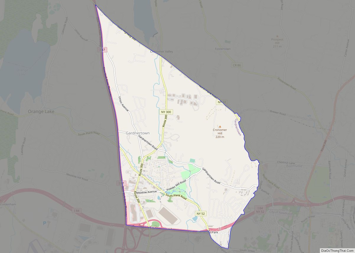
Balmville is a hamlet (and census-designated place) in Orange County, New York, United States. It is part of the Poughkeepsie–Newburgh–Middletown, NY Metropolitan Statistical Area as well as the larger New York–Newark–Bridgeport, NY-NJ–CT–PA Combined Statistical Area. It is located in the southeastern part of the Town of Newburgh. The population was 3,197 at the 2020 census. Many wealthy, influential, and upper income families live in Balmville on roads such as River Road, Sloane Road, Commonwealth Avenue, Susan Drive, and Grand Avenue. Susan Drive is accredited for housing the former Delano Family Estate (Algonac). The Delano family was the family of the mother of Franklin D. Roosevelt, and she in fact was born and raised at Algonac. Many homes in Balmville are incredibly expensive due to their pristine views of the Hudson River. Balmville is also the site of the Powelton Club Country Club. It currently ranks as the highest income hamlet in the greater Newburgh area.
Balmville is immediately north of, and adjoins, the city of Newburgh.
Balmville was home to the Balmville Tree, New York’s smallest state forest. The tree was one of three federally protected trees in the nation. It was called a “miracle tree” due to its age (over 300 years) for its species. On August 5, 2015, because of safety concerns caused by the rapid deterioration of the tree, it was cut down and removed by the New York State Department of Environmental Conservation.
| Name: | Balmville CDP |
|---|---|
| LSAD Code: | 57 |
| LSAD Description: | CDP (suffix) |
| State: | New York |
| County: | Orange County |
| Elevation: | 217 ft (66 m) |
| Total Area: | 2.12 sq mi (5.50 km²) |
| Land Area: | 2.12 sq mi (5.48 km²) |
| Water Area: | 0.00 sq mi (0.01 km²) |
| Total Population: | 3,197 |
| Population Density: | 1,510.16/sq mi (582.95/km²) |
| ZIP code: | 12550 |
| Area code: | 845 |
| FIPS code: | 3604286 |
| GNISfeature ID: | 0942941 |
Online Interactive Map
Click on ![]() to view map in "full screen" mode.
to view map in "full screen" mode.
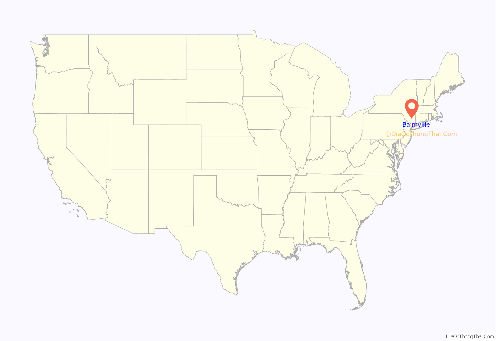
Balmville location map. Where is Balmville CDP?
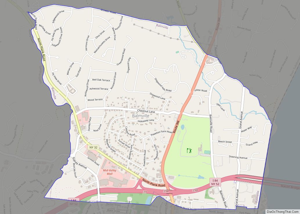
Balmville Road Map
Balmville city Satellite Map
Geography
Balmville is located at 41°31′40″N 74°1′28″W / 41.52778°N 74.02444°W / 41.52778; -74.02444 (41.527893, -74.024426).
According to the United States Census Bureau, the CDP has a total area of 2.1 square miles (5.4 km), all land.
See also
Map of New York State and its subdivision:- Albany
- Allegany
- Bronx
- Broome
- Cattaraugus
- Cayuga
- Chautauqua
- Chemung
- Chenango
- Clinton
- Columbia
- Cortland
- Delaware
- Dutchess
- Erie
- Essex
- Franklin
- Fulton
- Genesee
- Greene
- Hamilton
- Herkimer
- Jefferson
- Kings
- Lake Ontario
- Lewis
- Livingston
- Madison
- Monroe
- Montgomery
- Nassau
- New York
- Niagara
- Oneida
- Onondaga
- Ontario
- Orange
- Orleans
- Oswego
- Otsego
- Putnam
- Queens
- Rensselaer
- Richmond
- Rockland
- Saint Lawrence
- Saratoga
- Schenectady
- Schoharie
- Schuyler
- Seneca
- Steuben
- Suffolk
- Sullivan
- Tioga
- Tompkins
- Ulster
- Warren
- Washington
- Wayne
- Westchester
- Wyoming
- Yates
- Alabama
- Alaska
- Arizona
- Arkansas
- California
- Colorado
- Connecticut
- Delaware
- District of Columbia
- Florida
- Georgia
- Hawaii
- Idaho
- Illinois
- Indiana
- Iowa
- Kansas
- Kentucky
- Louisiana
- Maine
- Maryland
- Massachusetts
- Michigan
- Minnesota
- Mississippi
- Missouri
- Montana
- Nebraska
- Nevada
- New Hampshire
- New Jersey
- New Mexico
- New York
- North Carolina
- North Dakota
- Ohio
- Oklahoma
- Oregon
- Pennsylvania
- Rhode Island
- South Carolina
- South Dakota
- Tennessee
- Texas
- Utah
- Vermont
- Virginia
- Washington
- West Virginia
- Wisconsin
- Wyoming
