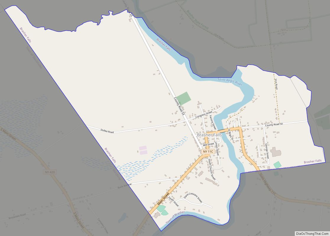
Brasher Falls is the largest hamlet and a census-designated place (CDP) in the town of Brasher in St. Lawrence County, New York, United States. As of the 2010 census, it had a population of 669.
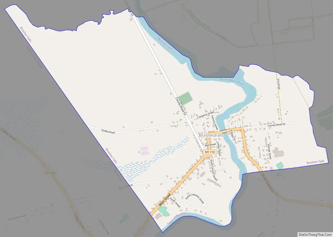
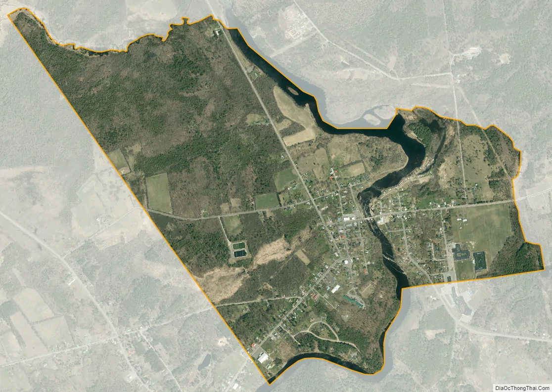
The community is in northeastern St. Lawrence County, in the southwestern corner of the town of Brasher. It is bordered to the west by Winthrop in the town of Stockholm, and to the south by the town of Lawrence. It sits on both sides of the St. Regis River, which drops 25 feet (7.6 m) in elevation through the hamlet, on its way north to join the St. Lawrence River in Quebec, Canada.
New York State Route 11C runs through Brasher Falls, leading southwest through Winthrop 4 miles (6 km) to U.S. Route 11 in Stockholm Center, and 7 miles (11 km) east and south to rejoin Route 11 at Coteys Corner in Lawrence. Massena is 11 miles (18 km) to the north, Malone is 33 miles (53 km) to the east, and Potsdam is 14 miles (23 km) to the southwest.
The Dr. Buck–Stevens House, an octagon house listed on the National Register of Historic Places, is on West Main Street in the hamlet.
| Name: | Brasher Falls CDP |
|---|---|
| LSAD Code: | 57 |
| LSAD Description: | CDP (suffix) |
| State: | New York |
| County: | St. Lawrence County |
| Elevation: | 290 ft (90 m) |
| Total Area: | 1.74 sq mi (4.52 km²) |
| Land Area: | 1.64 sq mi (4.25 km²) |
| Water Area: | 0.10 sq mi (0.26 km²) |
| Total Population: | 674 |
| Population Density: | 410.23/sq mi (158.43/km²) |
| ZIP code: | 13613 |
| Area code: | 315/680 |
| FIPS code: | 3607960 |
| GNISfeature ID: | 2584244 |
Online Interactive Map
Click on ![]() to view map in "full screen" mode.
to view map in "full screen" mode.
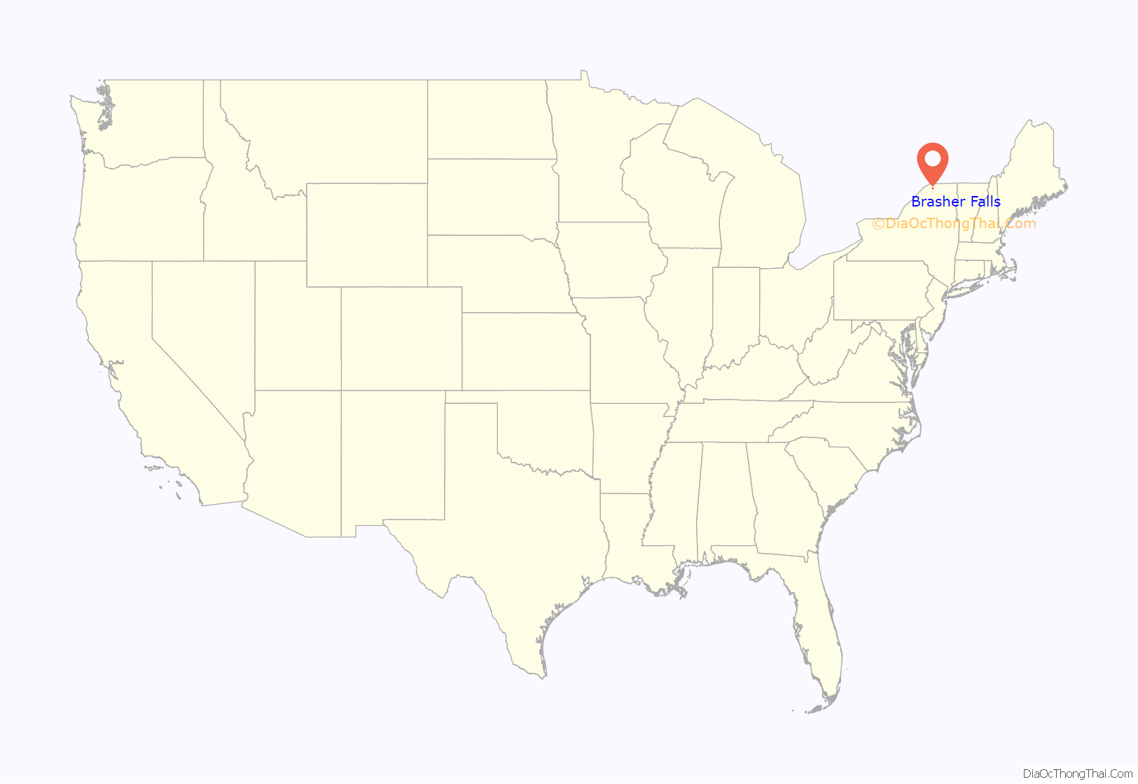
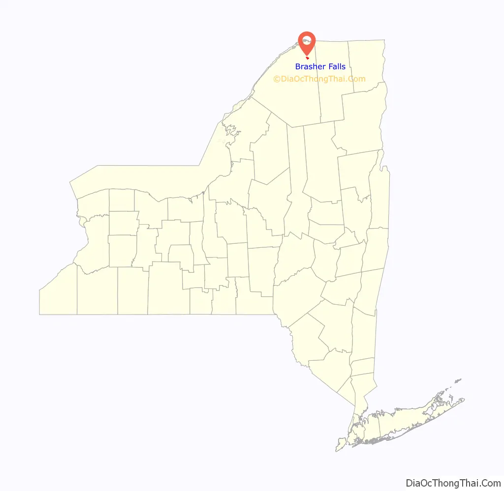
Brasher Falls location map. Where is Brasher Falls CDP?
Brasher Falls Road Map
Brasher Falls city Satellite Map
See also
Map of New York State and its subdivision:- Albany
- Allegany
- Bronx
- Broome
- Cattaraugus
- Cayuga
- Chautauqua
- Chemung
- Chenango
- Clinton
- Columbia
- Cortland
- Delaware
- Dutchess
- Erie
- Essex
- Franklin
- Fulton
- Genesee
- Greene
- Hamilton
- Herkimer
- Jefferson
- Kings
- Lake Ontario
- Lewis
- Livingston
- Madison
- Monroe
- Montgomery
- Nassau
- New York
- Niagara
- Oneida
- Onondaga
- Ontario
- Orange
- Orleans
- Oswego
- Otsego
- Putnam
- Queens
- Rensselaer
- Richmond
- Rockland
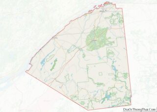
- Saint Lawrence
- Saratoga
- Schenectady
- Schoharie
- Schuyler
- Seneca
- Steuben
- Suffolk
- Sullivan
- Tioga
- Tompkins
- Ulster
- Warren
- Washington
- Wayne
- Westchester
- Wyoming
- Yates
- Alabama
- Alaska
- Arizona
- Arkansas
- California
- Colorado
- Connecticut
- Delaware
- District of Columbia
- Florida
- Georgia
- Hawaii
- Idaho
- Illinois
- Indiana
- Iowa
- Kansas
- Kentucky
- Louisiana
- Maine
- Maryland
- Massachusetts
- Michigan
- Minnesota
- Mississippi
- Missouri
- Montana
- Nebraska
- Nevada
- New Hampshire
- New Jersey
- New Mexico
- New York
- North Carolina
- North Dakota
- Ohio
- Oklahoma
- Oregon
- Pennsylvania
- Rhode Island
- South Carolina
- South Dakota
- Tennessee
- Texas
- Utah
- Vermont
- Virginia
- Washington
- West Virginia
- Wisconsin
- Wyoming