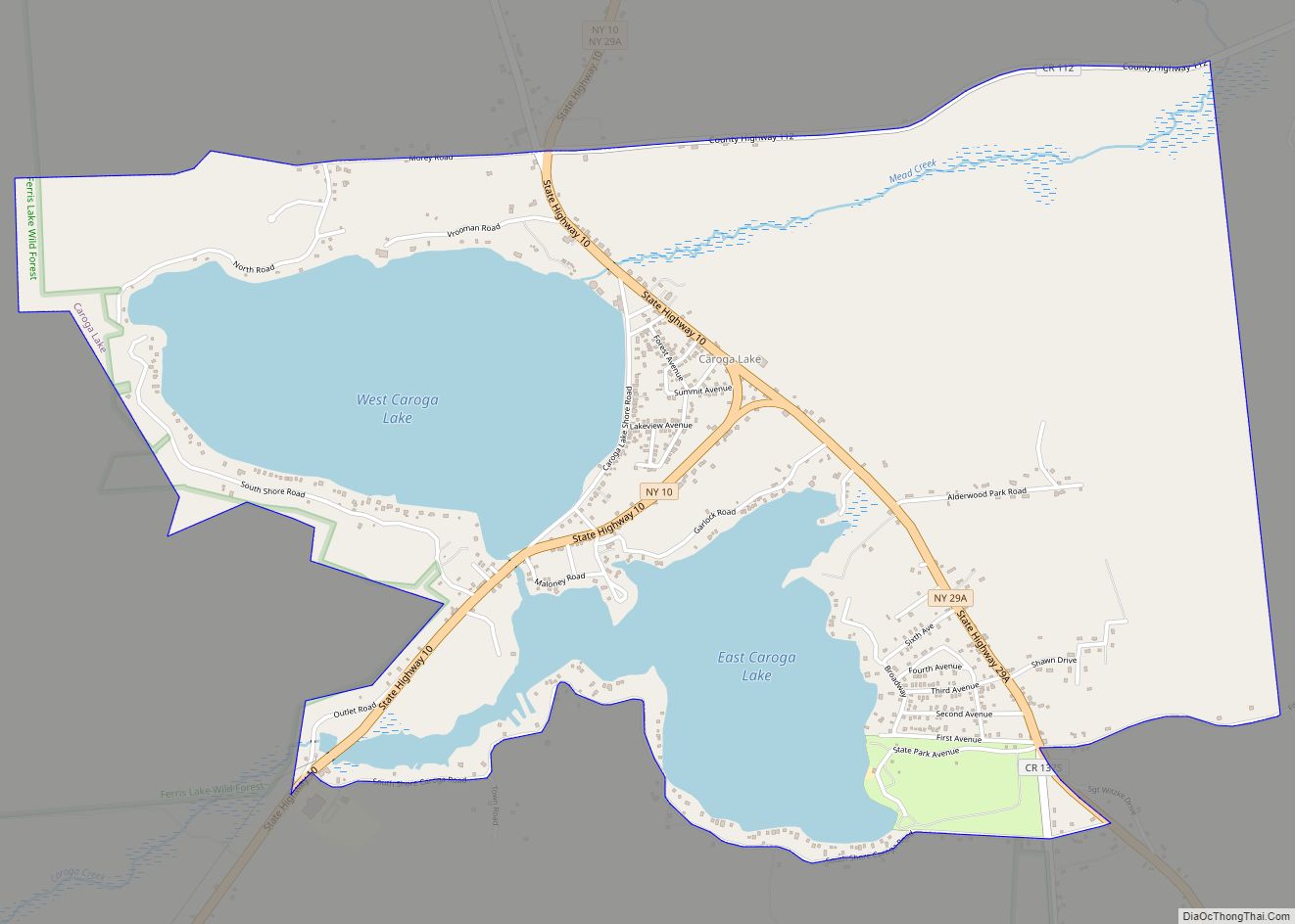
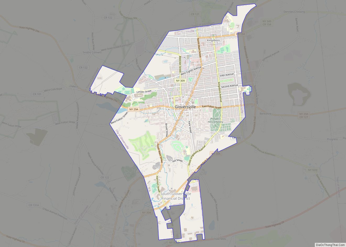
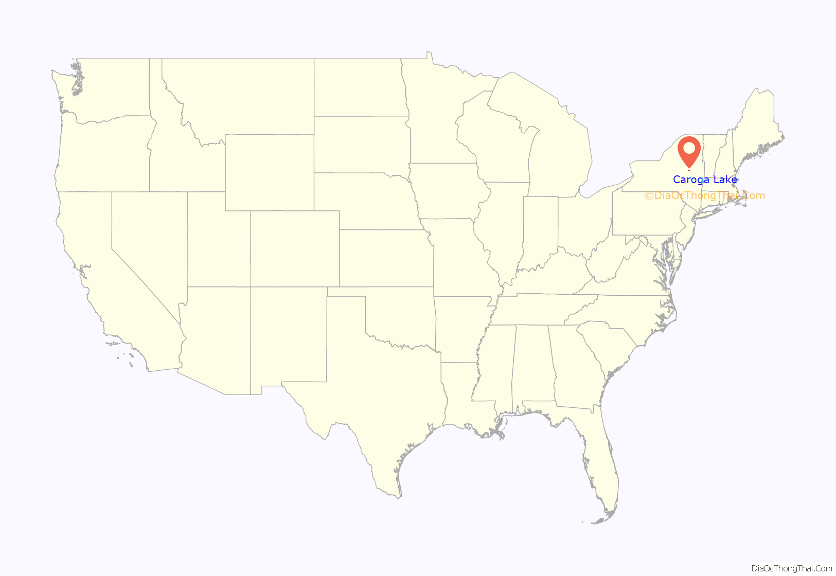
Caroga Lake is an unincorporated community and census-designated place (CDP) in the town of Caroga, Fulton County, New York, United States. The population was 518 at the 2010 census. The hamlet is in the southern part of the town of Caroga and is northwest of Gloversville. Two lakes, West Caroga Lake and East Caroga Lake are located next to the hamlet.
| Name: | Caroga Lake CDP |
|---|---|
| LSAD Code: | 57 |
| LSAD Description: | CDP (suffix) |
| State: | New York |
| County: | Fulton County |
| Elevation: | 1,480 ft (450 m) |
| Total Area: | 3.37 sq mi (8.74 km²) |
| Land Area: | 2.50 sq mi (6.48 km²) |
| Water Area: | 0.87 sq mi (2.26 km²) |
| Total Population: | 548 |
| Population Density: | 219.20/sq mi (84.62/km²) |
| ZIP code: | 12032 |
| Area code: | 518 |
| FIPS code: | 3612584 |
| GNISfeature ID: | 0945874 |
Online Interactive Map
Click on ![]() to view map in "full screen" mode.
to view map in "full screen" mode.
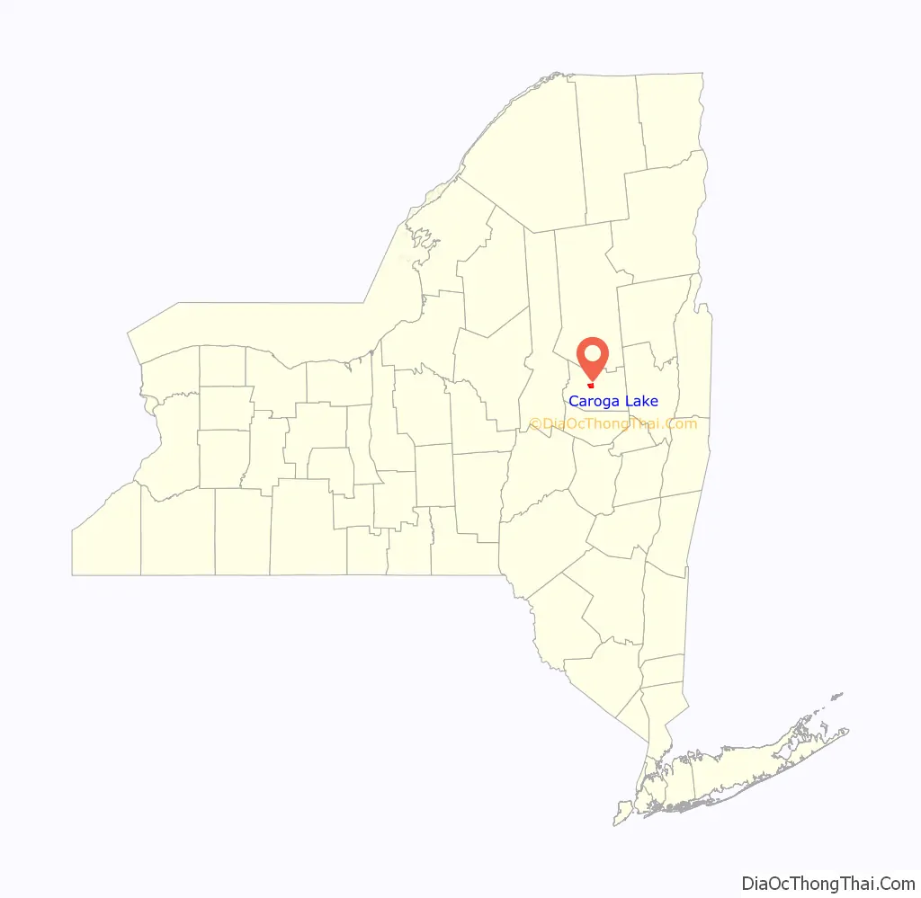
Caroga Lake location map. Where is Caroga Lake CDP?
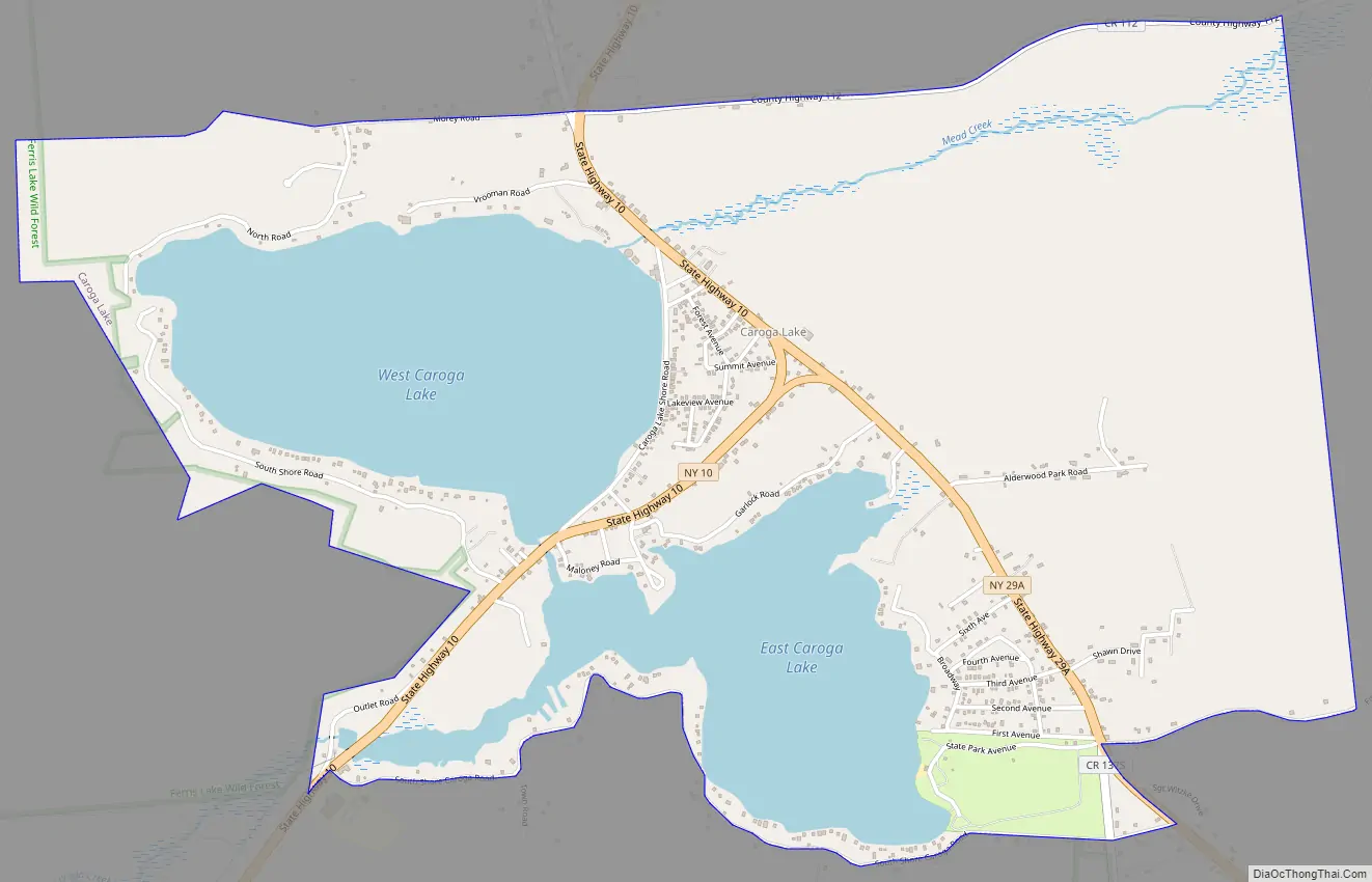
Caroga Lake Road Map
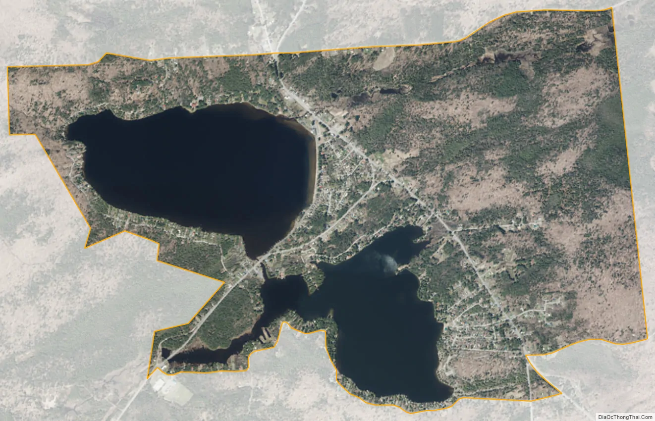
Caroga Lake city Satellite Map
Geography
The community of Caroga Lake is situated in northern Fulton County in the southern Adirondack Mountains, centered on a peninsula between West Caroga Lake to the west and East Caroga Lake to the south. The CDP area includes both of the lakes and the developed land surrounding the lakes. According to the United States Census Bureau, the CDP has a total area of 3.4 square miles (8.7 km), of which 2.5 square miles (6.5 km) is land and 0.89 square miles (2.3 km), or 25.89%, is water.
New York State Routes 10 and 29A intersect at the center of the community. NY 10 leads north 24 miles (39 km) to Piseco Lake and south 19 miles (31 km) to Canajoharie on the Mohawk River, while NY 29A leads southeast 10 miles (16 km) to Gloversville. NY 29A follows NY 10 to the northwest out of town, then turns west towards Stratford, 14 miles (23 km) from Caroga Lake.
See also
Map of New York State and its subdivision:- Albany
- Allegany
- Bronx
- Broome
- Cattaraugus
- Cayuga
- Chautauqua
- Chemung
- Chenango
- Clinton
- Columbia
- Cortland
- Delaware
- Dutchess
- Erie
- Essex
- Franklin
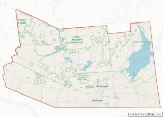
- Fulton
- Genesee
- Greene
- Hamilton
- Herkimer
- Jefferson
- Kings
- Lake Ontario
- Lewis
- Livingston
- Madison
- Monroe
- Montgomery
- Nassau
- New York
- Niagara
- Oneida
- Onondaga
- Ontario
- Orange
- Orleans
- Oswego
- Otsego
- Putnam
- Queens
- Rensselaer
- Richmond
- Rockland
- Saint Lawrence
- Saratoga
- Schenectady
- Schoharie
- Schuyler
- Seneca
- Steuben
- Suffolk
- Sullivan
- Tioga
- Tompkins
- Ulster
- Warren
- Washington
- Wayne
- Westchester
- Wyoming
- Yates
- Alabama
- Alaska
- Arizona
- Arkansas
- California
- Colorado
- Connecticut
- Delaware
- District of Columbia
- Florida
- Georgia
- Hawaii
- Idaho
- Illinois
- Indiana
- Iowa
- Kansas
- Kentucky
- Louisiana
- Maine
- Maryland
- Massachusetts
- Michigan
- Minnesota
- Mississippi
- Missouri
- Montana
- Nebraska
- Nevada
- New Hampshire
- New Jersey
- New Mexico
- New York
- North Carolina
- North Dakota
- Ohio
- Oklahoma
- Oregon
- Pennsylvania
- Rhode Island
- South Carolina
- South Dakota
- Tennessee
- Texas
- Utah
- Vermont
- Virginia
- Washington
- West Virginia
- Wisconsin
- Wyoming