Johnstown is a city in and the county seat of Fulton County in the U.S. state of New York. The city was named after its founder, Sir William Johnson, Superintendent of Indian Affairs in the Province of New York and a major general during the Seven Years’ War in North America. It is located approximately 45 miles (72 km) northwest of Albany, about one-third of the way between Albany and the Finger Lakes region to the west, in the Mohawk Valley region, within the foothills of the Adirondack Mountains.
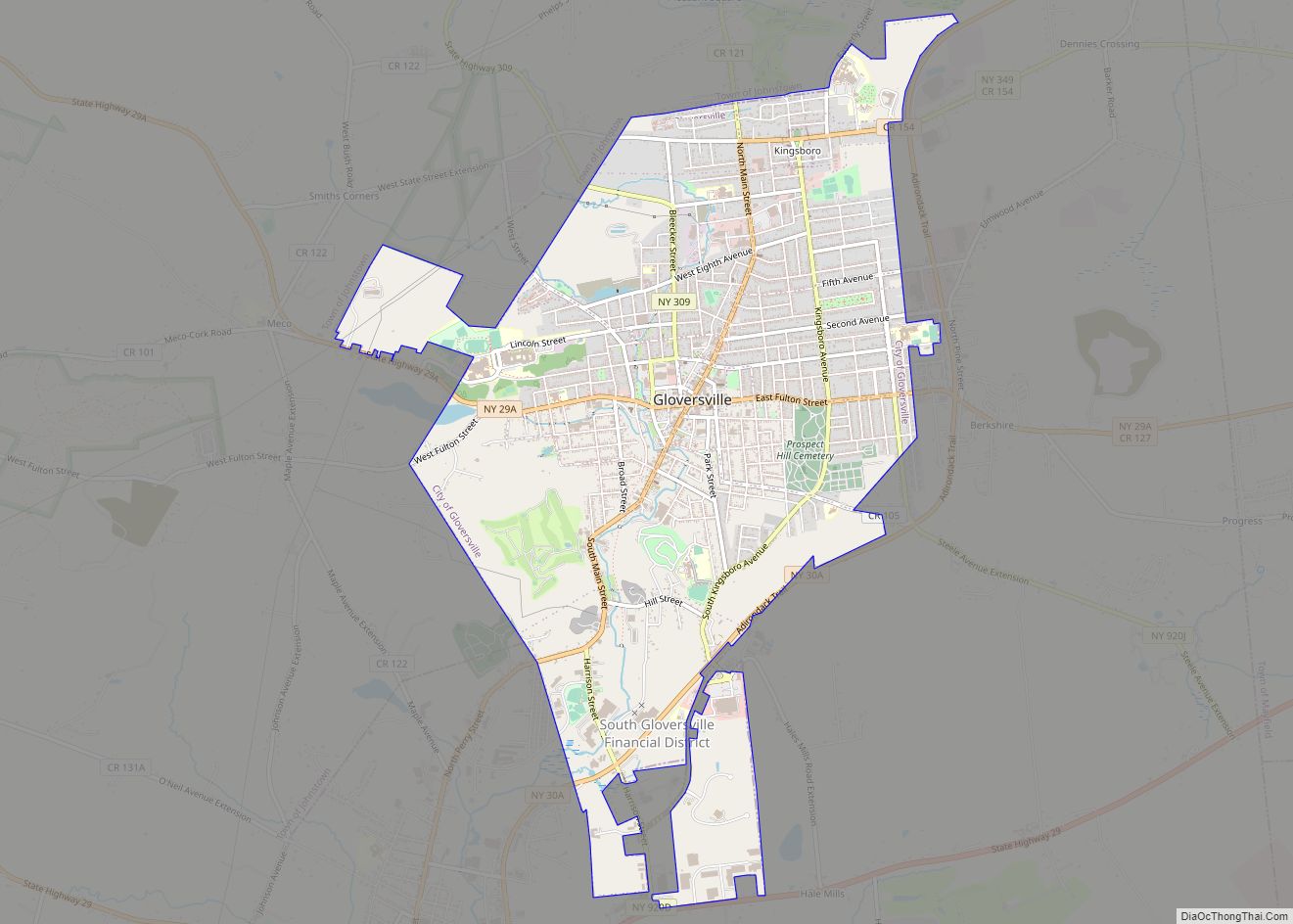
The city of Johnstown is mostly surrounded by the town of Johnstown, of which it was once a part when it was a village. Adjacent to Johnstown is the City of Gloversville. The two cities are together known as the “Glove Cities” due to their history of manufacturing gloves and other leather apparel. Gloversville and Johnstown together constituted the center of the American glove industry for 90 years until competition from other countries drove most of the manufacturers out of business.
As of the 2010 Census, the city had population of 8,743.
| Name: | Johnstown city |
|---|---|
| LSAD Code: | 25 |
| LSAD Description: | city (suffix) |
| State: | New York |
| County: | Fulton County |
| Incorporated: | 1803 (village) 1895 (city) |
| Elevation: | 673 ft (205 m) |
| Total Area: | 4.82 sq mi (12.50 km²) |
| Land Area: | 4.82 sq mi (12.49 km²) |
| Water Area: | 0.00 sq mi (0.01 km²) |
| Total Population: | 8,204 |
| Population Density: | 1,702.07/sq mi (657.11/km²) |
| ZIP code: | 12095 |
| Area code: | 518 |
| FIPS code: | 3638781 |
| GNISfeature ID: | 0954147 |
| Website: | cityofjohnstown.ny.gov |
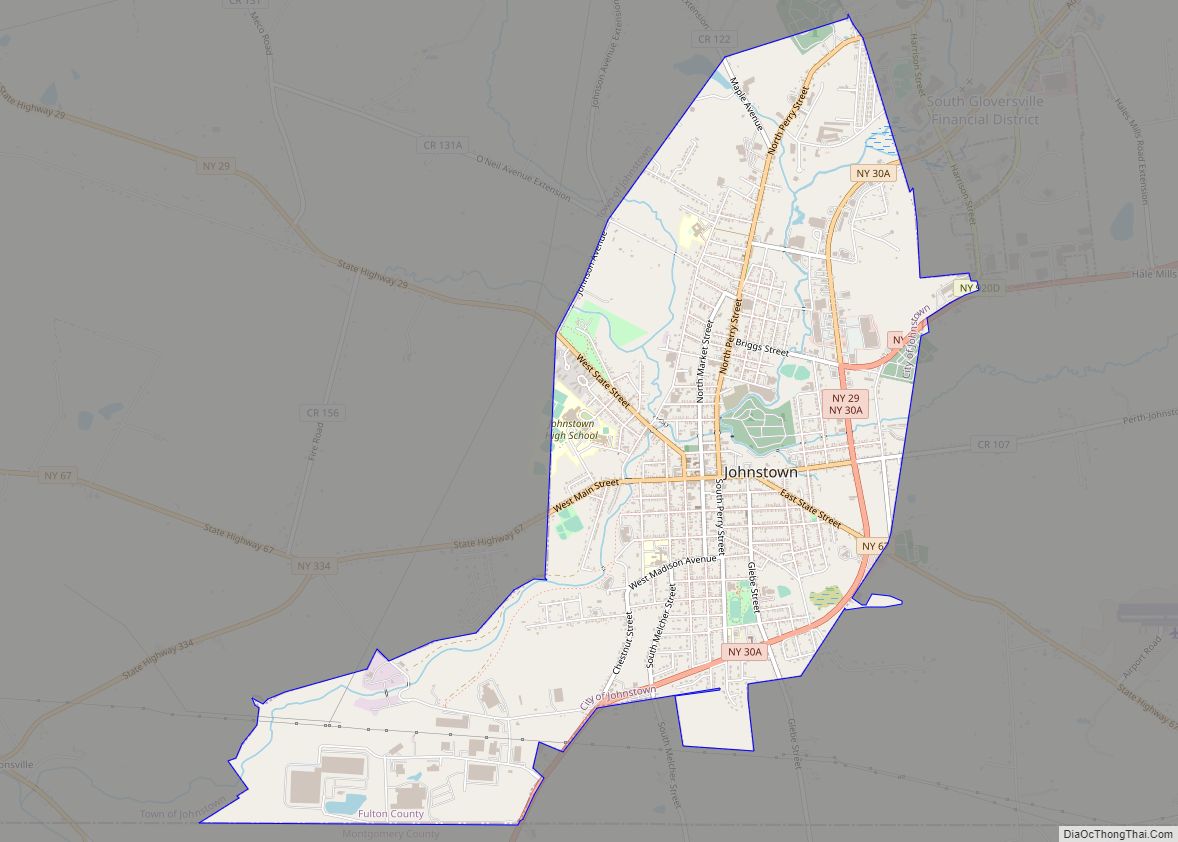
Online Interactive Map
Click on ![]() to view map in "full screen" mode.
to view map in "full screen" mode.
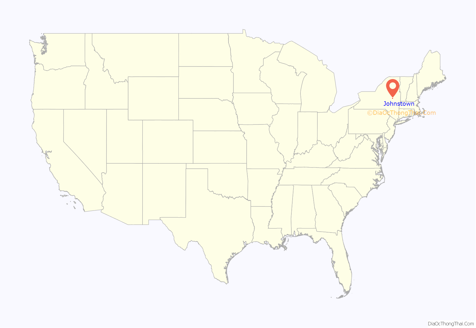
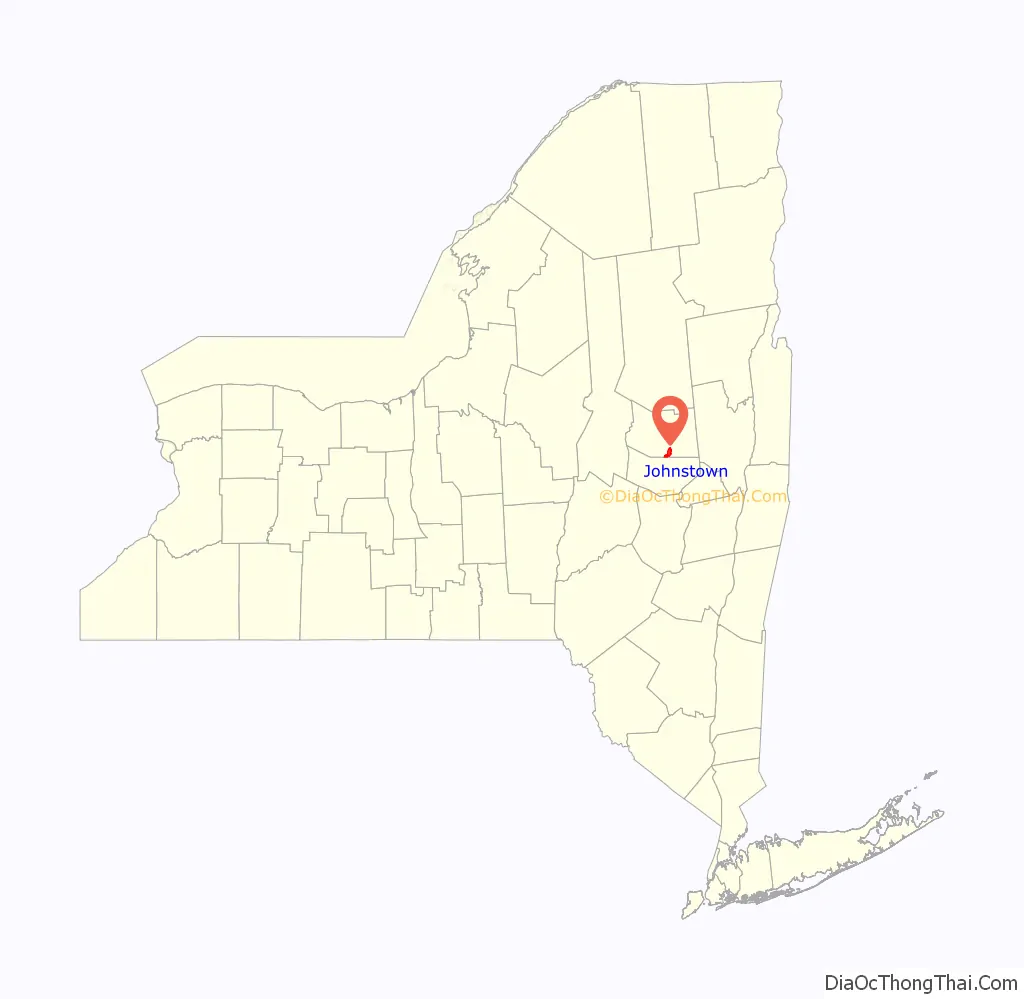
Johnstown location map. Where is Johnstown city?
History
Early colonial history
The Irishman William Johnson came to the Province of New York from Ireland in 1738. Johnson was a trader who learned Native American languages and culture, and formed close relationships with many Native American leaders, especially those of the Mohawks and other members of the Iroquois Confederacy. His alliances and influence with the Iroquois played a significant part in the French and Indian War, in which he was a major general.
As a reward for his services, Johnson received large tracts of land in what are now Hamilton and Fulton counties. He established Johnstown and became one of New York’s most prosperous and influential citizens. He was the largest landowner in the Mohawk Valley, with an estate of more than 400,000 acres (1,600 km) before his death. Having begun as an Indian trader, he expanded his business interests to include a sawmill and lumber business, and a flour mill that served the area. Johnson, the largest slaveholder in the county and perhaps in the state of New York, had some 60 enslaved Africans working these businesses. He also recruited many Scottish Highlander and Irish tenant farmers to work his lands. Observing Johnson’s successful business endeavors, the local Native American inhabitants dubbed him Warragghivagey, or “he who does much business.”
Johnson founded the village of Johnstown – originally “John’s Town” – in 1762, naming it after his son John Johnson. Johnson built a school, which was free but not mandatory, to educate both Mohawk and white children. He was also instrumental in the organization of St. John’s Espiscopal Church. Johnson, who had been living in what is now known as Old Fort Johnson, also built a large manor house and estate for himself in 1763, Johnson Hall, where he lived until his death. Johnson Hall was designated a National Historic Landmark in 1960. It is operated by New York State as an historic site.
As the area owned and settled by Johnson grew, he convinced the governor, William Tryon, to establish a new county in upstate New York west of Albany County. This new county was named Tryon, after the governor, and Johnstown was made the county seat. The county courthouse, built by William Johnson in Johnstown in 1772, partly at his own expense, still stands today, as the oldest operating courthouse in New York. Sir William Johnson died in 1774 before the American colonies declared their independence from Britain.
Revolutionary War and aftermath
After the onset of the American Revolutionary War, many British Loyalists, including Johnson’s son John and his family fled both Johnstown and the surrounding area for Canada. All of the Johnson property was confiscated by the state in 1779 because of the family’s Loyalist sentiments and support for the British cause. Johnson Hall suffered vandalism at the hands of Continental soldiers quartered there. The house and estate were subsequently sold to Silas Talbot, a naval officer and hero of the American Revolution.
Although the majority of the fighting during the Revolution took place elsewhere, Johnstown did see some fighting late in the war. With area residents not knowing of Cornwallis’ defeat and surrender at the Battle of Yorktown in Virginia, about 1,400 soldiers fought at the Battle of Johnstown, one of the last battles of the Revolution, on October 25, 1781. The Continental forces, led by Col. Marinus Willett of Fort Johnstown, ultimately put the British to flight after they had burned large tracts of land in the Mohawk Valley.
After the war, Johnstown became part of Montgomery County when the name of Tryon County was changed to honor the Continental General Richard Montgomery, who died at the Battle of Quebec.
19th century to the present
In 1803, the community of Johnstown was incorporated as a village. In 1838, Johnstown’s county affiliation changed yet again when what by then remained of Montgomery County was divided into two separate counties: Montgomery and Fulton. While the village of Fonda became the new county seat of Montgomery County, Johnstown became the county seat of Fulton County. The village of Johnstown became a city in 1895, becoming separate from the surrounding town.
Elizabeth Cady Stanton, who became a prominent activist for women’s rights, was born in Johnstown in 1815, and was educated at the Johnstown Academy.
In 1889, Johnstown suffered a devastating flood. The Cayadutta Creek rampaged, Schreiber’s Skin Mill was swept away, as was the State Street bridge, and over twenty people were drowned or missing when the flood carried away the Perry Street bridge.
In 1906, the state of New York bought Johnson Hall from its private owners in order to renovate and preserve it.
With plentiful forests of hemlock trees and the wood bark they produced, Johnstown became a center for tanning of leather during the late 19th century. By the early 20th century Johnstown, along with neighboring Gloversville, became known as the glove-making capital of the world. Nicknamed the “Glove Cities”, the two cities are still called that today. Many fringe business once existed to support the glove and leather industries around Johnstown. Box manufacturers, thread dealers, sewing machine repairmen, chemical companies and many others made a living helping to supply and service the industry.
One of the early industries to establish itself in Johnstown was the Knox gelatine plant. It was built in 1890 by Charles B. Knox, a prominent Johnstown resident, who developed the granulated, unflavored gelatin still used in food preparation today. When Knox died in 1908, his wife Rose Knox assumed management of the business. She became one of the earliest successful American businesswomen. The Knox family and its philanthropic foundation were generous to the city. Results of their philanthropy can still be found there today. They gave the city the block of land known as Knox Field, where the playgrounds, athletic fields, and bridle path are located. Knox Junior High School was named in honor of the family. The Knox Gelatin plant, once a major employer in Johnstown, closed in 1975 following the sale of the company to the Lipton Tea Company.
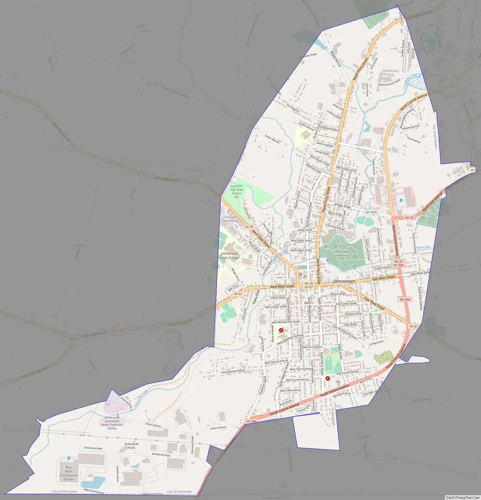
Johnstown Road Map
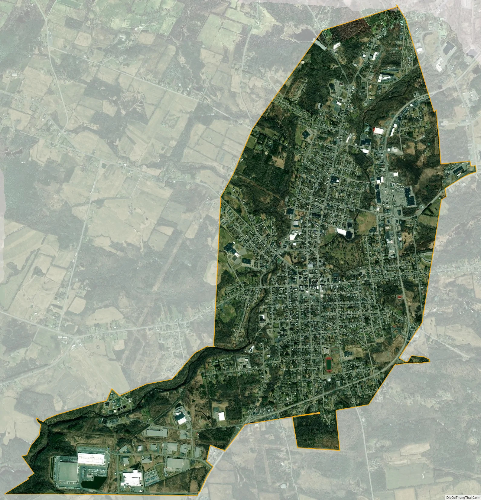
Johnstown city Satellite Map
Geography
Johnstown is located along the southern edge of Fulton County, in the picturesque Mohawk Valley of upstate New York. It is slightly north of the route developed for the Erie Canal through what is now Montgomery County. Although not a hilltown, Johnstown is close to the Adirondack Mountains that stretch across the northern portion of Fulton County. It is situated near the southern border of the Adirondack Park.
According to the United States Census Bureau, the city has a total area of 4.88 square miles (12.65 km), of which 4.88 square miles (12.63 km) is land and 0.01 square miles (0.02 km), or 0.17%, is water. The city is bordered to the north, east, and west by the town of Johnstown, to the northeast by the city of Gloversville, and to the south by the town of Mohawk in Montgomery County.
Cayadutta Creek, which runs through the city, provided water power needed to generate the electricity required by the various industries that grew up in Johnstown. The creek flows south to join the Mohawk River at Fonda.
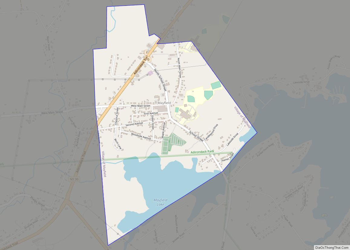
East-west highways, New York State Route 29 and New York State Route 67, intersect in the city and also cross the north-south highway New York State Route 30A. NY 29 leads east 32 miles (51 km) to Saratoga Springs and northwest 8 miles (13 km) to Rockwood. NY 67 leads southeast 11 miles (18 km) to Amsterdam and west 18 miles (29 km) to St. Johnsville. NY 30A leads northeast 4 miles (6 km) to Gloversville and 10 miles (16 km) to Mayfield, as well as south 4.5 miles (7.2 km) to Fonda and 6 miles (10 km) to the New York Thruway.
See also
Map of New York State and its subdivision:- Albany
- Allegany
- Bronx
- Broome
- Cattaraugus
- Cayuga
- Chautauqua
- Chemung
- Chenango
- Clinton
- Columbia
- Cortland
- Delaware
- Dutchess
- Erie
- Essex
- Franklin
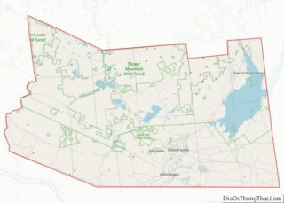
- Fulton
- Genesee
- Greene
- Hamilton
- Herkimer
- Jefferson
- Kings
- Lake Ontario
- Lewis
- Livingston
- Madison
- Monroe
- Montgomery
- Nassau
- New York
- Niagara
- Oneida
- Onondaga
- Ontario
- Orange
- Orleans
- Oswego
- Otsego
- Putnam
- Queens
- Rensselaer
- Richmond
- Rockland
- Saint Lawrence
- Saratoga
- Schenectady
- Schoharie
- Schuyler
- Seneca
- Steuben
- Suffolk
- Sullivan
- Tioga
- Tompkins
- Ulster
- Warren
- Washington
- Wayne
- Westchester
- Wyoming
- Yates
- Alabama
- Alaska
- Arizona
- Arkansas
- California
- Colorado
- Connecticut
- Delaware
- District of Columbia
- Florida
- Georgia
- Hawaii
- Idaho
- Illinois
- Indiana
- Iowa
- Kansas
- Kentucky
- Louisiana
- Maine
- Maryland
- Massachusetts
- Michigan
- Minnesota
- Mississippi
- Missouri
- Montana
- Nebraska
- Nevada
- New Hampshire
- New Jersey
- New Mexico
- New York
- North Carolina
- North Dakota
- Ohio
- Oklahoma
- Oregon
- Pennsylvania
- Rhode Island
- South Carolina
- South Dakota
- Tennessee
- Texas
- Utah
- Vermont
- Virginia
- Washington
- West Virginia
- Wisconsin
- Wyoming