Gloversville is a city in the Mohawk Valley region of Upstate New York, United States. The most populous city in Fulton County, Gloversville was once the hub of the United States’ glovemaking industry, with over two hundred manufacturers in Gloversville and the adjacent city of Johnstown. In 2020, Gloversville had a population of 15,131.
| Name: | Gloversville city |
|---|---|
| LSAD Code: | 25 |
| LSAD Description: | city (suffix) |
| State: | New York |
| County: | Fulton County |
| Elevation: | 820 ft (250 m) |
| Total Area: | 5.05 sq mi (13.09 km²) |
| Land Area: | 5.05 sq mi (13.07 km²) |
| Water Area: | 0.01 sq mi (0.02 km²) |
| Total Population: | 15,131 |
| Population Density: | 2,998.61/sq mi (1,157.76/km²) |
| ZIP code: | 12078, 12095 |
| Area code: | 518 |
| FIPS code: | 3629443 |
| GNISfeature ID: | 0951265 |
| Website: | www.cityofgloversville.com |
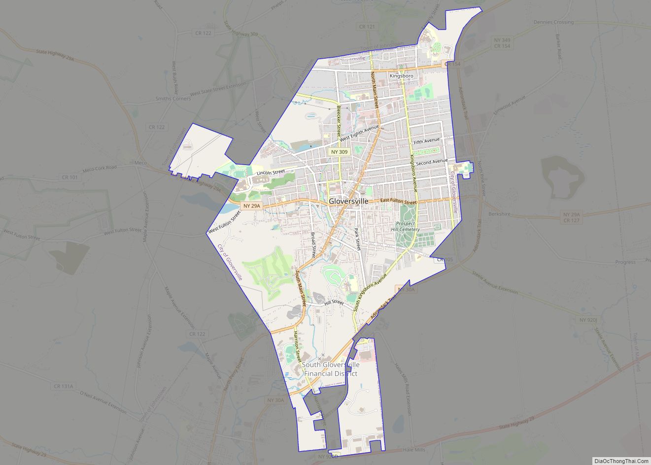
Online Interactive Map
Click on ![]() to view map in "full screen" mode.
to view map in "full screen" mode.
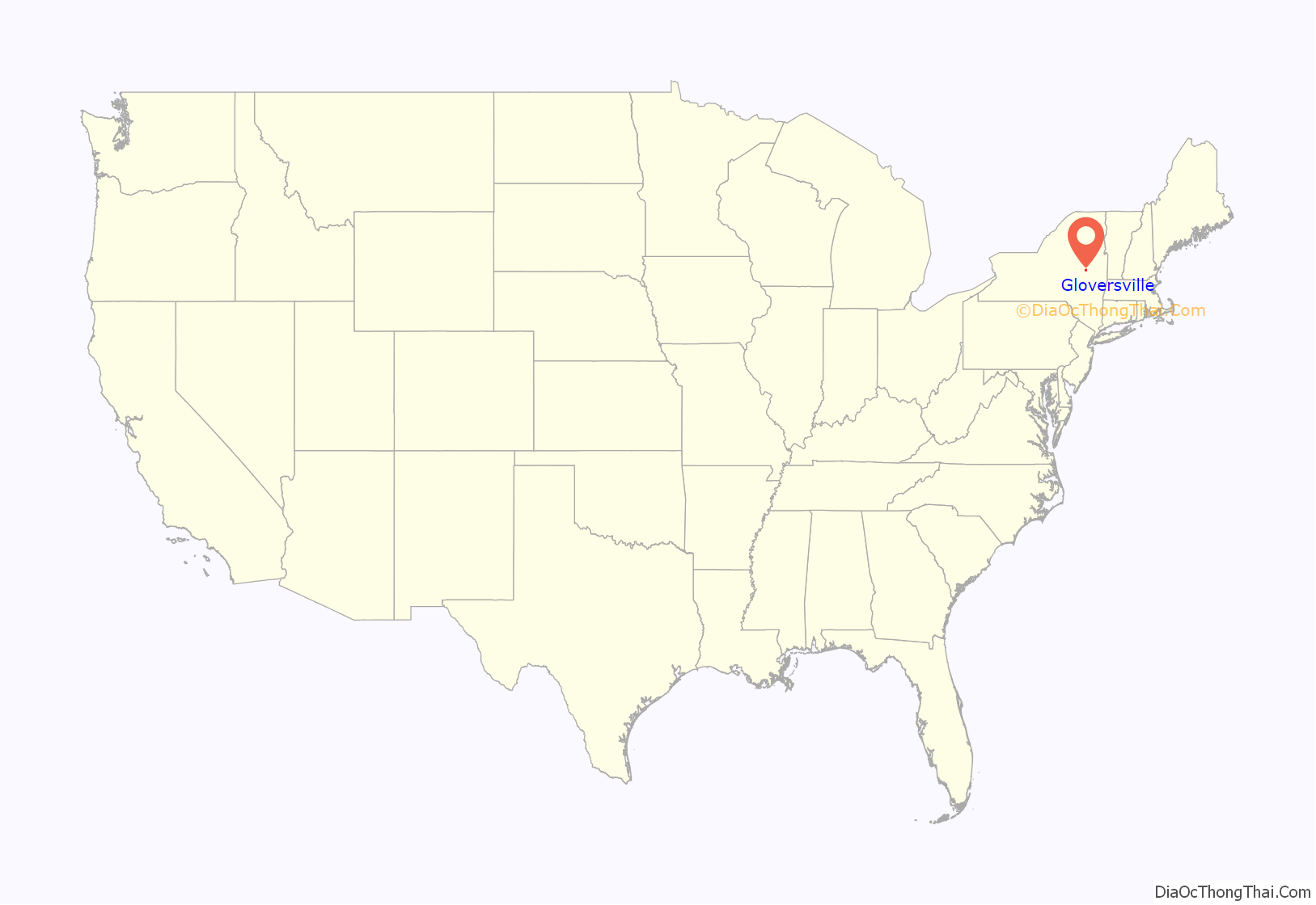
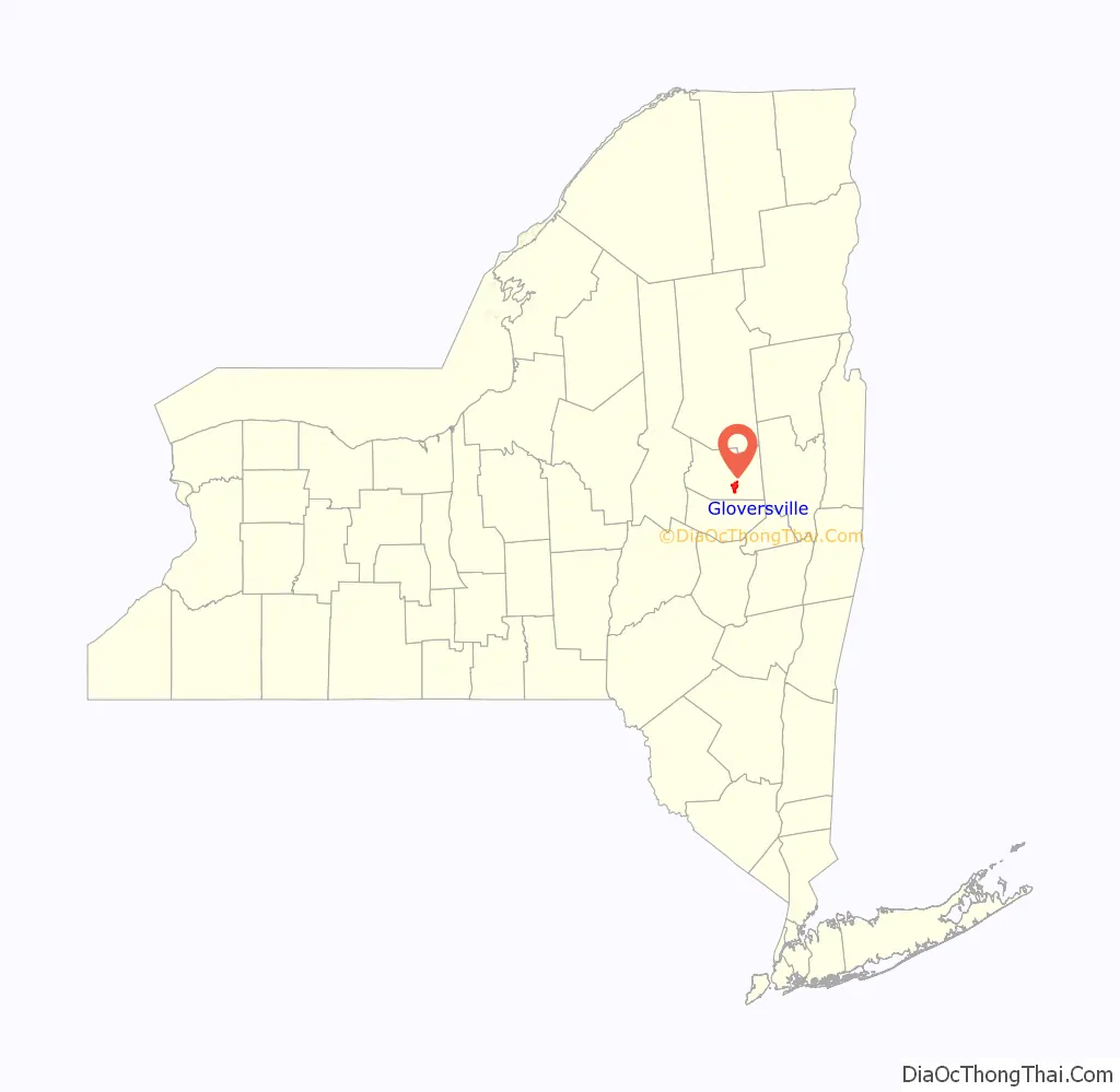
Gloversville location map. Where is Gloversville city?
History
Settlers of European descent came to the Gloversville area as early as 1752.
The region, historically known as “Kingsborough”, was acquired by Sir William Johnson, 1st Baronet, who established tremendous influence with the Native Americans of the area, which translated into control of the Mohawk Valley region. It was due to Johnson where the Six Nations Iroquois Confederacy remained allied with England during the French and Indian War. In reward, Johnson was granted the Kingsborough Tract, a large parcel of land which was settled by Scottish Highlanders. Some of the Highlanders were so loyal to Johnson that after the Revolutionary War, they followed his son to Canada.
In 1752, Arent Stevens purchased land in the area. Puritans from New England settled there at the end of the 18th century, utilizing the houses and cleared land that had been left behind when the Highlanders emigrated. By 1803, according to Elisha Yale, the population of Kingsborough consisted of “233 families and about 1,400 souls. Of the families, 191 are of English descent, twenty-three Scotch, fourteen Dutch, and five Irish.”
In 1852 Gloversville had a population of 1,318 living on 525 acres in 250 small wood-frame houses centered on the “Four Corners” formed by the intersection of Main and Fulton Streets. The proximity of hemlock forests to supply bark for tanning made the community a center of leather production early in its history: there were already 40 small glove and mitten factories there by 1852. The city would become the center of the American glovemaking industry for many years. From 1890 to 1950, 90% of all gloves sold in the United States were made in Gloversville.
Upon the establishment of a United States post office in 1828, “Gloversville” became the official name of the community. Prior to that Gloversville had been known as “Stump City” because of the large number of trees that had been cut down. In 1853, Gloversville incorporated as a village, and then in 1890 as a city. The city grew rapidly, and the population swelled from 4,000 in 1877 to 13,864 in 1890.
Glove-making operations had gradually changed from being home-based to being factory-based, and large tanneries and glove shops employed nearly 80% of the residents of Gloversville area. Home workers sewed the gloves from leather which had been cut in factories. Related businesses, such as box makers, sewing machine repairmen, and thread dealers opened to serve the industry.
Until 1936, Gloversville had a very active electric interurban line, the Fonda, Johnstown and Gloversville Railroad. It ran from Gloversville, through Johnstown, along the Mohawk River to Amsterdam, then to Scotia, then across the Mohawk River, and into downtown Schenectady to the New York Central station. In 1932, in a bold move during the Great Depression it acquired unique bullet cars in an attempt to revive the economy. Freight operation continued through this era. Gloversville also became the main headquarters for the Schine movie industry in the mid-20th century.
Following the Great Depression, the decline of the glove industry left the city financially depressed with many downtown storefronts abandoned and store windows covered with plywood. Many houses were abandoned when people moved out of town to find jobs elsewhere. The city’s population peaked at 23,634 in 1950 and had since fallen to 15,665 people in 2010. In 2018, redevelopment plans of downtown Gloversville were revealed. In 2019, Mayor Vincent DeSantis (D) proposed economic revitalization plans. On June 5, 2020, the Regan Development Corporation, based in Ardsley, New York, proposed plans to develop a new commercial space and apartment complex for the city. The city, along with the Fulton County Center for Regional Growth, also began expanding digital marketing to attract new residents and businesses from throughout New York State in efforts to diversify.
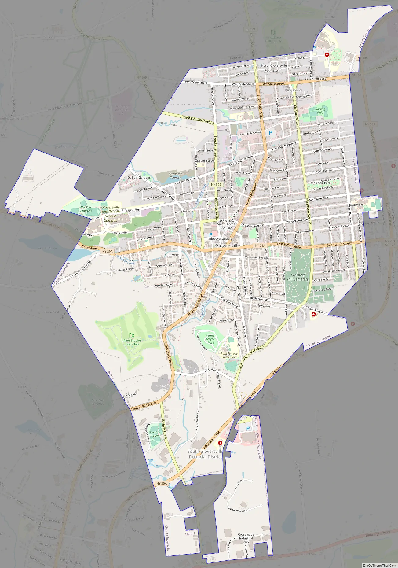
Gloversville Road Map
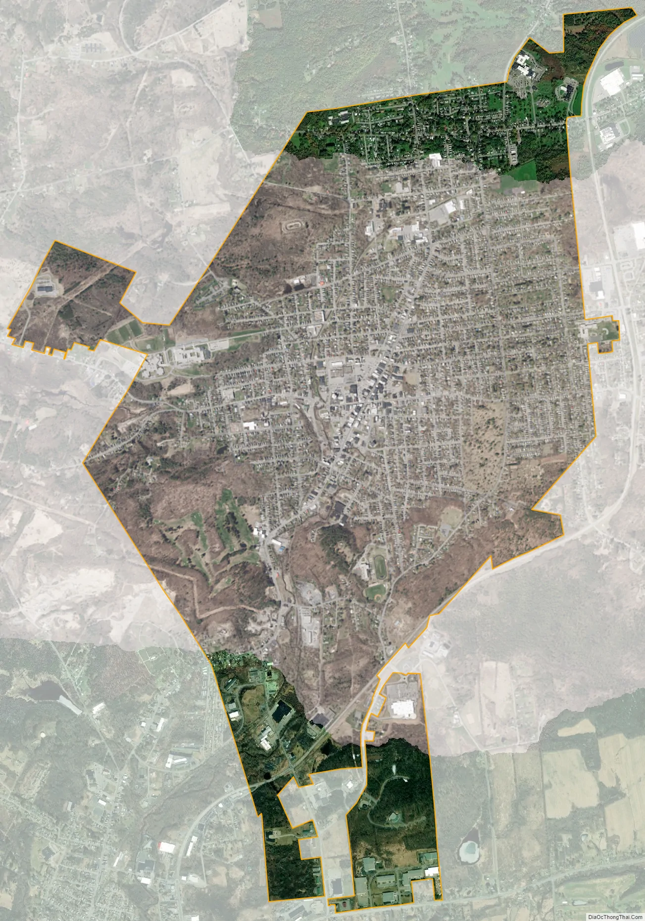
Gloversville city Satellite Map
Geography
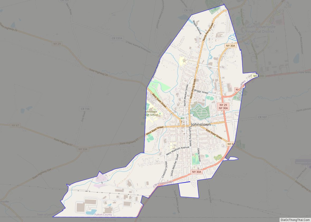
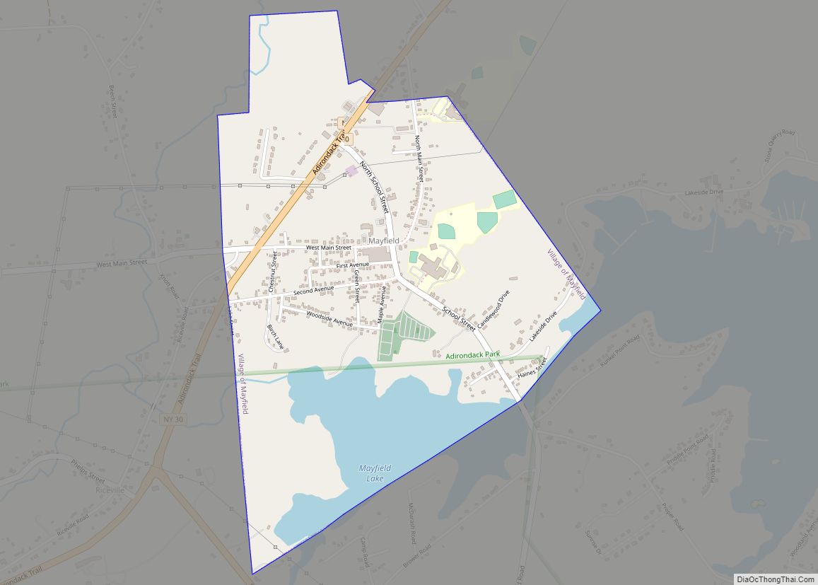
According to the United States Census Bureau, the city has a total area of 5.1 square miles (13.3 km), of which 0.0077 square miles (0.02 km), or 0.17%, is water. New York State Route 29A (Fulton Street) is an east–west road through the city. New York State Route 30A is a north–south highway along the eastern edge of the city, leading south 4 miles (6 km) into Johnstown and northeast 5 miles (8 km) to Mayfield at the southwestern end of Great Sacandaga Lake. Another north–south highway, New York State Route 309 (Bleecker Street), has its southern terminus at NY-29A in the center of Gloversville.
Cayadutta Creek, a tributary of the Mohawk River, flows southward through the city.
The city sits in the foothills of the Adirondack Mountains and therefore is within a climatic transition zone. Gloversville experiences the warmer summer temperatures common throughout the Capital Region, Hudson Valley, and Mohawk Valley while experiencing generally more copious precipitation throughout the year than the Capital Region. This manifests in commonplace rolling thunderstorms throughout the summer months and snowfall amounts more akin to the lake-pocked higher elevations of the Adirondacks in the winter months.
See also
Map of New York State and its subdivision:- Albany
- Allegany
- Bronx
- Broome
- Cattaraugus
- Cayuga
- Chautauqua
- Chemung
- Chenango
- Clinton
- Columbia
- Cortland
- Delaware
- Dutchess
- Erie
- Essex
- Franklin
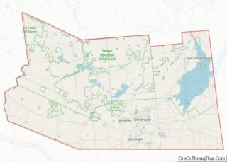
- Fulton
- Genesee
- Greene
- Hamilton
- Herkimer
- Jefferson
- Kings
- Lake Ontario
- Lewis
- Livingston
- Madison
- Monroe
- Montgomery
- Nassau
- New York
- Niagara
- Oneida
- Onondaga
- Ontario
- Orange
- Orleans
- Oswego
- Otsego
- Putnam
- Queens
- Rensselaer
- Richmond
- Rockland
- Saint Lawrence
- Saratoga
- Schenectady
- Schoharie
- Schuyler
- Seneca
- Steuben
- Suffolk
- Sullivan
- Tioga
- Tompkins
- Ulster
- Warren
- Washington
- Wayne
- Westchester
- Wyoming
- Yates
- Alabama
- Alaska
- Arizona
- Arkansas
- California
- Colorado
- Connecticut
- Delaware
- District of Columbia
- Florida
- Georgia
- Hawaii
- Idaho
- Illinois
- Indiana
- Iowa
- Kansas
- Kentucky
- Louisiana
- Maine
- Maryland
- Massachusetts
- Michigan
- Minnesota
- Mississippi
- Missouri
- Montana
- Nebraska
- Nevada
- New Hampshire
- New Jersey
- New Mexico
- New York
- North Carolina
- North Dakota
- Ohio
- Oklahoma
- Oregon
- Pennsylvania
- Rhode Island
- South Carolina
- South Dakota
- Tennessee
- Texas
- Utah
- Vermont
- Virginia
- Washington
- West Virginia
- Wisconsin
- Wyoming