Carthage is a village in the town of Wilna in Jefferson County, New York, United States. The population was 3,747 at the 2010 census. The village is named after the historic city of Carthage (now Tunisia).
The village of Carthage is along the southern border of the town of Wilna and is east of Watertown.
| Name: | Carthage village |
|---|---|
| LSAD Code: | 47 |
| LSAD Description: | village (suffix) |
| State: | New York |
| County: | Jefferson County |
| Elevation: | 768 ft (234 m) |
| Total Area: | 2.59 sq mi (6.71 km²) |
| Land Area: | 2.42 sq mi (6.28 km²) |
| Water Area: | 0.16 sq mi (0.42 km²) |
| Total Population: | 3,236 |
| Population Density: | 1,334.43/sq mi (515.16/km²) |
| ZIP code: | 13619 |
| Area code: | 315 |
| FIPS code: | 3612683 |
| GNISfeature ID: | 0969965 |
| Website: | www.villageofcarthageny.com |
Online Interactive Map
Click on ![]() to view map in "full screen" mode.
to view map in "full screen" mode.
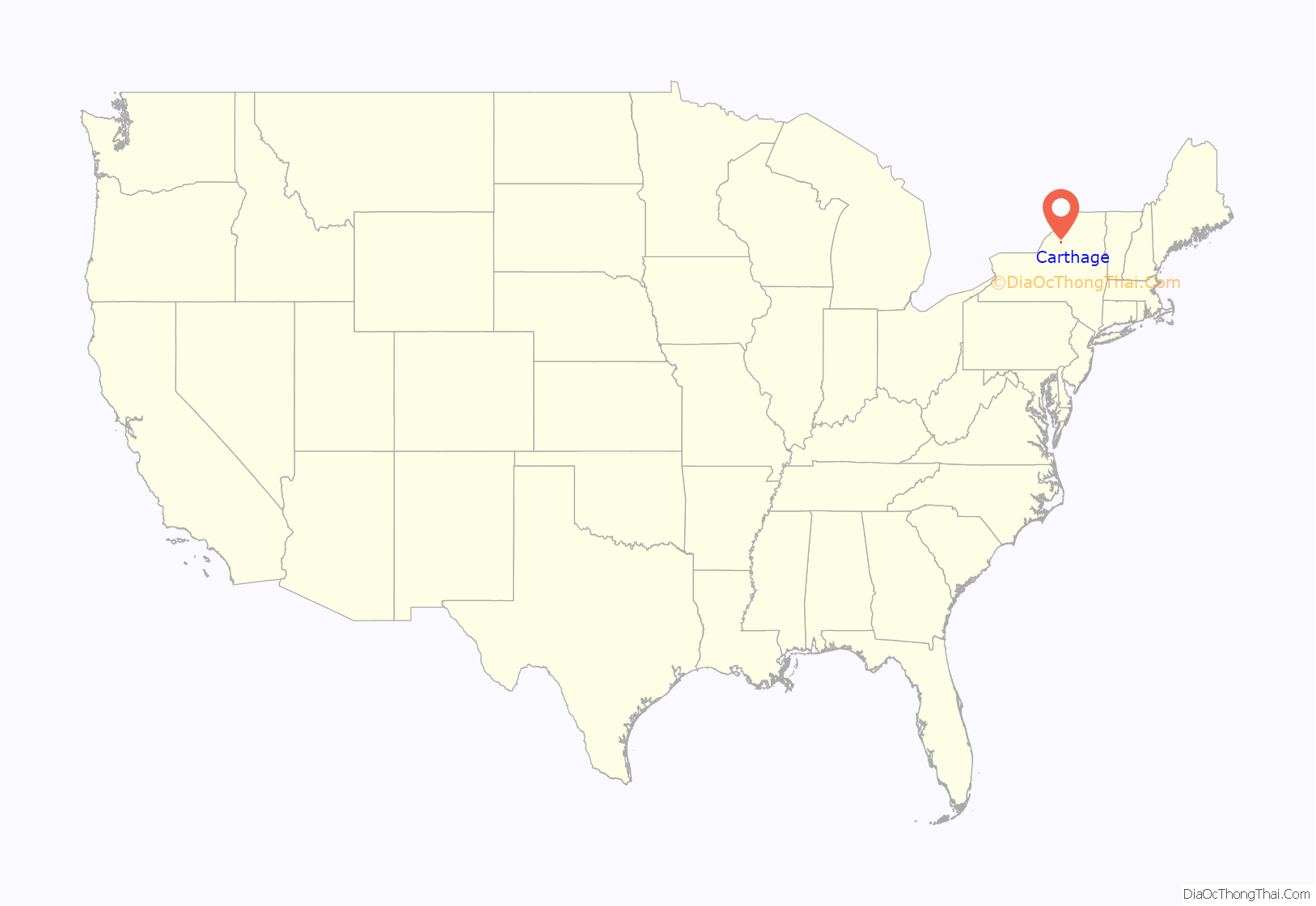
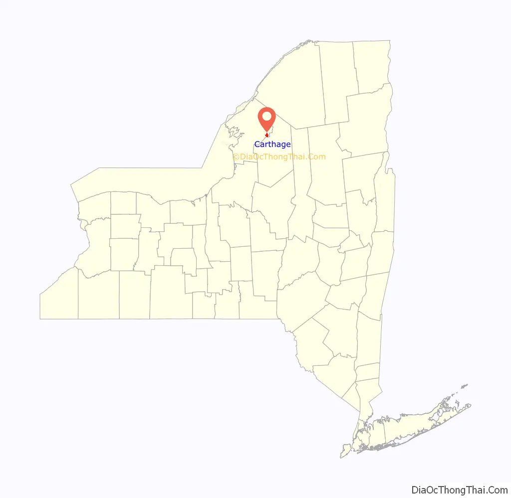
Carthage location map. Where is Carthage village?
History
The original settlement was called “Long Falls” and was settled around 1798.
The village was chartered in 1869. It is one of only twelve villages in New York still incorporated under a charter, the others having incorporated or re-incorporated under the provisions of Village Law.
In 1861, a major fire destroyed about twenty buildings in the village, and a smaller fire at the end of the year destroyed more property. A less destructive fire occurred in 1872. Another large fire in 1884 that spread across the river from West Carthage ruined more than 150 buildings. The First Baptist Church and Cook Memorial Building, State Street Historic District, and United States Post Office are listed on the National Register of Historic Places. In 2002, another fire destroyed eight buildings in the downtown area, displacing nearly 150 residents and leaving a pile of ruin.
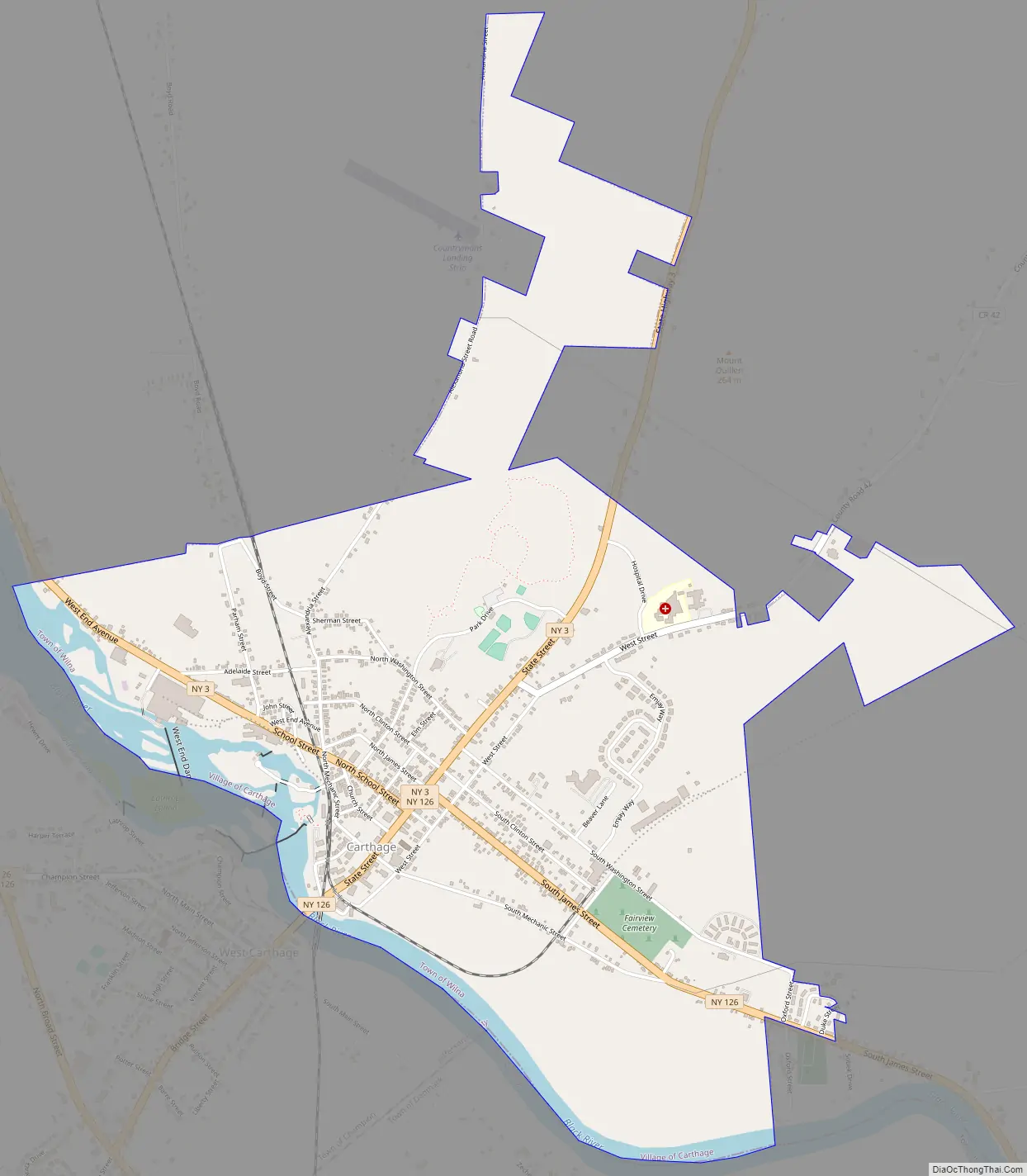
Carthage Road Map
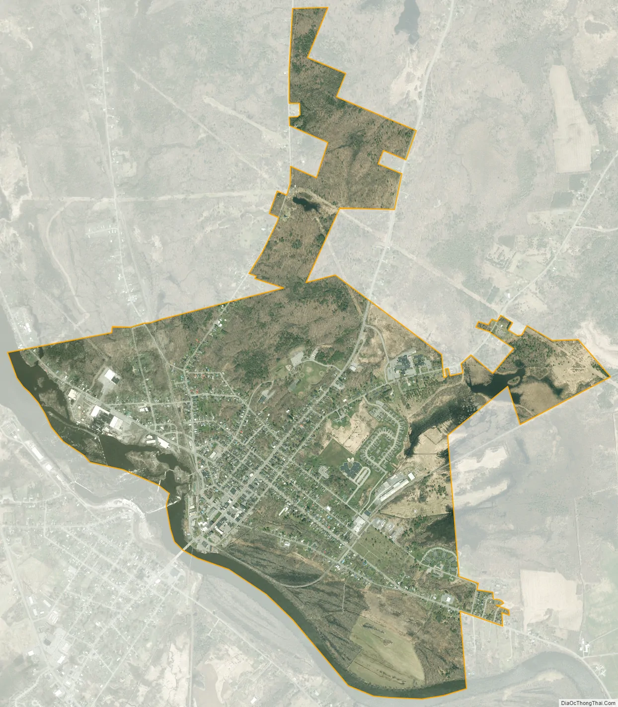
Carthage city Satellite Map
Geography
Carthage is located in eastern Jefferson County at 43°58′52″N 75°36′25″W / 43.98111°N 75.60694°W / 43.98111; -75.60694 (43.981118, -75.606849). Its southwestern border is the Black River, which is in part the border with the town of Champion and the village of West Carthage in Jefferson County, and in part the border with the town of Denmark in Lewis County. The village is 2 miles (3 km) south of the southern border of Fort Drum.
According to the United States Census Bureau, the village has a total area of 2.7 square miles (6.9 km), of which 2.5 square miles (6.5 km) are land and 0.2 square miles (0.4 km), or 6.35%, are water.
The village is located at the junction of New York State Routes 3 and 126. NY-3 leads west 18 miles (29 km) to Watertown, following the Black River, and northeast 20 miles (32 km) to Harrisville. NY-126 leads west by a more direct route 16 miles (26 km) to Watertown and southeast 14 miles (23 km) to Croghan.
See also
Map of New York State and its subdivision:- Albany
- Allegany
- Bronx
- Broome
- Cattaraugus
- Cayuga
- Chautauqua
- Chemung
- Chenango
- Clinton
- Columbia
- Cortland
- Delaware
- Dutchess
- Erie
- Essex
- Franklin
- Fulton
- Genesee
- Greene
- Hamilton
- Herkimer
- Jefferson
- Kings
- Lake Ontario
- Lewis
- Livingston
- Madison
- Monroe
- Montgomery
- Nassau
- New York
- Niagara
- Oneida
- Onondaga
- Ontario
- Orange
- Orleans
- Oswego
- Otsego
- Putnam
- Queens
- Rensselaer
- Richmond
- Rockland
- Saint Lawrence
- Saratoga
- Schenectady
- Schoharie
- Schuyler
- Seneca
- Steuben
- Suffolk
- Sullivan
- Tioga
- Tompkins
- Ulster
- Warren
- Washington
- Wayne
- Westchester
- Wyoming
- Yates
- Alabama
- Alaska
- Arizona
- Arkansas
- California
- Colorado
- Connecticut
- Delaware
- District of Columbia
- Florida
- Georgia
- Hawaii
- Idaho
- Illinois
- Indiana
- Iowa
- Kansas
- Kentucky
- Louisiana
- Maine
- Maryland
- Massachusetts
- Michigan
- Minnesota
- Mississippi
- Missouri
- Montana
- Nebraska
- Nevada
- New Hampshire
- New Jersey
- New Mexico
- New York
- North Carolina
- North Dakota
- Ohio
- Oklahoma
- Oregon
- Pennsylvania
- Rhode Island
- South Carolina
- South Dakota
- Tennessee
- Texas
- Utah
- Vermont
- Virginia
- Washington
- West Virginia
- Wisconsin
- Wyoming


