Chateaugay (French: Châteaugay) is a village in Franklin County, New York, United States. The population was 833 at the 2010 census. The village is located in the town of Chateaugay, northeast of Malone. The village and town are named after a village near Lyon in France, which became the name of a land grant in Canada.
| Name: | Chateaugay village |
|---|---|
| LSAD Code: | 47 |
| LSAD Description: | village (suffix) |
| State: | New York |
| County: | Franklin County |
| Elevation: | 945 ft (288 m) |
| Total Area: | 1.08 sq mi (2.81 km²) |
| Land Area: | 1.08 sq mi (2.81 km²) |
| Water Area: | 0.00 sq mi (0.00 km²) |
| Total Population: | 735 |
| Population Density: | 678.67/sq mi (261.95/km²) |
| ZIP code: | 12920 |
| Area code: | 518 |
| FIPS code: | 3613981 |
| GNISfeature ID: | 0946443 |
Online Interactive Map
Click on ![]() to view map in "full screen" mode.
to view map in "full screen" mode.
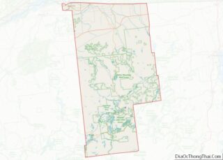
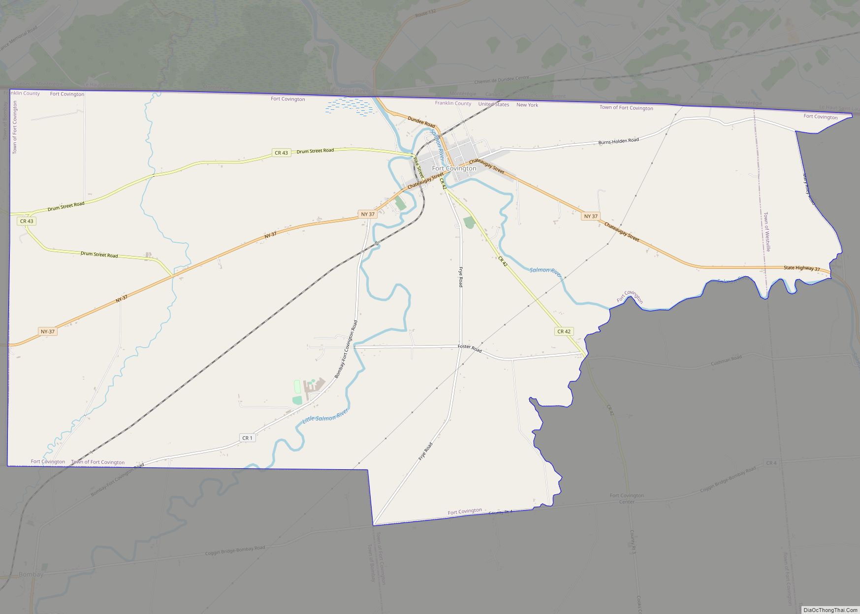
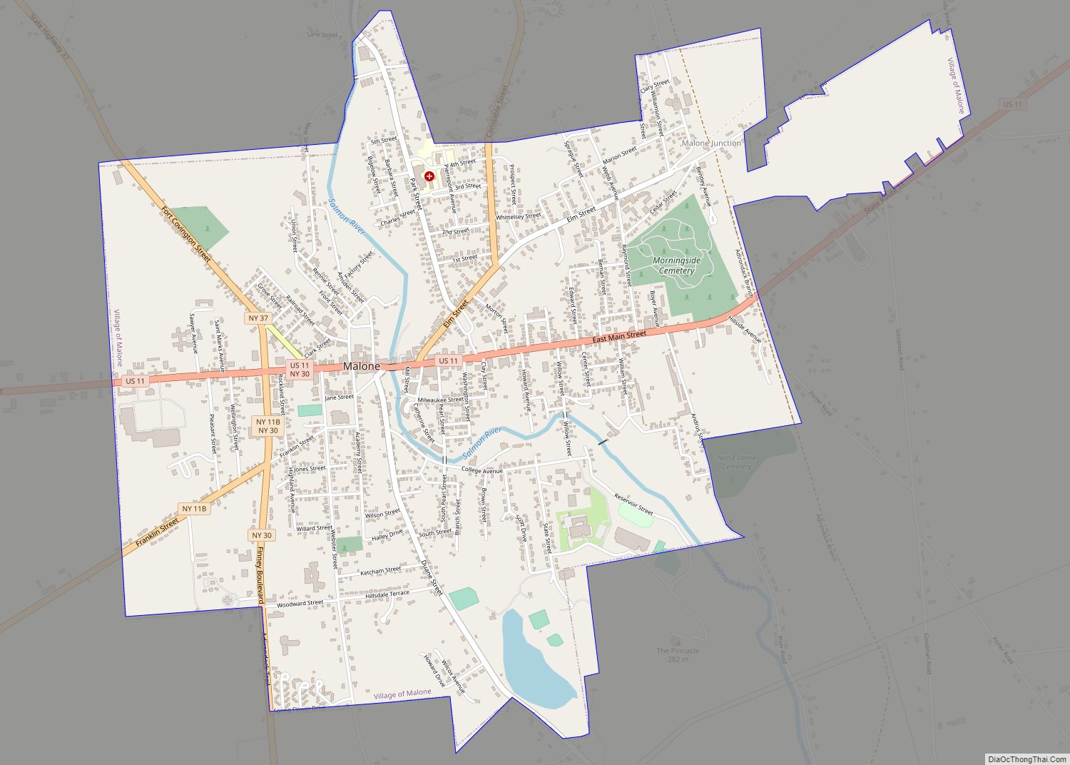
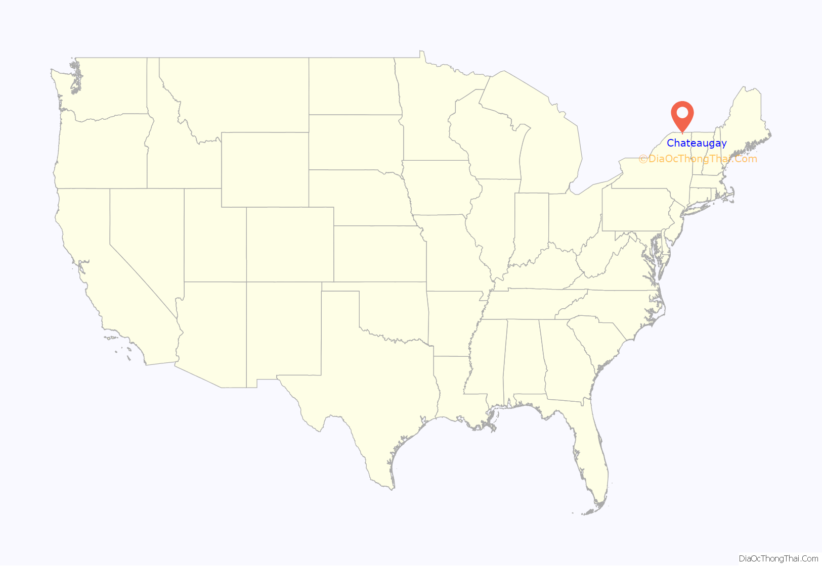
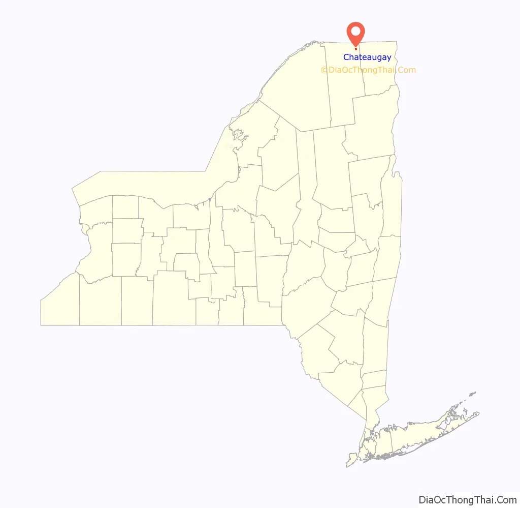
Chateaugay location map. Where is Chateaugay village?
History
The village of Chateaugay was incorporated in 1868. It has persisted in spite of three major devastations by fire in its history.
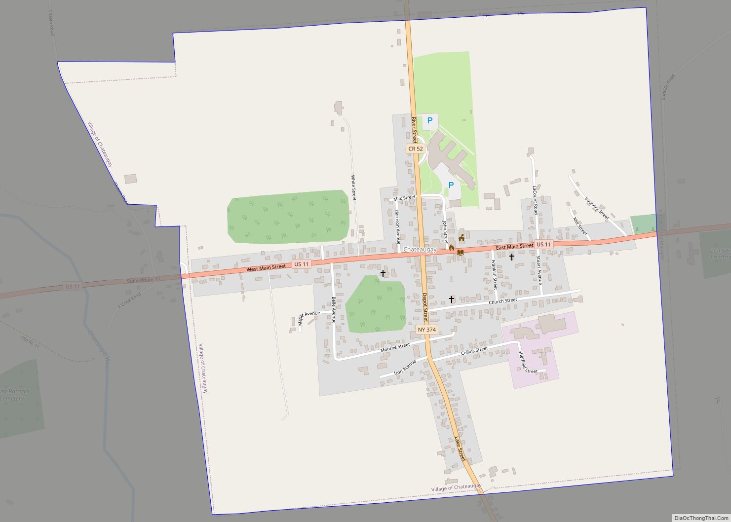
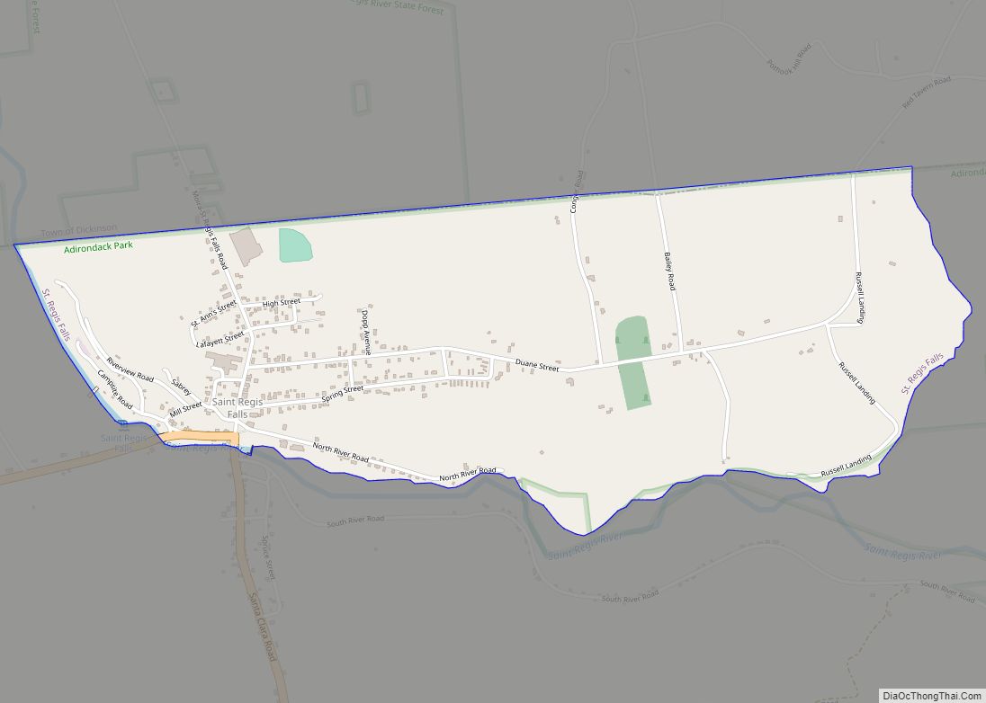
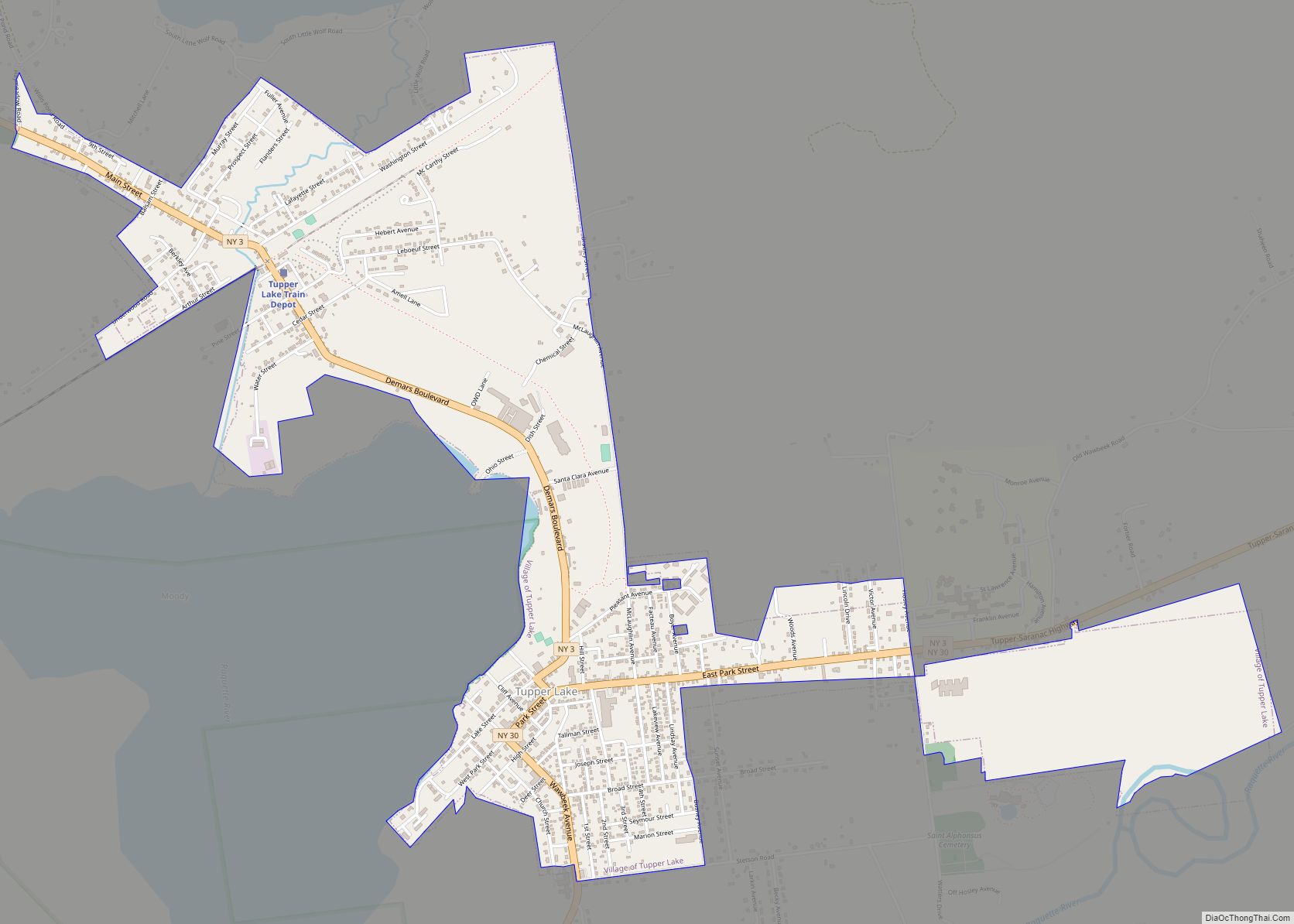
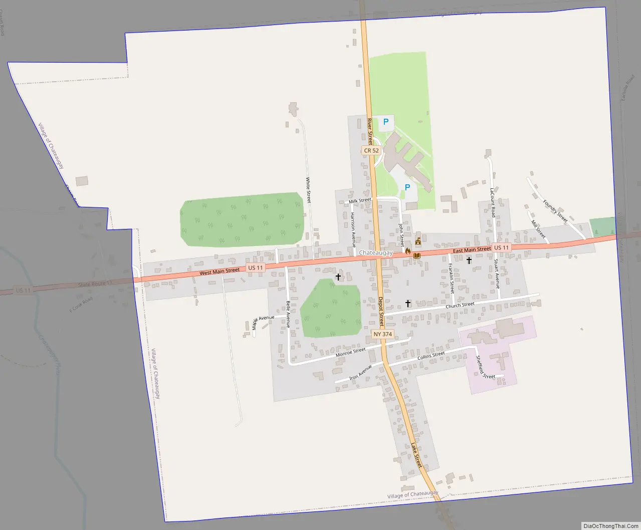
Chateaugay Road Map
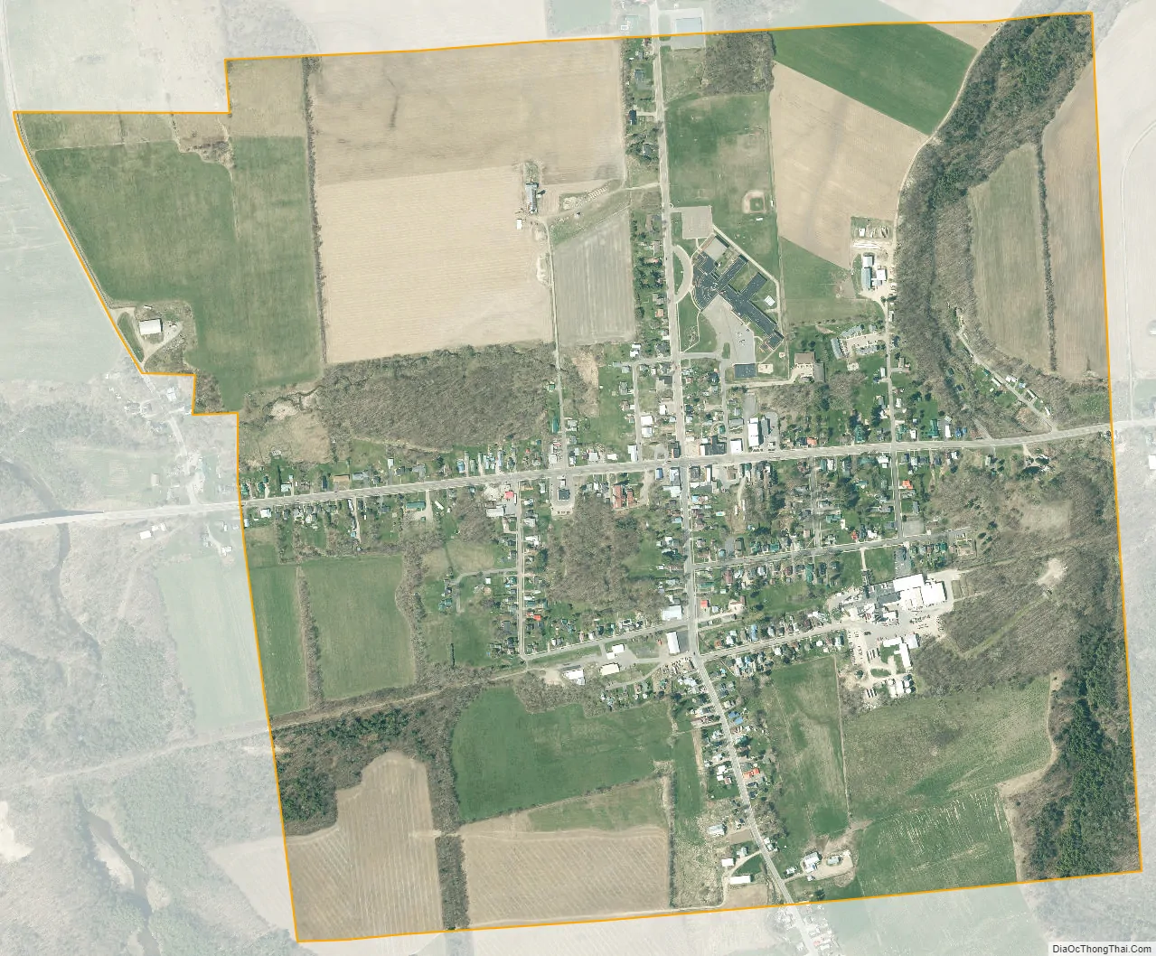
Chateaugay city Satellite Map
Geography
Chateaugay village is located in the center of the town of Chateaugay at 44°55′32″N 74°4′41″W / 44.92556°N 74.07806°W / 44.92556; -74.07806 (44.925706, -74.078218), near the northeastern corner of Franklin County.
According to the United States Census Bureau, the village has a total area of 1.1 square miles (2.8 km), all land.
Bailey Brook flows north through the village, turning west to join the Chateaugay River.
U.S. Route 11 intersects New York State Route 374 in the village. US-11 leads southwest 13 miles (21 km) to Malone and east 33 miles (53 km) to Interstate 87 at Champlain. NY-374 leads north 4.5 miles (7.2 km) to the Canada–US border.
See also
Map of New York State and its subdivision:- Albany
- Allegany
- Bronx
- Broome
- Cattaraugus
- Cayuga
- Chautauqua
- Chemung
- Chenango
- Clinton
- Columbia
- Cortland
- Delaware
- Dutchess
- Erie
- Essex
- Franklin
- Fulton
- Genesee
- Greene
- Hamilton
- Herkimer
- Jefferson
- Kings
- Lake Ontario
- Lewis
- Livingston
- Madison
- Monroe
- Montgomery
- Nassau
- New York
- Niagara
- Oneida
- Onondaga
- Ontario
- Orange
- Orleans
- Oswego
- Otsego
- Putnam
- Queens
- Rensselaer
- Richmond
- Rockland
- Saint Lawrence
- Saratoga
- Schenectady
- Schoharie
- Schuyler
- Seneca
- Steuben
- Suffolk
- Sullivan
- Tioga
- Tompkins
- Ulster
- Warren
- Washington
- Wayne
- Westchester
- Wyoming
- Yates
- Alabama
- Alaska
- Arizona
- Arkansas
- California
- Colorado
- Connecticut
- Delaware
- District of Columbia
- Florida
- Georgia
- Hawaii
- Idaho
- Illinois
- Indiana
- Iowa
- Kansas
- Kentucky
- Louisiana
- Maine
- Maryland
- Massachusetts
- Michigan
- Minnesota
- Mississippi
- Missouri
- Montana
- Nebraska
- Nevada
- New Hampshire
- New Jersey
- New Mexico
- New York
- North Carolina
- North Dakota
- Ohio
- Oklahoma
- Oregon
- Pennsylvania
- Rhode Island
- South Carolina
- South Dakota
- Tennessee
- Texas
- Utah
- Vermont
- Virginia
- Washington
- West Virginia
- Wisconsin
- Wyoming