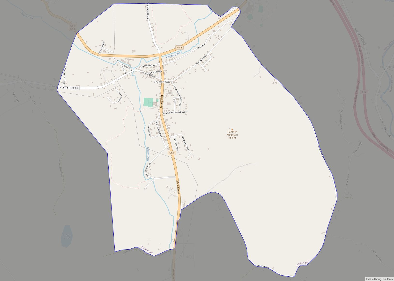
Chestertown is a hamlet of the Town of Chester, in Warren County, New York, United States. It is located by the junction of Route 8 and U.S. Route 9, in the Adirondack Mountains. The population was 677 at the 2010 census, which lists the community as a census-designated place.
| Name: | Chestertown CDP |
|---|---|
| LSAD Code: | 57 |
| LSAD Description: | CDP (suffix) |
| State: | New York |
| County: | Warren County |
| Elevation: | 843 ft (257 m) |
| Total Area: | 3.86 sq mi (9.99 km²) |
| Land Area: | 3.84 sq mi (9.95 km²) |
| Water Area: | 0.01 sq mi (0.03 km²) |
| Total Population: | 586 |
| Population Density: | 152.49/sq mi (58.88/km²) |
| ZIP code: | 12817 |
| Area code: | 518 |
| FIPS code: | 3615363 |
| GNISfeature ID: | 946543 |
| Website: | www.townofchesterny.org |
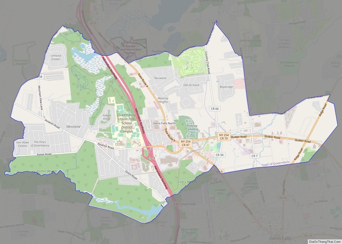
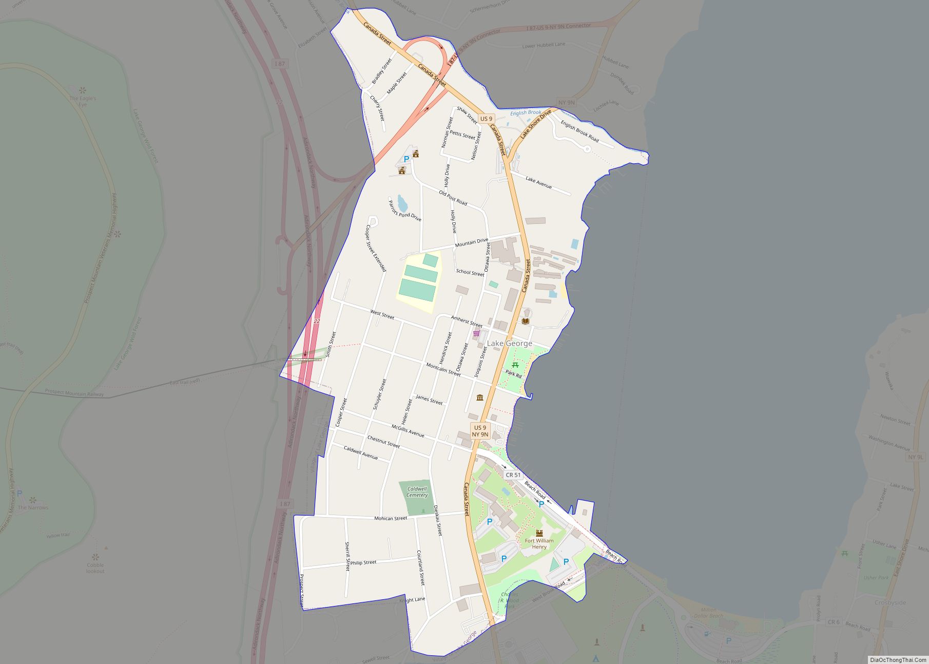
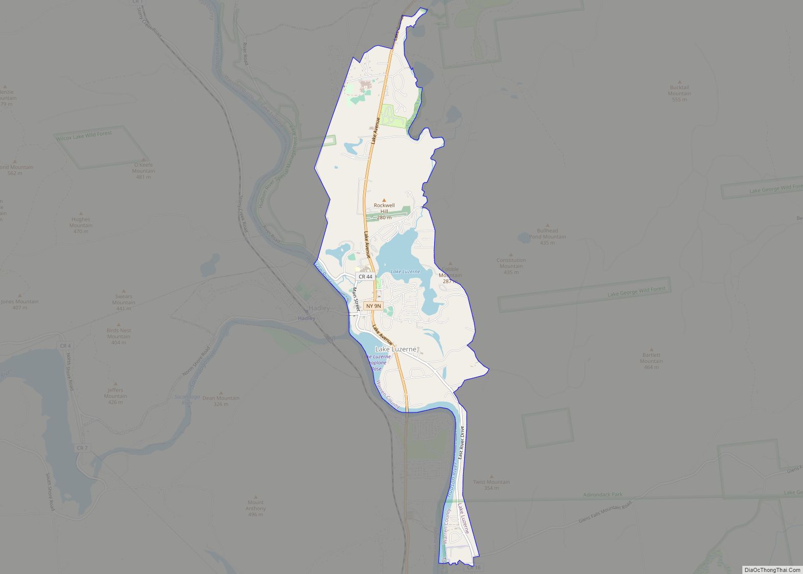
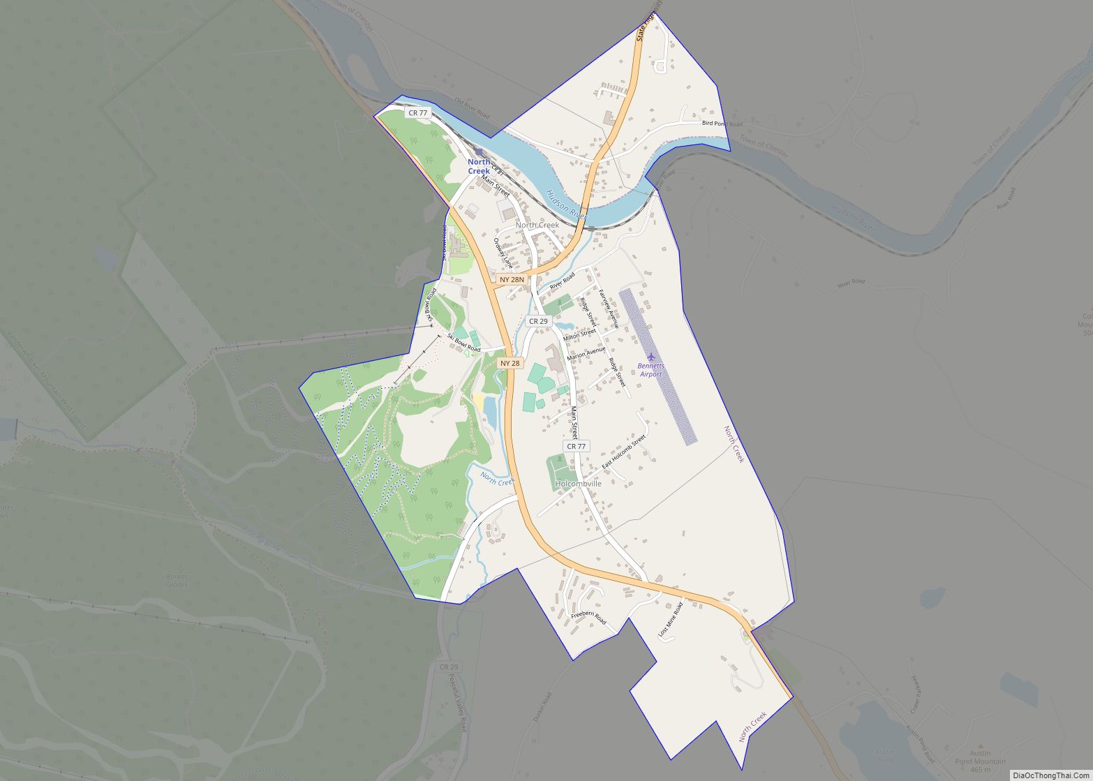
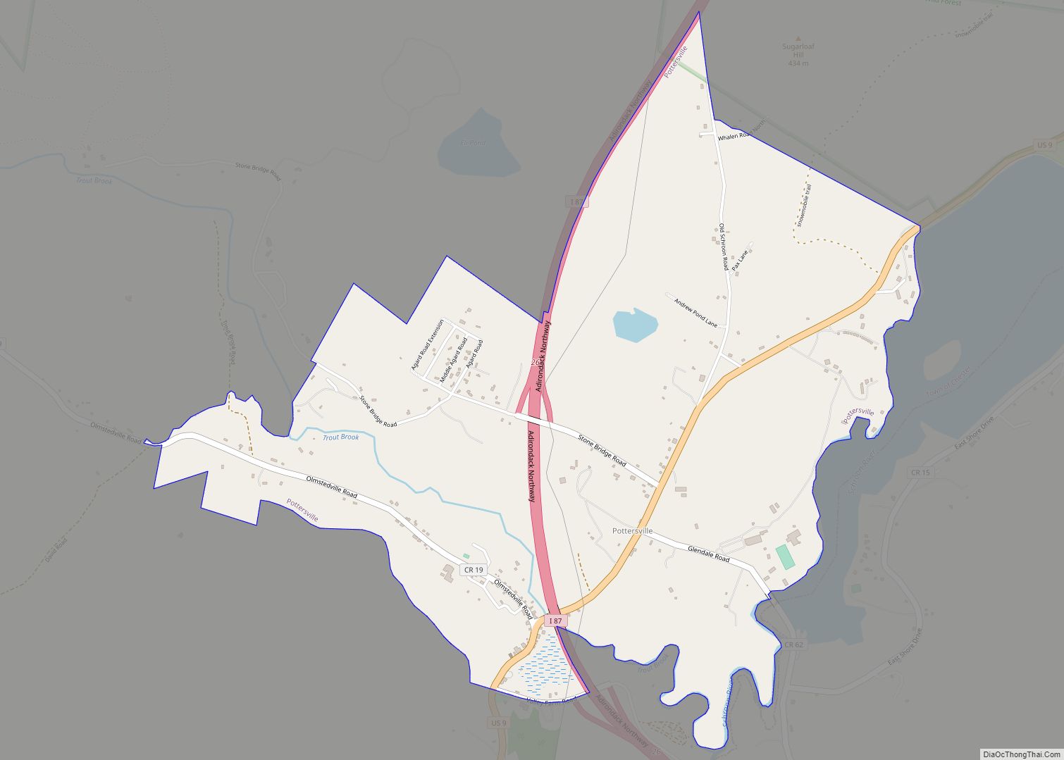
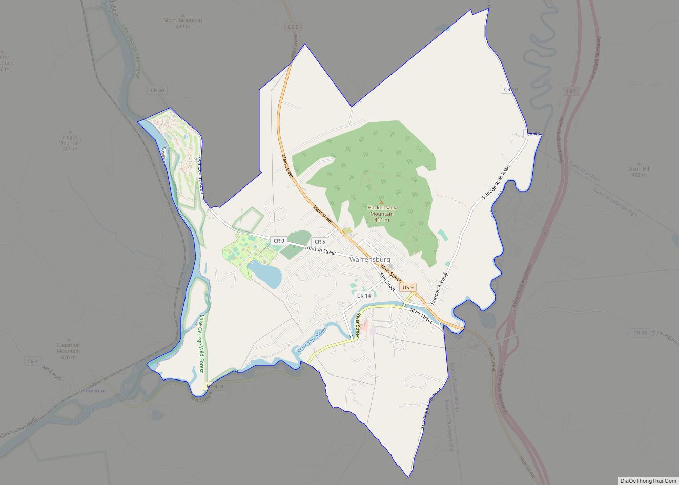
Online Interactive Map
Click on ![]() to view map in "full screen" mode.
to view map in "full screen" mode.
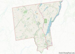
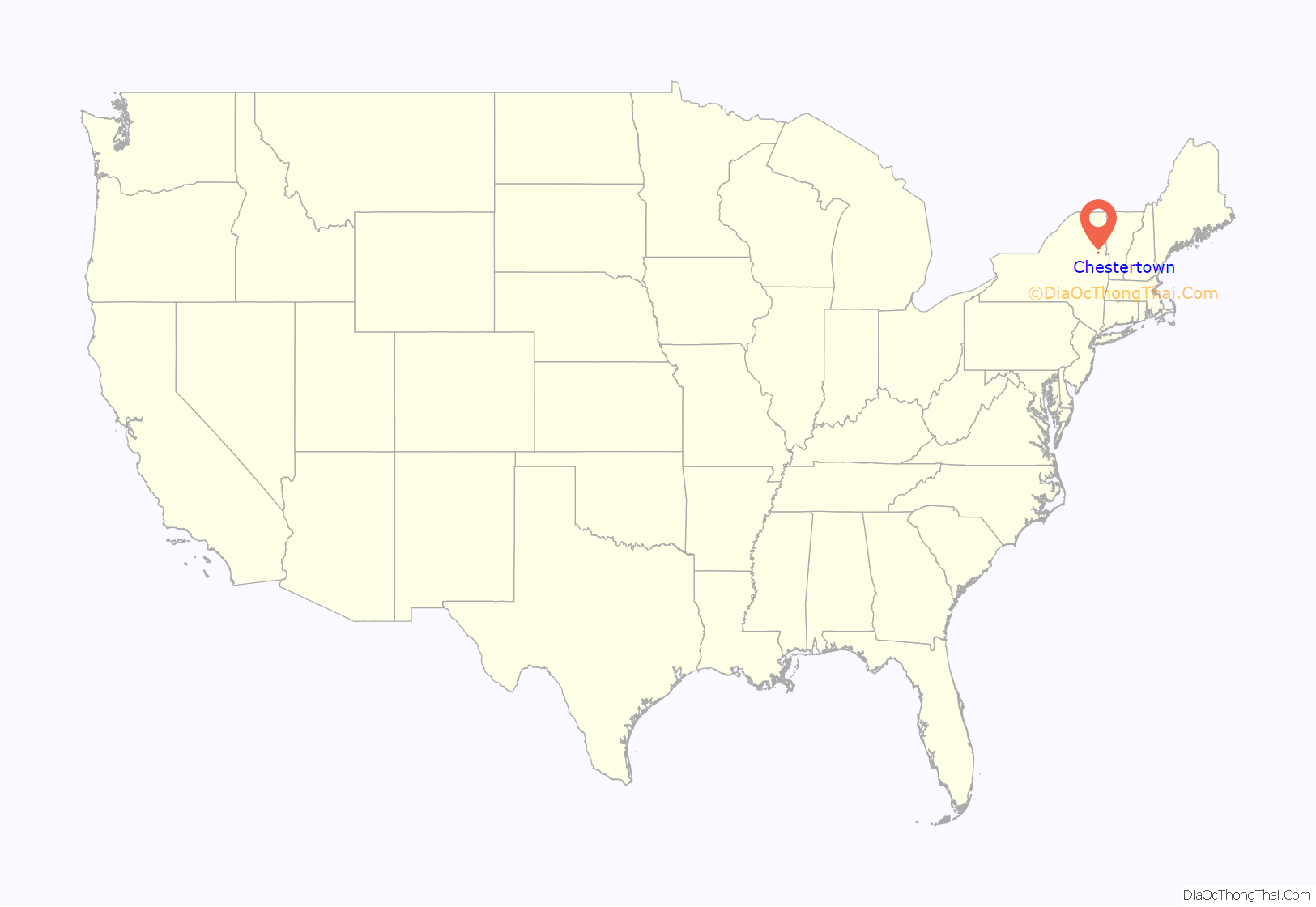
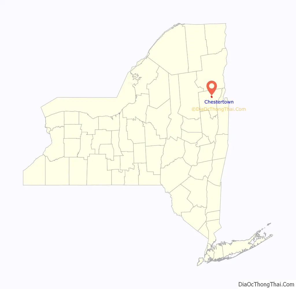
Chestertown location map. Where is Chestertown CDP?
History
The community was founded in 1799 by New Englanders who built mills along its creeks. The first settlement was established around 1790 and was called Chester Four Corners.
The Chestertown Historic District was added to the National Register of Historic Places in 1977.
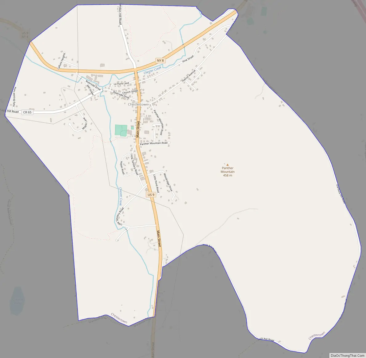
Chestertown Road Map
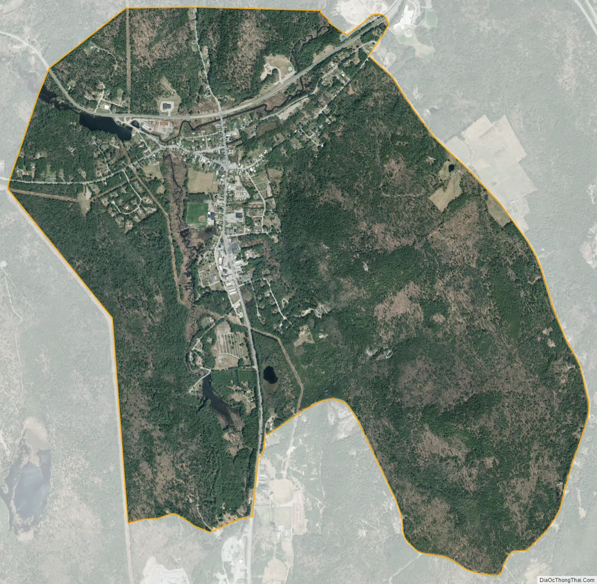
Chestertown city Satellite Map
Geography
Chestertown is located at 43°39′09″N 073°48′03″W / 43.65250°N 73.80083°W / 43.65250; -73.80083 (43.6525664, -73.8009597) and its elevation is 896 feet (273 m). The ZIP code is 12817 and it is in the Eastern Time Zone. The nearest city is Glens Falls.
According to the 2010 United States Census, Chestertown has a total area of 3.856 square miles (9.99 km), of which 3.843 square miles (9.95 km) is land and 0.013 square miles (0.03 km) is water.
See also
Map of New York State and its subdivision:- Albany
- Allegany
- Bronx
- Broome
- Cattaraugus
- Cayuga
- Chautauqua
- Chemung
- Chenango
- Clinton
- Columbia
- Cortland
- Delaware
- Dutchess
- Erie
- Essex
- Franklin
- Fulton
- Genesee
- Greene
- Hamilton
- Herkimer
- Jefferson
- Kings
- Lake Ontario
- Lewis
- Livingston
- Madison
- Monroe
- Montgomery
- Nassau
- New York
- Niagara
- Oneida
- Onondaga
- Ontario
- Orange
- Orleans
- Oswego
- Otsego
- Putnam
- Queens
- Rensselaer
- Richmond
- Rockland
- Saint Lawrence
- Saratoga
- Schenectady
- Schoharie
- Schuyler
- Seneca
- Steuben
- Suffolk
- Sullivan
- Tioga
- Tompkins
- Ulster
- Warren
- Washington
- Wayne
- Westchester
- Wyoming
- Yates
- Alabama
- Alaska
- Arizona
- Arkansas
- California
- Colorado
- Connecticut
- Delaware
- District of Columbia
- Florida
- Georgia
- Hawaii
- Idaho
- Illinois
- Indiana
- Iowa
- Kansas
- Kentucky
- Louisiana
- Maine
- Maryland
- Massachusetts
- Michigan
- Minnesota
- Mississippi
- Missouri
- Montana
- Nebraska
- Nevada
- New Hampshire
- New Jersey
- New Mexico
- New York
- North Carolina
- North Dakota
- Ohio
- Oklahoma
- Oregon
- Pennsylvania
- Rhode Island
- South Carolina
- South Dakota
- Tennessee
- Texas
- Utah
- Vermont
- Virginia
- Washington
- West Virginia
- Wisconsin
- Wyoming