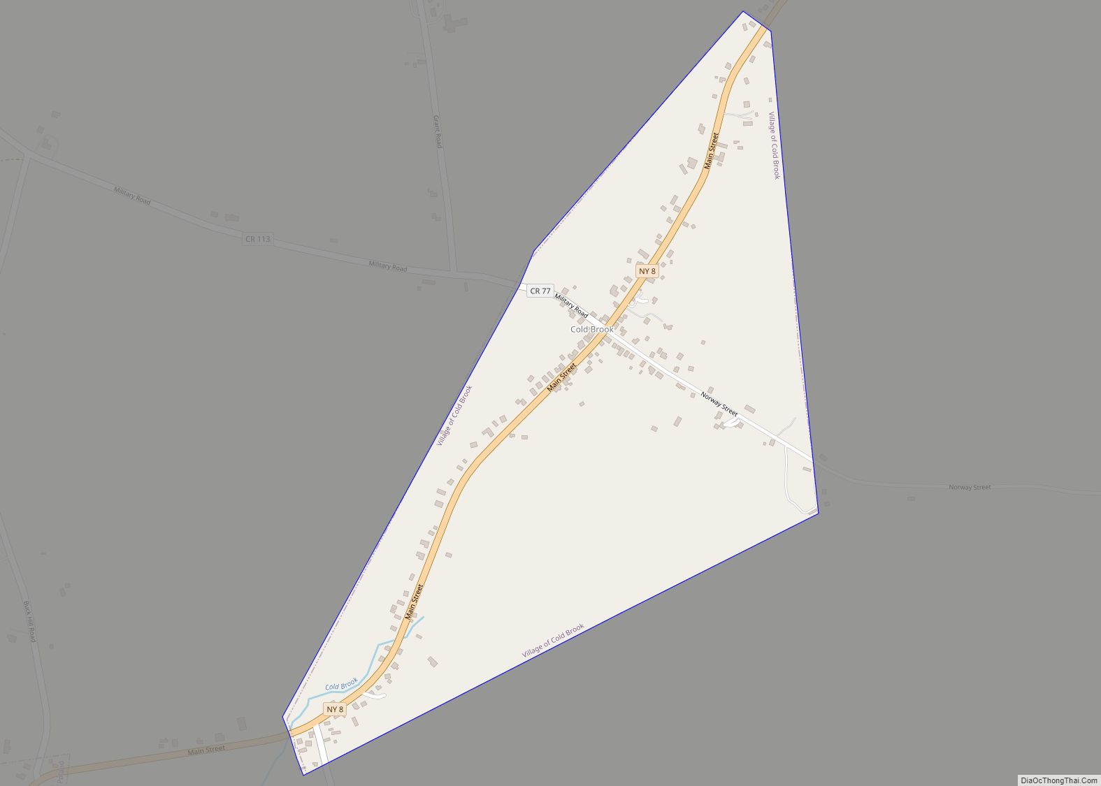
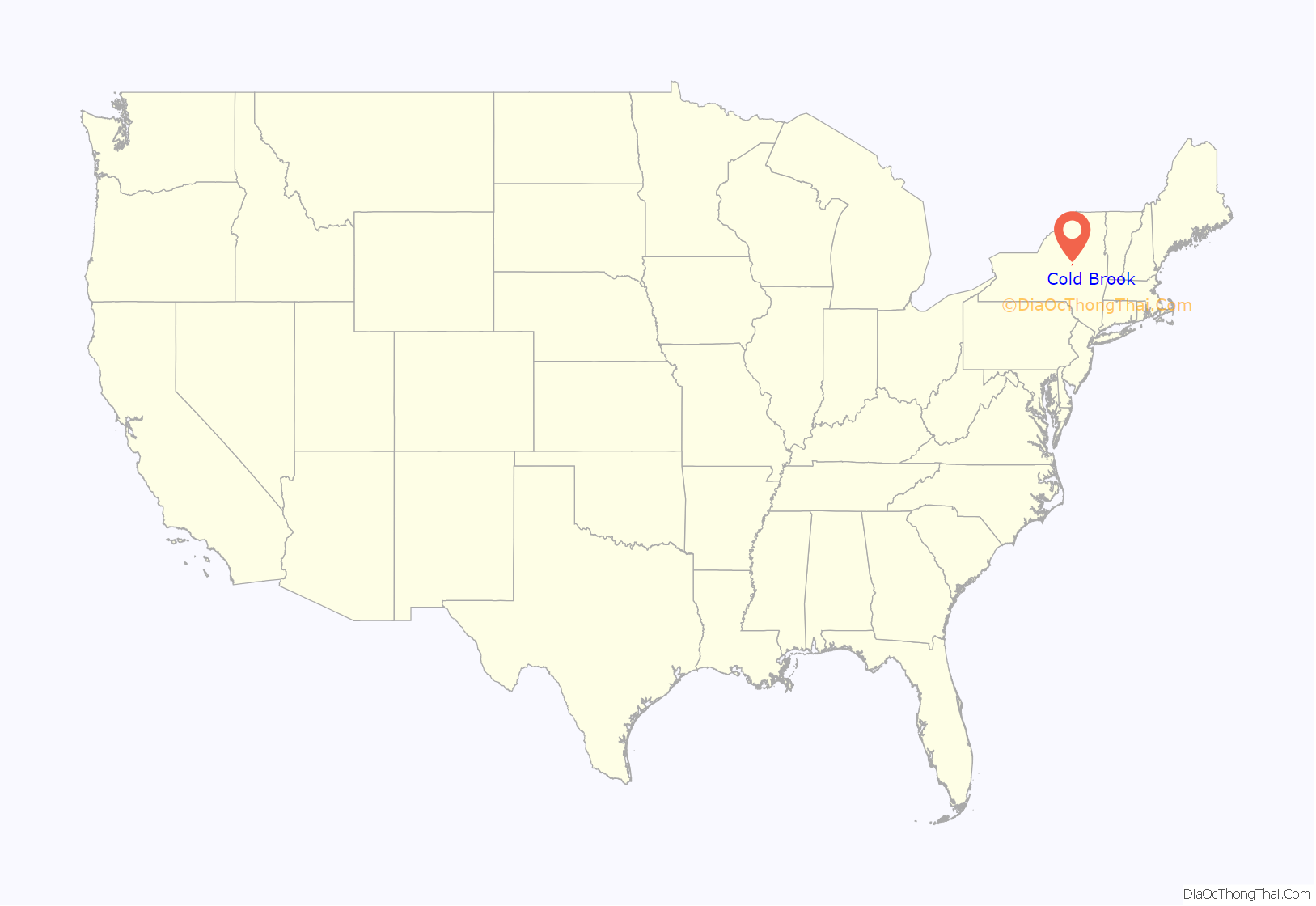
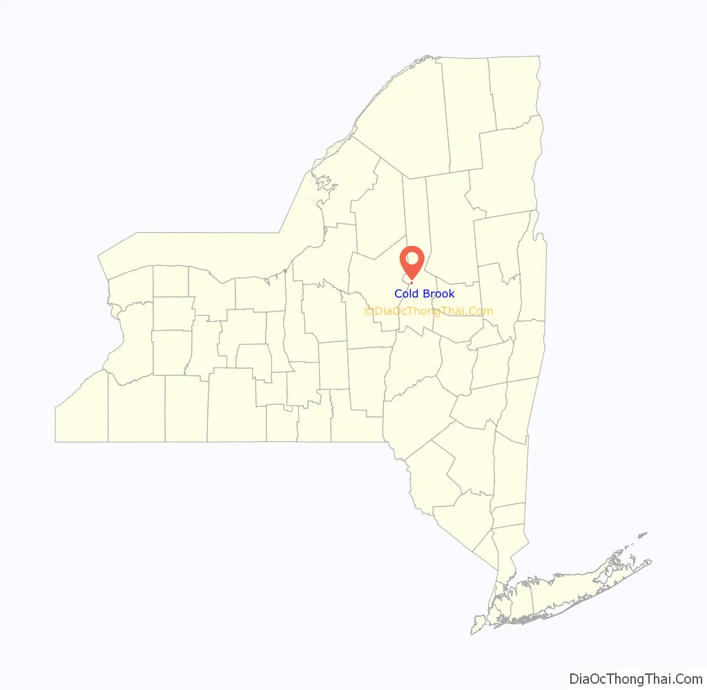
Cold Brook is a village in Herkimer County, New York. The population was 329 at the time of the 2010 census. It is named after a stream passing through the village. The village is located in the south part of the town of Russia and is northeast of Utica.
| Name: | Cold Brook village |
|---|---|
| LSAD Code: | 47 |
| LSAD Description: | village (suffix) |
| State: | New York |
| County: | Herkimer County |
| Elevation: | 945 ft (288 m) |
| Total Area: | 0.44 sq mi (1.14 km²) |
| Land Area: | 0.44 sq mi (1.14 km²) |
| Water Area: | 0.00 sq mi (0.00 km²) |
| Total Population: | 250 |
| Population Density: | 569.48/sq mi (219.78/km²) |
| ZIP code: | 13324 |
| Area code: | 315 |
| FIPS code: | 3616815 |
| GNISfeature ID: | 0947025 |
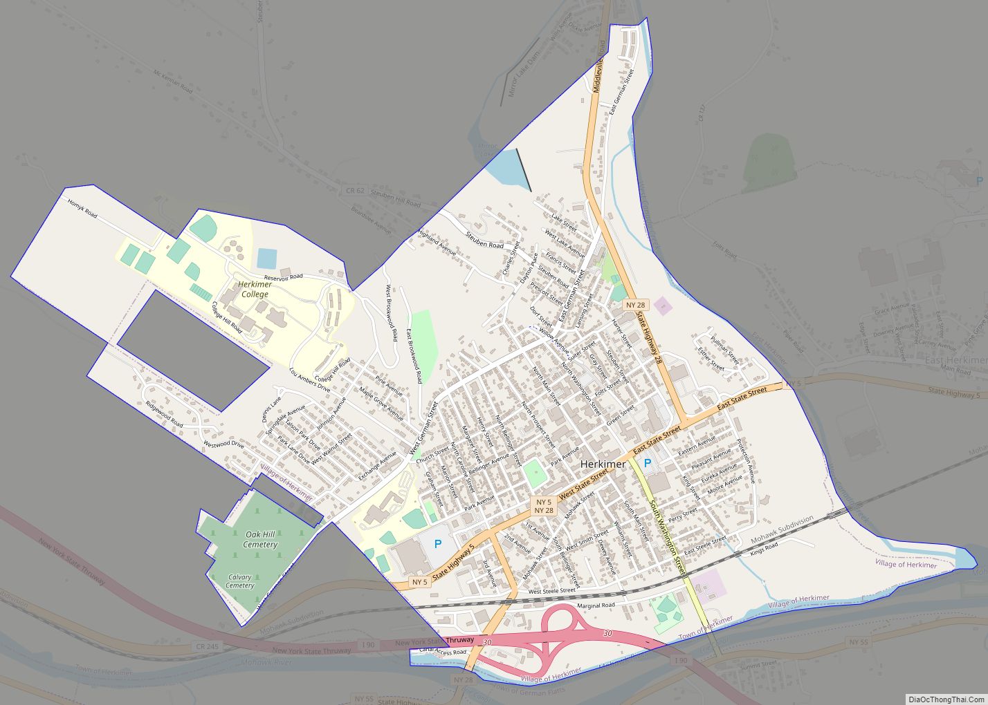
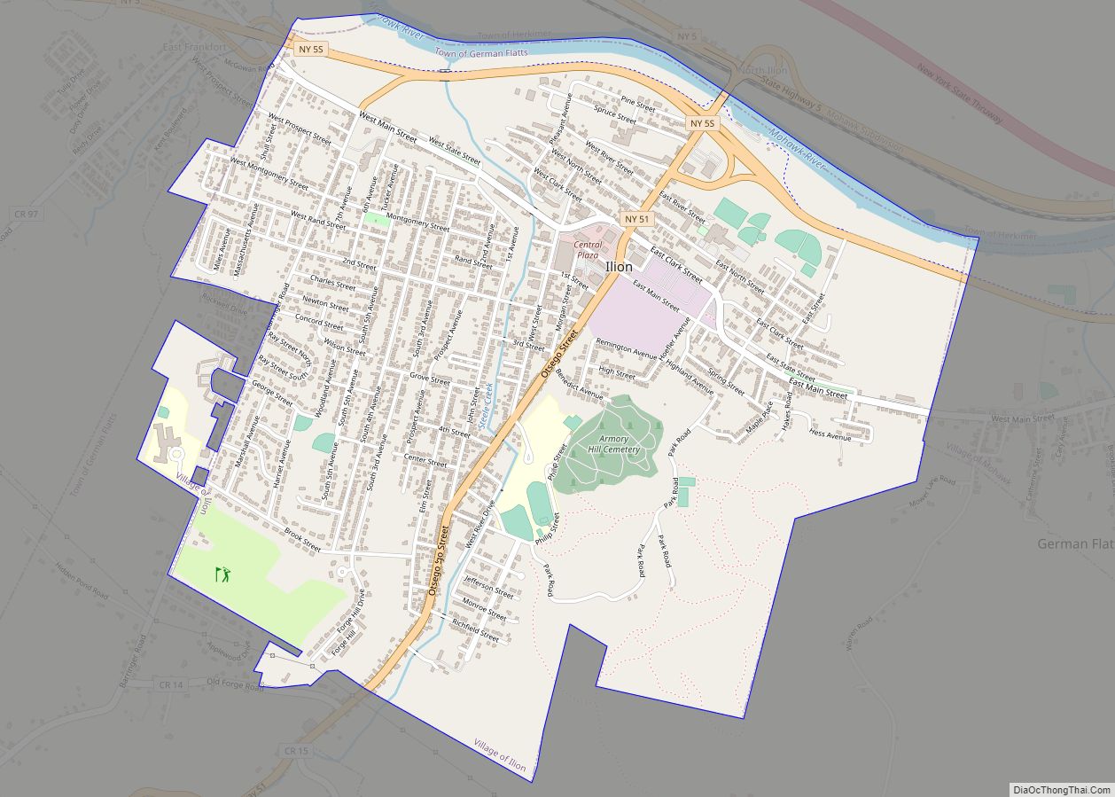
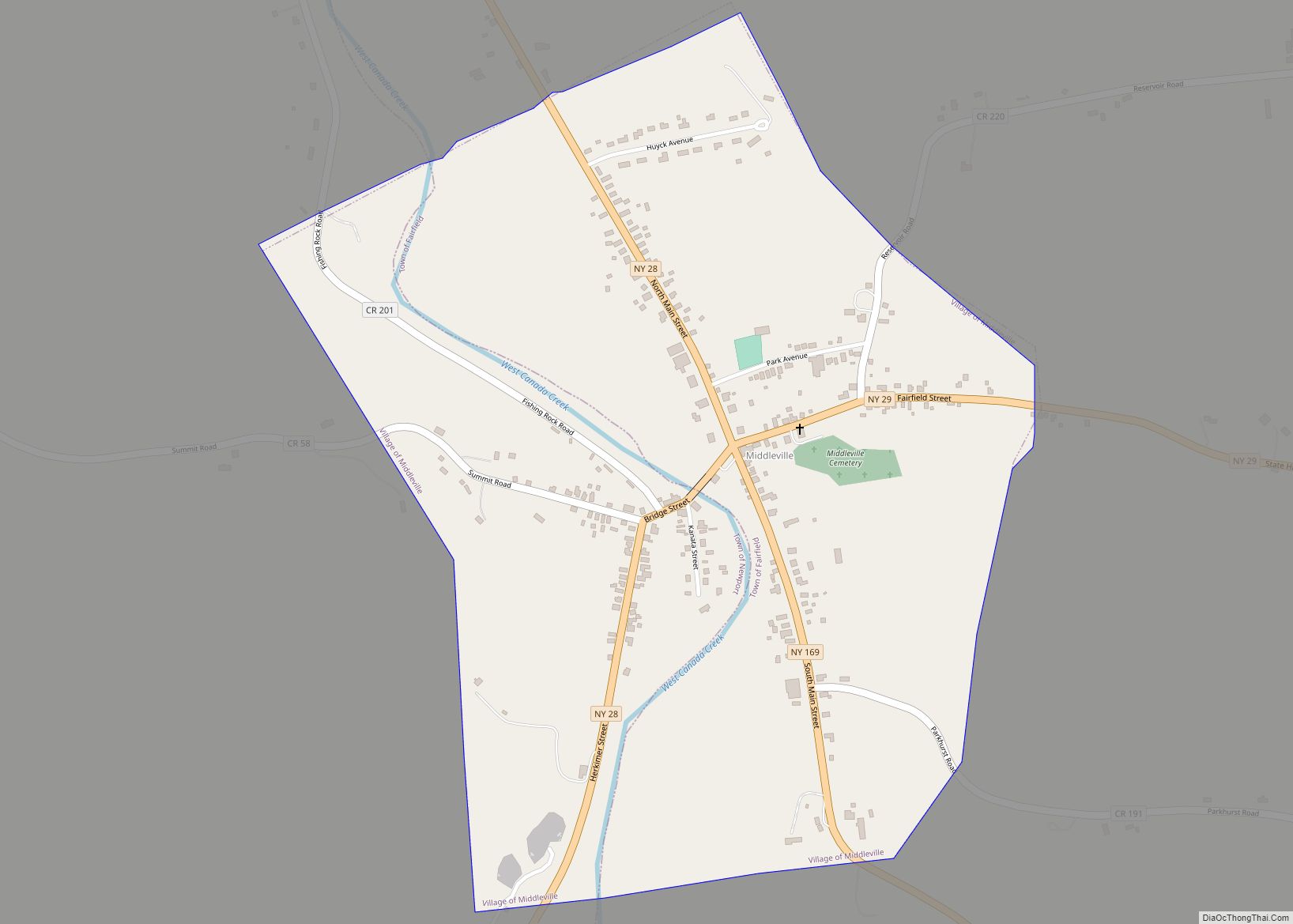
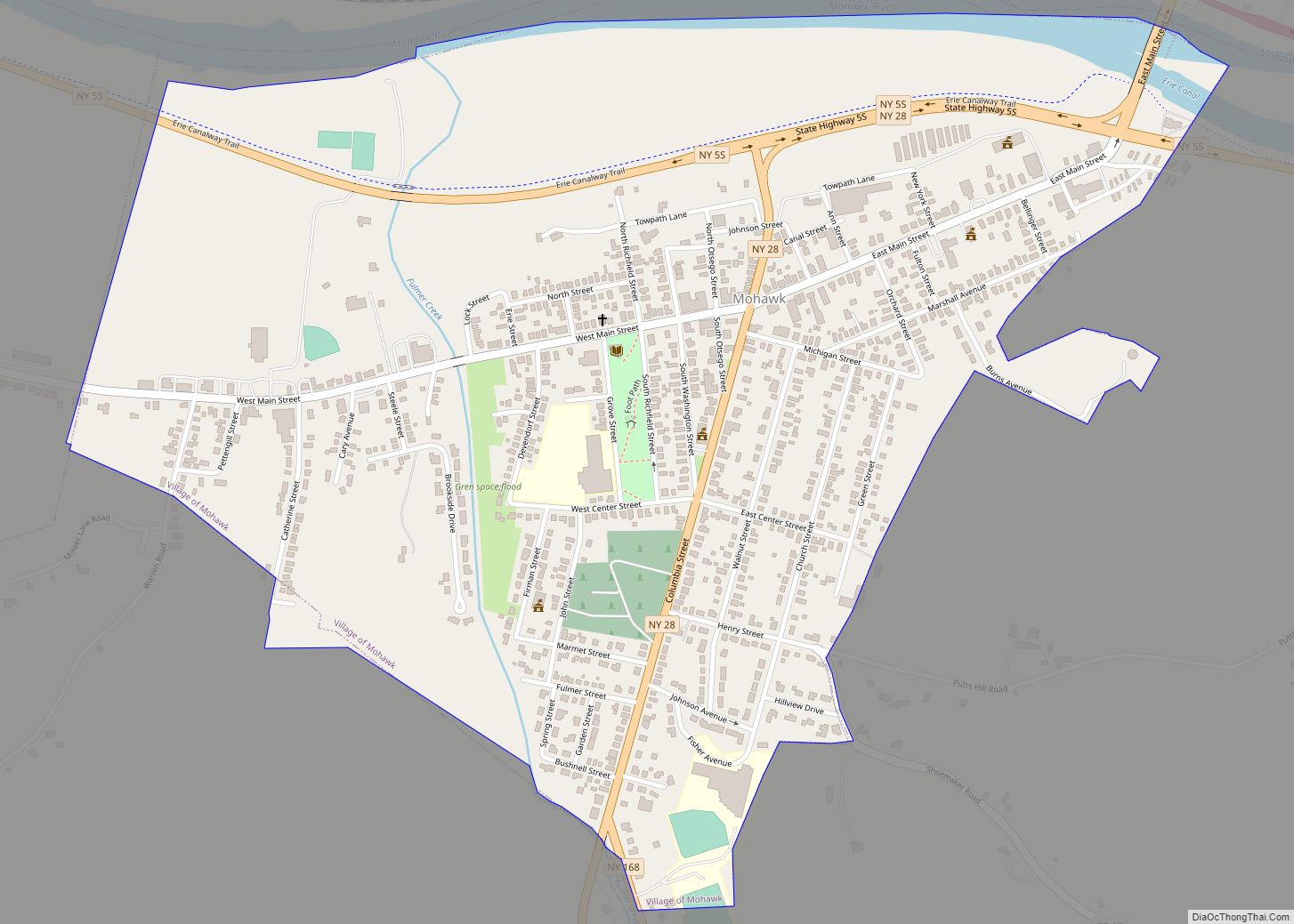
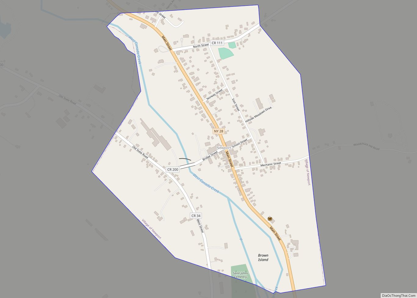
Online Interactive Map
Click on ![]() to view map in "full screen" mode.
to view map in "full screen" mode.
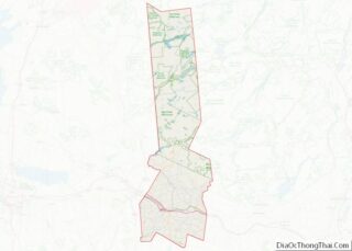
Cold Brook location map. Where is Cold Brook village?
History
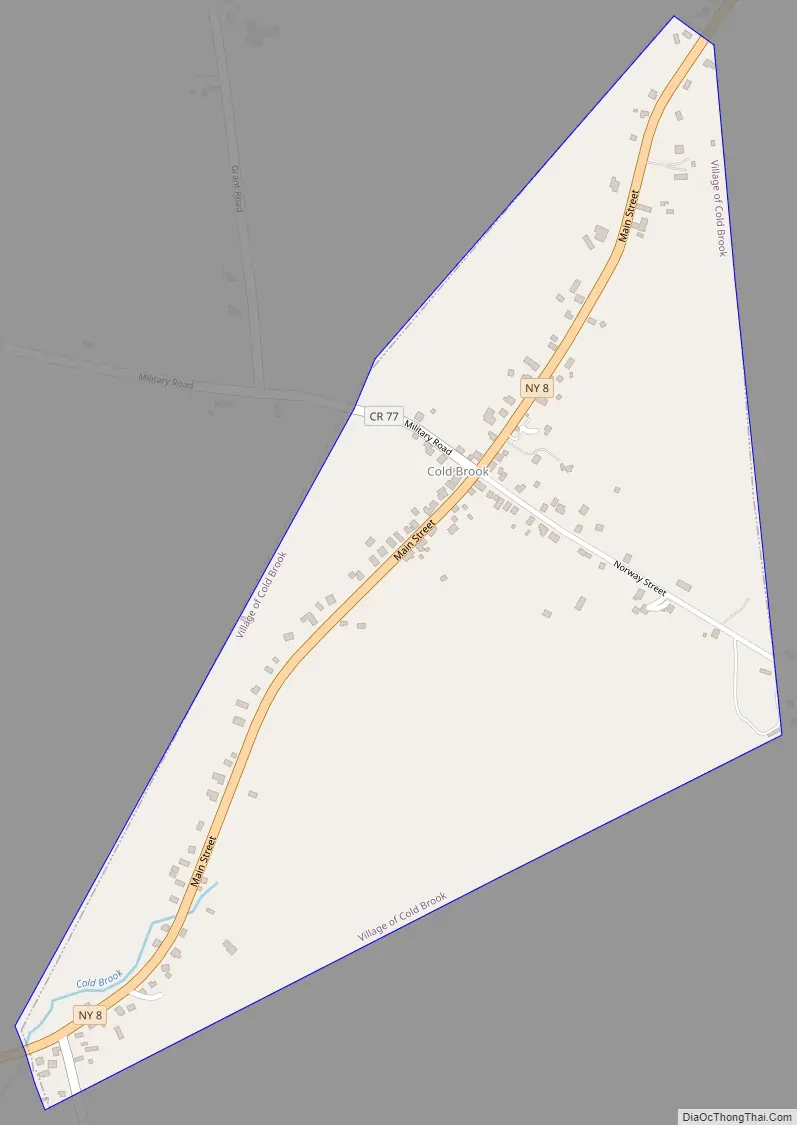
The water power of Cold Brook encouraged settlers, who arrived after 1800. The 1857 Cold Brook Feed Mill was listed on the National Register of Historic Places in 1974.
Cold Brook Road Map
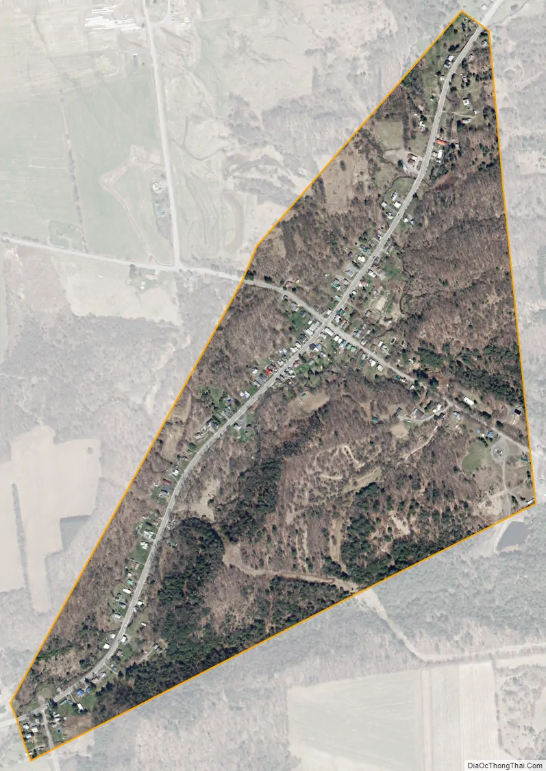
Cold Brook city Satellite Map
Geography
Cold Brook is located at 43°14′27″N 75°2′21″W / 43.24083°N 75.03917°W / 43.24083; -75.03917 (43.240968, -75.039221). According to the United States Census Bureau, the village has a total area of 0.44 square miles (1.14 km), all land. The village is on sloping terrain with occasionally steep roadways.
The main street of Cold Brook is New York State Route 8, which leads northeast 46 miles (74 km) to Speculator in the Adirondacks and southwest 1.5 miles (2.4 km) to Poland. Utica is 16 miles (26 km) to the southeast via NY-8.
See also
Map of New York State and its subdivision:- Albany
- Allegany
- Bronx
- Broome
- Cattaraugus
- Cayuga
- Chautauqua
- Chemung
- Chenango
- Clinton
- Columbia
- Cortland
- Delaware
- Dutchess
- Erie
- Essex
- Franklin
- Fulton
- Genesee
- Greene
- Hamilton
- Herkimer
- Jefferson
- Kings
- Lake Ontario
- Lewis
- Livingston
- Madison
- Monroe
- Montgomery
- Nassau
- New York
- Niagara
- Oneida
- Onondaga
- Ontario
- Orange
- Orleans
- Oswego
- Otsego
- Putnam
- Queens
- Rensselaer
- Richmond
- Rockland
- Saint Lawrence
- Saratoga
- Schenectady
- Schoharie
- Schuyler
- Seneca
- Steuben
- Suffolk
- Sullivan
- Tioga
- Tompkins
- Ulster
- Warren
- Washington
- Wayne
- Westchester
- Wyoming
- Yates
- Alabama
- Alaska
- Arizona
- Arkansas
- California
- Colorado
- Connecticut
- Delaware
- District of Columbia
- Florida
- Georgia
- Hawaii
- Idaho
- Illinois
- Indiana
- Iowa
- Kansas
- Kentucky
- Louisiana
- Maine
- Maryland
- Massachusetts
- Michigan
- Minnesota
- Mississippi
- Missouri
- Montana
- Nebraska
- Nevada
- New Hampshire
- New Jersey
- New Mexico
- New York
- North Carolina
- North Dakota
- Ohio
- Oklahoma
- Oregon
- Pennsylvania
- Rhode Island
- South Carolina
- South Dakota
- Tennessee
- Texas
- Utah
- Vermont
- Virginia
- Washington
- West Virginia
- Wisconsin
- Wyoming