Davenport Center is a hamlet and census-designated place (CDP) in the town of Davenport, Delaware County, New York, United States. The population was 349 at the 2010 census.
| Name: | Davenport Center CDP |
|---|---|
| LSAD Code: | 57 |
| LSAD Description: | CDP (suffix) |
| State: | New York |
| County: | Delaware County |
| Elevation: | 1,221 ft (372 m) |
| Total Area: | 3.14 sq mi (8.14 km²) |
| Land Area: | 3.10 sq mi (8.04 km²) |
| Water Area: | 0.04 sq mi (0.10 km²) |
| Total Population: | 344 |
| Population Density: | 110.86/sq mi (42.80/km²) |
| ZIP code: | 13751 |
| Area code: | 845 |
| FIPS code: | 3619774 |
| GNISfeature ID: | 948049 |
Online Interactive Map
Click on ![]() to view map in "full screen" mode.
to view map in "full screen" mode.
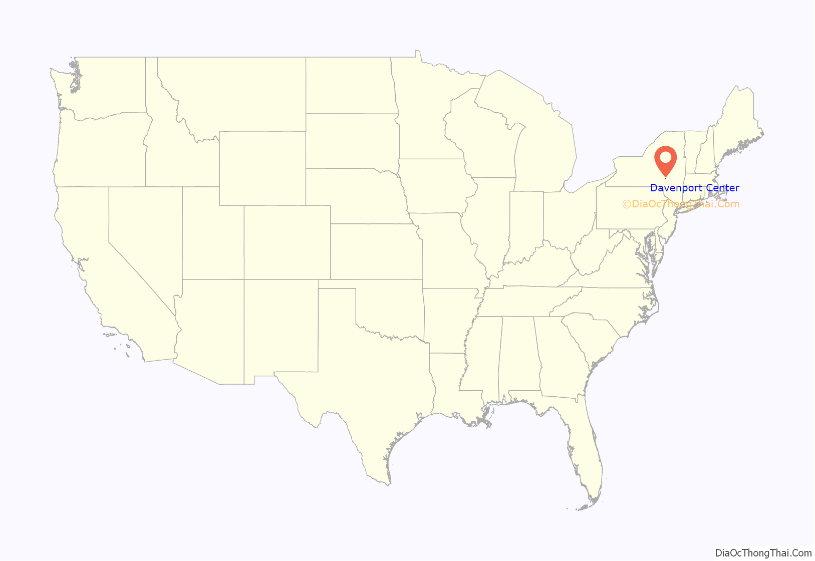
Davenport Center location map. Where is Davenport Center CDP?
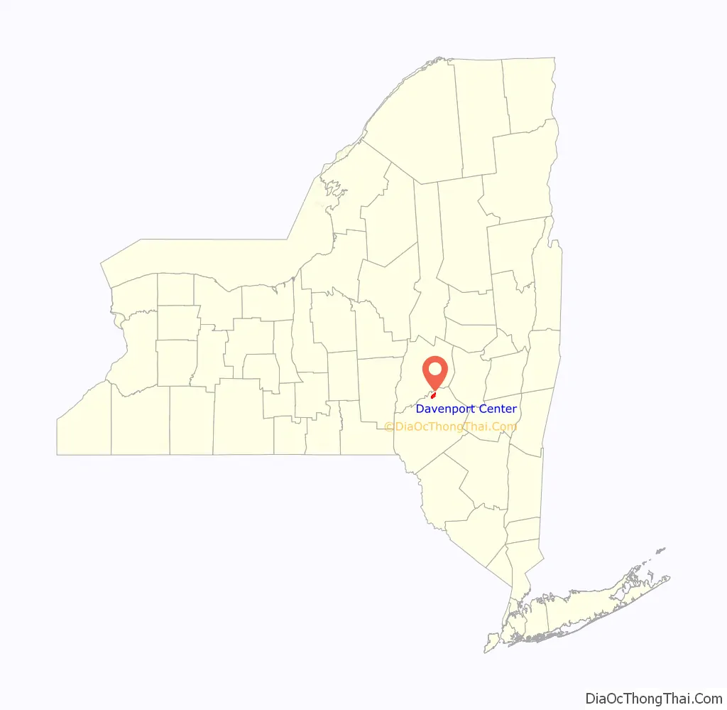
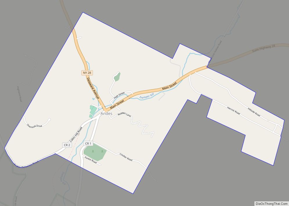
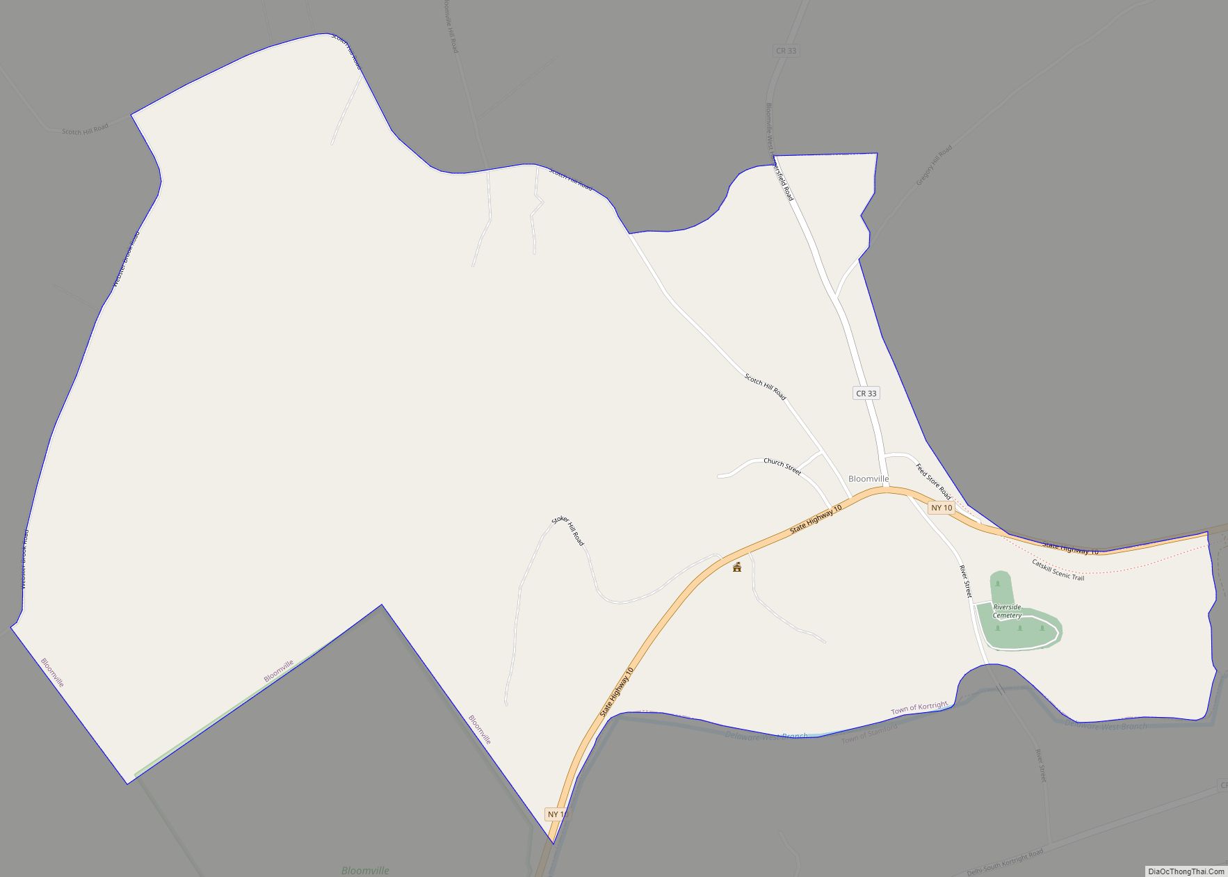
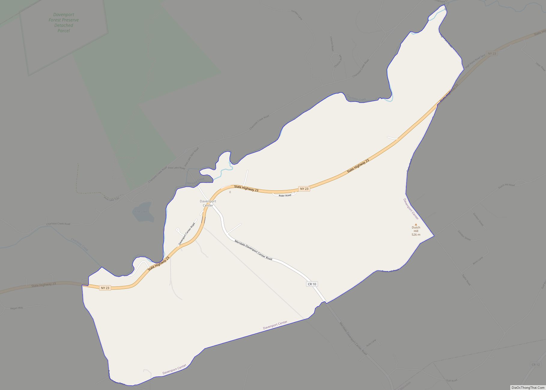
Davenport Center Road Map
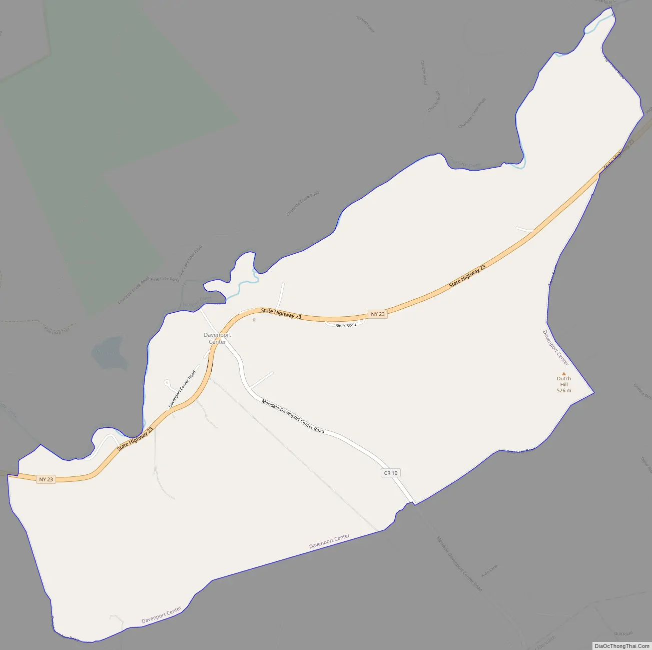
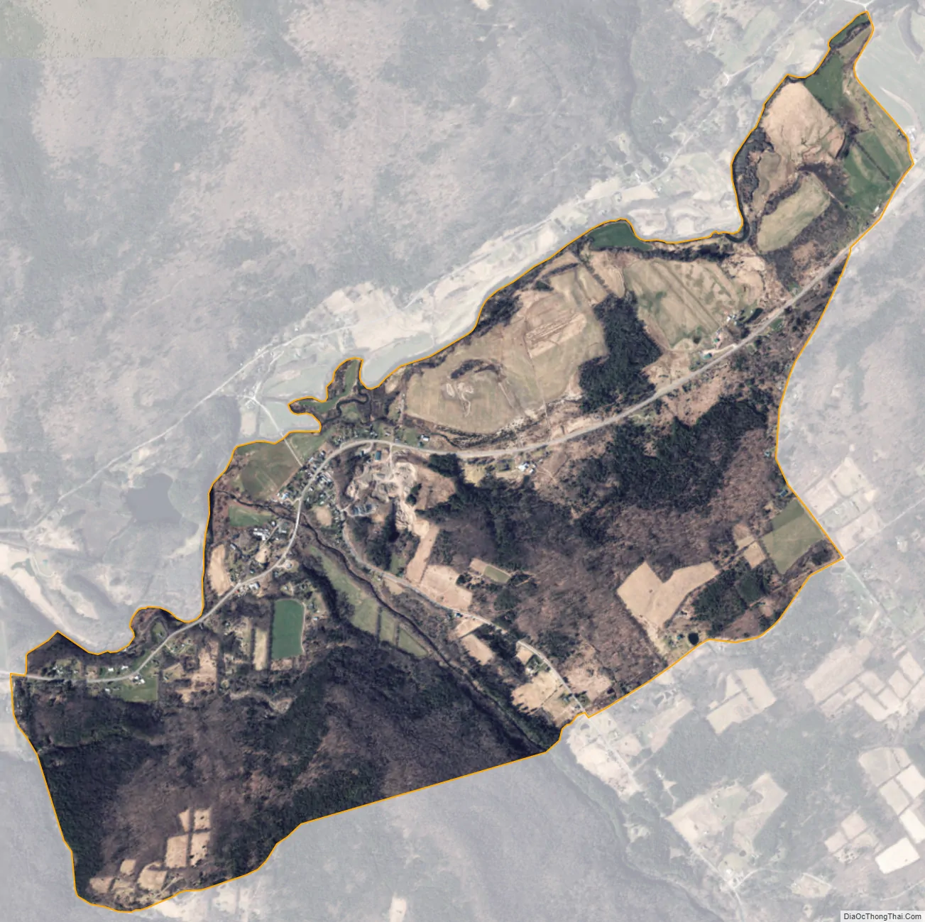
Davenport Center city Satellite Map
Geography
Davenport Center is located, as the name suggests, in the center of the town of Davenport, in the Charlotte Valley. Charlotte Creek flows along the northern edge of the community on its way west to the Susquehanna River at Oneonta. New York State Route 23 passes through Davenport Center, leading west 8 miles (13 km) to Oneonta and east 18 miles (29 km) to Stamford.
According to the United States Census Bureau, the Davenport Center CDP has a total area of 3.1 square miles (8.1 km), of which 3.1 square miles (8.0 km) is land and 0.04 square miles (0.1 km), or 1.28%, is water.
See also
Map of New York State and its subdivision:- Albany
- Allegany
- Bronx
- Broome
- Cattaraugus
- Cayuga
- Chautauqua
- Chemung
- Chenango
- Clinton
- Columbia
- Cortland
- Delaware
- Dutchess
- Erie
- Essex
- Franklin
- Fulton
- Genesee
- Greene
- Hamilton
- Herkimer
- Jefferson
- Kings
- Lake Ontario
- Lewis
- Livingston
- Madison
- Monroe
- Montgomery
- Nassau
- New York
- Niagara
- Oneida
- Onondaga
- Ontario
- Orange
- Orleans
- Oswego
- Otsego
- Putnam
- Queens
- Rensselaer
- Richmond
- Rockland
- Saint Lawrence
- Saratoga
- Schenectady
- Schoharie
- Schuyler
- Seneca
- Steuben
- Suffolk
- Sullivan
- Tioga
- Tompkins
- Ulster
- Warren
- Washington
- Wayne
- Westchester
- Wyoming
- Yates
- Alabama
- Alaska
- Arizona
- Arkansas
- California
- Colorado
- Connecticut
- Delaware
- District of Columbia
- Florida
- Georgia
- Hawaii
- Idaho
- Illinois
- Indiana
- Iowa
- Kansas
- Kentucky
- Louisiana
- Maine
- Maryland
- Massachusetts
- Michigan
- Minnesota
- Mississippi
- Missouri
- Montana
- Nebraska
- Nevada
- New Hampshire
- New Jersey
- New Mexico
- New York
- North Carolina
- North Dakota
- Ohio
- Oklahoma
- Oregon
- Pennsylvania
- Rhode Island
- South Carolina
- South Dakota
- Tennessee
- Texas
- Utah
- Vermont
- Virginia
- Washington
- West Virginia
- Wisconsin
- Wyoming