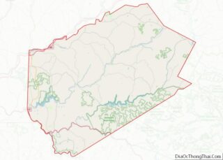
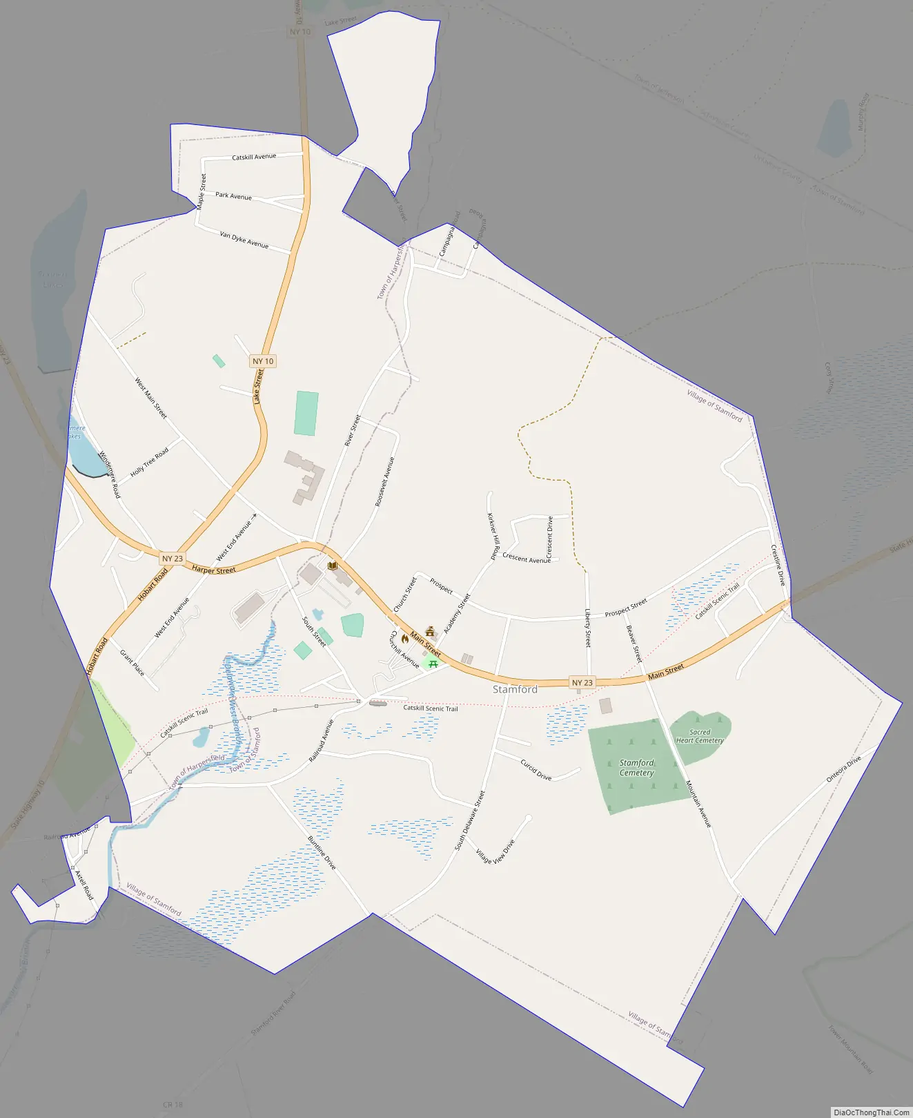
Stamford is a village in Delaware County, New York, United States. The population was 1,119 at the 2010 census. The village is located partly in the town of Stamford and partly in the town of Harpersfield. The village is on routes 23 and 10. The village has termed itself the “Queen of the Catskills”.
| Name: | Stamford village |
|---|---|
| LSAD Code: | 47 |
| LSAD Description: | village (suffix) |
| State: | New York |
| County: | Delaware County |
| Elevation: | 1,818 ft (554 m) |
| Total Area: | 1.34 sq mi (3.47 km²) |
| Land Area: | 1.33 sq mi (3.45 km²) |
| Water Area: | 0.01 sq mi (0.02 km²) |
| Total Population: | 1,040 |
| Population Density: | 780.20/sq mi (301.33/km²) |
| ZIP code: | 12167 |
| Area code: | 607 |
| FIPS code: | 3670618 |
| GNISfeature ID: | 0966210 |
| Website: | www.stamfordny.com |
Online Interactive Map
Click on ![]() to view map in "full screen" mode.
to view map in "full screen" mode.
Stamford location map. Where is Stamford village?


History
The area was visited by farmers and trappers in the 18th century. The village was incorporated in 1870. By the early part of the 20th century Stamford reached its peak as a tourist area, mostly aided by the arrival of the Ulster and Delaware Railroad from Kingston in 1872. Passenger service lasted until March 31, 1954; freight service until September 28, 1976.
The Churchill Park Historic District and Erskine L. Seeley House are listed on the National Register of Historic Places.
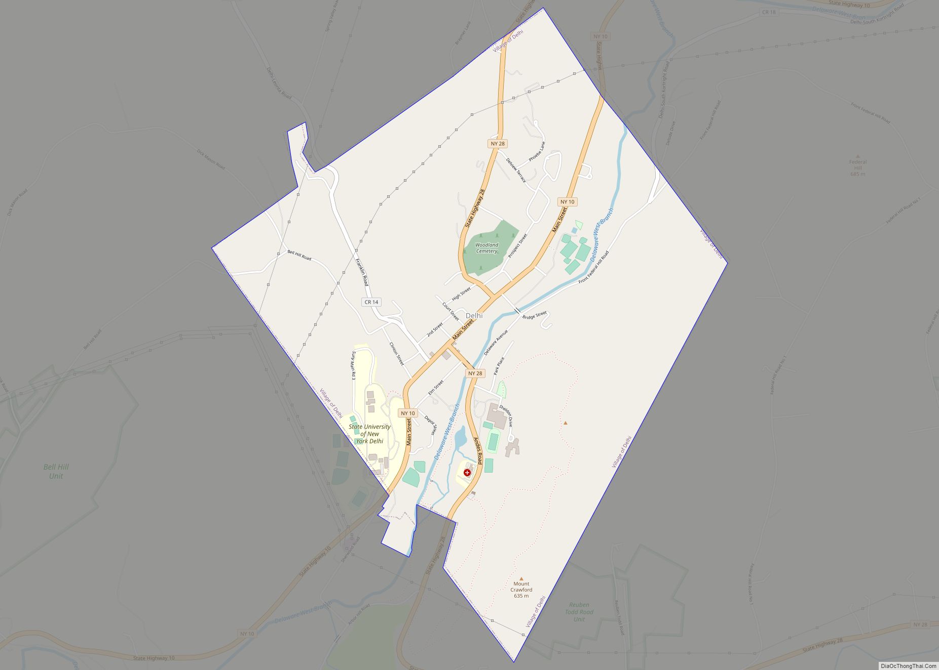
Stamford Road Map
Stamford city Satellite Map

Geography
Stamford is located in northeastern Delaware County at 42°25′N 74°37′W / 42.417°N 74.617°W / 42.417; -74.617 (42.4116, -74.6189). The village is in the Catskill Mountains. The headwaters of the West Branch Delaware River passes through the center of the village and forms the boundary between the town of Harpersfield to the west and the town of Stamford to the east. Slightly more than half of the village is in the town of Stamford.
New York State Routes 10 and 23 intersect on the west side of the village. NY 10 leads north 24 miles (39 km) to Cobleskill and southwest 20 miles (32 km) to Delhi, while NY 23 leads west 26 miles (42 km) to Oneonta and east 49 miles (79 km) to Catskill.
According to the United States Census Bureau, the village of Stamford has a total area of 1.4 square miles (3.5 km), of which 0.01 square miles (0.02 km), or 0.66%, is water.
See also
Map of New York State and its subdivision:- Albany
- Allegany
- Bronx
- Broome
- Cattaraugus
- Cayuga
- Chautauqua
- Chemung
- Chenango
- Clinton
- Columbia
- Cortland
- Delaware
- Dutchess
- Erie
- Essex
- Franklin
- Fulton
- Genesee
- Greene
- Hamilton
- Herkimer
- Jefferson
- Kings
- Lake Ontario
- Lewis
- Livingston
- Madison
- Monroe
- Montgomery
- Nassau
- New York
- Niagara
- Oneida
- Onondaga
- Ontario
- Orange
- Orleans
- Oswego
- Otsego
- Putnam
- Queens
- Rensselaer
- Richmond
- Rockland
- Saint Lawrence
- Saratoga
- Schenectady
- Schoharie
- Schuyler
- Seneca
- Steuben
- Suffolk
- Sullivan
- Tioga
- Tompkins
- Ulster
- Warren
- Washington
- Wayne
- Westchester
- Wyoming
- Yates
- Alabama
- Alaska
- Arizona
- Arkansas
- California
- Colorado
- Connecticut
- Delaware
- District of Columbia
- Florida
- Georgia
- Hawaii
- Idaho
- Illinois
- Indiana
- Iowa
- Kansas
- Kentucky
- Louisiana
- Maine
- Maryland
- Massachusetts
- Michigan
- Minnesota
- Mississippi
- Missouri
- Montana
- Nebraska
- Nevada
- New Hampshire
- New Jersey
- New Mexico
- New York
- North Carolina
- North Dakota
- Ohio
- Oklahoma
- Oregon
- Pennsylvania
- Rhode Island
- South Carolina
- South Dakota
- Tennessee
- Texas
- Utah
- Vermont
- Virginia
- Washington
- West Virginia
- Wisconsin
- Wyoming