The Village of East Hampton is a village in Suffolk County, New York. It is located in the town of East Hampton on the South Fork of eastern Long Island. The population was 1,083 at the time of the 2010 census, 251 less than in the year 2000. It is a center of the summer resort and upscale locality at the East End of Long Island known as The Hamptons and is generally considered one of the area’s two most prestigious communities. The Mayor of East Hampton Village is Jerry Larsen, elected on September 15, 2020.
| Name: | East Hampton village |
|---|---|
| LSAD Code: | 47 |
| LSAD Description: | village (suffix) |
| State: | New York |
| County: | Suffolk County |
| Founded: | 1648 |
| Incorporated: | 1920 |
| Elevation: | 26 ft (8 m) |
| Total Area: | 4.91 sq mi (12.71 km²) |
| Land Area: | 4.77 sq mi (12.35 km²) |
| Water Area: | 0.14 sq mi (0.36 km²) |
| Total Population: | 1,517 |
| Population Density: | 318.10/sq mi (122.81/km²) |
| ZIP code: | 11937 |
| FIPS code: | 3622183 |
| GNISfeature ID: | 2391650 |
| Website: | www.easthamptonvillage.org |
Online Interactive Map
Click on ![]() to view map in "full screen" mode.
to view map in "full screen" mode.
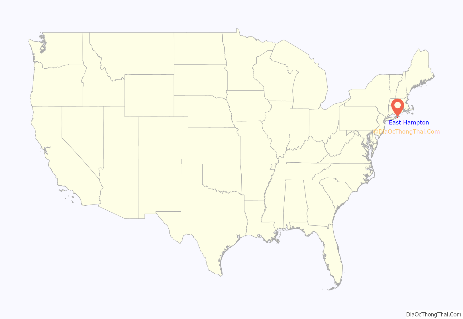
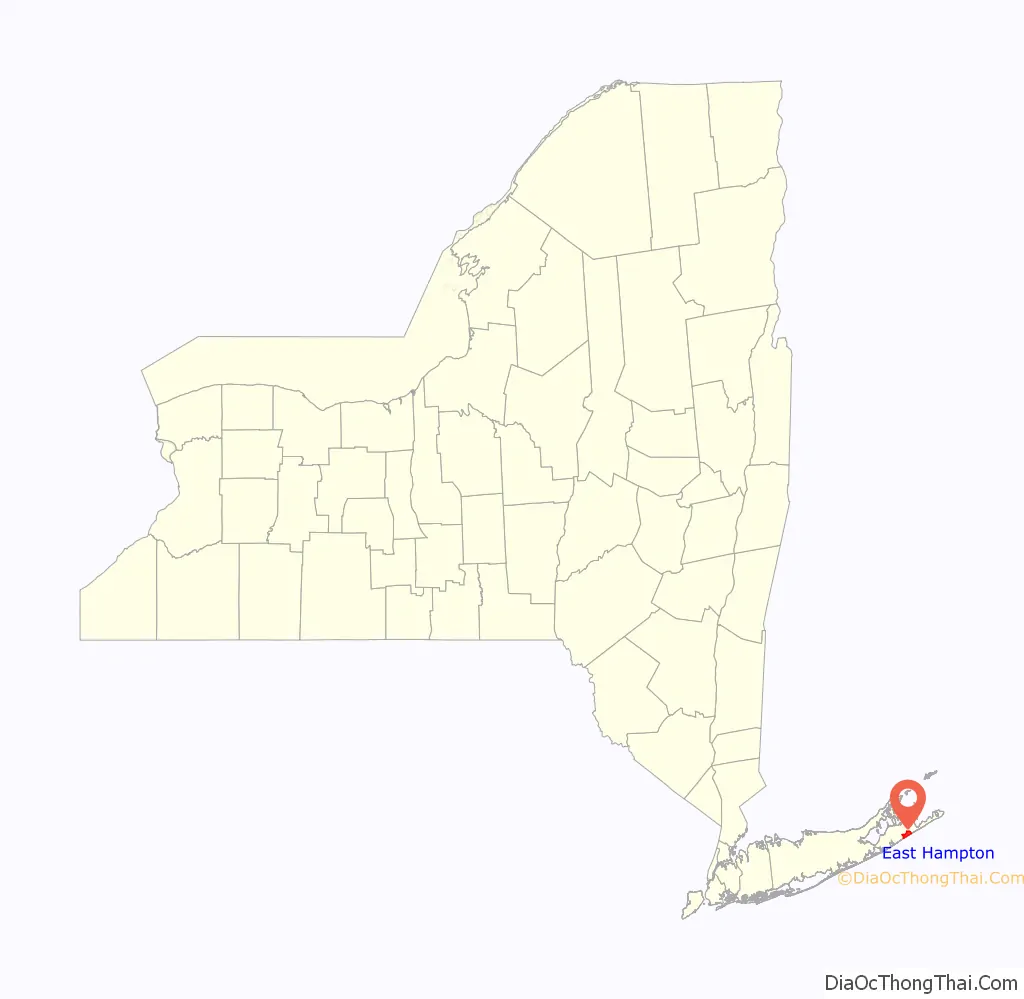
East Hampton location map. Where is East Hampton village?
History
17th century
The village of Easthampton was founded in 1648 by Puritan farmers who worshipped as Presbyterians. The community was based on farming, with some fishing and whaling. Whales that washed up on the beach were butchered, and whales were hunted offshore with rowboats sometimes manned by Montauk Indians. The lack of a good harbor in East Hampton, however, resulted in Sag Harbor becoming a whaling center which sent ships to the Pacific.
The land had been purchased in 1648 by the governors of Connecticut Colony and New Haven Colony from the Montauk Indians, in large part for small drills to make wampum, their traditional industry; hunting and fishing rights were retained. It was then sold for about £30 to settlers, some from Lynn and Salem, Massachusetts, who had not found room for their herds in Massachusetts Bay Colony. The original name for the village was Maidstone, from a village in Kent where some of the settlers may have originated. Each original settler was allotted a village lot of several acres and rights in common to surrounding lands which were regulated by the town government. The area was transferred to the jurisdiction of New York in 1664.
In large part, early settlers in East Hampton were unacquainted with one another. A great deal of jockeying for position resulted, which took the form of legal proceedings conducted by the town government. Summaries of these proceedings were recorded by the town clerk and form the major resource for historians studying East Hampton during the 17th Century; there are few other written records such as diaries.
The witchcraft accusation against Elizabeth Garlick began in East Hampton.
19th century
In the late 19th century, after extension of the railway to Bridgehampton in 1870 by predecessors of the Long Island Rail Road, visitors began to summer, at first in boarding houses on Main Street, then in “cottages,” which sometimes were substantial estates, built on former farms and pastures in the village. Shingle style architecture was popular from the 1880s. By the early 1890s the prices being commanded for cottage sites, as high as $10 thousand an acre, were the object of comment by the editors of The New York Times. The Montauk Branch of the railroad was extended through East Hampton to Montauk in 1895.
20th century
It was during the 1910s and 20s that most luxury estates were built by the very wealthy, mostly in the Eastern Plain, a previously undeveloped agricultural area. The privately circulated Blue Book of the Hamptons informed, and continues to inform, fashionable residents as to who is who. The Great Depression and World War II resulted in a lull, but full-scale building of cottages resumed in the 1950s and some of the large estates began to be broken up. By 1968 the exclusive character of the “Summer Colony” had become so diluted by the merely rich that the column of that name in The East Hampton Star was discontinued.
The quaint windmills and other sights were favored by artists and art students from the 1890s. It became an artists’ colony in the mid-20th century, popularized by the Abstract Expressionists.
21st century
As of the 21st century the Hamptons are a fashionable, if crowded and expensive, weekend destination during the summer season. According to Sotheby’s International Realty:
History and surviving historic sites are detailed in “Village of East Hampton Multiple Area”, a New York State study.
Political
On September 15, 2020 the retired Chief of Police Jerry Larsen was elected Mayor in a landslide victory under the Newtown Party political platform to revitalize the downtown and rebuild the village’s infrastructure. His running mates Chris Minardi and Sandra Melendez Esq. became Trustees of the Village of East Hampton.
On June 21, 2022 the NewTown Party captured two more seats on the Village Board of Trustees for a 5-0 majority easily defeating the incumbent Arthur “Tiger” Graham.
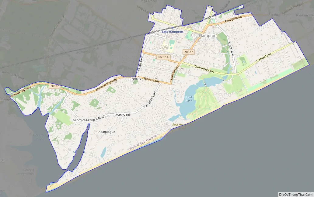
East Hampton Road Map
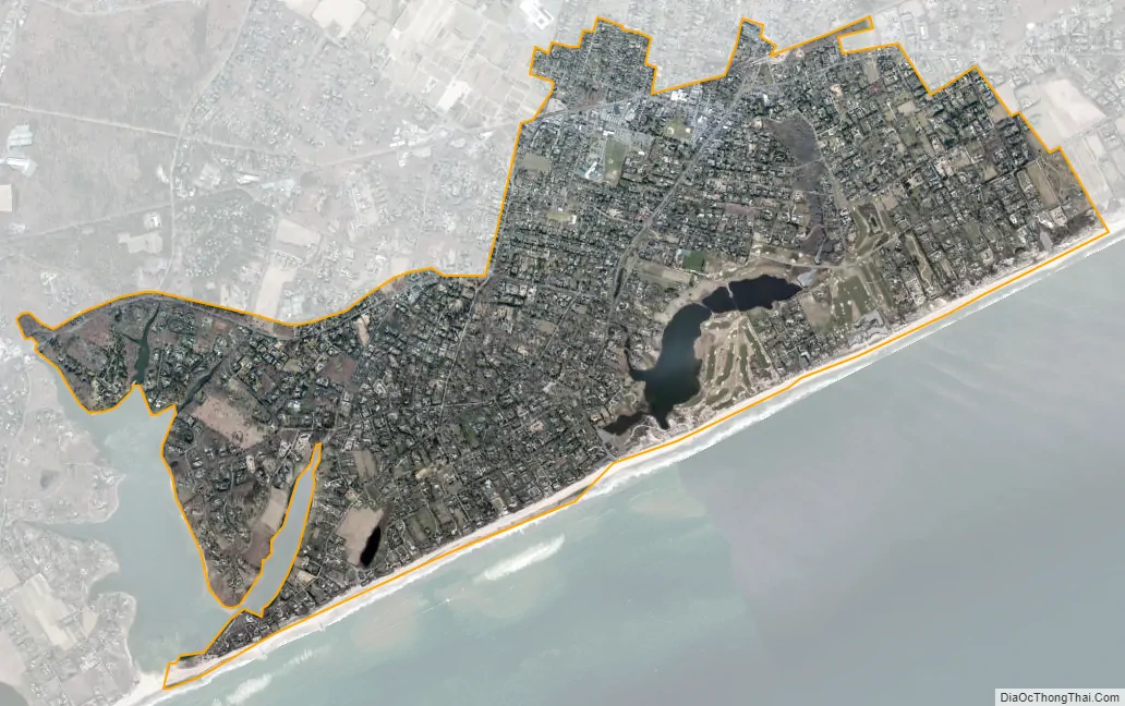
East Hampton city Satellite Map
Geography
According to the United States Census Bureau, the village has a total area of 4.9 square miles (12.7 km), of which 4.7 square miles (12.3 km) are land, while 0.15 square miles (0.4 km), or 2.82% of the total area, is water.
The village gained some territory and lost some territory between the 1990 census and the 2000 census. The neighborhood near Georgica Pond, a tidal pond on the west side of the village is notable for its fashionable residences and high-profile residents.
See also
Map of New York State and its subdivision:- Albany
- Allegany
- Bronx
- Broome
- Cattaraugus
- Cayuga
- Chautauqua
- Chemung
- Chenango
- Clinton
- Columbia
- Cortland
- Delaware
- Dutchess
- Erie
- Essex
- Franklin
- Fulton
- Genesee
- Greene
- Hamilton
- Herkimer
- Jefferson
- Kings
- Lake Ontario
- Lewis
- Livingston
- Madison
- Monroe
- Montgomery
- Nassau
- New York
- Niagara
- Oneida
- Onondaga
- Ontario
- Orange
- Orleans
- Oswego
- Otsego
- Putnam
- Queens
- Rensselaer
- Richmond
- Rockland
- Saint Lawrence
- Saratoga
- Schenectady
- Schoharie
- Schuyler
- Seneca
- Steuben
- Suffolk
- Sullivan
- Tioga
- Tompkins
- Ulster
- Warren
- Washington
- Wayne
- Westchester
- Wyoming
- Yates
- Alabama
- Alaska
- Arizona
- Arkansas
- California
- Colorado
- Connecticut
- Delaware
- District of Columbia
- Florida
- Georgia
- Hawaii
- Idaho
- Illinois
- Indiana
- Iowa
- Kansas
- Kentucky
- Louisiana
- Maine
- Maryland
- Massachusetts
- Michigan
- Minnesota
- Mississippi
- Missouri
- Montana
- Nebraska
- Nevada
- New Hampshire
- New Jersey
- New Mexico
- New York
- North Carolina
- North Dakota
- Ohio
- Oklahoma
- Oregon
- Pennsylvania
- Rhode Island
- South Carolina
- South Dakota
- Tennessee
- Texas
- Utah
- Vermont
- Virginia
- Washington
- West Virginia
- Wisconsin
- Wyoming


