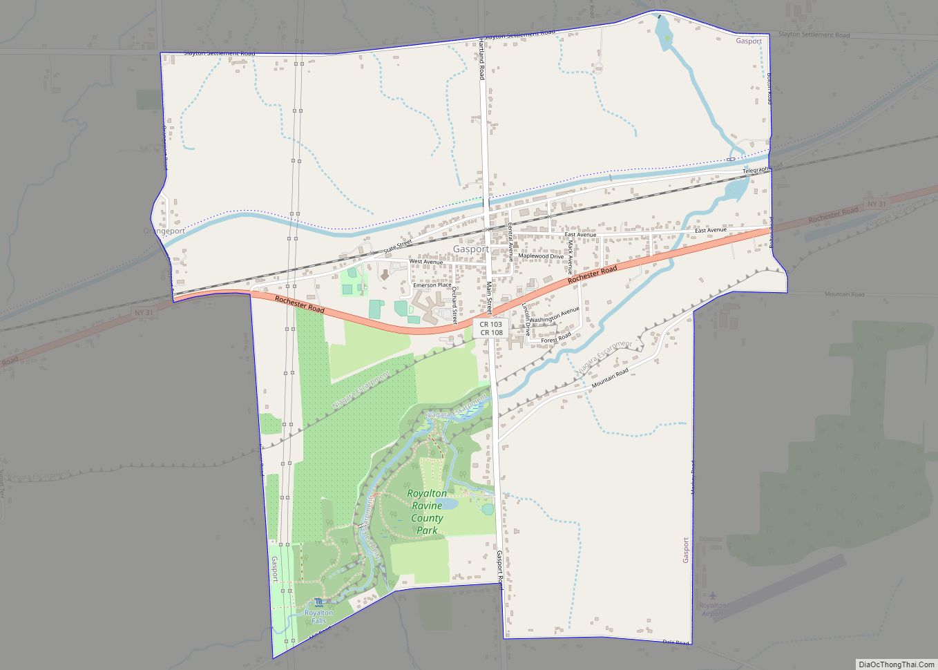
Gasport is a hamlet (and census-designated place) located in the Town of Royalton in Niagara County, New York, United States. The population was 1,248 at the 2010 census. The name is derived from observed natural gas and the historic Erie Canal port at that location. It is part of the Buffalo–Niagara Falls Metropolitan Statistical Area.
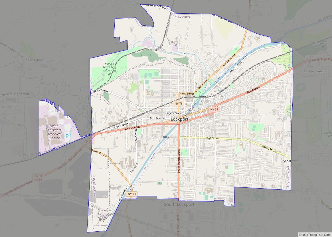
Gasport is east of the City of Lockport.
| Name: | Gasport CDP |
|---|---|
| LSAD Code: | 57 |
| LSAD Description: | CDP (suffix) |
| State: | New York |
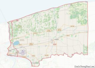
| County: | Niagara County |
| Elevation: | 515 ft (157 m) |
| Total Area: | 3.17 sq mi (8.21 km²) |
| Land Area: | 3.12 sq mi (8.08 km²) |
| Water Area: | 0.05 sq mi (0.13 km²) |
| Total Population: | 1,296 |
| Population Density: | 415.52/sq mi (160.42/km²) |
| ZIP code: | 14067 |
| Area code: | 716 |
| FIPS code: | 3628431 |
| GNISfeature ID: | 0950934 |
Online Interactive Map
Click on ![]() to view map in "full screen" mode.
to view map in "full screen" mode.
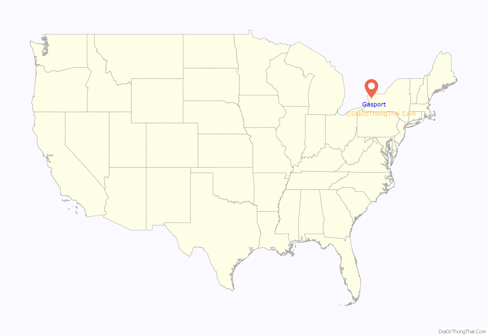
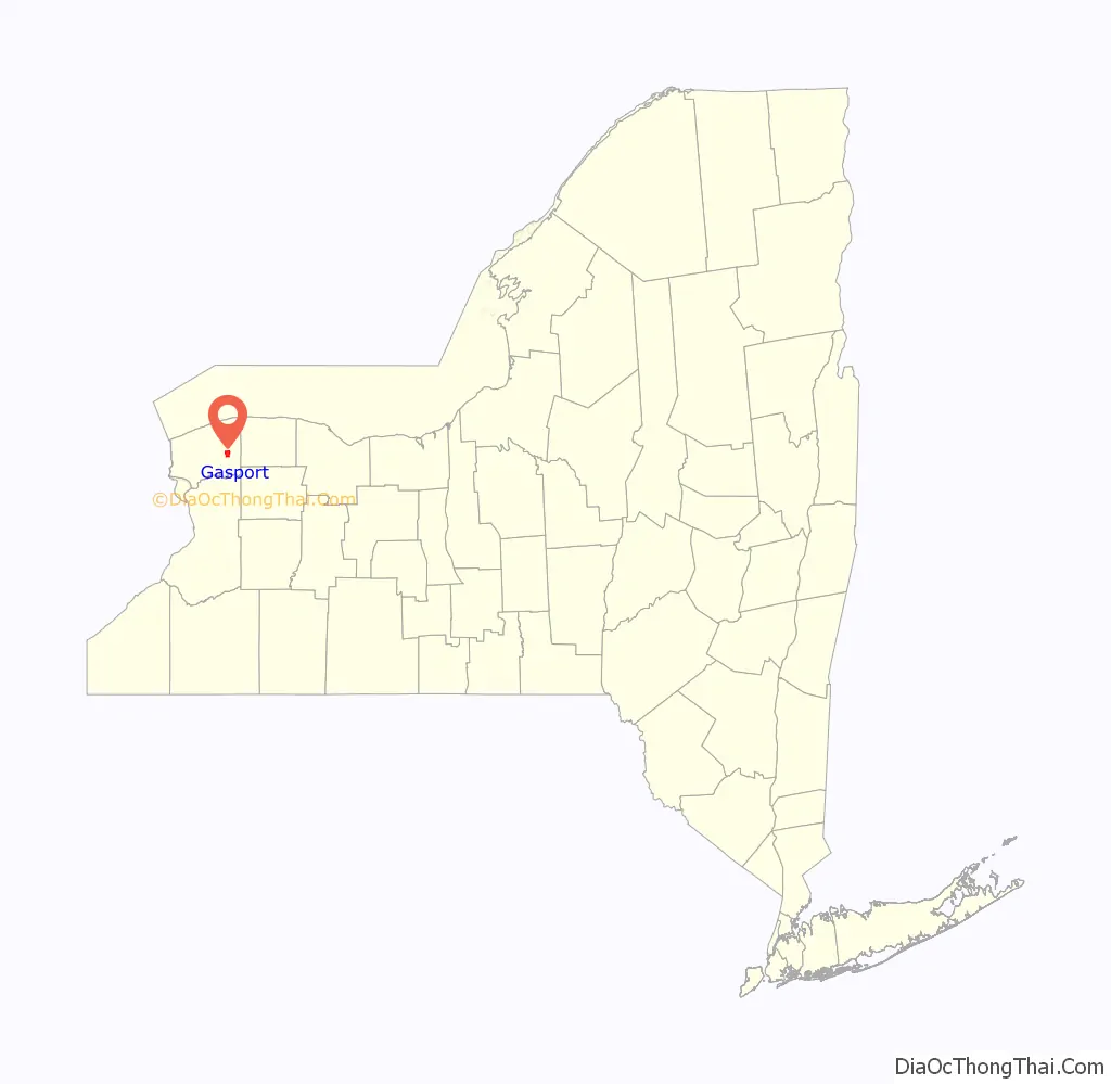
Gasport location map. Where is Gasport CDP?
History
On May 18, 1826, a geological expedition, led by Amos Eaton and physicist Joseph Henry of the Rensselaerian School (now Rensselaer Polytechnic Institute) through the western part of New York state aboard the canal boat “LaFayette,” encountered flammable coal gas rising from a spring. They named the local community Gasport. On the return voyage, May 26, they passed through the settlement again, and saw that the name was already appearing on signboards.
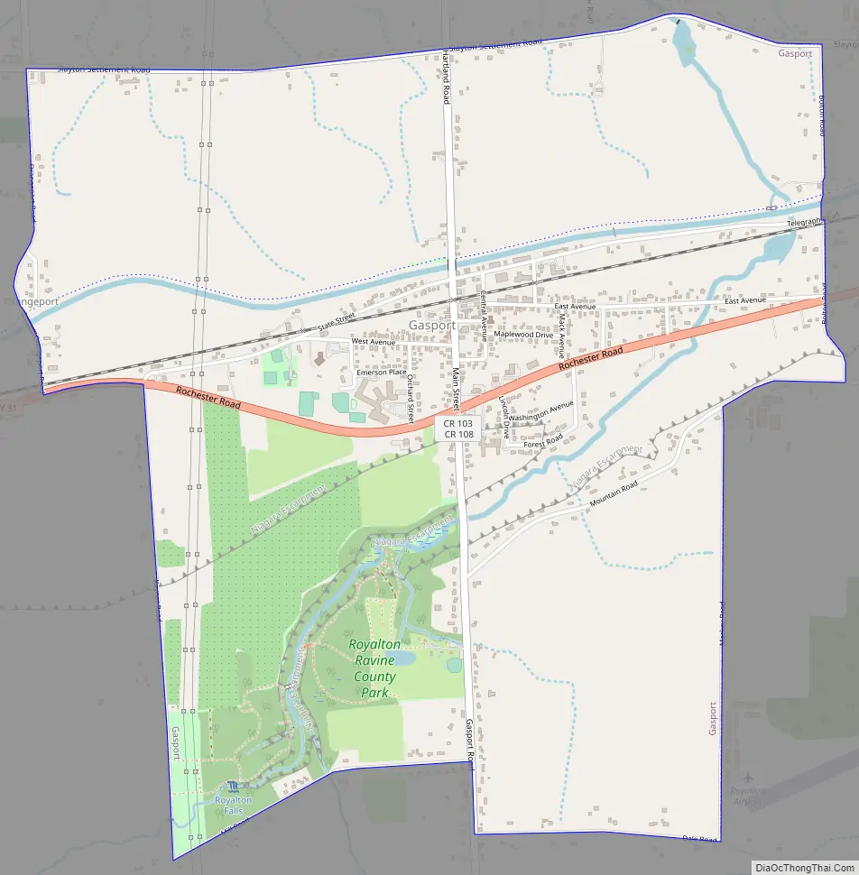
Gasport Road Map
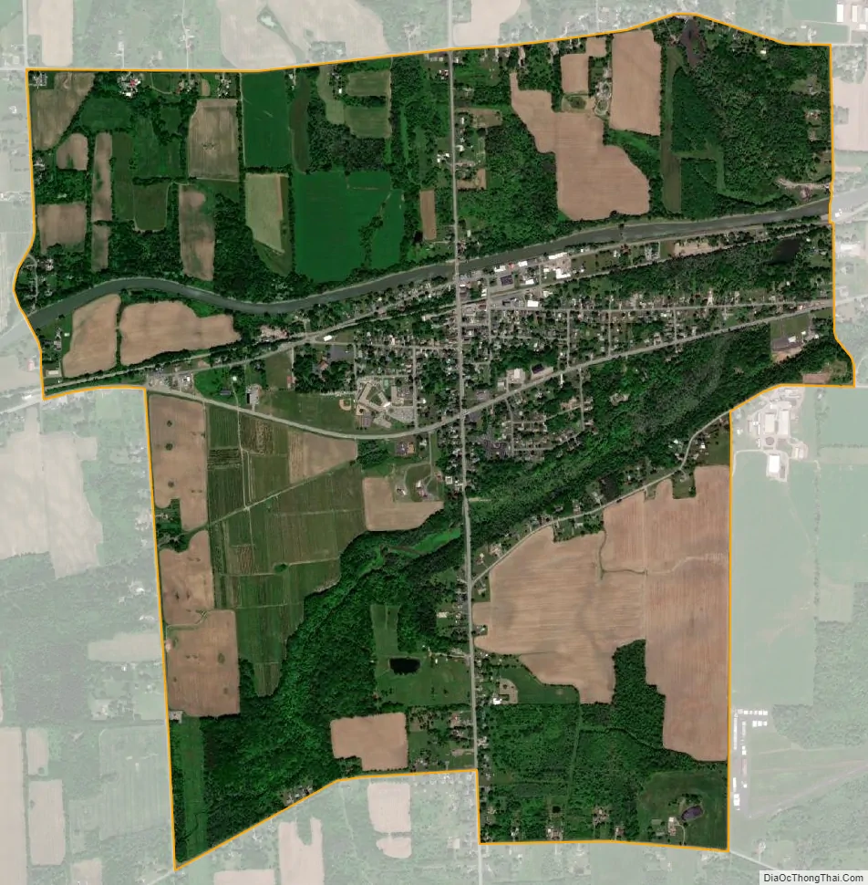
Gasport city Satellite Map
Geography
Gasport is located at 43°11′52″N 78°34′21″W / 43.19778°N 78.57250°W / 43.19778; -78.57250 (43.197713, -78.572630).
According to the United States Census Bureau, the village has a total area of 2.9 square miles (7.5 km), of which 2.9 square miles (7.5 km) is land and 0.1 square miles (0.26 km) (2.05%) is water.
The hamlet of Gasport is located on New York State Route 31 (Rochester Road) and the Erie Canal.
See also
Map of New York State and its subdivision:- Albany
- Allegany
- Bronx
- Broome
- Cattaraugus
- Cayuga
- Chautauqua
- Chemung
- Chenango
- Clinton
- Columbia
- Cortland
- Delaware
- Dutchess
- Erie
- Essex
- Franklin
- Fulton
- Genesee
- Greene
- Hamilton
- Herkimer
- Jefferson
- Kings
- Lake Ontario
- Lewis
- Livingston
- Madison
- Monroe
- Montgomery
- Nassau
- New York
- Niagara
- Oneida
- Onondaga
- Ontario
- Orange
- Orleans
- Oswego
- Otsego
- Putnam
- Queens
- Rensselaer
- Richmond
- Rockland
- Saint Lawrence
- Saratoga
- Schenectady
- Schoharie
- Schuyler
- Seneca
- Steuben
- Suffolk
- Sullivan
- Tioga
- Tompkins
- Ulster
- Warren
- Washington
- Wayne
- Westchester
- Wyoming
- Yates
- Alabama
- Alaska
- Arizona
- Arkansas
- California
- Colorado
- Connecticut
- Delaware
- District of Columbia
- Florida
- Georgia
- Hawaii
- Idaho
- Illinois
- Indiana
- Iowa
- Kansas
- Kentucky
- Louisiana
- Maine
- Maryland
- Massachusetts
- Michigan
- Minnesota
- Mississippi
- Missouri
- Montana
- Nebraska
- Nevada
- New Hampshire
- New Jersey
- New Mexico
- New York
- North Carolina
- North Dakota
- Ohio
- Oklahoma
- Oregon
- Pennsylvania
- Rhode Island
- South Carolina
- South Dakota
- Tennessee
- Texas
- Utah
- Vermont
- Virginia
- Washington
- West Virginia
- Wisconsin
- Wyoming