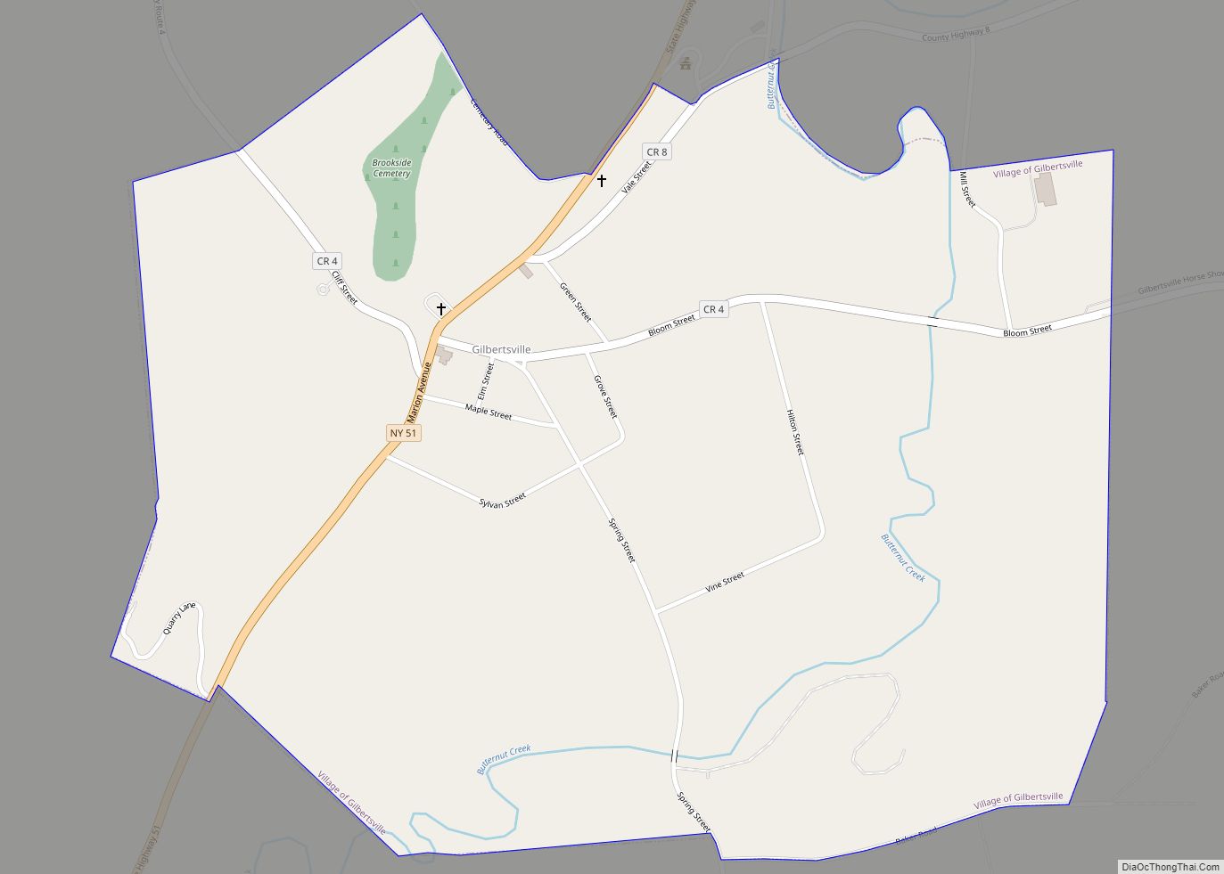
Gilbertsville is a historic village in Otsego County, New York, United States. The population was 399 at the 2010 census. The Village of Gilbertsville is in the Town of Butternuts and is west of Oneonta.
| Name: | Gilbertsville village |
|---|---|
| LSAD Code: | 47 |
| LSAD Description: | village (suffix) |
| State: | New York |
| County: | Otsego County |
| Elevation: | 1,093 ft (333 m) |
| Total Area: | 1.00 sq mi (2.60 km²) |
| Land Area: | 1.00 sq mi (2.60 km²) |
| Water Area: | 0.00 sq mi (0.00 km²) |
| Total Population: | 308 |
| Population Density: | 307.08/sq mi (118.61/km²) |
| ZIP code: | 13776 |
| Area code: | 607 |
| FIPS code: | 3628959 |
| GNISfeature ID: | 0951099 |
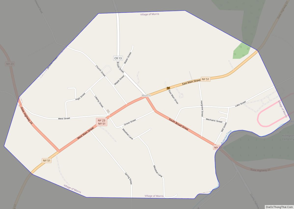
Online Interactive Map
Click on ![]() to view map in "full screen" mode.
to view map in "full screen" mode.
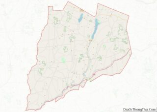
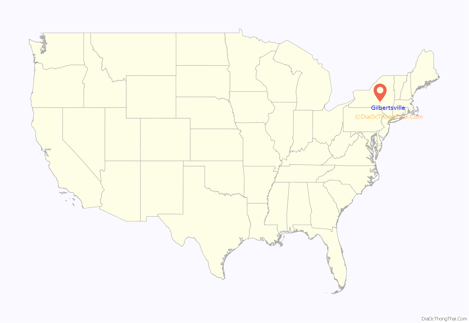
Gilbertsville location map. Where is Gilbertsville village?
History
Early history
The village was the first settlement in the town, named after landowner Abijah Gilbert of Nuneaton, England, father of the United States Senator from Florida, also named Abijah Gilbert.
Disputes about damming Butternut Creek
According to the article “Goliath Met David on the Banks of the Butternut Creek,” by Leigh C. Eckmair, for much of the 20th century, the Village of Gilbertsville lived under threat of destruction by a U.S. Army Corps of Engineers’ flood control project. A dam of the Upper Susquehanna Rivershed Project was to be built on the lower Butternut Creek at a spot called Cope’s Corners. This dam was to flood the valley behind it, including the village of Gilbertsville, to create a three-mile long lake. Residents had been watching in horror over the years as communities in the nearby Catskills had become victims of similar projects and had vowed not to let it happen to their small village.
The dam project, originally proposed prior to World War I, met with very strong local opposition every time it was reintroduced. Delayed due to World War I and the Great Depression, the project was reintroduced in 1935 following a flood which did millions of dollars of damage to communities in eight southern tier counties in upstate New York. Funding was appropriated, but the project was delayed because of World War II.
In the early 1950s, the Village of Gilbertsville was again endangered when the U.S. Congress reauthorized funding for the project. A locally-organized protest began to call attention to the negative aspects of the project on a state and federal level. The protest was very active from the 1950s through the 1970s.
During this time, several important studies of Gilbertsville and Butternut Valley architecture were compiled. These studies called attention to the fact that a number of well known architects of the late 19th and early 20th centuries had been responsible for the design, building and renovation of many attractive village structures. As a result, a number of architectural scholars became involved in protesting the dam project which would destroy this legacy. From that effort came the suggestion that several structures in the center of the village be nominated to the new Department of the Interior’s National Register of Historic Places. It was hoped that National Register recognition would afford some protection for the village, on the state and federal level, from the proposed dams.
The Committee for the Historic Preservation of Gilbertsville was formed to work with the N.Y. State Office of Parks and Recreation and to prepare nominations, documentation and photographs. Consultants came to inspect the nominated properties and saw that other structures and sites in the village were equally worthy of nomination. The suggestion was made that the entire village be inventoried as a complete Historic District and that the recognition of the entire village as an Historic District would be even more powerful protection from the dams.
The committee called on the community for help with the expanded project and was not disappointed. Over seven years the full committee of 19 volunteer researchers, typists, ‘gofers’,” and photographers prepared a total of 194 individual structural inventory reports plus reports for each cemetery, park, bridge and five additional structures just outside the village incorporation.
The committee wrote a sixteen-page pamphlet describing the importance of the Historic District, its setting and architecture, including photographs, and presented it to the congressional committee considering funding of the project.
The same committee analyzed a century’s worth of weather history in the Upper Susquehanna Rivershed, documenting flooding on the lower Susquehanna River. The study found that no significant flooding occurred in the areas drained by the Butternut Creek and the Unadilla River during times of damaging floods on the lower Susquehanna River.
The combination of all these efforts was rewarded when deauthorization of funding for the complete Upper Susquehanna River Shed Project was proposed to Congress in 1979, and the threat of the construction of the dams was removed.
The National Register of Historic Places recognition of the entire village of Gilbertsville as a Historic District was awarded in May 1983.
In September 2003, a weathervane of a standing aboriginal American, Uncas, from 1902 created by J.L. Mott Company of New York City, which stood atop the Butternut Valley Grange was sold for $205,000 to Raymond and Susan Egan of Princeton, New Jersey. While replaced with a copy, the sale resulted in significant disputes on its ownership and who had the authority to sell the valuable weathervane.
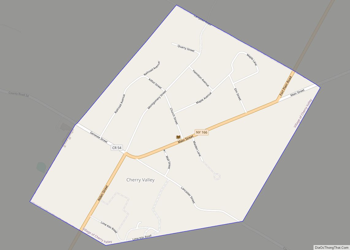
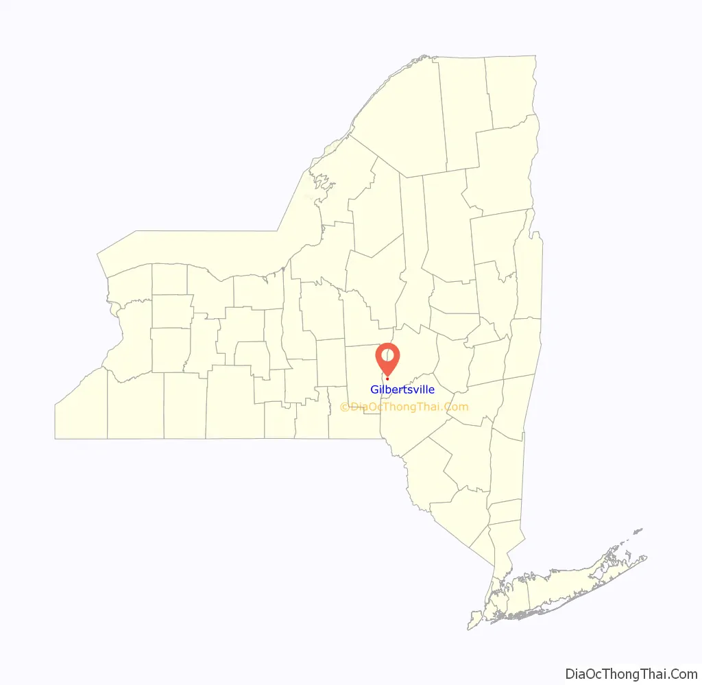
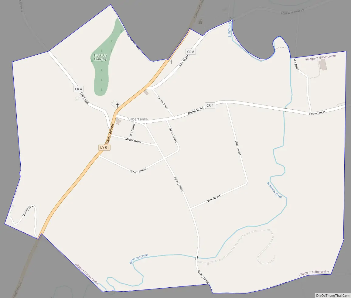
Gilbertsville Road Map
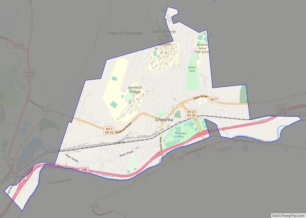
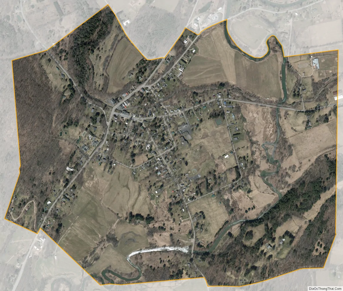
Gilbertsville city Satellite Map
Geography
Gilbertsville is located at 42°28′10″N 75°19′16″W / 42.46944°N 75.32111°W / 42.46944; -75.32111 (42.469492, −75.320980).
According to the United States Census Bureau, the village has a total area of 1.0 square mile (2.6 km), all land.
Gilbertsville is located on New York State Route 51 (Marion Avenue) and is also served by County Highways 4 (Cliff Street and Bloom Street) and 8 (Vale Street).
Gilbertsville is located by the Butternut Creek.
See also
Map of New York State and its subdivision:- Albany
- Allegany
- Bronx
- Broome
- Cattaraugus
- Cayuga
- Chautauqua
- Chemung
- Chenango
- Clinton
- Columbia
- Cortland
- Delaware
- Dutchess
- Erie
- Essex
- Franklin
- Fulton
- Genesee
- Greene
- Hamilton
- Herkimer
- Jefferson
- Kings
- Lake Ontario
- Lewis
- Livingston
- Madison
- Monroe
- Montgomery
- Nassau
- New York
- Niagara
- Oneida
- Onondaga
- Ontario
- Orange
- Orleans
- Oswego
- Otsego
- Putnam
- Queens
- Rensselaer
- Richmond
- Rockland
- Saint Lawrence
- Saratoga
- Schenectady
- Schoharie
- Schuyler
- Seneca
- Steuben
- Suffolk
- Sullivan
- Tioga
- Tompkins
- Ulster
- Warren
- Washington
- Wayne
- Westchester
- Wyoming
- Yates
- Alabama
- Alaska
- Arizona
- Arkansas
- California
- Colorado
- Connecticut
- Delaware
- District of Columbia
- Florida
- Georgia
- Hawaii
- Idaho
- Illinois
- Indiana
- Iowa
- Kansas
- Kentucky
- Louisiana
- Maine
- Maryland
- Massachusetts
- Michigan
- Minnesota
- Mississippi
- Missouri
- Montana
- Nebraska
- Nevada
- New Hampshire
- New Jersey
- New Mexico
- New York
- North Carolina
- North Dakota
- Ohio
- Oklahoma
- Oregon
- Pennsylvania
- Rhode Island
- South Carolina
- South Dakota
- Tennessee
- Texas
- Utah
- Vermont
- Virginia
- Washington
- West Virginia
- Wisconsin
- Wyoming