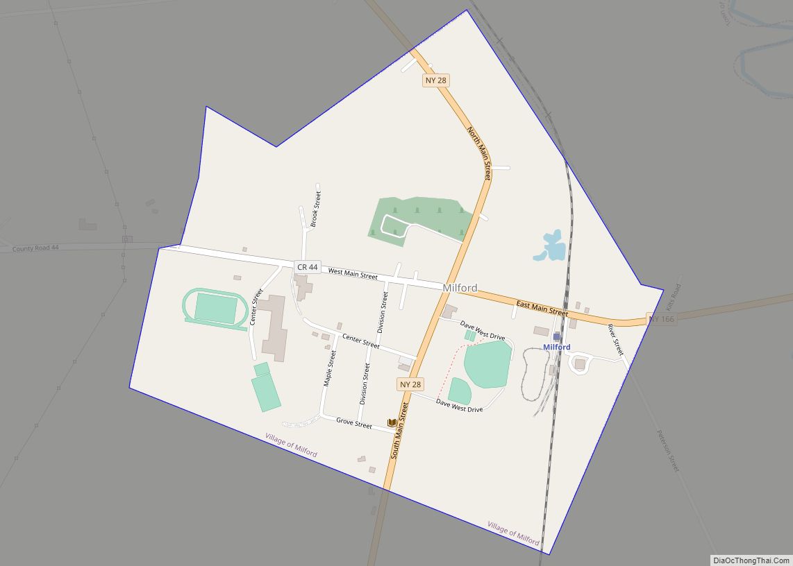
The Village of Milford is a village in the northeastern part of the Town of Milford, in Otsego County, New York, United States. It is located northeast of Oneonta. As of the 2010 census, the village had a population of 415.
| Name: | Milford village |
|---|---|
| LSAD Code: | 47 |
| LSAD Description: | village (suffix) |
| State: | New York |
| County: | Otsego County |
| Elevation: | 1,207 ft (368 m) |
| Total Area: | 0.42 sq mi (1.10 km²) |
| Land Area: | 0.42 sq mi (1.10 km²) |
| Water Area: | 0.00 sq mi (0.00 km²) |
| Total Population: | 367 |
| Population Density: | 865.57/sq mi (334.00/km²) |
| ZIP code: | 13807 |
| Area code: | 607 |
| FIPS code: | 3647229 |
| GNISfeature ID: | 0957183 |
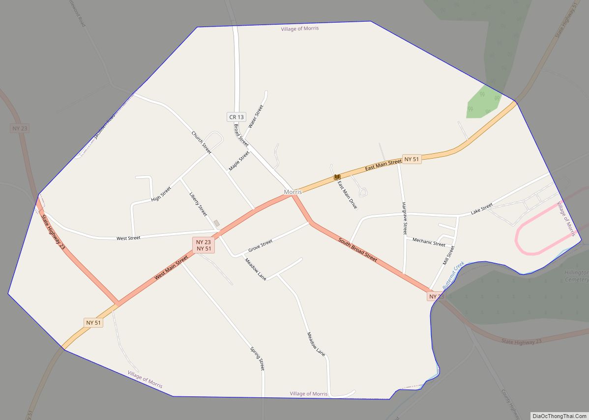
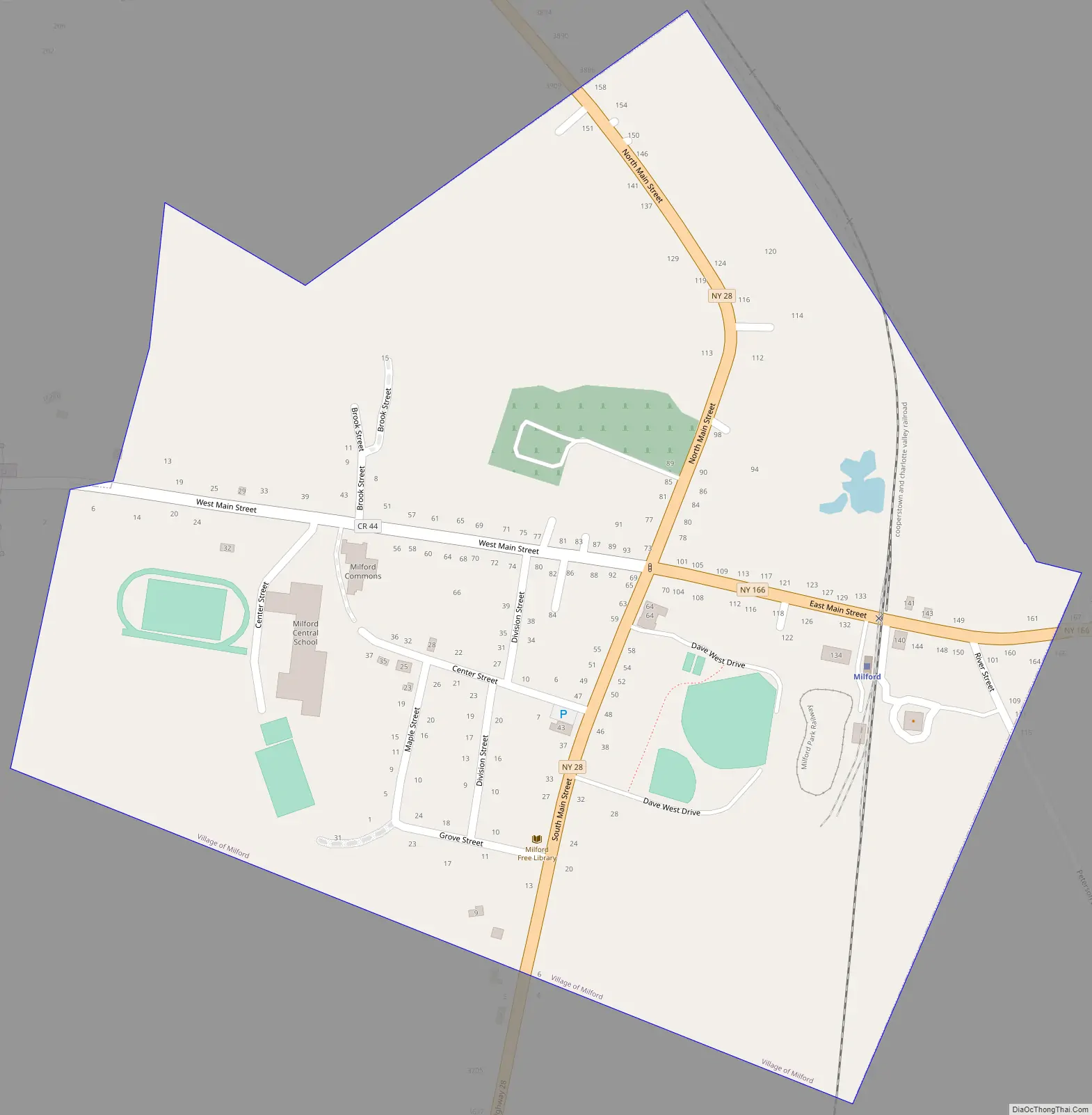
Online Interactive Map
Click on ![]() to view map in "full screen" mode.
to view map in "full screen" mode.
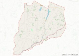
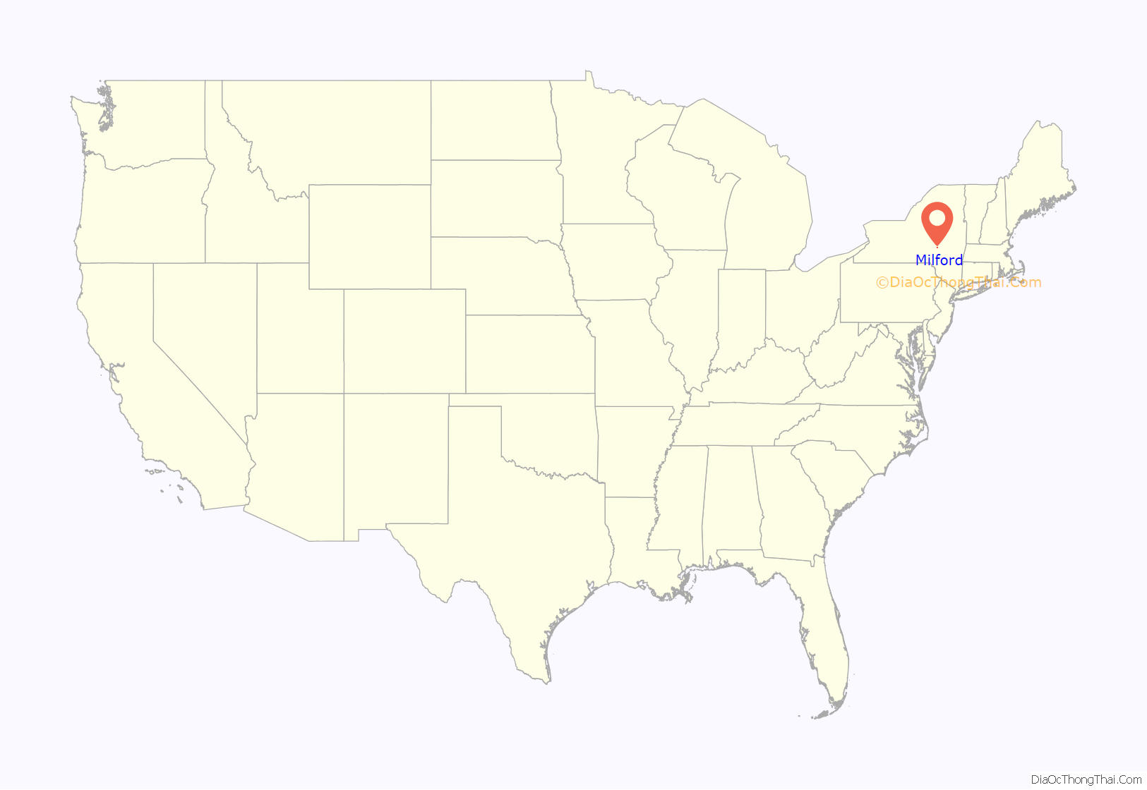
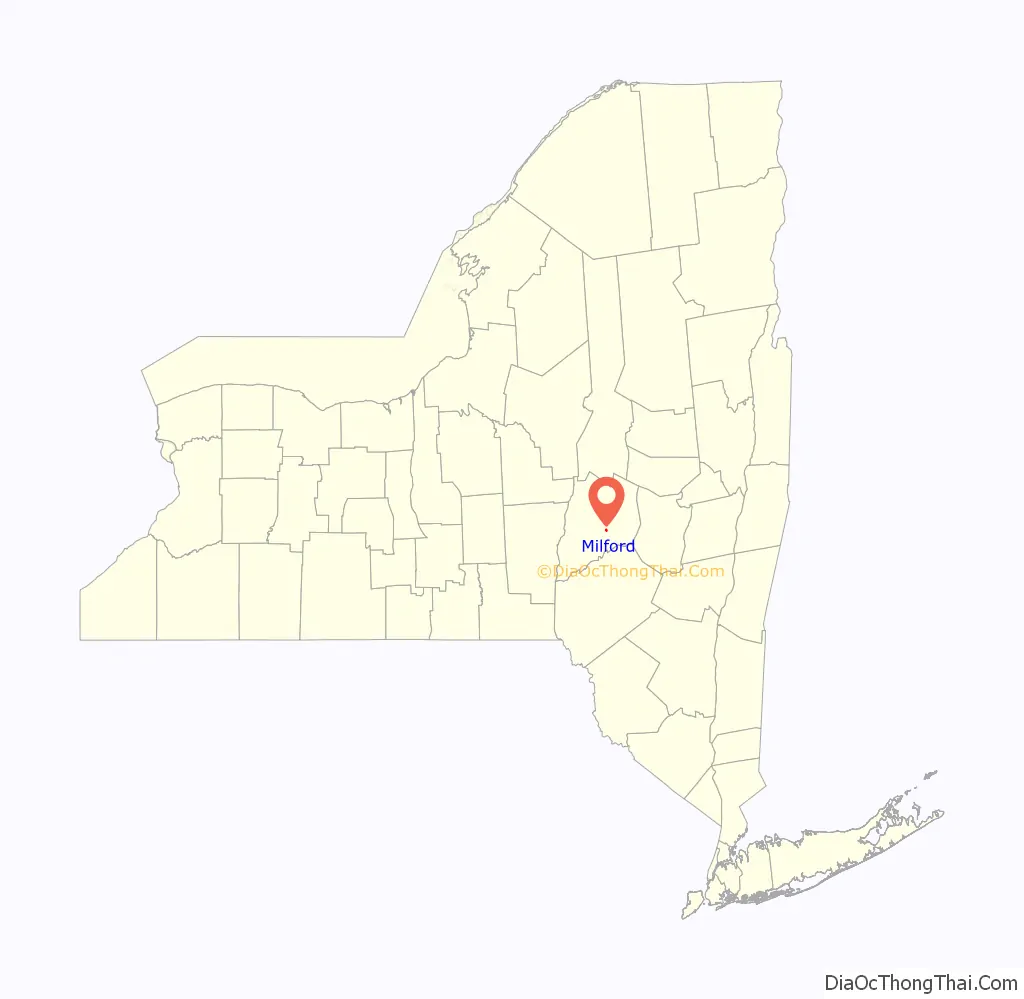
Milford location map. Where is Milford village?
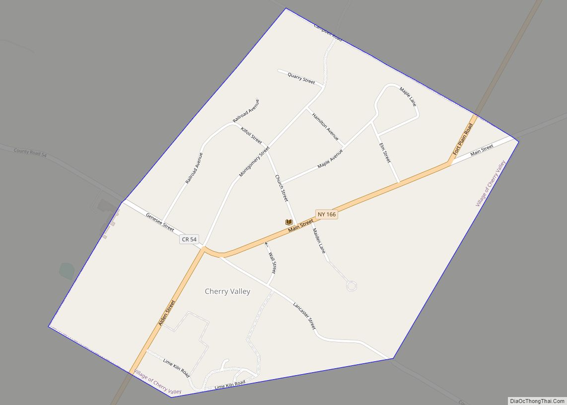
Milford Road Map
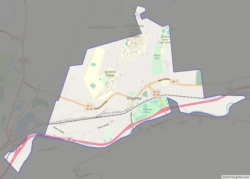
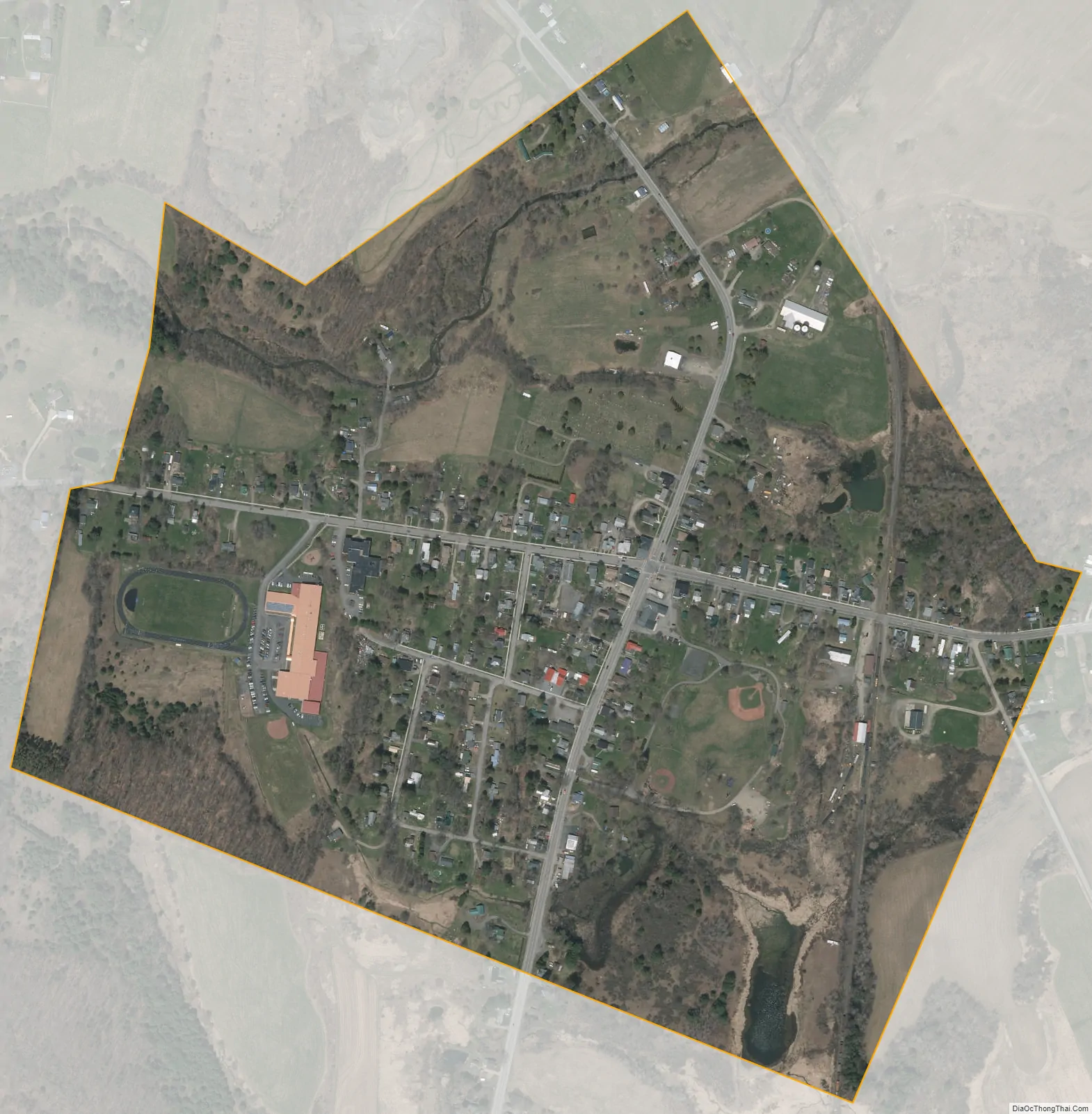
Milford city Satellite Map
Geography
According to the United States Census Bureau, the village has a total area of 0.5 square mile (1.2 km), all land.
The village is located on New York State Route 28 (North Main Street and South Main Street) at the intersection of New York State Route 166 (East Main Street) and County Highway 44 (West Main Street). NY 166 has its western terminus at this intersection.
See also
Map of New York State and its subdivision:- Albany
- Allegany
- Bronx
- Broome
- Cattaraugus
- Cayuga
- Chautauqua
- Chemung
- Chenango
- Clinton
- Columbia
- Cortland
- Delaware
- Dutchess
- Erie
- Essex
- Franklin
- Fulton
- Genesee
- Greene
- Hamilton
- Herkimer
- Jefferson
- Kings
- Lake Ontario
- Lewis
- Livingston
- Madison
- Monroe
- Montgomery
- Nassau
- New York
- Niagara
- Oneida
- Onondaga
- Ontario
- Orange
- Orleans
- Oswego
- Otsego
- Putnam
- Queens
- Rensselaer
- Richmond
- Rockland
- Saint Lawrence
- Saratoga
- Schenectady
- Schoharie
- Schuyler
- Seneca
- Steuben
- Suffolk
- Sullivan
- Tioga
- Tompkins
- Ulster
- Warren
- Washington
- Wayne
- Westchester
- Wyoming
- Yates
- Alabama
- Alaska
- Arizona
- Arkansas
- California
- Colorado
- Connecticut
- Delaware
- District of Columbia
- Florida
- Georgia
- Hawaii
- Idaho
- Illinois
- Indiana
- Iowa
- Kansas
- Kentucky
- Louisiana
- Maine
- Maryland
- Massachusetts
- Michigan
- Minnesota
- Mississippi
- Missouri
- Montana
- Nebraska
- Nevada
- New Hampshire
- New Jersey
- New Mexico
- New York
- North Carolina
- North Dakota
- Ohio
- Oklahoma
- Oregon
- Pennsylvania
- Rhode Island
- South Carolina
- South Dakota
- Tennessee
- Texas
- Utah
- Vermont
- Virginia
- Washington
- West Virginia
- Wisconsin
- Wyoming