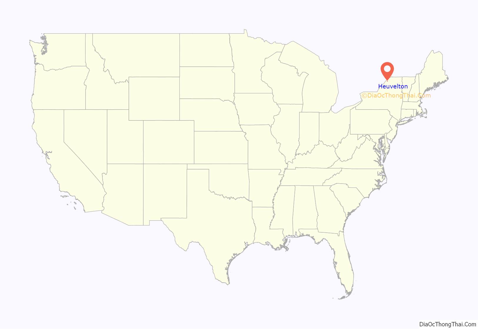
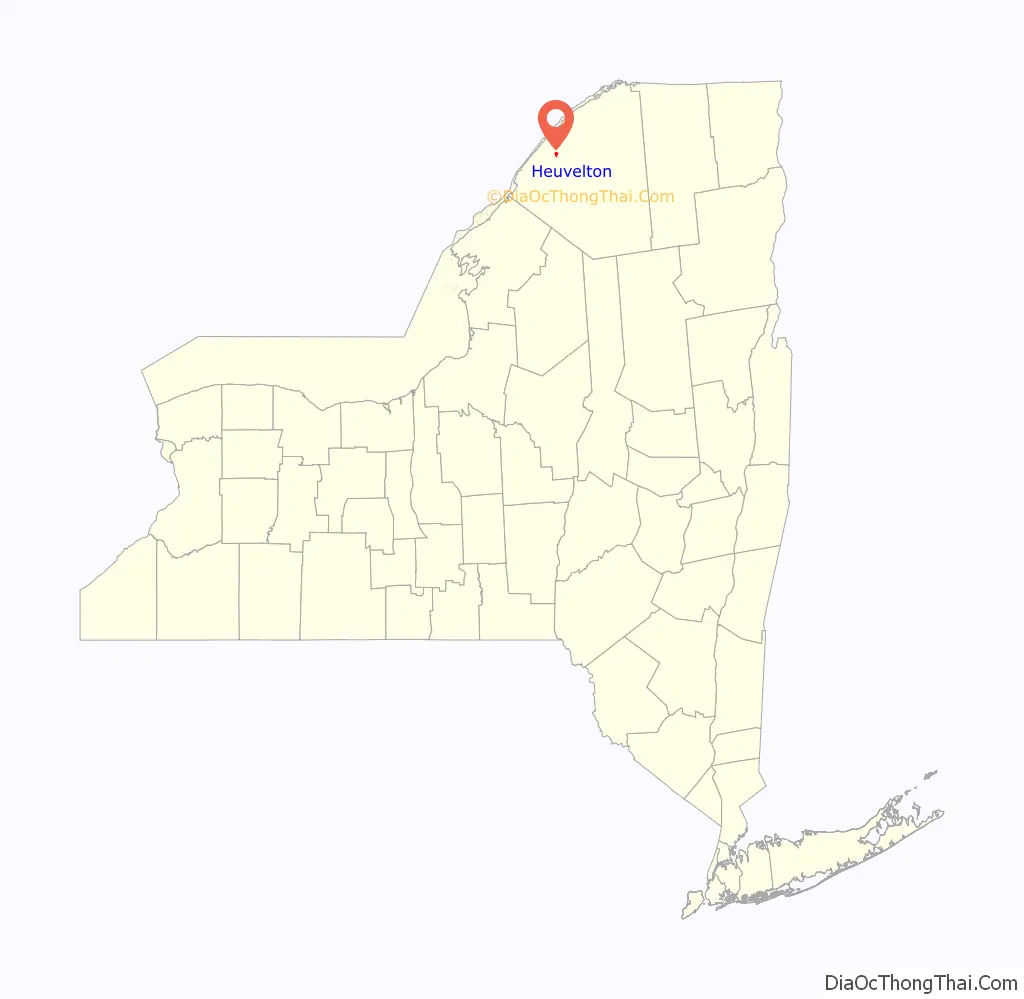
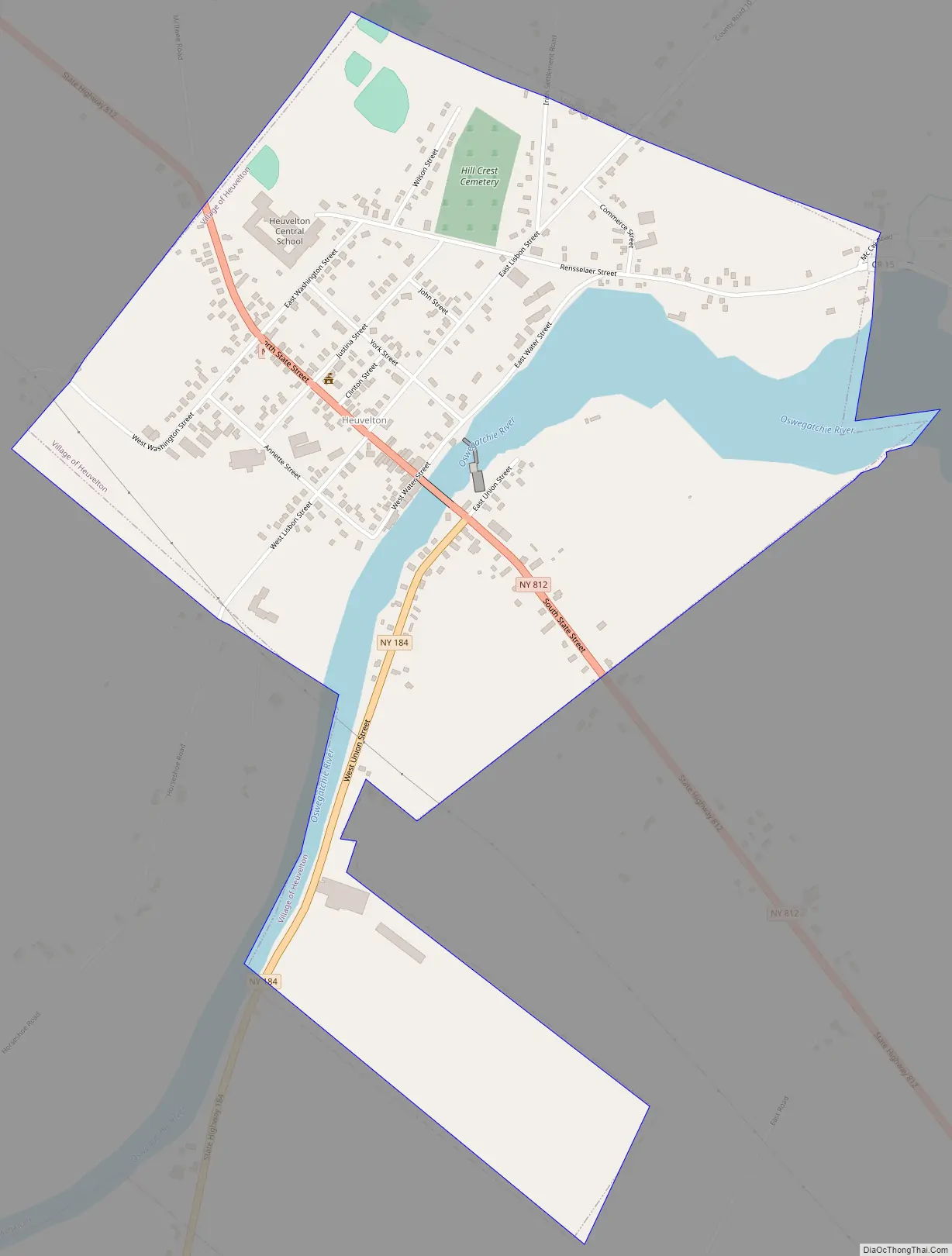
Heuvelton is a small rural, incorporated, village located in St. Lawrence County in the state of New York, United States. It is approximately six miles (9.7 km) southeast of the city of Ogdensburg, in the Town of Oswegatchie. It is the only village in the town. Route 812 bisects the village, and is named State Street within the village boundaries. As of the 2010 census, the village had a total population of 714.
| Name: | Heuvelton village |
|---|---|
| LSAD Code: | 47 |
| LSAD Description: | village (suffix) |
| State: | New York |
| County: | St. Lawrence County |
| Elevation: | 315 ft (96 m) |
| Total Area: | 0.87 sq mi (2.25 km²) |
| Land Area: | 0.76 sq mi (1.97 km²) |
| Water Area: | 0.11 sq mi (0.28 km²) |
| Total Population: | 722 |
| Population Density: | 948.75/sq mi (366.44/km²) |
| ZIP code: | 13654 |
| Area code: | 315 |
| FIPS code: | 3634264 |
| Website: | www.heuveltonny.us |
Online Interactive Map
Click on ![]() to view map in "full screen" mode.
to view map in "full screen" mode.
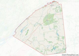
Heuvelton location map. Where is Heuvelton village?
History
Prior to settlement, a Native American tribe called the “Oswegatchie” inhabited the local area. The settlement that became Heuvelton was originally named “Fordsburgh” after Nathan Ford, the man who has since become known as the “Father of St. Lawrence County”. He is known to have established a second home in the village (principal home in Ogdensburg) and assisted in some of the area’s early development. Early on, the location was also called “East Branch,” in reference to its location on the east branch of the Oswegatchie River. The current name was assumed in 1832 to honor Jacob Van den Heuvel, an immigrant from The Netherlands, who invested in several extensive improvements including mill construction, marking the first notable economic growth in the early community.
The McCadam Cheese Company was founded in Heuvelton in 1876 by William McCadam. The Heuvelton packaging plant has closed.
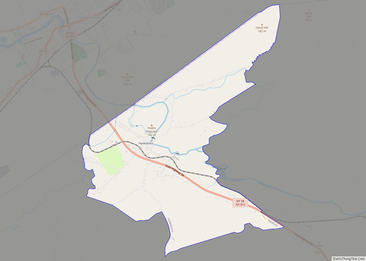
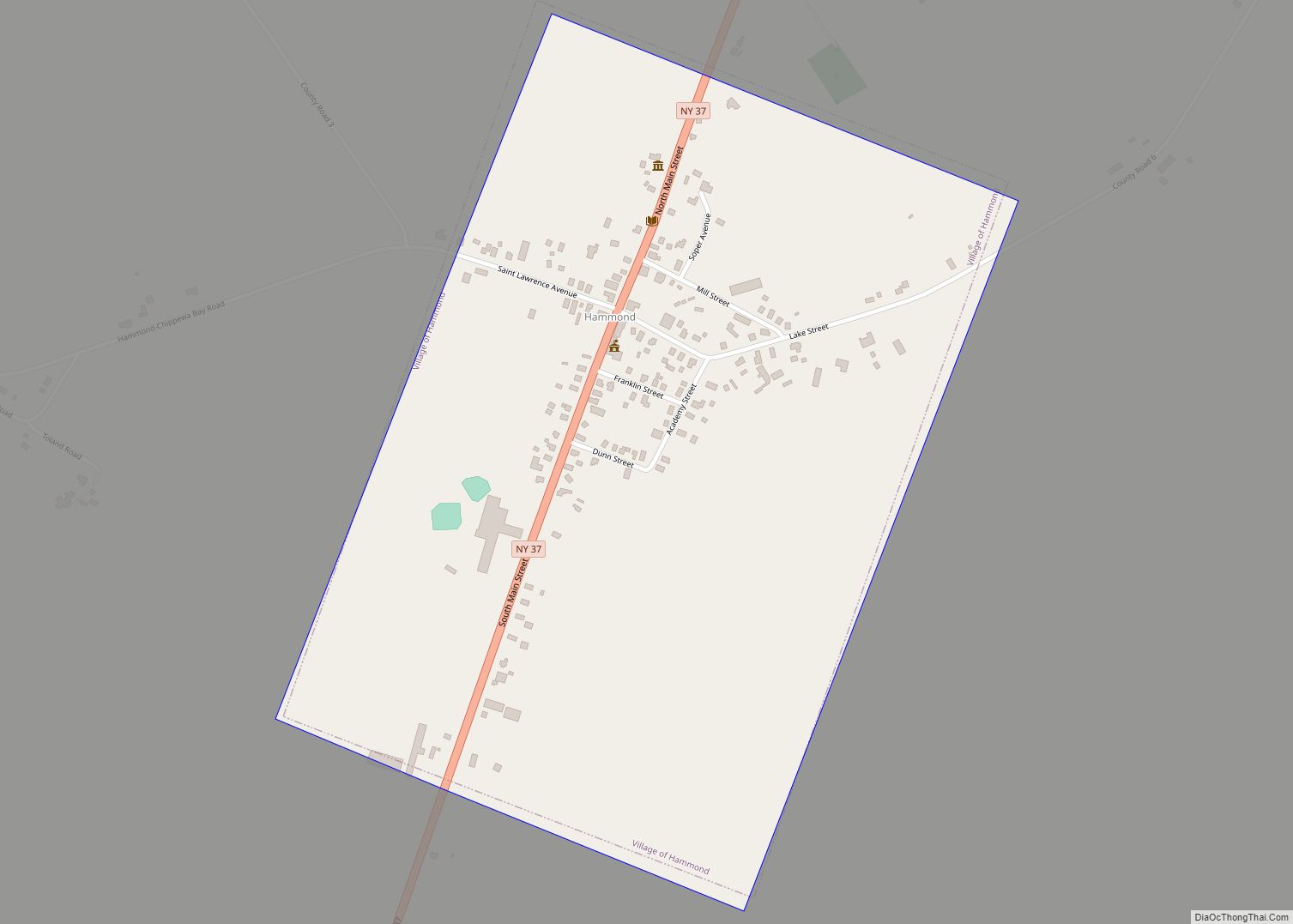
Heuvelton Road Map
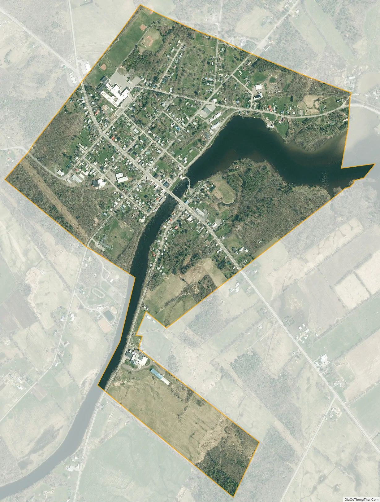
Heuvelton city Satellite Map
Geography
The Oswegatchie River flows through the village, with approximately two-thirds of the village, including the commercial district, lying on the northwest bank.
According to the United States Census Bureau, the village has a total area of 0.9 square miles (2.3 km), of which 0.8 square miles (2.1 km) is land and 0.1 square miles (0.26 km) (10.34%) is water.
See also
Map of New York State and its subdivision:- Albany
- Allegany
- Bronx
- Broome
- Cattaraugus
- Cayuga
- Chautauqua
- Chemung
- Chenango
- Clinton
- Columbia
- Cortland
- Delaware
- Dutchess
- Erie
- Essex
- Franklin
- Fulton
- Genesee
- Greene
- Hamilton
- Herkimer
- Jefferson
- Kings
- Lake Ontario
- Lewis
- Livingston
- Madison
- Monroe
- Montgomery
- Nassau
- New York
- Niagara
- Oneida
- Onondaga
- Ontario
- Orange
- Orleans
- Oswego
- Otsego
- Putnam
- Queens
- Rensselaer
- Richmond
- Rockland
- Saint Lawrence
- Saratoga
- Schenectady
- Schoharie
- Schuyler
- Seneca
- Steuben
- Suffolk
- Sullivan
- Tioga
- Tompkins
- Ulster
- Warren
- Washington
- Wayne
- Westchester
- Wyoming
- Yates
- Alabama
- Alaska
- Arizona
- Arkansas
- California
- Colorado
- Connecticut
- Delaware
- District of Columbia
- Florida
- Georgia
- Hawaii
- Idaho
- Illinois
- Indiana
- Iowa
- Kansas
- Kentucky
- Louisiana
- Maine
- Maryland
- Massachusetts
- Michigan
- Minnesota
- Mississippi
- Missouri
- Montana
- Nebraska
- Nevada
- New Hampshire
- New Jersey
- New Mexico
- New York
- North Carolina
- North Dakota
- Ohio
- Oklahoma
- Oregon
- Pennsylvania
- Rhode Island
- South Carolina
- South Dakota
- Tennessee
- Texas
- Utah
- Vermont
- Virginia
- Washington
- West Virginia
- Wisconsin
- Wyoming