Hillburn, originally called “Woodburn” and incorporated in 1893, is a village in the town of Ramapo, Rockland County, New York, United States. It is located north of Suffern, east of Orange County, south of Viola, and west of Montebello. It is considered to be one of the more rural communities in Rockland County. The population was 951 at the 2010 census.
| Name: | Hillburn village |
|---|---|
| LSAD Code: | 47 |
| LSAD Description: | village (suffix) |
| State: | New York |
| County: | Rockland County |
| Incorporated: | 1893 |
| Elevation: | 305 ft (93 m) |
| Total Area: | 2.25 sq mi (5.83 km²) |
| Land Area: | 2.23 sq mi (5.78 km²) |
| Water Area: | 0.02 sq mi (0.05 km²) |
| Total Population: | 930 |
| Population Density: | 416.29/sq mi (160.77/km²) |
| ZIP code: | 10931 |
| Area code: | 845 |
| FIPS code: | 3634660 |
| GNISfeature ID: | 0952811 |
| Website: | http://www.hillburn.org/ |
Online Interactive Map
Click on ![]() to view map in "full screen" mode.
to view map in "full screen" mode.
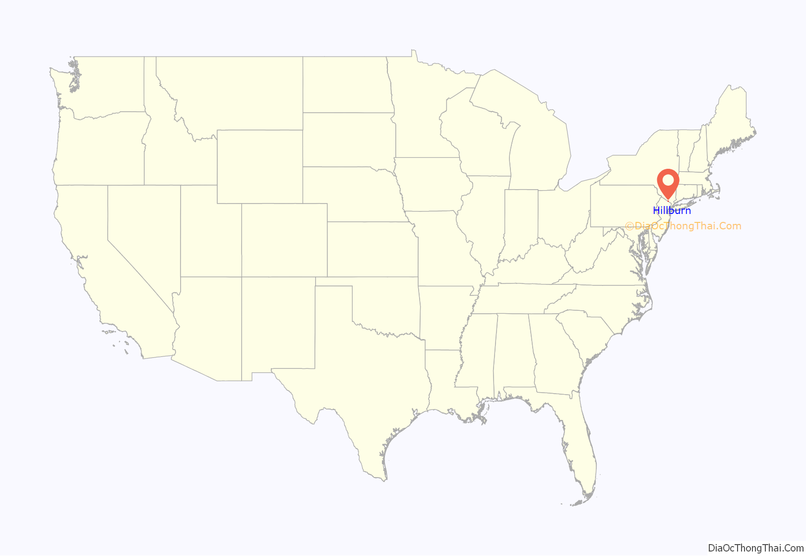
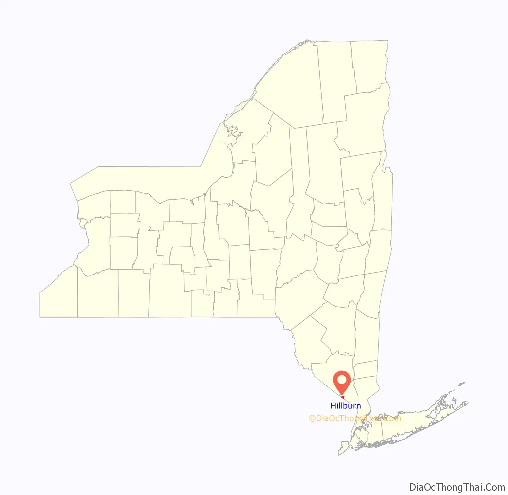
Hillburn location map. Where is Hillburn village?
History
In addition to later European-American migrants, the area was settled early by descendants of Lenape and other remnant groups, who eventually intermarried with Afro-Dutch and other ethnicities after the Revolutionary War. These multiracial descendants were recognized in 1980 by the state as the Ramapough Mountain Indians; they also have centers of population in Mahwah and Ringwood, New Jersey, which were areas of frontier in the eighteenth and early nineteenth centuries. For many years they lived by farming, hunting and fishing. They tended to marry within their community until the mid-twentieth century.
The village of Hillburn was founded in 1893; that year the first school in Hillburn was built on a plot of ground donated by J.B. Suffern.
Thurgood Marshall
In 1943, the attorney Thurgood Marshall won a disparity case regarding integration of the schools of Hillburn, 11 years before his landmark case of Brown v. Board of Education. He represented the village’s African-American parents. In 2010, the state legislature designated May 17 as Thurgood Marshall Day in honor of his work in civil rights. Mixed-race children who lived in the town of Ramapo attended the Brook School in Hillburn, a wood structure that did not have a library, indoor bathrooms or gymnasium. The Main School was reserved for white children and included a gymnasium, a library and indoor plumbing. It is now used as the headquarters of the Suffern Central School District. The Rockland African Diaspora Heritage Center in Pomona, New York, has an exhibit of artifacts and photographs loaned by a student who attended the Brook School. The student went on to college, and eventually taught English and history.
Hillburn Road Map

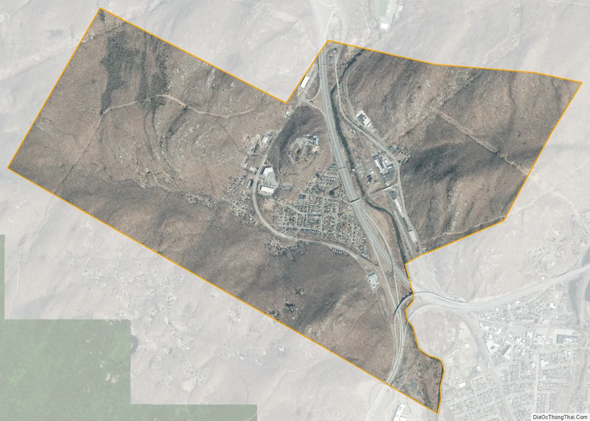
Hillburn city Satellite Map
Geography
Hillburn is adjacent to the New Jersey border, on the southeastern edge of the Ramapo Mountains. It is immediately south of Harriman and Sterling Forest state parks. The village is bisected by the Ramapo River. According to the United States Census Bureau, the village has a total area of 2.2 square miles (5.7 km), of which 2.2 square miles (5.7 km) is land and 0.04 square miles (0.10 km), or 0.89%, is water.
See also
Map of New York State and its subdivision:- Albany
- Allegany
- Bronx
- Broome
- Cattaraugus
- Cayuga
- Chautauqua
- Chemung
- Chenango
- Clinton
- Columbia
- Cortland
- Delaware
- Dutchess
- Erie
- Essex
- Franklin
- Fulton
- Genesee
- Greene
- Hamilton
- Herkimer
- Jefferson
- Kings
- Lake Ontario
- Lewis
- Livingston
- Madison
- Monroe
- Montgomery
- Nassau
- New York
- Niagara
- Oneida
- Onondaga
- Ontario
- Orange
- Orleans
- Oswego
- Otsego
- Putnam
- Queens
- Rensselaer
- Richmond
- Rockland
- Saint Lawrence
- Saratoga
- Schenectady
- Schoharie
- Schuyler
- Seneca
- Steuben
- Suffolk
- Sullivan
- Tioga
- Tompkins
- Ulster
- Warren
- Washington
- Wayne
- Westchester
- Wyoming
- Yates
- Alabama
- Alaska
- Arizona
- Arkansas
- California
- Colorado
- Connecticut
- Delaware
- District of Columbia
- Florida
- Georgia
- Hawaii
- Idaho
- Illinois
- Indiana
- Iowa
- Kansas
- Kentucky
- Louisiana
- Maine
- Maryland
- Massachusetts
- Michigan
- Minnesota
- Mississippi
- Missouri
- Montana
- Nebraska
- Nevada
- New Hampshire
- New Jersey
- New Mexico
- New York
- North Carolina
- North Dakota
- Ohio
- Oklahoma
- Oregon
- Pennsylvania
- Rhode Island
- South Carolina
- South Dakota
- Tennessee
- Texas
- Utah
- Vermont
- Virginia
- Washington
- West Virginia
- Wisconsin
- Wyoming


