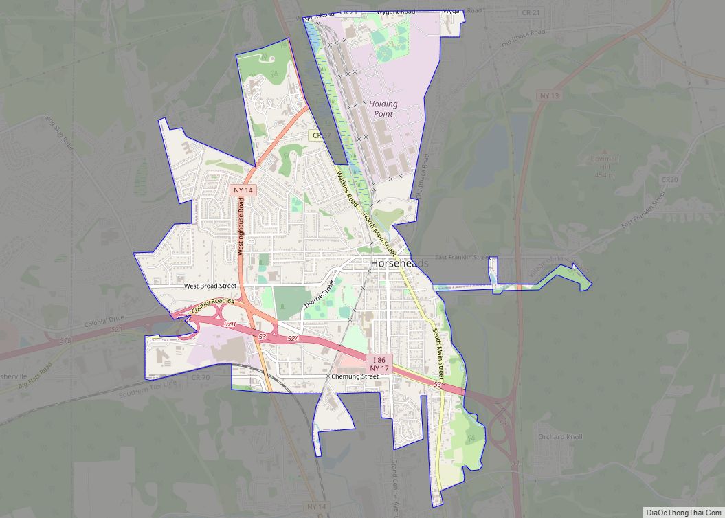
Horseheads is a village in Chemung County, New York, United States. The population was 6,606 at the 2020 census. The name is derived from the number of bleached skulls of pack horses left behind by the Sullivan Expedition.
The village of Horseheads is located within the town of Horseheads. It is north of the city of Elmira and is part of the Elmira Metropolitan Statistical Area.
| Name: | Horseheads village |
|---|---|
| LSAD Code: | 47 |
| LSAD Description: | village (suffix) |
| State: | New York |
| County: | Chemung County |
| Elevation: | 896 ft (273 m) |
| Total Area: | 3.91 sq mi (10.12 km²) |
| Land Area: | 3.89 sq mi (10.08 km²) |
| Water Area: | 0.01 sq mi (0.04 km²) |
| Total Population: | 6,606 |
| Population Density: | 1,696.89/sq mi (655.09/km²) |
| ZIP code: | 14844-14845 |
| Area code: | 607 |
| FIPS code: | 3635694 |
| GNISfeature ID: | 0953232 |
| Website: | horseheads.org |
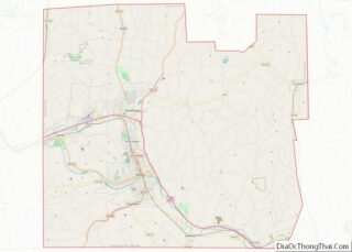
Online Interactive Map
Click on ![]() to view map in "full screen" mode.
to view map in "full screen" mode.
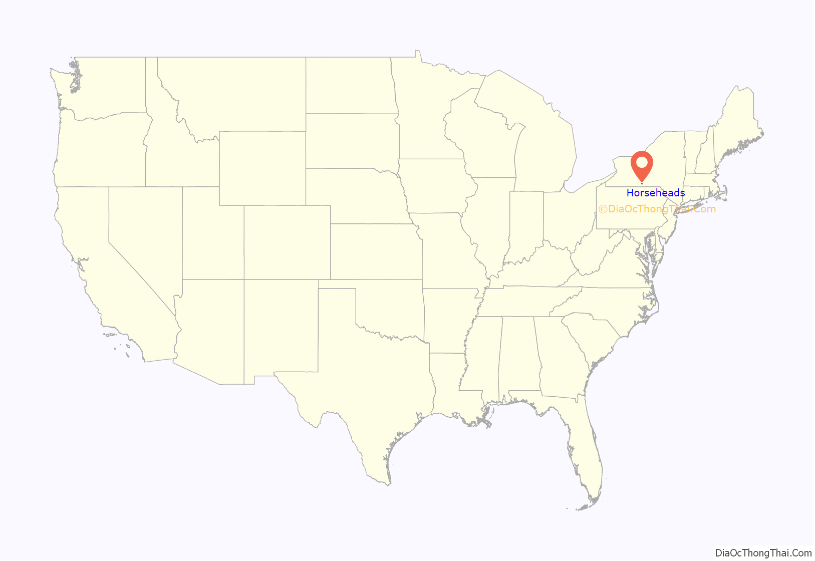
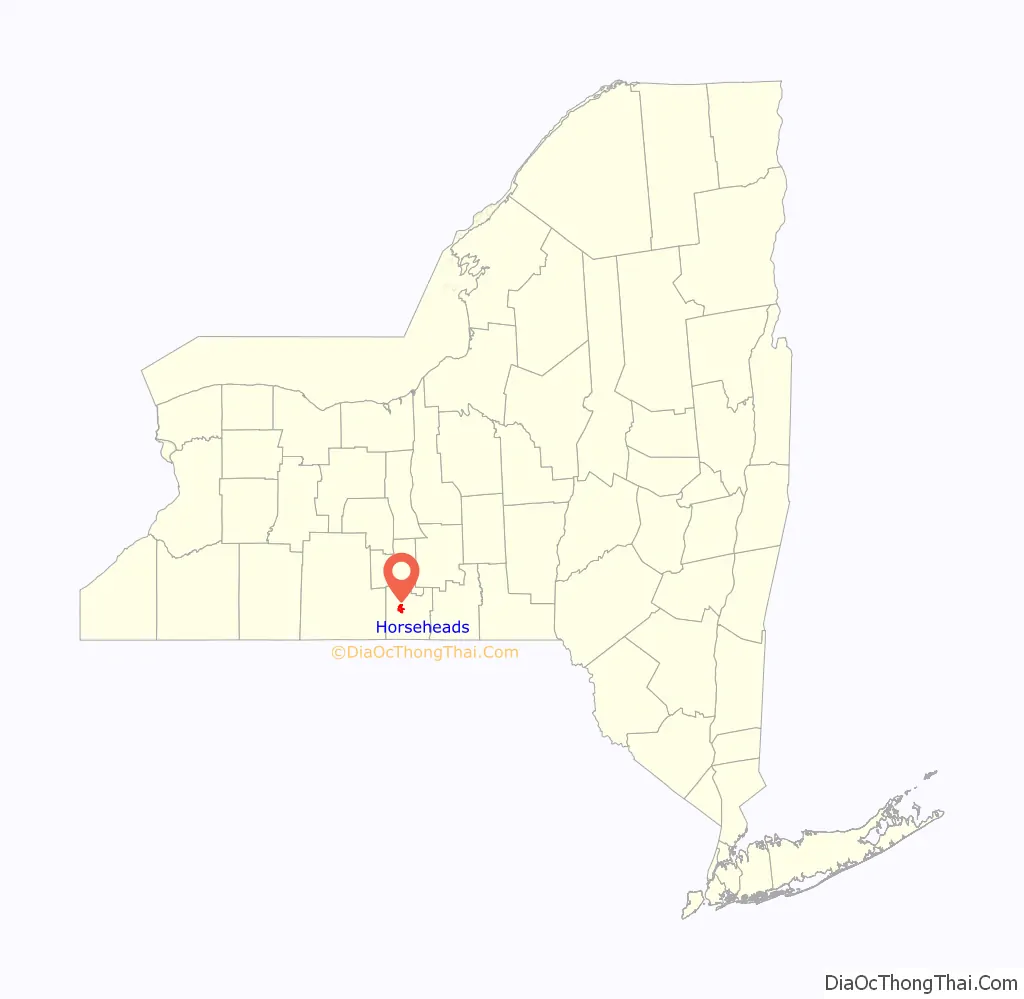
Horseheads location map. Where is Horseheads village?
History
In September 1779, forces under General John Sullivan marched north 450 miles (720 km) from Easton, Pennsylvania, over to Wyoming, Pennsylvania, and on up the Susquehanna River to Newtown (Elmira), then continued north through what is now known as Horseheads to the Finger Lakes region and west to Genesee, on a scorched-earth mission against Loyalists and more significantly against their Iroquois allies. They returned about three weeks later, largely on the same route.
The journey had been particularly severe and wearing upon the animals, and their food supply was found insufficient. Arriving about 6 miles (10 km) north of Fort Reid on September 24, 1779, they were obliged to dispose of a large number of sick and disabled horses. The number of horses was so great that they were quite noticeable, and the surviving Iroquois collected the skulls and arranged them in a line along the trail. From that time forward, that spot was referred to as the “Valley of the Horses’ Heads” and is still known by the name given to it by the Iroquois. Today this area is part of the heartland of Upstate New York, across which thirty-five monoliths mark the path of Sullivan’s troops and the locations of the Iroquois villages they razed dotting the region, erected by the New York State Education Department in 1929 to commemorate the 150th anniversary of the expedition.
The settlement of the village area began around 1830. The village was officially incorporated in 1839 as the “Village of Fairport,” due to its location on the Chemung Canal, but changed its name back to “Horseheads” in 1845. In 1885, it was renamed “North Elmira” but the village resumed the original name, “Horseheads” in 1886.
The village was once a port on the Chemung Canal.
The Chemung Railway Depot-Horseheads, Hanover Square Historic District, Horseheads 1855 Extension Historic District, Teal Park, and Zimmerman House are listed on the National Register of Historic Places.
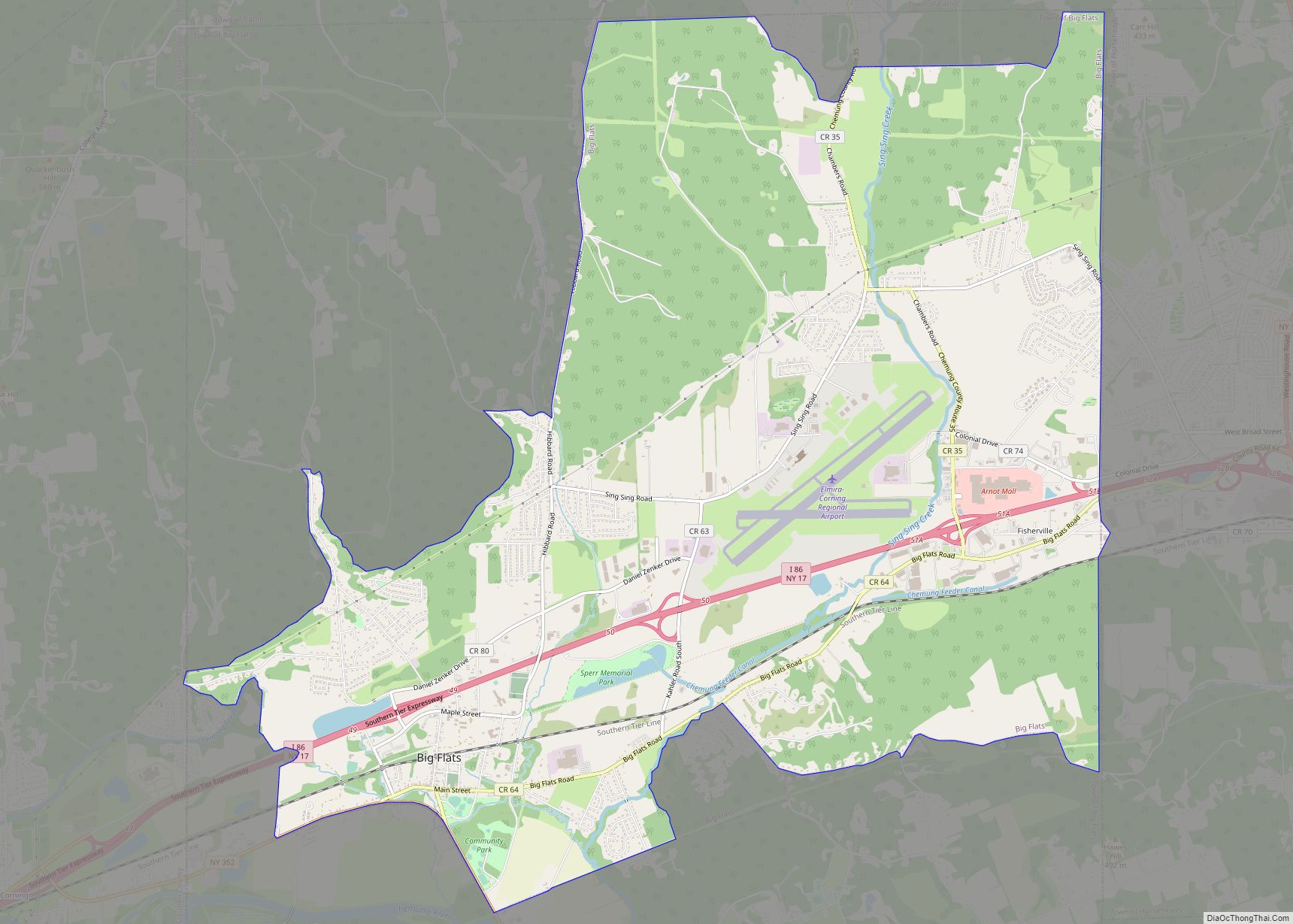
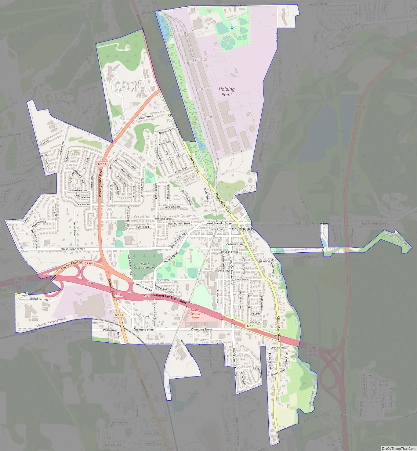
Horseheads Road Map
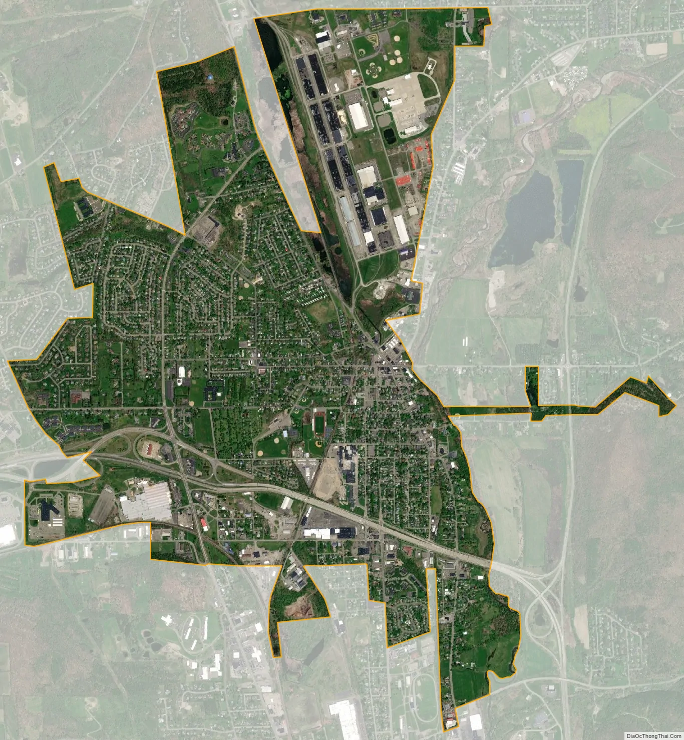
Horseheads city Satellite Map
Geography
Horseheads village is in the Southern Tier Region of New York, 5 miles (8 km) north of downtown Elmira. It is located at a low point on the St. Lawrence Continental Divide separating the Susquehanna River watershed to the south and the Lake Ontario watershed to the north. Newtown Creek on the east side of the village flows south toward the Chemung River, a tributary of the Susquehanna, while the northernmost part of the village drains north to Catharine Creek, the main tributary of Seneca Lake, one of the Finger Lakes.
According to the United States Census Bureau, the village has a total area of 3.9 square miles (10.1 km), of which 0.02 square miles (0.04 km), or 0.38%, is water.
New York State Route 17 and Interstate 86 pass through the village, with access from exits 52 and 53. New York State Route 14, a north-south highway, intersects State Route 17 in the village. New York State Route 13 intersects State Route 17 east of the village.
See also
Map of New York State and its subdivision:- Albany
- Allegany
- Bronx
- Broome
- Cattaraugus
- Cayuga
- Chautauqua
- Chemung
- Chenango
- Clinton
- Columbia
- Cortland
- Delaware
- Dutchess
- Erie
- Essex
- Franklin
- Fulton
- Genesee
- Greene
- Hamilton
- Herkimer
- Jefferson
- Kings
- Lake Ontario
- Lewis
- Livingston
- Madison
- Monroe
- Montgomery
- Nassau
- New York
- Niagara
- Oneida
- Onondaga
- Ontario
- Orange
- Orleans
- Oswego
- Otsego
- Putnam
- Queens
- Rensselaer
- Richmond
- Rockland
- Saint Lawrence
- Saratoga
- Schenectady
- Schoharie
- Schuyler
- Seneca
- Steuben
- Suffolk
- Sullivan
- Tioga
- Tompkins
- Ulster
- Warren
- Washington
- Wayne
- Westchester
- Wyoming
- Yates
- Alabama
- Alaska
- Arizona
- Arkansas
- California
- Colorado
- Connecticut
- Delaware
- District of Columbia
- Florida
- Georgia
- Hawaii
- Idaho
- Illinois
- Indiana
- Iowa
- Kansas
- Kentucky
- Louisiana
- Maine
- Maryland
- Massachusetts
- Michigan
- Minnesota
- Mississippi
- Missouri
- Montana
- Nebraska
- Nevada
- New Hampshire
- New Jersey
- New Mexico
- New York
- North Carolina
- North Dakota
- Ohio
- Oklahoma
- Oregon
- Pennsylvania
- Rhode Island
- South Carolina
- South Dakota
- Tennessee
- Texas
- Utah
- Vermont
- Virginia
- Washington
- West Virginia
- Wisconsin
- Wyoming