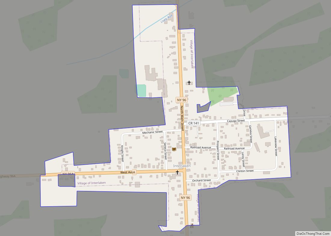
Interlaken is a village in Seneca County, New York, United States. The population was 602 at the 2010 census. The name is related to the village’s position between two lakes.
The Village of Interlaken is in the northern part of the Town of Covert and is northwest of Ithaca, New York.
| Name: | Interlaken village |
|---|---|
| LSAD Code: | 47 |
| LSAD Description: | village (suffix) |
| State: | New York |
| County: | Seneca County |
| Incorporated: | March 2, 1904 |
| Elevation: | 906 ft (276 m) |
| Total Area: | 0.31 sq mi (0.80 km²) |
| Land Area: | 0.31 sq mi (0.80 km²) |
| Water Area: | 0.00 sq mi (0.00 km²) |
| Total Population: | 595 |
| Population Density: | 1,938.11/sq mi (748.28/km²) |
| ZIP code: | 14847 |
| Area code: | 607 |
| FIPS code: | 3637528 |
| GNISfeature ID: | 0974030 |
| Website: | http://www.interlaken-ny.us/ |
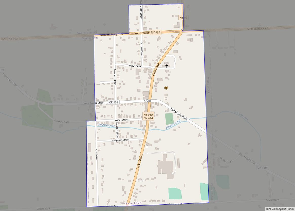
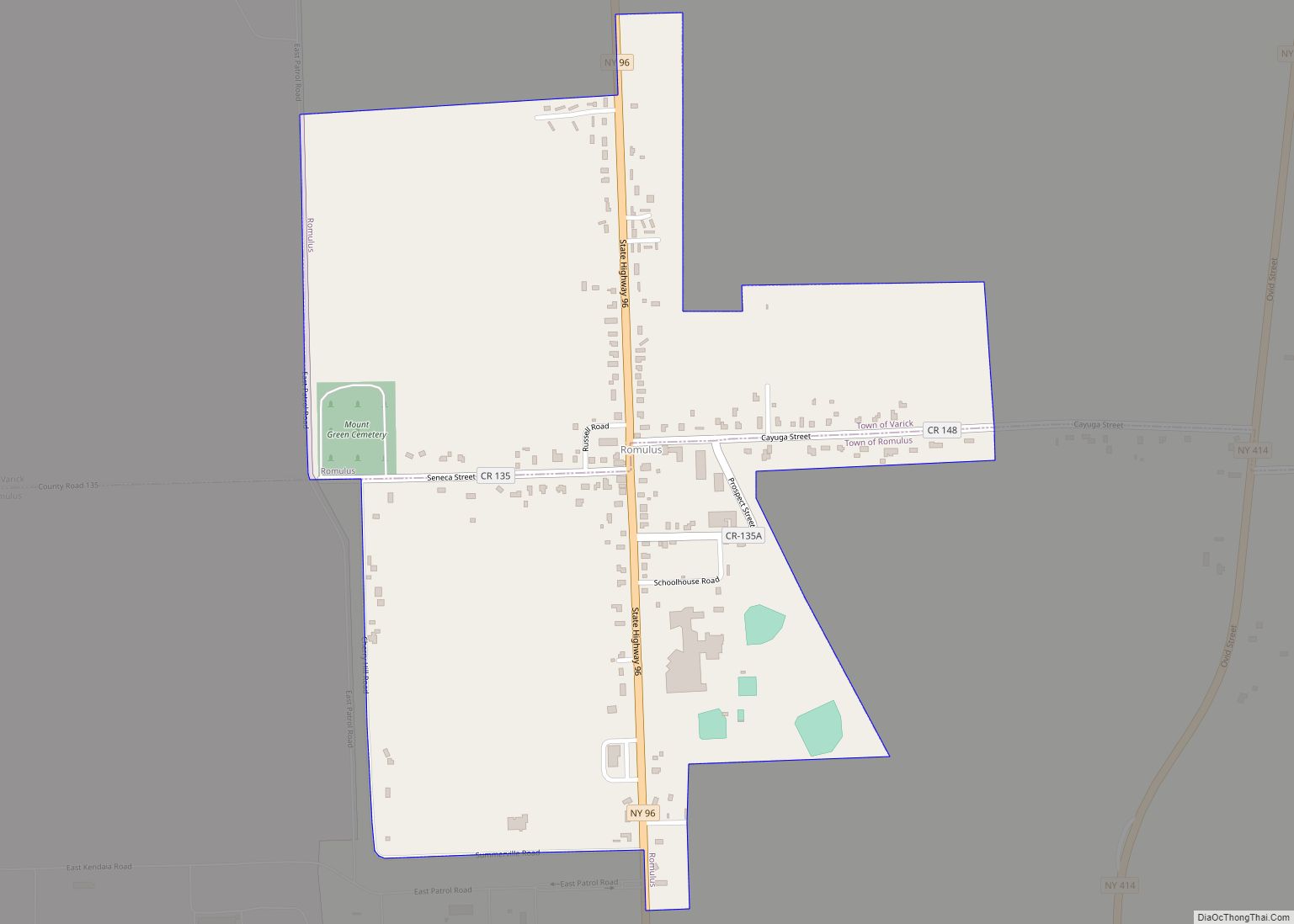
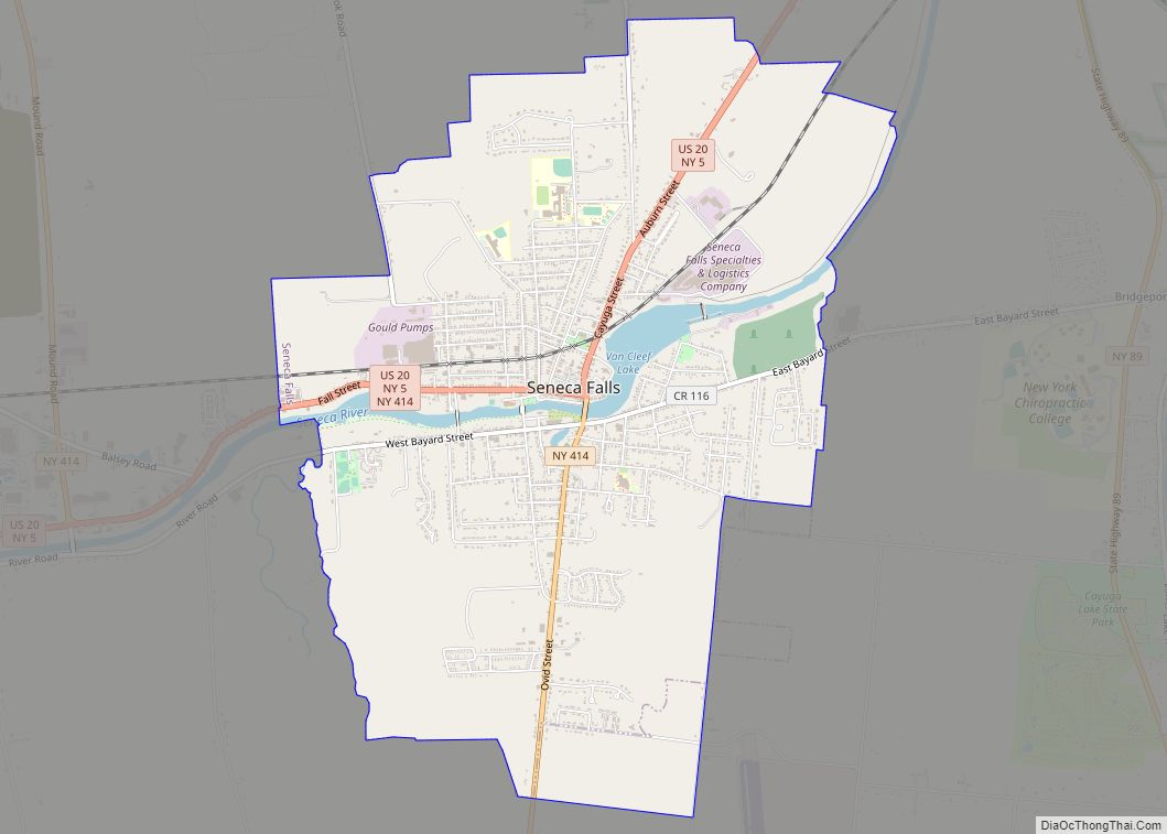
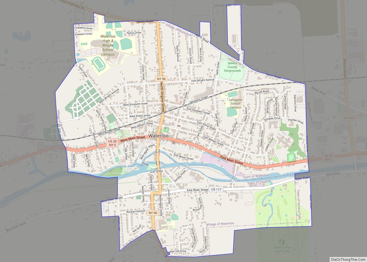
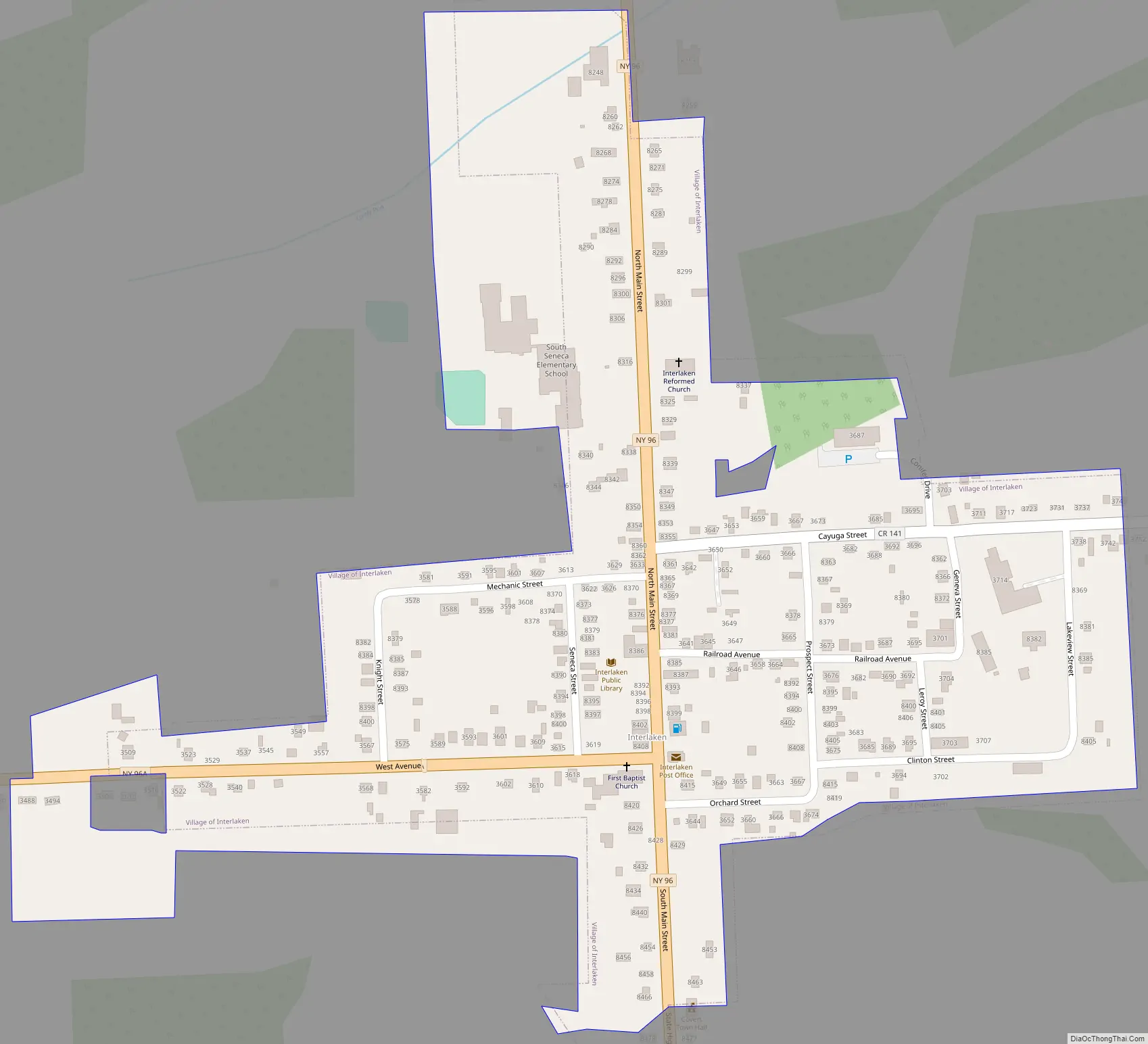
Online Interactive Map
Click on ![]() to view map in "full screen" mode.
to view map in "full screen" mode.
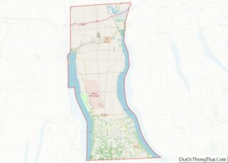
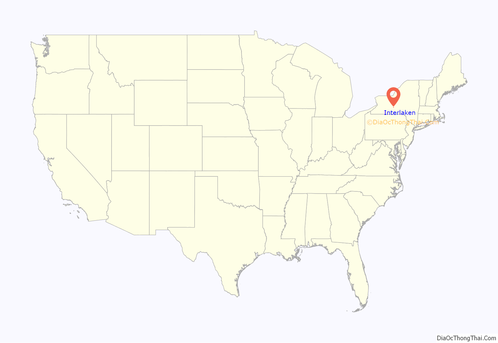
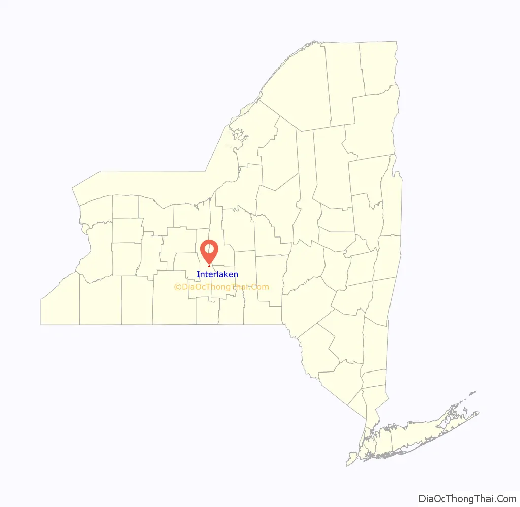
Interlaken location map. Where is Interlaken village?
History
First settled in the late 1790s and early 1800s, the Village of Interlaken was home to many families from the New England and New Jersey areas. Early businesses included hotels, blacksmiths, post office, bank, and in time the railroad station. All designed to support the local families and the farmers from the surrounding area.
Four churches were established to serve the community, Union Baptist in 1819, Reformed Church of Farmerville in 1830, a Universalist church in 1850 and St. Francis Solanus Catholic Church in 1874. The First Baptist Church of Interlaken was listed on the National Register of Historic Places in 2002.
Originally called Farmerville, then Farmer, and Farmer Village the hamlet continued to grow. Prosperous homes were built on Main Street, Lodi Street (now West Avenue), and along the side streets. LeRoy, Lake View, Clinton and Knight Streets were the last to be added.
In 1904 two events occurred in close proximity. With the increase in summer travelers coming to the area on the Lehigh Valley Railroad there was a movement to rename the railroad depot something more than Farmer. The Railroad sponsored a contest to suggest names for the station and a school teacher, Miss Georgiana Wheeler, suggested the name of Interlaken based on her travels to Switzerland. The residents of the village were also working to establish the community as an incorporated village. Several names were suggested and votes taken. In a spirit of unity the Farmer Review encouraged the members of the village to unite behind the name Interlaken. On March 2, 1904, the Village was incorporated, and the following Saturday the Interlaken Review replaced the Farmer Review.
The look of Main Street changed over the years with major fires in December 1880 when much of the south end of business Main Street burned; in February 1891 when the Gambee House burned, it would be replaced with the Goodman House; in April 1926 when the warehouse at the corner of Orchard and Main burned and when the Robinson Hotel burned in February 1939.
Many businesses remain in and near the Village, continuing the tradition of serving the needs of the community and surrounding area.
Interlaken Road Map
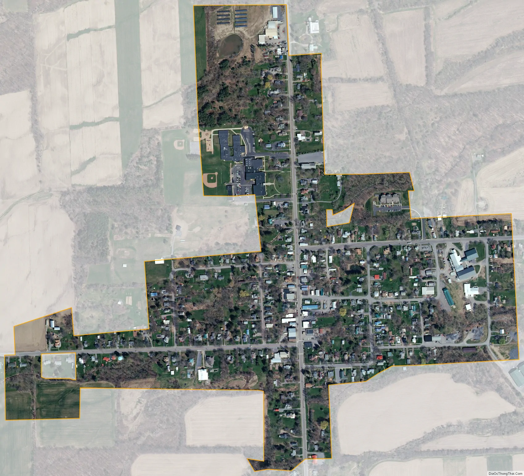
Interlaken city Satellite Map
Geography
Interlaken is located at 42°37′05″N 76°43′27″W / 42.618012°N 76.724229°W / 42.618012; -76.724229.
According to the United States Census Bureau, the village has a total area of 0.3 square miles (0.78 km), all of it land.
Interlaken is at the junction of New York State Route 96, New York State Route 96A, and County Road 141.
Interlaken is in the Finger Lakes District and is between, but not adjacent to, Seneca Lake and Cayuga Lake.
See also
Map of New York State and its subdivision:- Albany
- Allegany
- Bronx
- Broome
- Cattaraugus
- Cayuga
- Chautauqua
- Chemung
- Chenango
- Clinton
- Columbia
- Cortland
- Delaware
- Dutchess
- Erie
- Essex
- Franklin
- Fulton
- Genesee
- Greene
- Hamilton
- Herkimer
- Jefferson
- Kings
- Lake Ontario
- Lewis
- Livingston
- Madison
- Monroe
- Montgomery
- Nassau
- New York
- Niagara
- Oneida
- Onondaga
- Ontario
- Orange
- Orleans
- Oswego
- Otsego
- Putnam
- Queens
- Rensselaer
- Richmond
- Rockland
- Saint Lawrence
- Saratoga
- Schenectady
- Schoharie
- Schuyler
- Seneca
- Steuben
- Suffolk
- Sullivan
- Tioga
- Tompkins
- Ulster
- Warren
- Washington
- Wayne
- Westchester
- Wyoming
- Yates
- Alabama
- Alaska
- Arizona
- Arkansas
- California
- Colorado
- Connecticut
- Delaware
- District of Columbia
- Florida
- Georgia
- Hawaii
- Idaho
- Illinois
- Indiana
- Iowa
- Kansas
- Kentucky
- Louisiana
- Maine
- Maryland
- Massachusetts
- Michigan
- Minnesota
- Mississippi
- Missouri
- Montana
- Nebraska
- Nevada
- New Hampshire
- New Jersey
- New Mexico
- New York
- North Carolina
- North Dakota
- Ohio
- Oklahoma
- Oregon
- Pennsylvania
- Rhode Island
- South Carolina
- South Dakota
- Tennessee
- Texas
- Utah
- Vermont
- Virginia
- Washington
- West Virginia
- Wisconsin
- Wyoming