Lido Beach is a hamlet and census-designated place (CDP) in Nassau County, New York, United States. The population was 2,897 at the 2010 census.
Lido Beach is located in the Town of Hempstead.
| Name: | Lido Beach CDP |
|---|---|
| LSAD Code: | 57 |
| LSAD Description: | CDP (suffix) |
| State: | New York |
| County: | Nassau County |
| Elevation: | 0 ft (0 m) |
| Total Area: | 4.42 sq mi (11.45 km²) |
| Land Area: | 1.69 sq mi (4.38 km²) |
| Water Area: | 2.73 sq mi (7.07 km²) |
| Total Population: | 2,719 |
| Population Density: | 1,606.02/sq mi (620.25/km²) |
| ZIP code: | 11561 |
| Area code: | 516 |
| FIPS code: | 3642279 |
| GNISfeature ID: | 0955289 |
Online Interactive Map
Click on ![]() to view map in "full screen" mode.
to view map in "full screen" mode.
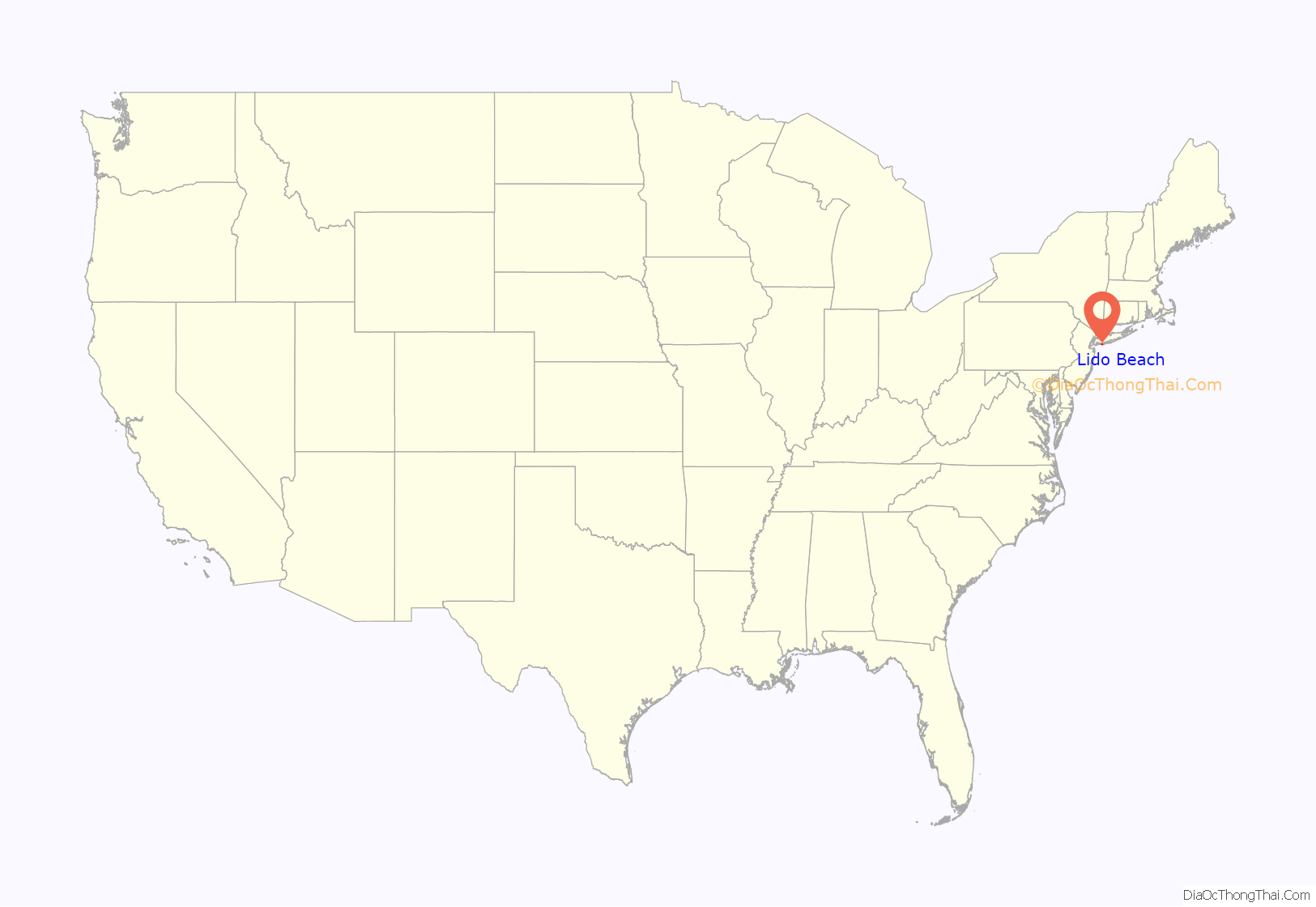
Lido Beach location map. Where is Lido Beach CDP?

History
Lido Beach was developed by William H. Reynolds, in the early 1900s. The 39-year-old former state senator and real estate developer had already developed four Brooklyn neighborhoods (Bedford-Stuyvesant, Borough Park, Bensonhurst, and South Brownsville), as well as Coney Island’s Dreamland, the world’s largest amusement park. Reynolds also owned a theater and produced plays.
Beginning in 1906, he gathered investors and acquired the oceanfront from private owners and the rest of Long Beach island from the Town of Hempstead in 1907; he planned to build a boardwalk, homes, and hotels, and dredged Reynolds Channel to create the Long Beach, New York resort area. The dredging made the island more accessible to leisure boating.
The Lido Beach community was named after a villa in Venice, Italy. In 1929, after Reynolds was defeated for re-election as the Long Beach mayor, he turned his attention to the unincorporated area just east of the city and constructed the Moorish-style Lido Beach Hotel.
Lido Beach Road Map

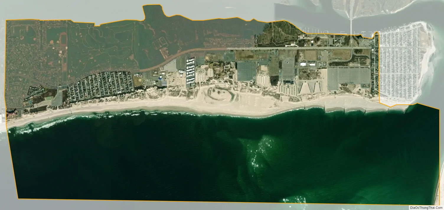
Lido Beach city Satellite Map
Geography
Lido Beach is located at 40°35′17″N 73°37′29″W / 40.58806°N 73.62472°W / 40.58806; -73.62472 (40.587988, -73.624624), between Long Beach and Point Lookout.
According to the United States Census Bureau, the CDP has a total area of 4.3 square miles (11 km), of which 1.7 square miles (4.4 km) is land and 2.5 square miles (6.5 km) (59.62%) is water.
See also
Map of New York State and its subdivision:- Albany
- Allegany
- Bronx
- Broome
- Cattaraugus
- Cayuga
- Chautauqua
- Chemung
- Chenango
- Clinton
- Columbia
- Cortland
- Delaware
- Dutchess
- Erie
- Essex
- Franklin
- Fulton
- Genesee
- Greene
- Hamilton
- Herkimer
- Jefferson
- Kings
- Lake Ontario
- Lewis
- Livingston
- Madison
- Monroe
- Montgomery
- Nassau
- New York
- Niagara
- Oneida
- Onondaga
- Ontario
- Orange
- Orleans
- Oswego
- Otsego
- Putnam
- Queens
- Rensselaer
- Richmond
- Rockland
- Saint Lawrence
- Saratoga
- Schenectady
- Schoharie
- Schuyler
- Seneca
- Steuben
- Suffolk
- Sullivan
- Tioga
- Tompkins
- Ulster
- Warren
- Washington
- Wayne
- Westchester
- Wyoming
- Yates
- Alabama
- Alaska
- Arizona
- Arkansas
- California
- Colorado
- Connecticut
- Delaware
- District of Columbia
- Florida
- Georgia
- Hawaii
- Idaho
- Illinois
- Indiana
- Iowa
- Kansas
- Kentucky
- Louisiana
- Maine
- Maryland
- Massachusetts
- Michigan
- Minnesota
- Mississippi
- Missouri
- Montana
- Nebraska
- Nevada
- New Hampshire
- New Jersey
- New Mexico
- New York
- North Carolina
- North Dakota
- Ohio
- Oklahoma
- Oregon
- Pennsylvania
- Rhode Island
- South Carolina
- South Dakota
- Tennessee
- Texas
- Utah
- Vermont
- Virginia
- Washington
- West Virginia
- Wisconsin
- Wyoming


