Point Lookout is a hamlet and census-designated place (CDP) located in the town of Hempstead in Nassau County, New York, United States. The population was 1,219 at the time of the 2010 census. The town is mostly made up of residential homes, with several small businesses on Lido Boulevard. The town is surrounded on three sides by water. Today, Point Lookout has become a popular location for summer residences. Among its inhabitants, it is commonly referred to as “PLO”.
| Name: | Point Lookout CDP |
|---|---|
| LSAD Code: | 57 |
| LSAD Description: | CDP (suffix) |
| State: | New York |
| County: | Nassau County |
| Elevation: | 3 ft (1 m) |
| Total Area: | 0.38 sq mi (0.97 km²) |
| Land Area: | 0.27 sq mi (0.70 km²) |
| Water Area: | 0.10 sq mi (0.27 km²) |
| Total Population: | 1,527 |
| Population Density: | 5,634.69/sq mi (2,175.16/km²) |
| ZIP code: | 11569 |
| Area code: | 516 |
| FIPS code: | 3658849 |
| GNISfeature ID: | 0960827 |
Online Interactive Map
Click on ![]() to view map in "full screen" mode.
to view map in "full screen" mode.
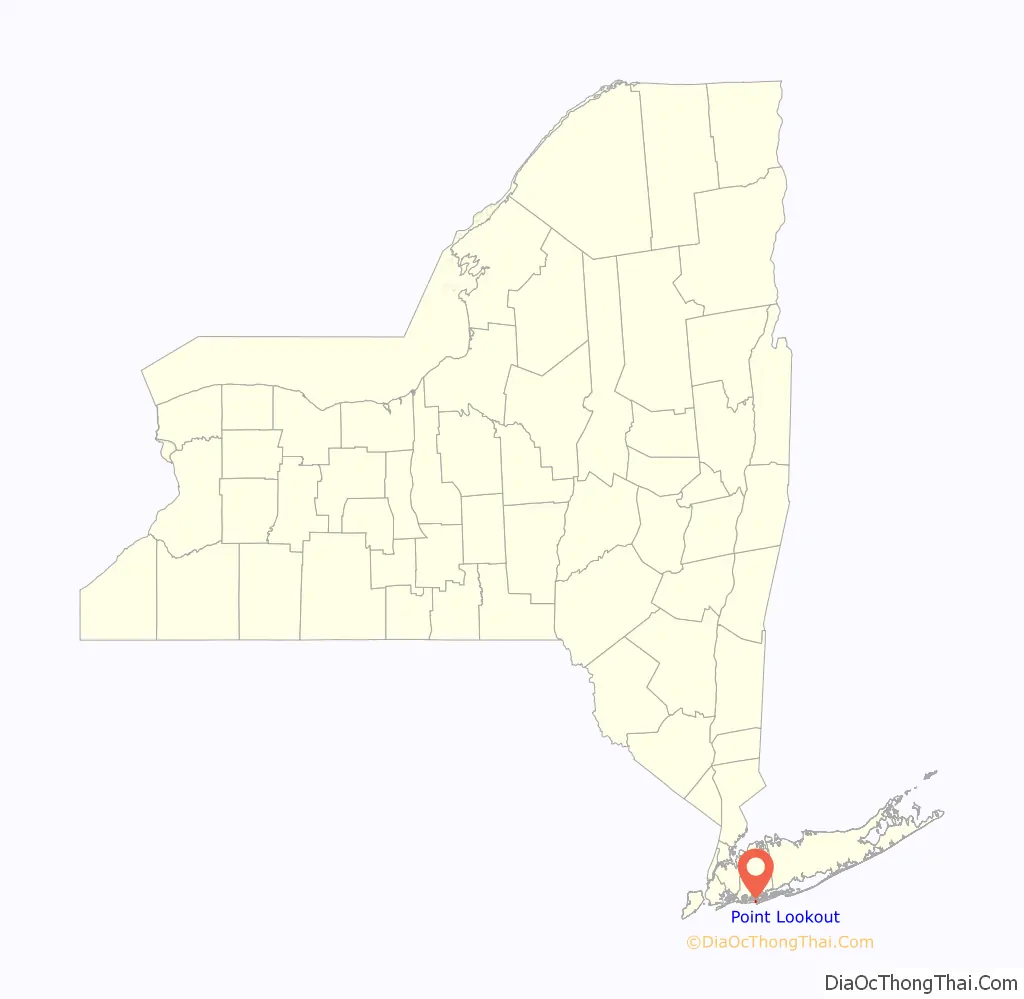
Point Lookout location map. Where is Point Lookout CDP?

History
Point Lookout’s first known inhabitants were Merrick (Meroke) Native Americans, a tribe of the Algonquin people. The first European settlers in Point Lookout were Dutch, who arrived in the 1640s, followed by the English, in the 1660s.
The barrier beach on which Point Lookout sits has been, in one incarnation or another, there for hundreds, if not thousands of years. The first mention of Point Lookout begins to appear in the mid-19th century, as a location for whalers, and as a dangerous spot for ships. A U.S. Life Saving Station was established at Point Lookout in 1872; ironically, it was due to the tragic wreck of the U.S.S. Mexico on January 2, 1837, that a U.S. Life Saving Service was created; the service remained there until farmers grew salt hay on the marshes that stretch behind the site.
A series of hotel and seasonal bungalows was built, as was a seasonal railroad connecting Point Lookout to Long Beach, but nearly all these structures were destroyed over time by either winter storms or fire. During the summer months ferries from the Woodcleft Canal in Freeport brought hundreds of day-trippers to Point Lookout’s beaches, and for those who lived in Point Lookout, or in the small community to the east called Nassau By the Sea, the barrier island was a paradise.
In 1906, Senator William Reynolds of Brooklyn led a consortium that purchased the entire barrier island. In 1918, Nassau By the Sea was nearly wiped out by the fire. In the 1920s, Senator Reynolds established Point Lookout Inc., which brought in concrete streets and divided the community into small plots which were sold to families for approximately $2,500 a parcel, giving rise to the Point Lookout community. Those bungalows that had not burned in Nassau By the Sea, as well as others from other marsh islands, were moved to Point Lookout and can be seen around the community today.
During the fall and winter of 2018, with the beach undergoing construction, the legendary Pavilion (the “pav”) was torn down.
Point Lookout Road Map

Point Lookout city Satellite Map

Geography
Point Lookout is located at the east end of Long Beach Barrier Island. It is adjacent to Lido Beach, which in turn abuts the city of Long Beach, to the west. Point Lookout covers a total area of 0.2 square miles (0.52 km), all land.
Long Beach Barrier Island, which lies between Reynolds Channel and the Atlantic Ocean, was originally formed by glacial deposits and includes a variety of bays, dunes, ponds, marshes, and ocean shoreline, which supports a complex ecosystem that includes a wide variety of flora and fauna. Jones Inlet separates it from Jones Beach Island.
See also
Map of New York State and its subdivision:- Albany
- Allegany
- Bronx
- Broome
- Cattaraugus
- Cayuga
- Chautauqua
- Chemung
- Chenango
- Clinton
- Columbia
- Cortland
- Delaware
- Dutchess
- Erie
- Essex
- Franklin
- Fulton
- Genesee
- Greene
- Hamilton
- Herkimer
- Jefferson
- Kings
- Lake Ontario
- Lewis
- Livingston
- Madison
- Monroe
- Montgomery
- Nassau
- New York
- Niagara
- Oneida
- Onondaga
- Ontario
- Orange
- Orleans
- Oswego
- Otsego
- Putnam
- Queens
- Rensselaer
- Richmond
- Rockland
- Saint Lawrence
- Saratoga
- Schenectady
- Schoharie
- Schuyler
- Seneca
- Steuben
- Suffolk
- Sullivan
- Tioga
- Tompkins
- Ulster
- Warren
- Washington
- Wayne
- Westchester
- Wyoming
- Yates
- Alabama
- Alaska
- Arizona
- Arkansas
- California
- Colorado
- Connecticut
- Delaware
- District of Columbia
- Florida
- Georgia
- Hawaii
- Idaho
- Illinois
- Indiana
- Iowa
- Kansas
- Kentucky
- Louisiana
- Maine
- Maryland
- Massachusetts
- Michigan
- Minnesota
- Mississippi
- Missouri
- Montana
- Nebraska
- Nevada
- New Hampshire
- New Jersey
- New Mexico
- New York
- North Carolina
- North Dakota
- Ohio
- Oklahoma
- Oregon
- Pennsylvania
- Rhode Island
- South Carolina
- South Dakota
- Tennessee
- Texas
- Utah
- Vermont
- Virginia
- Washington
- West Virginia
- Wisconsin
- Wyoming


