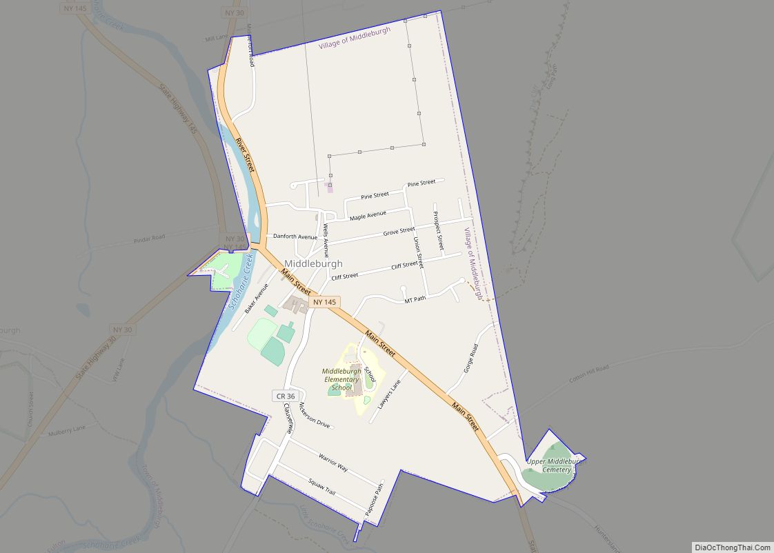
Middleburgh is a village in Schoharie County, New York, United States. The population was 1,500 at the 2010 census. The Village of Middleburgh is in the southwestern part of the Town of Middleburgh and is west of Albany.
| Name: | Middleburgh village |
|---|---|
| LSAD Code: | 47 |
| LSAD Description: | village (suffix) |
| State: | New York |
| County: | Schoharie County |
| Elevation: | 640 ft (195 m) |
| Total Area: | 1.25 sq mi (3.23 km²) |
| Land Area: | 1.25 sq mi (3.23 km²) |
| Water Area: | 0.00 sq mi (0.00 km²) |
| Total Population: | 1,131 |
| Population Density: | 906.98/sq mi (350.10/km²) |
| ZIP code: | 12122 |
| Area code: | 518 |
| FIPS code: | 3646866 |
| GNISfeature ID: | 0957144 |
Online Interactive Map
Click on ![]() to view map in "full screen" mode.
to view map in "full screen" mode.
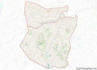
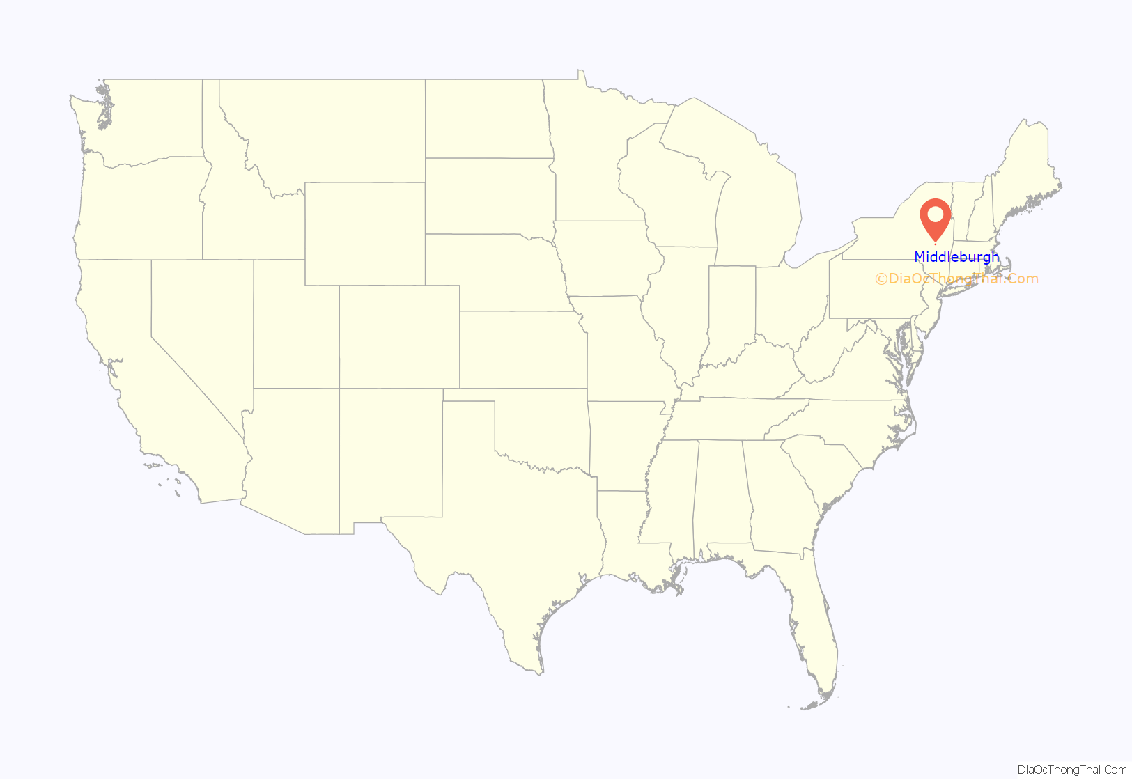
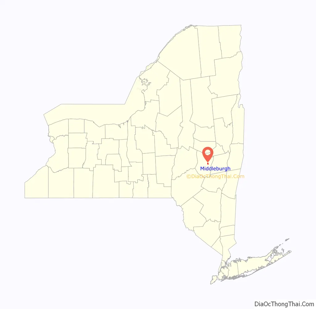
Middleburgh location map. Where is Middleburgh village?
History
The village is the site where the town was first settled around 1712-1713. Initially known as Weiser’s Dorf, the first Palatine settlement in the Schoharie Valley was established by Johan Conrad Weiser in what is now the Village of Middleburgh. This settlement eventually came to be named after Middelburg, the capital of Zeeland, one of the provinces of the then-Dutch Republic and the current Netherlands. The village was incorporated in 1881.
“Middleburg” and “Middleburgh” have been used interchangeably in the past, as seen on old maps of the area. In the early 1980s the final “H” was added to road signs outside the village. In 2004, the Post Office finally added the “H”. The only “missing H” to be found today is the name on the “Middleburg Diner”.
The historic Middleburgh-Schoharie Railroad was half-based in the village. The Bellinger-Dutton House, Dr. Christopher S. Best House and Office, St. Mark’s Evangelical Lutheran Church, United States Post Office-Middleburgh, and Upper Middleburgh Cemetery are listed on the National Register of Historic Places.
The Village of Middleburgh was devastated in 2011 by the effects of Hurricane Irene. However, due to a massive volunteer effort led and organized by local residents, the community was able to successfully recover and rebuild.
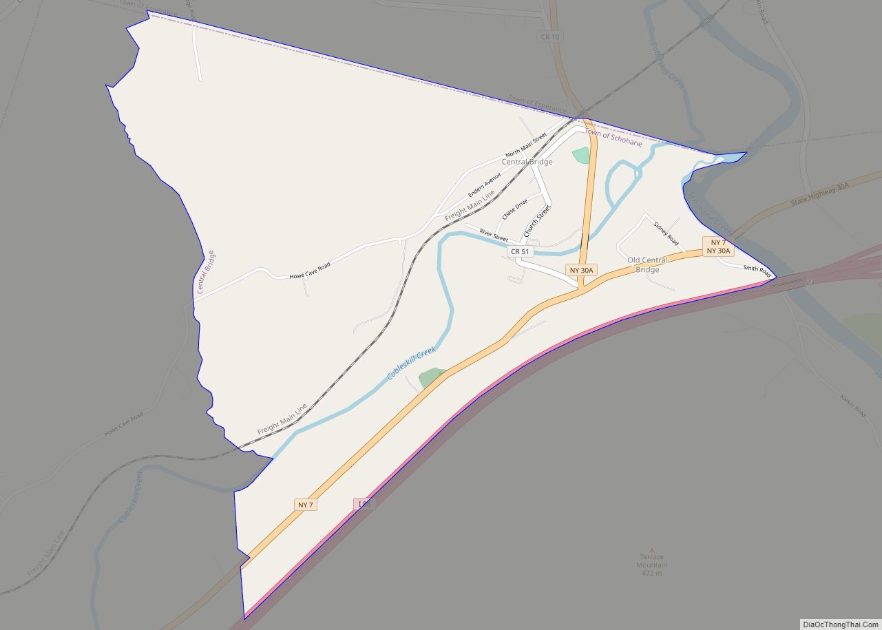
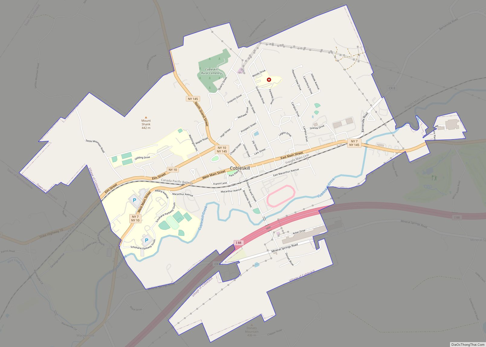
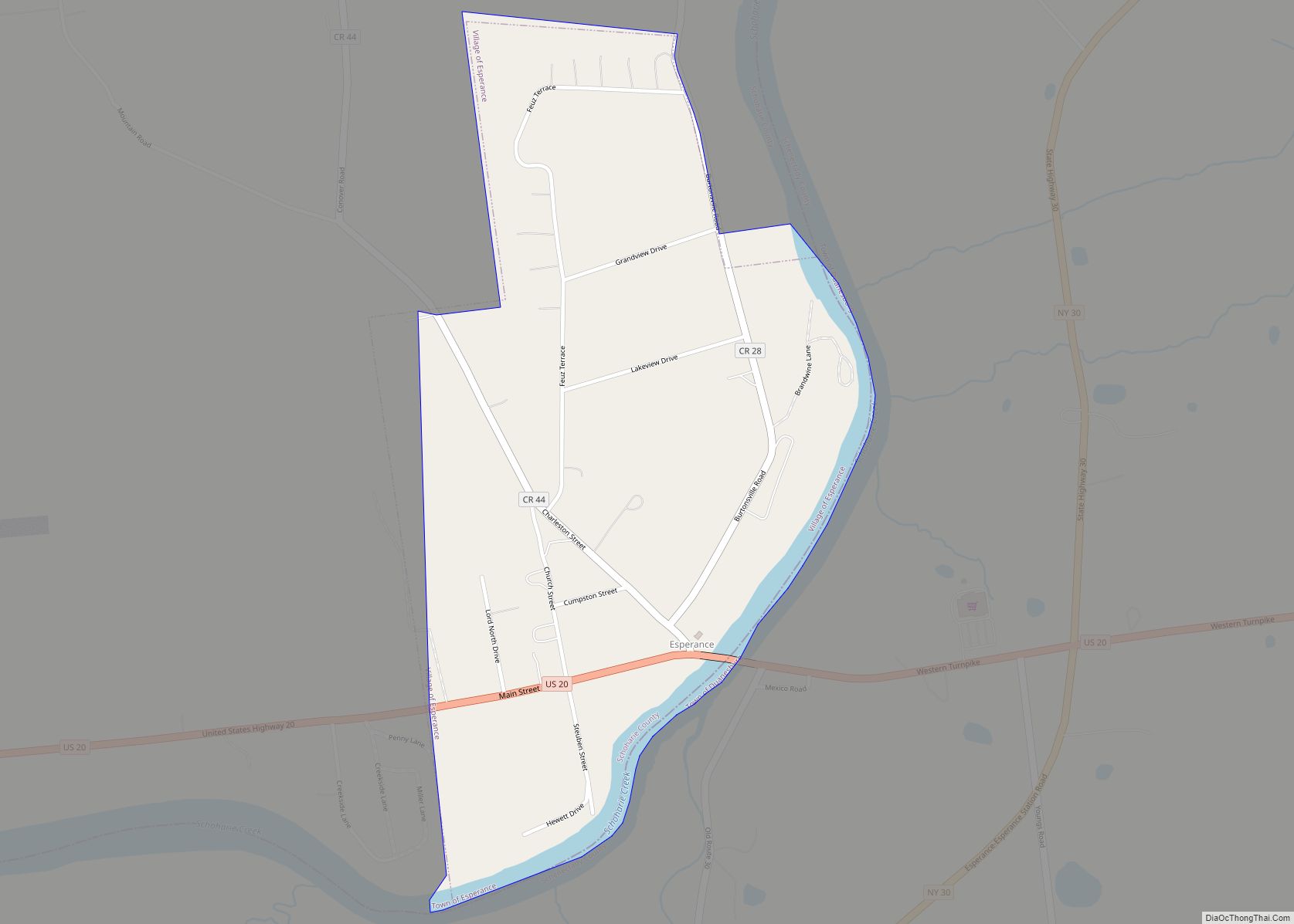
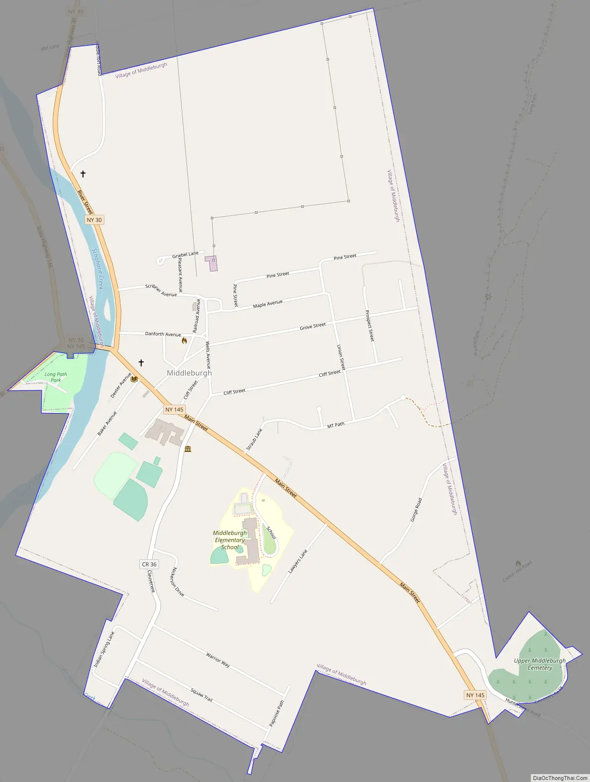
Middleburgh Road Map
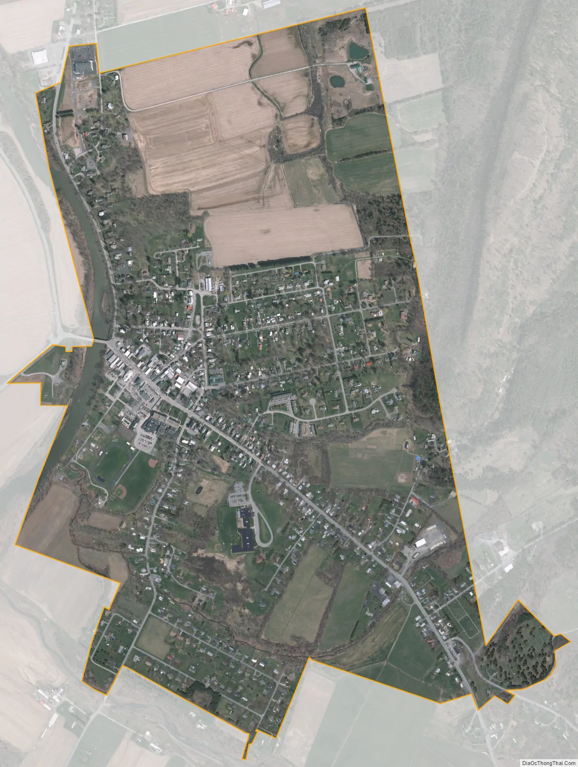
Middleburgh city Satellite Map
Geography
Middleburgh is located at 42°35′47″N 74°19′51″W / 42.59639°N 74.33083°W / 42.59639; -74.33083 (42.596627, -74.330922).
According to the United States Census Bureau, the village has a total area of 1.2 square miles (3.1 km), all land.
The Schoharie Creek passes the village, where it is joined by the Little Schoharie Creek and Stony Creek.
New York State Route 30 (River Street) and New York State Route 145 (Main Street) intersect in the village at the bridge over Schoharie Creek.
See also
Map of New York State and its subdivision:- Albany
- Allegany
- Bronx
- Broome
- Cattaraugus
- Cayuga
- Chautauqua
- Chemung
- Chenango
- Clinton
- Columbia
- Cortland
- Delaware
- Dutchess
- Erie
- Essex
- Franklin
- Fulton
- Genesee
- Greene
- Hamilton
- Herkimer
- Jefferson
- Kings
- Lake Ontario
- Lewis
- Livingston
- Madison
- Monroe
- Montgomery
- Nassau
- New York
- Niagara
- Oneida
- Onondaga
- Ontario
- Orange
- Orleans
- Oswego
- Otsego
- Putnam
- Queens
- Rensselaer
- Richmond
- Rockland
- Saint Lawrence
- Saratoga
- Schenectady
- Schoharie
- Schuyler
- Seneca
- Steuben
- Suffolk
- Sullivan
- Tioga
- Tompkins
- Ulster
- Warren
- Washington
- Wayne
- Westchester
- Wyoming
- Yates
- Alabama
- Alaska
- Arizona
- Arkansas
- California
- Colorado
- Connecticut
- Delaware
- District of Columbia
- Florida
- Georgia
- Hawaii
- Idaho
- Illinois
- Indiana
- Iowa
- Kansas
- Kentucky
- Louisiana
- Maine
- Maryland
- Massachusetts
- Michigan
- Minnesota
- Mississippi
- Missouri
- Montana
- Nebraska
- Nevada
- New Hampshire
- New Jersey
- New Mexico
- New York
- North Carolina
- North Dakota
- Ohio
- Oklahoma
- Oregon
- Pennsylvania
- Rhode Island
- South Carolina
- South Dakota
- Tennessee
- Texas
- Utah
- Vermont
- Virginia
- Washington
- West Virginia
- Wisconsin
- Wyoming