Montebello (Italian: “beautiful mountain”) is an incorporated village in Ramapo, Rockland County, New York, United States. It is located north of Suffern, east of Hillburn, south of Wesley Hills, and west of Airmont. The population was 4,526 at the 2010 census.
| Name: | Montebello village |
|---|---|
| LSAD Code: | 47 |
| LSAD Description: | village (suffix) |
| State: | New York |
| County: | Rockland County |
| Incorporated: | May 7, 1986 |
| Elevation: | 318 ft (97 m) |
| Total Area: | 4.33 sq mi (11.22 km²) |
| Land Area: | 4.32 sq mi (11.19 km²) |
| Water Area: | 0.01 sq mi (0.02 km²) |
| Total Population: | 4,507 |
| Population Density: | 1,043.05/sq mi (402.75/km²) |
| ZIP code: | 10901 |
| Area code: | 845 |
| FIPS code: | 3648090 |
| GNISfeature ID: | 0979939 |
| Website: | http://www.villageofmontebello.org/ |
Online Interactive Map
Click on ![]() to view map in "full screen" mode.
to view map in "full screen" mode.
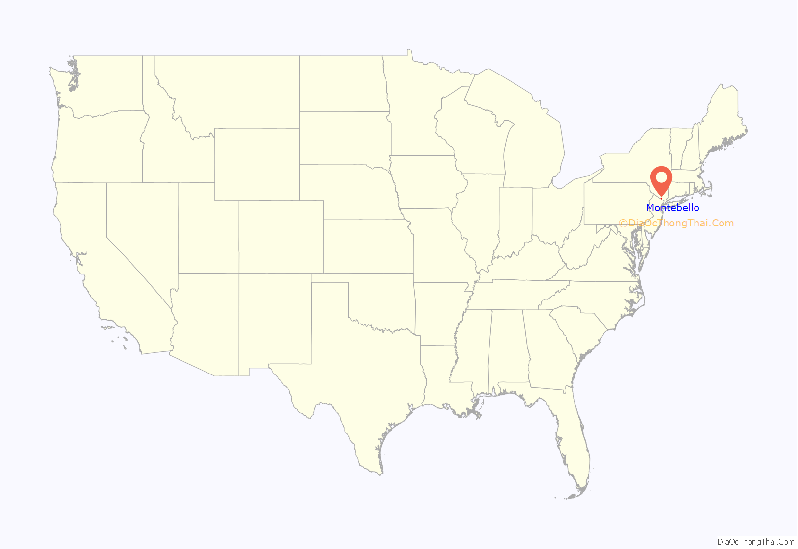
Montebello location map. Where is Montebello village?
History
Early history
Montebello far exceeds the formal boundaries of the incorporated village today. The rolling hills and fertile soil in the Ramapo Valley provided a quiet, unassuming way of life for the early pioneering families. A small collection of farms and mills dotted the countryside and were connected by dirt paths and rugged roadways. That was all about to change with the coming of the iron rails and the trains that would ride them. In neighboring Suffern, the Erie Railroad began operating in 1841, and with it, exposed the area to sights and sounds never imagined.
Erie Railroad
Suffern became an important and busy station on the mainline of the Erie Railroad. New Yorkers, in search of a cool, quiet retreat to relieve the stress of their urban lifestyles, filled the passenger trains bound in summer for the surrounding rural regions. Relatively isolated before the 1860s, Suffern served as a welcome mat for the upstate Erie traveler. Twenty trains a day, loaded with seasonal tourists, stopped at the impressive Victorian depot. Word soon spread among the travelers that “romantic scenery, fascinating beauty and rich land” could be found at the “pleasant summer resort”. Suffern played host to the traveling public, whether accepting the hospitality offered by the resort hotels and boarding houses or just switching trains. The list of guests, visitors, and part-time residents who were attracted to Suffern’s rural charm included the names of many families from New York’s affluent “upper crust”. Some came as seasonal vacationers, closing to rent an estate, while others bought the property from the abundant amount of undeveloped land. Picturesque rolling hills and vast wooded lands guarded by the Ramapo Mountains provided a rustic setting for the development of elegant country estates.
Montebello Estate
One such estate was that of wealthy New York financier Thomas Fortune Ryan. In August 1887, the Ryans purchased the former Groesbeck mansion, which was built in the 1860s. From the hilltop, the estate had a commanding view of the Ramapo Mountains. The Ryans called their estate “Montebello”. Within three years, they had the elegant frame dwelling torn down and replaced with a large brick and stone mansion at the cost of $600,000. The new summer home contained such amenities as a two-lane bowling alley, an electric elevator, a private chapel, greenhouse, 13 fireplaces, and in all, over 44 rooms. The estate comprises 1,000 acres (4.0 km) and has a working farm, not including the 5 smaller “mansions” the Ryans built for their sons in the area, some of which are still standing today.
Aside from a fashionable home on Fifth Avenue, the Ryans maintained homes in Washington, D.C., and Lovingston, Virginia, all reflecting the wealth of one of America’s most prosperous and devoutly religious Irish Catholic families. Thomas Fortune Ryan’s riches were in vast contrast with his humble beginnings in rural Nelson County, Virginia. Orphaned at age nine, Ryan would eventually become the tenth wealthiest man in the nation. After leaving his native state in 1868, he traveled to Baltimore, Maryland, and found a job in the dry goods business of John S. Barry, a highly successful entrepreneur. It was at this time that Ryan met Ida M. Barry, the boss’s daughter, whom he later married. Using his wife’s wealth as a foundation on which to build his own, Ryan launched his business career. Upon moving to New York, he engaged in the stock market as a trader and at age 23 became the youngest man ever to hold a seat on the New York Stock Exchange. From there Ryan amassed millions in urban transit, railroads, tobacco, insurance, banking, rubber, diamonds, and even the Thompson submachine gun.
The Ryans were as generous to philanthropies as they were rich. It has been estimated that Mrs. Ryan gave $20 million to various charities and endowments across the country. Most of these were affiliated with the Roman Catholic Church; however, there were sizable donations to nonsectarian institutions as well. By 1905 it was reported that Mrs. Ryan’s munificence covered the building of “at least one hundred new chapels, schools, churches, hospitals, homes for Sisters of Charity and homes for the aged and infirmed”. Mrs. Ryan displayed a special fondness for her new neighbors by contributing equipment to the newly formed Suffern Fire Department. She also built a new church and established a girls’ school and a seminary in Suffern, among other things. Shortly after the turn of the 20th century, she turned her attention to the health needs of the community and started Good Samaritan Hospital.
After Mrs. Ryan died in 1917, Ryan divided up the estate and in 1921 sold the main mansion to Edward Swann, New York City District Attorney. Several months later, Swann sold the property to the Archdiocese of New York, which used the mansion as a retreat site for St. Joseph’s College and Seminary. In 1944, Suffern resident Gustav Mayer purchased the mansion. However, his plans to develop the property, including possibly as a country club, never materialized, and the vacant mansion fell victim to vandals. Copper mining giant Phelps Dodge Corporation bought the dilapidated mansion in 1951 and used it as their corporate records headquarters for the next 31 years. After Phelps Dodge relocated, it sold the mansion for $1.6 million to Gary M. Goldberg, CEO of the investment/financial planning firm which bears his name. After a year of extensive renovation, Montebello became that financial firm’s headquarters as well as an office park.
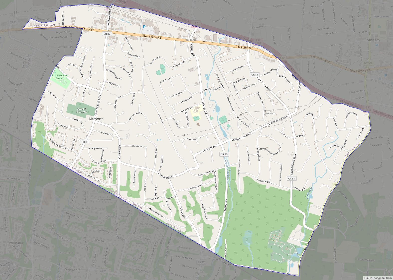
Montebello Road Map
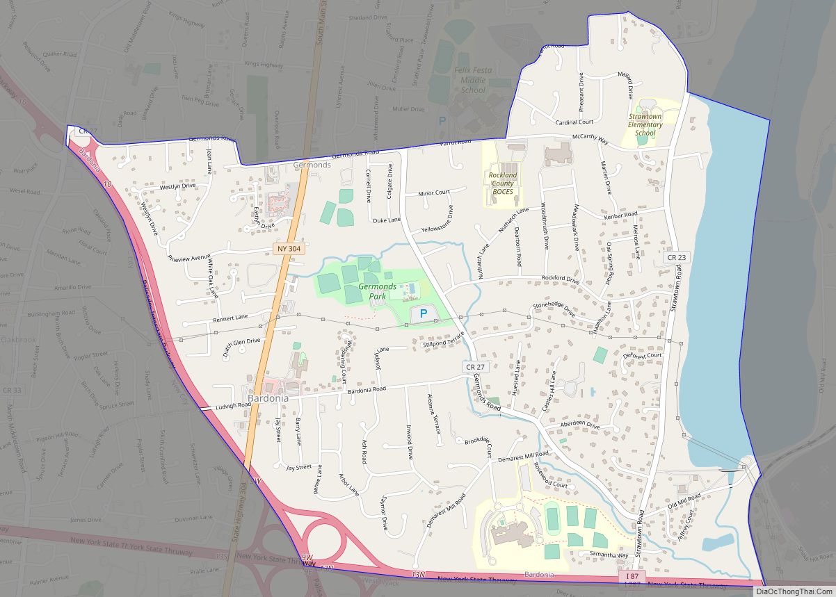
Montebello city Satellite Map
Geography
Montebello is located at 41°7′39″N 74°7′9″W / 41.12750°N 74.11917°W / 41.12750; -74.11917 (41.127595, -74.119196).
According to the United States Census Bureau, the village has a total area of 4.4 square miles (11 km), all land.
The road system within the village totals 20.98 miles (33.76 km). Of this, 1.97 miles (3.17 km) are state roads, 6.23 miles (10.03 km) are county roads and 12.78 miles (20.57 km) are village roads. The major arteries include U.S. Route 202, the New York State Thruway (Exit 14B is within the village), and county roads including Airmont, Hemion, Montebello (portion), Spook Rock, and Viola roads, and Grandview Avenue and Dunnigan Drive.
See also
Map of New York State and its subdivision:- Albany
- Allegany
- Bronx
- Broome
- Cattaraugus
- Cayuga
- Chautauqua
- Chemung
- Chenango
- Clinton
- Columbia
- Cortland
- Delaware
- Dutchess
- Erie
- Essex
- Franklin
- Fulton
- Genesee
- Greene
- Hamilton
- Herkimer
- Jefferson
- Kings
- Lake Ontario
- Lewis
- Livingston
- Madison
- Monroe
- Montgomery
- Nassau
- New York
- Niagara
- Oneida
- Onondaga
- Ontario
- Orange
- Orleans
- Oswego
- Otsego
- Putnam
- Queens
- Rensselaer
- Richmond
- Rockland
- Saint Lawrence
- Saratoga
- Schenectady
- Schoharie
- Schuyler
- Seneca
- Steuben
- Suffolk
- Sullivan
- Tioga
- Tompkins
- Ulster
- Warren
- Washington
- Wayne
- Westchester
- Wyoming
- Yates
- Alabama
- Alaska
- Arizona
- Arkansas
- California
- Colorado
- Connecticut
- Delaware
- District of Columbia
- Florida
- Georgia
- Hawaii
- Idaho
- Illinois
- Indiana
- Iowa
- Kansas
- Kentucky
- Louisiana
- Maine
- Maryland
- Massachusetts
- Michigan
- Minnesota
- Mississippi
- Missouri
- Montana
- Nebraska
- Nevada
- New Hampshire
- New Jersey
- New Mexico
- New York
- North Carolina
- North Dakota
- Ohio
- Oklahoma
- Oregon
- Pennsylvania
- Rhode Island
- South Carolina
- South Dakota
- Tennessee
- Texas
- Utah
- Vermont
- Virginia
- Washington
- West Virginia
- Wisconsin
- Wyoming
