North Creek is a census-designated place and hamlet in the Adirondack Park, in the town of Johnsburg, in Warren County, New York, United States. It is an area known for skiing (Gore Mountain), hiking and other outdoor recreational activities. It is located at 43°41′52″N 73°59′11″W / 43.69778°N 73.98639°W / 43.69778; -73.98639Coordinates: 43°41′52″N 73°59′11″W / 43.69778°N 73.98639°W / 43.69778; -73.98639.
The town hall, library, and Johnsburg Central School are all located in North Creek. The Saratoga and North Creek Railroad was a heritage railway that operated between North Creek and Saratoga Springs over the tracks of the historic Adirondack Railway. The North Creek Depot Museum is in the town, documenting the cultural and industrial history of the Adirondacks area.
| Name: | North Creek CDP |
|---|---|
| LSAD Code: | 57 |
| LSAD Description: | CDP (suffix) |
| State: | New York |
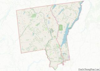
| County: | Warren County |
| Total Area: | 1.82 sq mi (4.70 km²) |
| Land Area: | 1.76 sq mi (4.55 km²) |
| Water Area: | 0.06 sq mi (0.15 km²) |
| Total Population: | 562 |
| Population Density: | 319.68/sq mi (123.41/km²) |
| ZIP code: | 12853 |
| Area code: | 518 |
| FIPS code: | 3651847 |
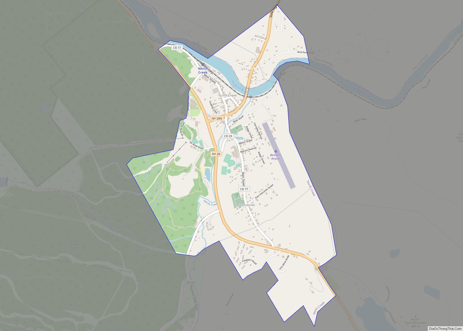
Online Interactive Map
Click on ![]() to view map in "full screen" mode.
to view map in "full screen" mode.
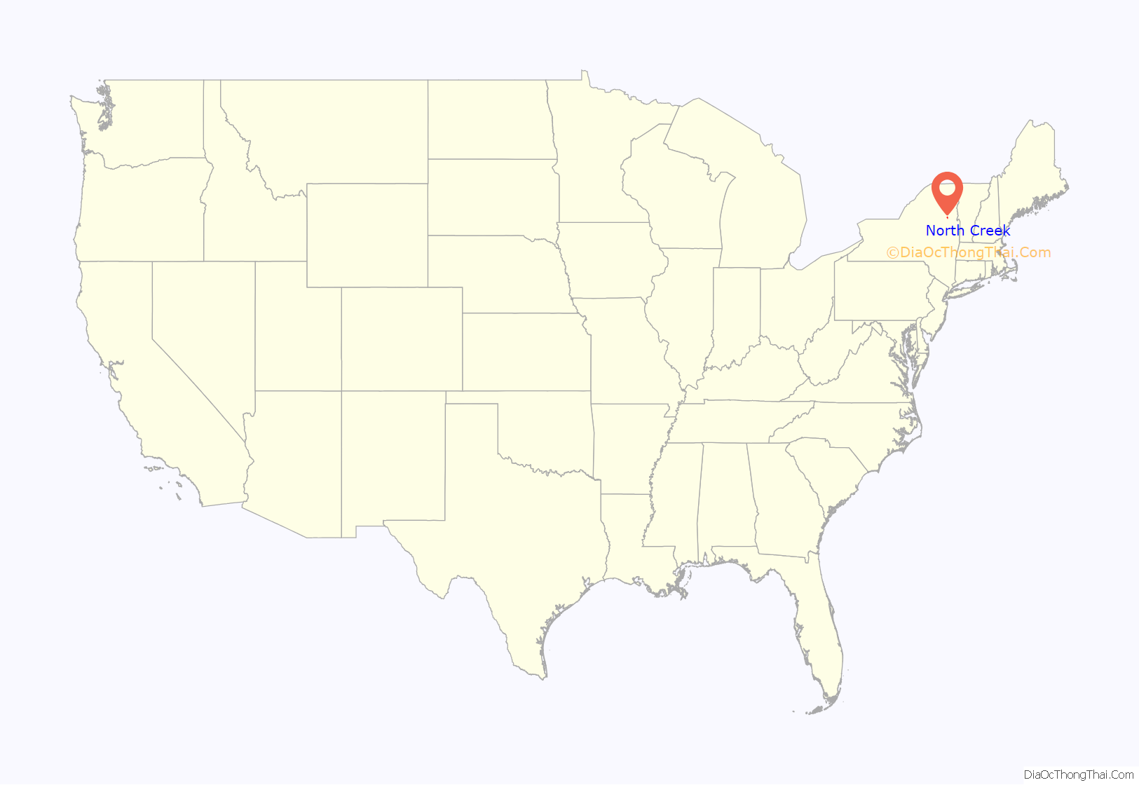
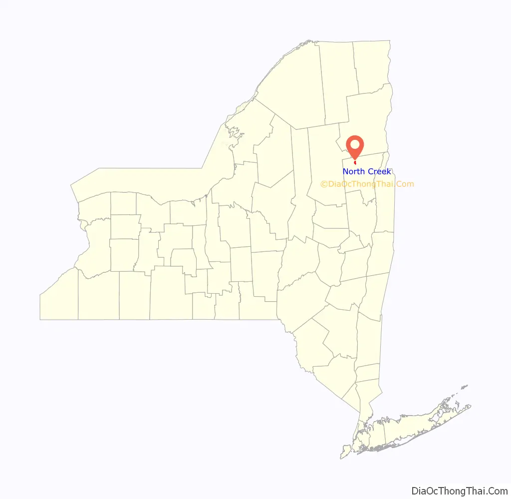
North Creek location map. Where is North Creek CDP?
History
North Creek was the original northern terminus of the Adirondack Railway, the first railroad into the Adirondacks, built by Dr. Thomas C. Durant. It was to the station at North Creek that then Vice President Theodore Roosevelt rode from Mount Marcy upon learning of the death of William McKinley in 1901.
The North Creek Railroad Station Complex was listed on the National Register of Historic Places in 1976.
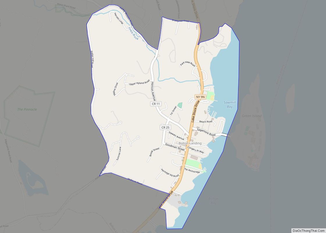
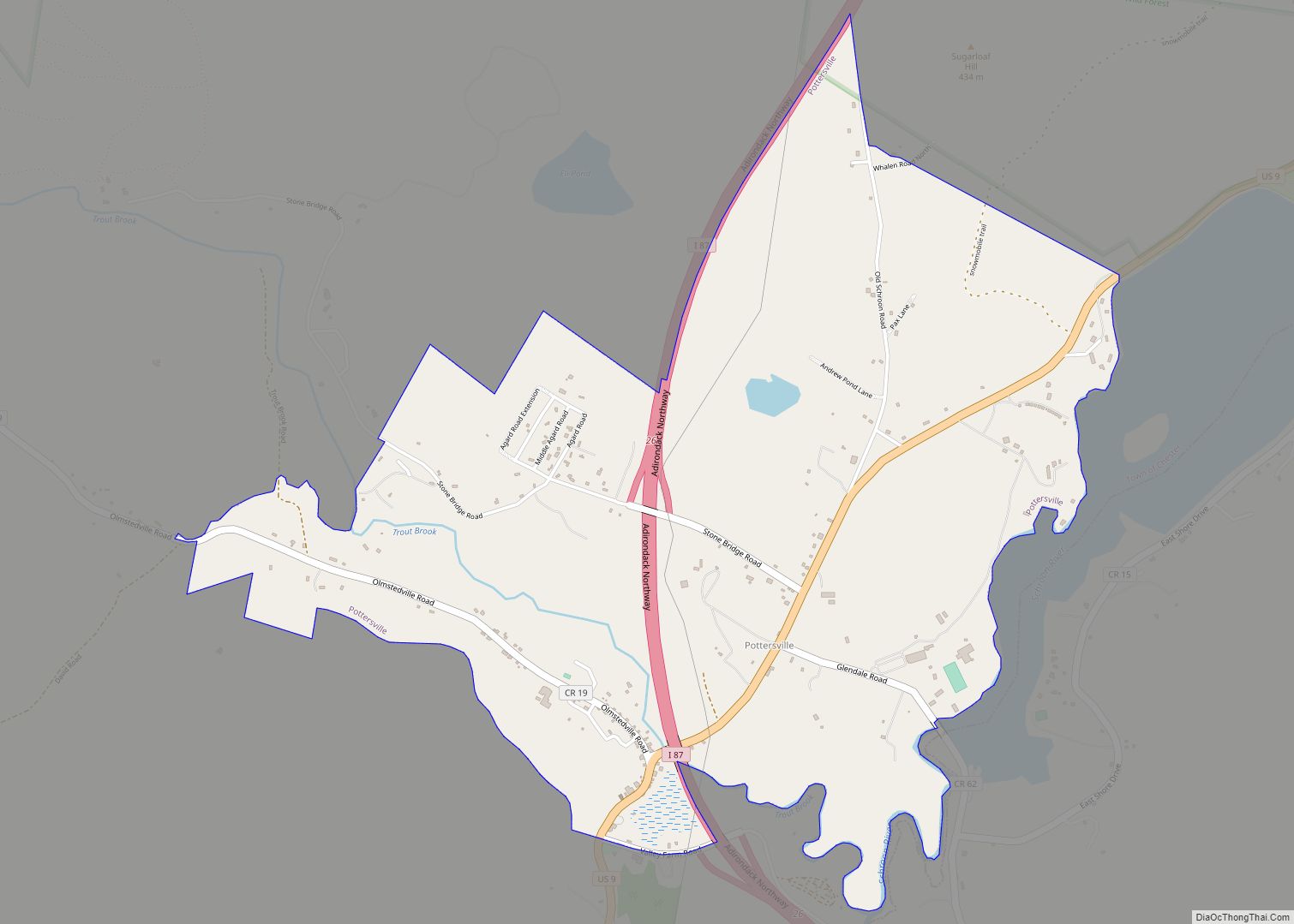
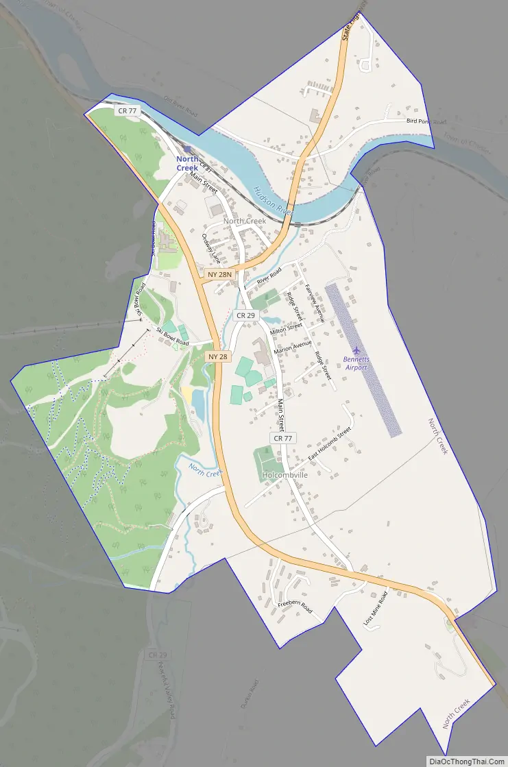
North Creek Road Map
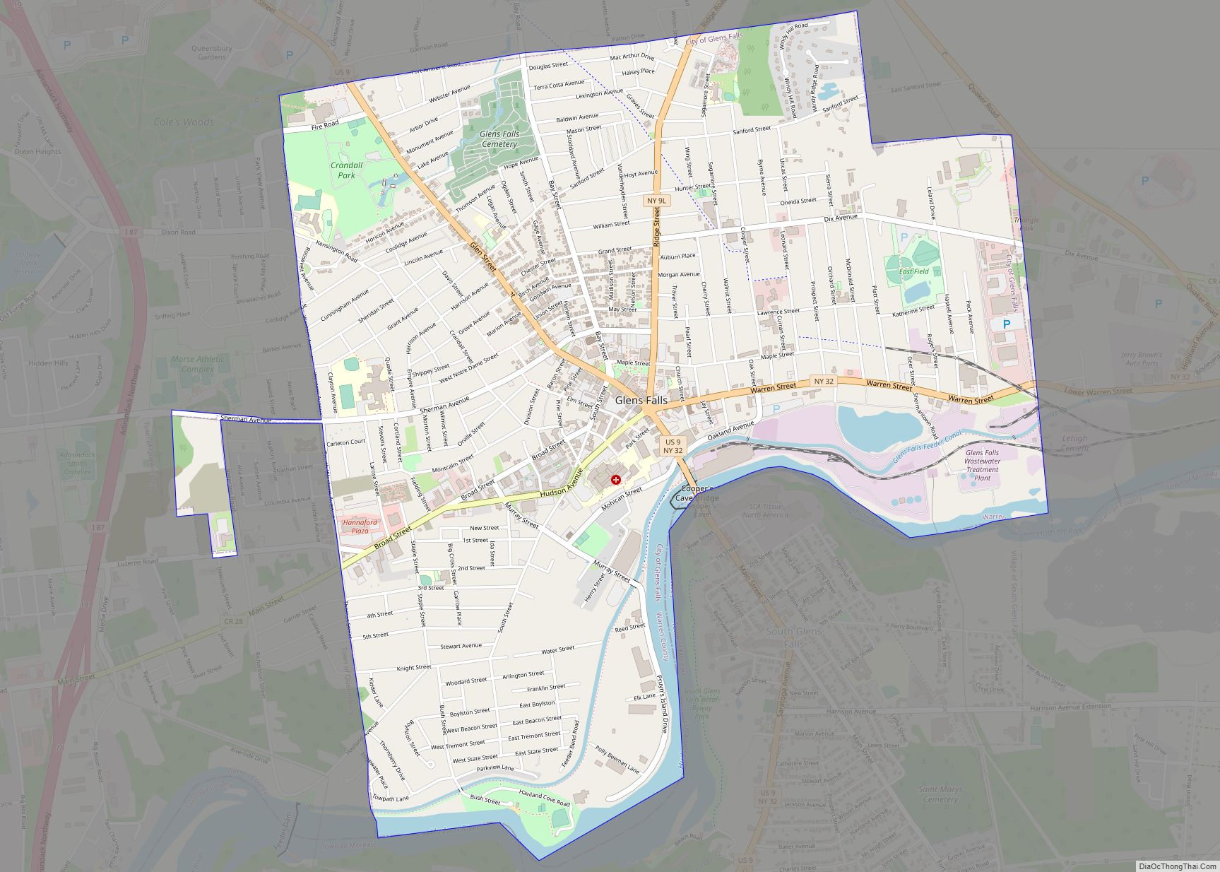
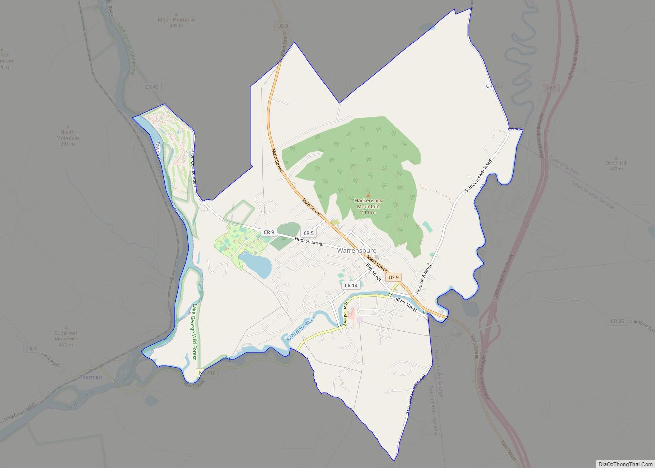
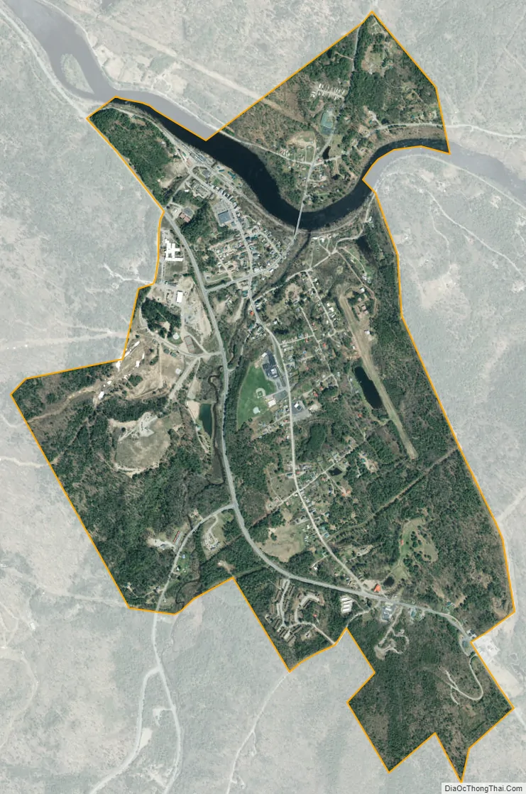
North Creek city Satellite Map
See also
Map of New York State and its subdivision:- Albany
- Allegany
- Bronx
- Broome
- Cattaraugus
- Cayuga
- Chautauqua
- Chemung
- Chenango
- Clinton
- Columbia
- Cortland
- Delaware
- Dutchess
- Erie
- Essex
- Franklin
- Fulton
- Genesee
- Greene
- Hamilton
- Herkimer
- Jefferson
- Kings
- Lake Ontario
- Lewis
- Livingston
- Madison
- Monroe
- Montgomery
- Nassau
- New York
- Niagara
- Oneida
- Onondaga
- Ontario
- Orange
- Orleans
- Oswego
- Otsego
- Putnam
- Queens
- Rensselaer
- Richmond
- Rockland
- Saint Lawrence
- Saratoga
- Schenectady
- Schoharie
- Schuyler
- Seneca
- Steuben
- Suffolk
- Sullivan
- Tioga
- Tompkins
- Ulster
- Warren
- Washington
- Wayne
- Westchester
- Wyoming
- Yates
- Alabama
- Alaska
- Arizona
- Arkansas
- California
- Colorado
- Connecticut
- Delaware
- District of Columbia
- Florida
- Georgia
- Hawaii
- Idaho
- Illinois
- Indiana
- Iowa
- Kansas
- Kentucky
- Louisiana
- Maine
- Maryland
- Massachusetts
- Michigan
- Minnesota
- Mississippi
- Missouri
- Montana
- Nebraska
- Nevada
- New Hampshire
- New Jersey
- New Mexico
- New York
- North Carolina
- North Dakota
- Ohio
- Oklahoma
- Oregon
- Pennsylvania
- Rhode Island
- South Carolina
- South Dakota
- Tennessee
- Texas
- Utah
- Vermont
- Virginia
- Washington
- West Virginia
- Wisconsin
- Wyoming