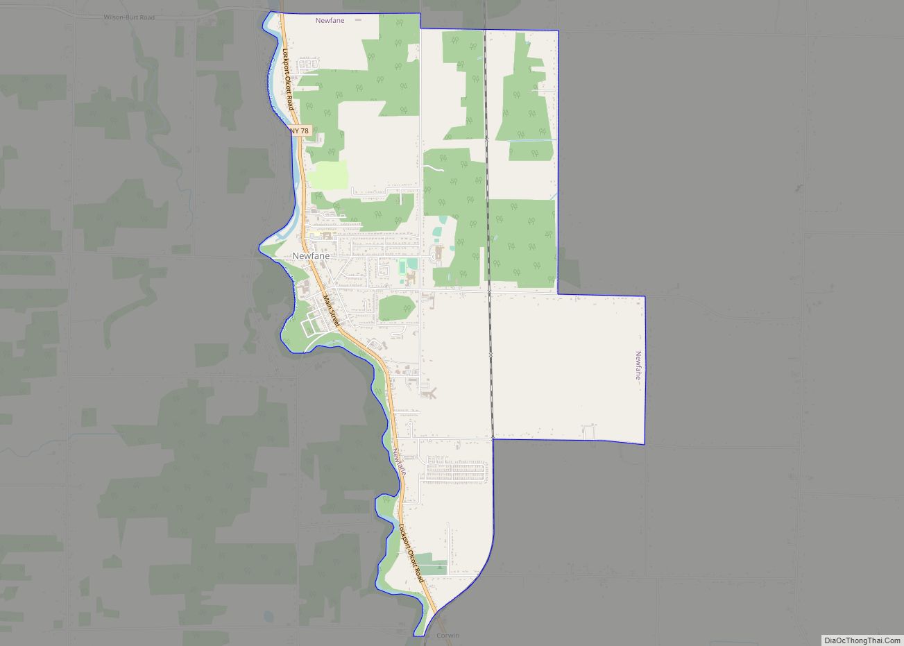
Olcott is a hamlet (and census-designated place) located in the Town of Newfane in Niagara County, New York, United States. As of the 2010 census, this community population was 1,241. Most locals refer to it as Olcott Beach. It is part of the Buffalo–Niagara Falls Metropolitan Statistical Area.
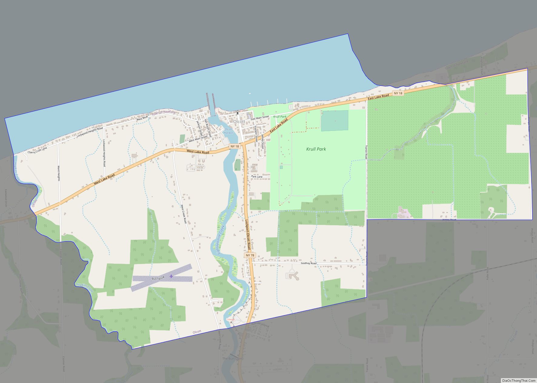
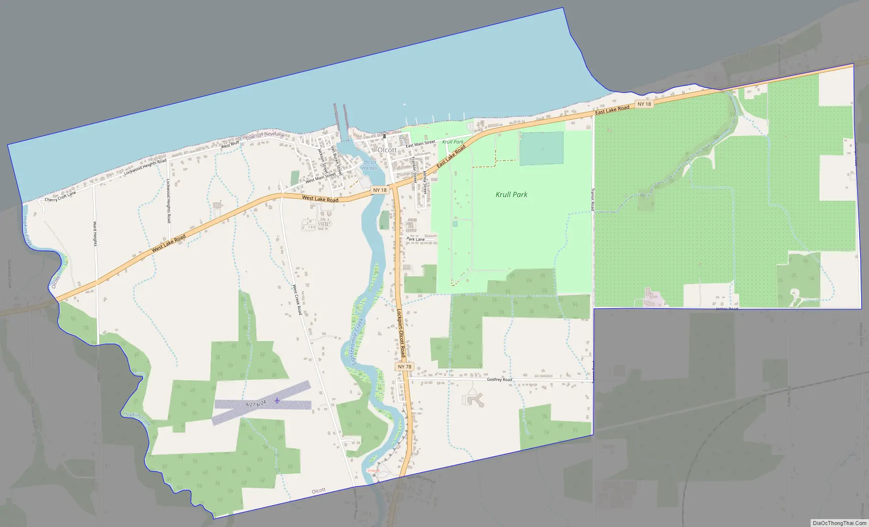
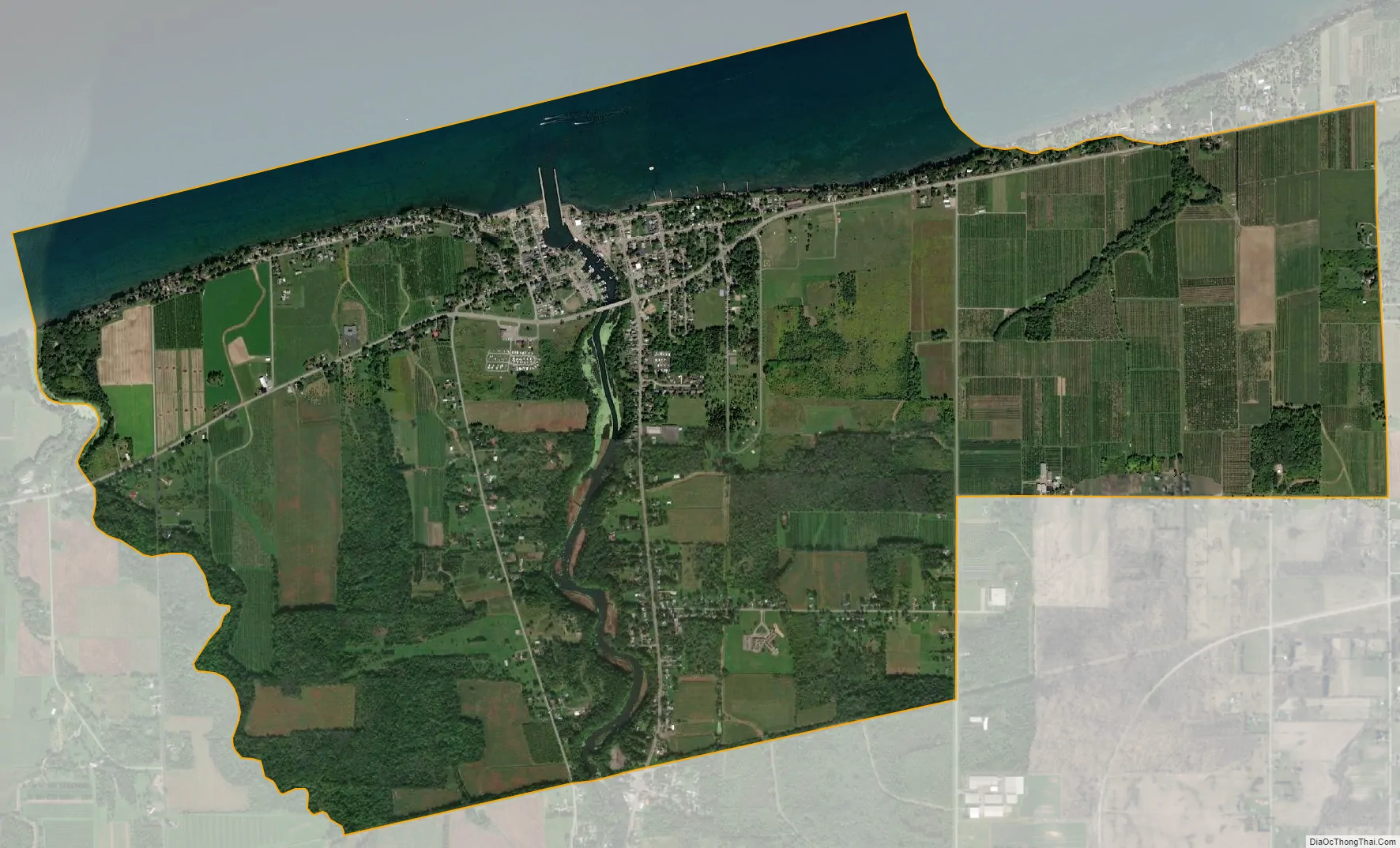
Olcott is a lakeside community which is home to the deepest harbor on Lake Ontario west of Rochester. The community is at the junction of East/West Lake Road (NYS Route 18) and Lockport-Olcott Road (NYS Route 78).
Krull Park in the northeast part of the village, is the largest county-operated park in Niagara County. Olcott-Newfane Airport (D80) is located south of the village, but is closed indefinitely except for ultralight aircraft.
Olcott was known for its Coney Island-like beach attractions and attracted tourists visiting nearby Niagara Falls. Many of these attractions have closed, however, after the decline of the City of Niagara Falls and a prolonged economic downturn which has hard hit all of Niagara County. Slowly, efforts are being made to bring back this economic prosperity that the region once saw, and so far has been a success in Olcott. Heritage tourism has become quite popular in Niagara County, and new festivals include the Olcott Pirate Festival as well as a famous car show that takes place during the summer.
In 2012, Olcott Beach won the prestigious title of Ultimate Fishing Town in a contest sponsored by The World Fishing Network (WFN). Olcott Beach enjoys a superior reputation as a world-class fishing destination by sportsmen and hobbyists alike. The U.S. prize was awarded to Olcott Beach, and the Canadian prize was awarded to Hastings, Ontario, both located by the shores of Lake Ontario.
| Name: | Olcott CDP |
|---|---|
| LSAD Code: | 57 |
| LSAD Description: | CDP (suffix) |
| State: | New York |
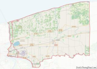
| County: | Niagara County |
| Elevation: | 272 ft (83 m) |
| Total Area: | 4.37 sq mi (11.32 km²) |
| Land Area: | 3.63 sq mi (9.40 km²) |
| Water Area: | 0.74 sq mi (1.93 km²) |
| Total Population: | 1,072 |
| Population Density: | 295.48/sq mi (114.10/km²) |
| ZIP code: | 14126 |
| Area code: | 716 |
| FIPS code: | 3654540 |
| GNISfeature ID: | 0959245 |
| Website: | townofnewfane.com |
Online Interactive Map
Click on ![]() to view map in "full screen" mode.
to view map in "full screen" mode.
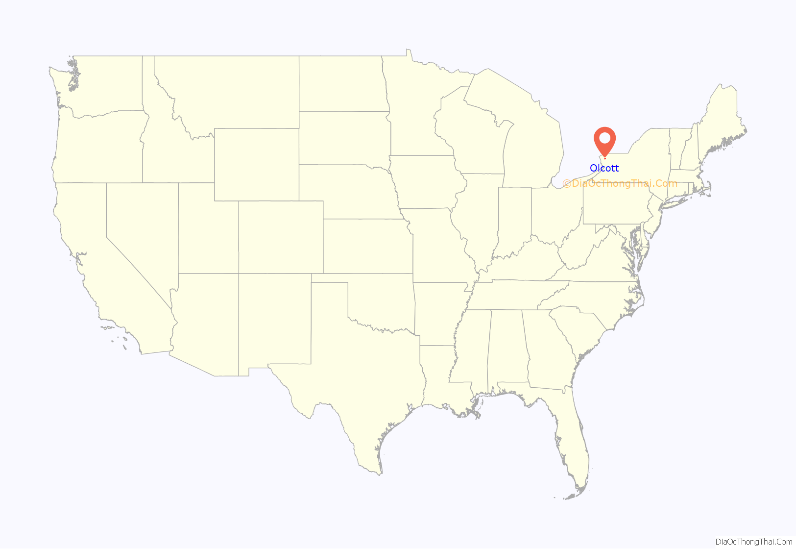
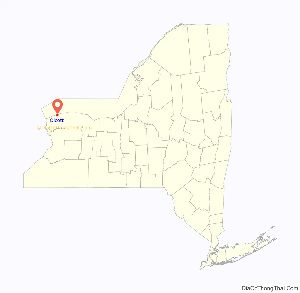
Olcott location map. Where is Olcott CDP?
Olcott Road Map
Olcott city Satellite Map
Geography
Olcott is located at 43°20′10″N 78°43′03″W / 43.336162°N 78.717506°W / 43.336162; -78.717506.
According to the United States Census Bureau, the village has a total area of 5.3 square miles (14 km), of which 4.6 square miles (12 km) is land and 0.7 square miles (1.8 km) (13.56%) is water.
Olcott is located on the south shore of Lake Ontario, where Eighteen Mile Creek enters the lake.
See also
Map of New York State and its subdivision:- Albany
- Allegany
- Bronx
- Broome
- Cattaraugus
- Cayuga
- Chautauqua
- Chemung
- Chenango
- Clinton
- Columbia
- Cortland
- Delaware
- Dutchess
- Erie
- Essex
- Franklin
- Fulton
- Genesee
- Greene
- Hamilton
- Herkimer
- Jefferson
- Kings
- Lake Ontario
- Lewis
- Livingston
- Madison
- Monroe
- Montgomery
- Nassau
- New York
- Niagara
- Oneida
- Onondaga
- Ontario
- Orange
- Orleans
- Oswego
- Otsego
- Putnam
- Queens
- Rensselaer
- Richmond
- Rockland
- Saint Lawrence
- Saratoga
- Schenectady
- Schoharie
- Schuyler
- Seneca
- Steuben
- Suffolk
- Sullivan
- Tioga
- Tompkins
- Ulster
- Warren
- Washington
- Wayne
- Westchester
- Wyoming
- Yates
- Alabama
- Alaska
- Arizona
- Arkansas
- California
- Colorado
- Connecticut
- Delaware
- District of Columbia
- Florida
- Georgia
- Hawaii
- Idaho
- Illinois
- Indiana
- Iowa
- Kansas
- Kentucky
- Louisiana
- Maine
- Maryland
- Massachusetts
- Michigan
- Minnesota
- Mississippi
- Missouri
- Montana
- Nebraska
- Nevada
- New Hampshire
- New Jersey
- New Mexico
- New York
- North Carolina
- North Dakota
- Ohio
- Oklahoma
- Oregon
- Pennsylvania
- Rhode Island
- South Carolina
- South Dakota
- Tennessee
- Texas
- Utah
- Vermont
- Virginia
- Washington
- West Virginia
- Wisconsin
- Wyoming