Otego is a village in Otsego County, New York, United States. It is located within the Mohawk Valley Region of the state. The population was 1,010 at the 2010 census.
The Village of Otego is in the southern part of the Town of Otego and is southwest of Oneonta.
| Name: | Otego village |
|---|---|
| LSAD Code: | 47 |
| LSAD Description: | village (suffix) |
| State: | New York |
| County: | Otsego County |
| Elevation: | 1,070 ft (326 m) |
| Total Area: | 1.16 sq mi (3.00 km²) |
| Land Area: | 1.16 sq mi (3.00 km²) |
| Water Area: | 0.00 sq mi (0.00 km²) |
| Total Population: | 875 |
| Population Density: | 754.96/sq mi (291.38/km²) |
| ZIP code: | 13825 |
| Area code: | 607 |
| FIPS code: | 3655618 |
| GNISfeature ID: | 0959533 |
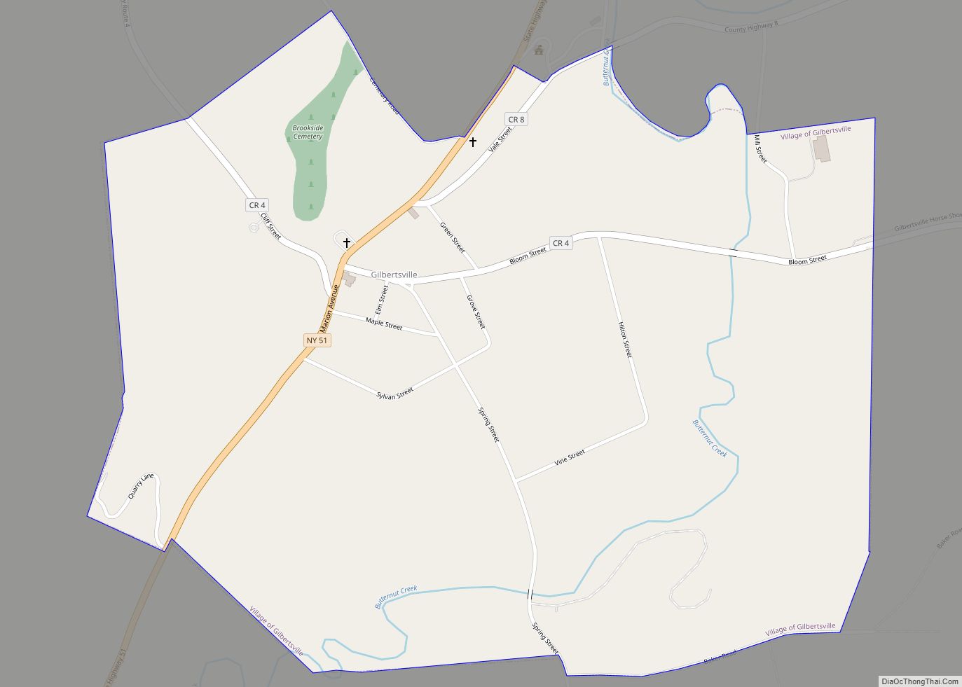
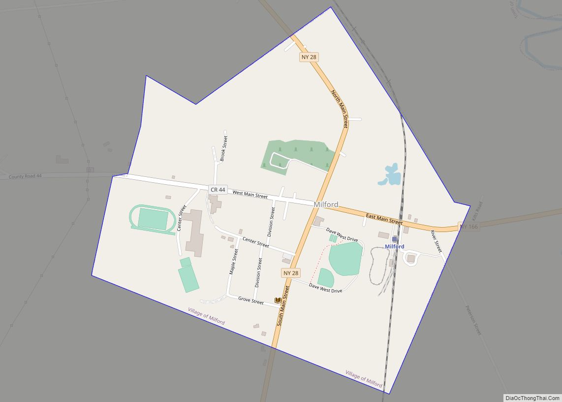
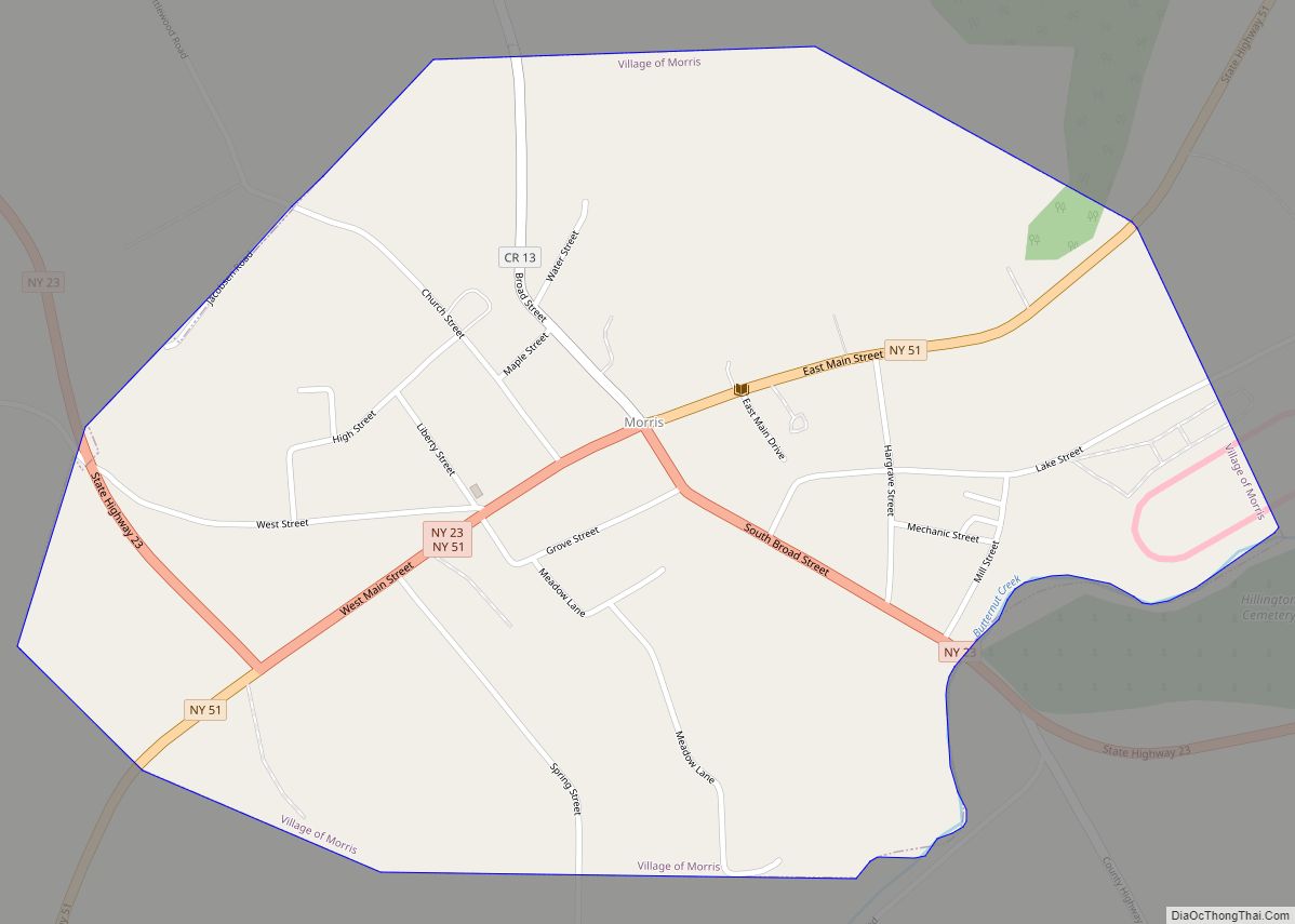
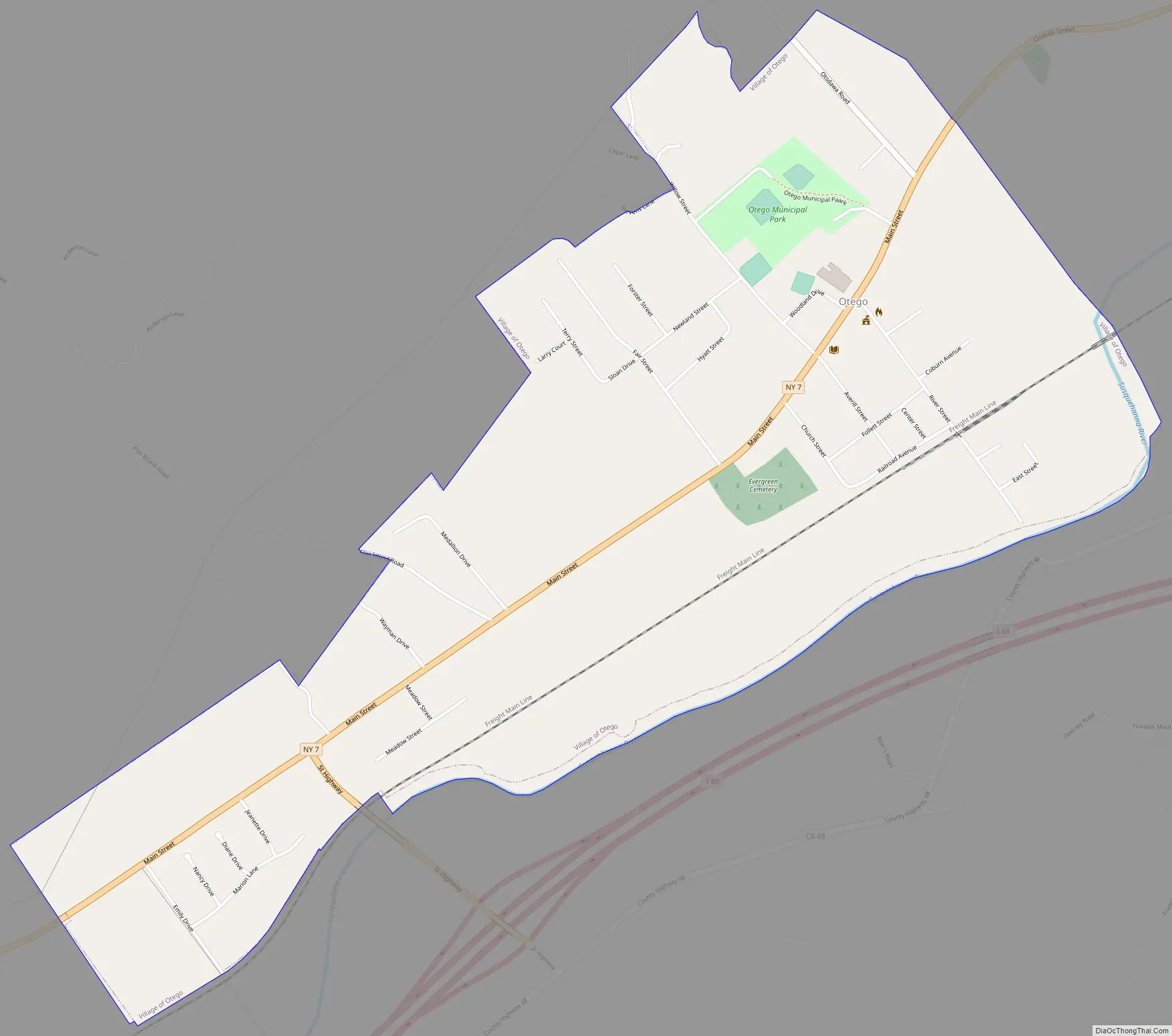
Online Interactive Map
Click on ![]() to view map in "full screen" mode.
to view map in "full screen" mode.
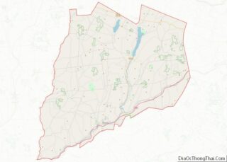
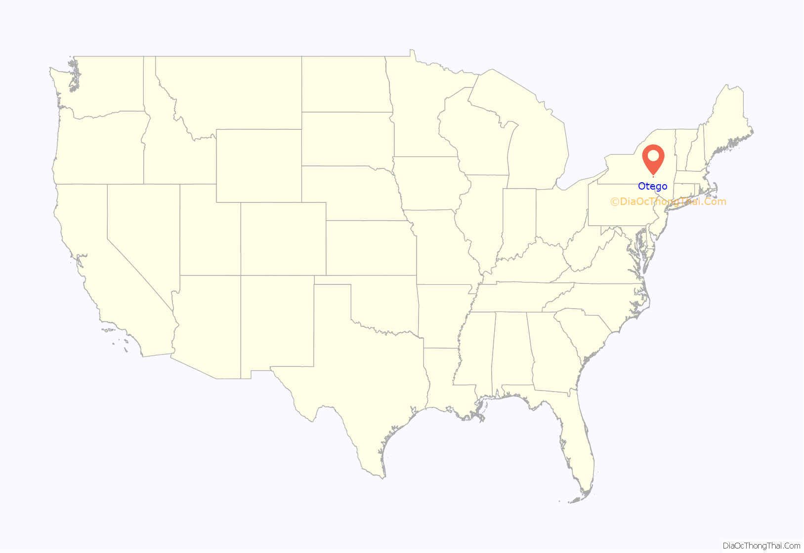
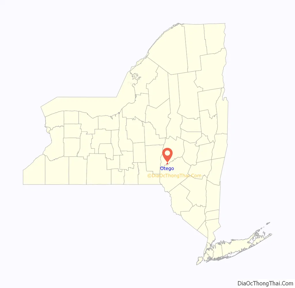
Otego location map. Where is Otego village?
History
There was no significant European settlement in the area until after the American Revolution.
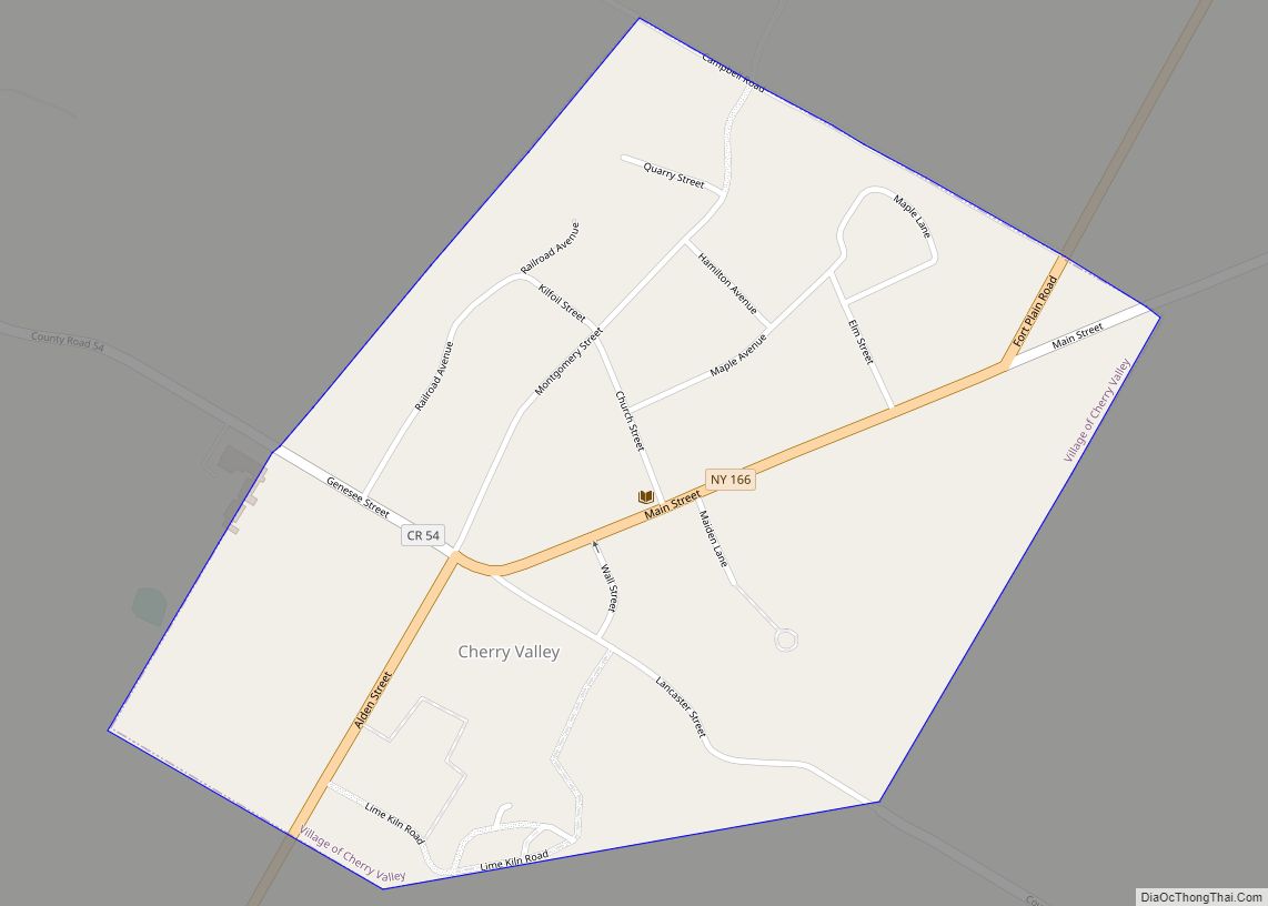
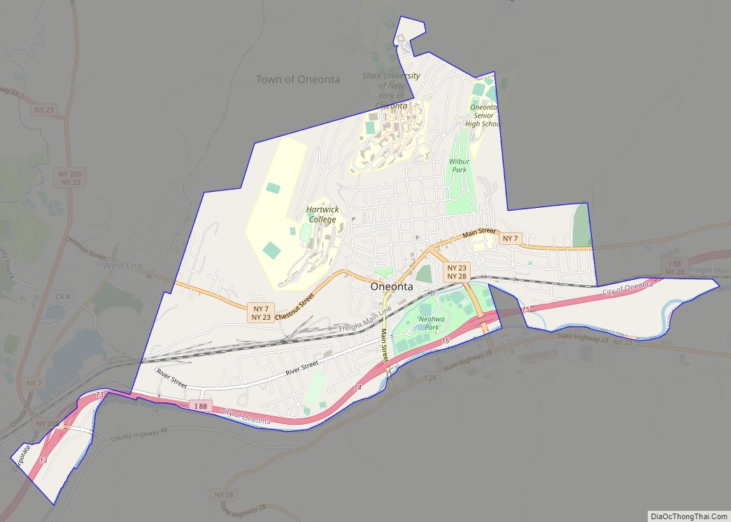
Otego Road Map
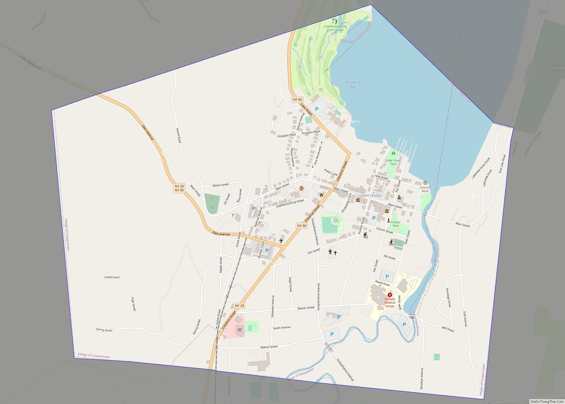
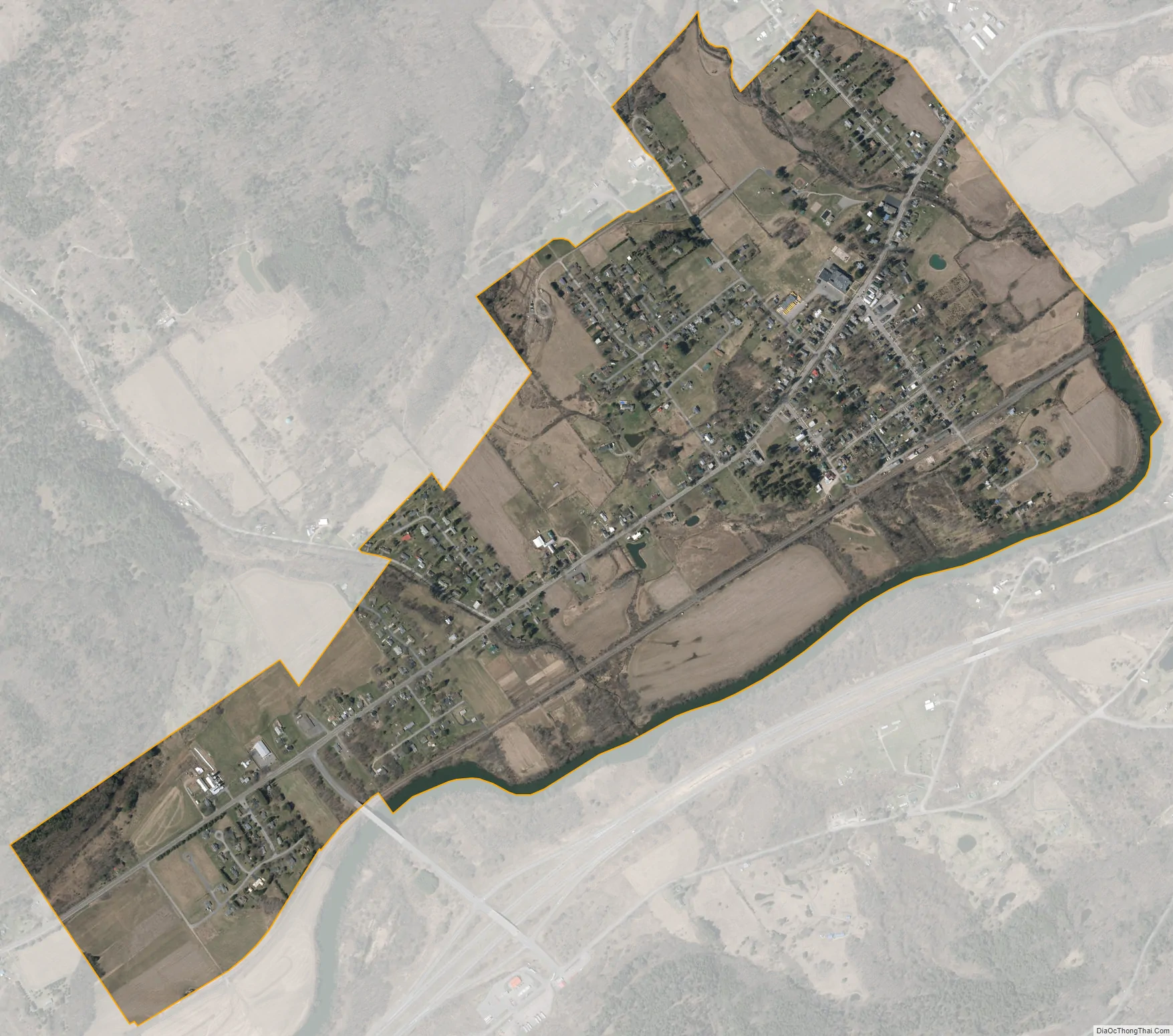
Otego city Satellite Map
Geography
Otego is located at 42°23′30″N 75°10′40″W / 42.39167°N 75.17778°W / 42.39167; -75.17778 (42.391684, -75.17802).
According to the United States Census Bureau, the village has a total area of 1.1 square miles (3.0 km), all land.
The village is north of Interstate 88 and the Susquehanna River. The village is located on NY Route 7. County Highway 7 (Otsdawa Avenue) enters the village from the north.
See also
Map of New York State and its subdivision:- Albany
- Allegany
- Bronx
- Broome
- Cattaraugus
- Cayuga
- Chautauqua
- Chemung
- Chenango
- Clinton
- Columbia
- Cortland
- Delaware
- Dutchess
- Erie
- Essex
- Franklin
- Fulton
- Genesee
- Greene
- Hamilton
- Herkimer
- Jefferson
- Kings
- Lake Ontario
- Lewis
- Livingston
- Madison
- Monroe
- Montgomery
- Nassau
- New York
- Niagara
- Oneida
- Onondaga
- Ontario
- Orange
- Orleans
- Oswego
- Otsego
- Putnam
- Queens
- Rensselaer
- Richmond
- Rockland
- Saint Lawrence
- Saratoga
- Schenectady
- Schoharie
- Schuyler
- Seneca
- Steuben
- Suffolk
- Sullivan
- Tioga
- Tompkins
- Ulster
- Warren
- Washington
- Wayne
- Westchester
- Wyoming
- Yates
- Alabama
- Alaska
- Arizona
- Arkansas
- California
- Colorado
- Connecticut
- Delaware
- District of Columbia
- Florida
- Georgia
- Hawaii
- Idaho
- Illinois
- Indiana
- Iowa
- Kansas
- Kentucky
- Louisiana
- Maine
- Maryland
- Massachusetts
- Michigan
- Minnesota
- Mississippi
- Missouri
- Montana
- Nebraska
- Nevada
- New Hampshire
- New Jersey
- New Mexico
- New York
- North Carolina
- North Dakota
- Ohio
- Oklahoma
- Oregon
- Pennsylvania
- Rhode Island
- South Carolina
- South Dakota
- Tennessee
- Texas
- Utah
- Vermont
- Virginia
- Washington
- West Virginia
- Wisconsin
- Wyoming