Oxford is a village in Chenango County, New York, United States. The population was 1,450 at the 2010 census. The village is named after Oxford, Massachusetts, the hometown of the landowner.
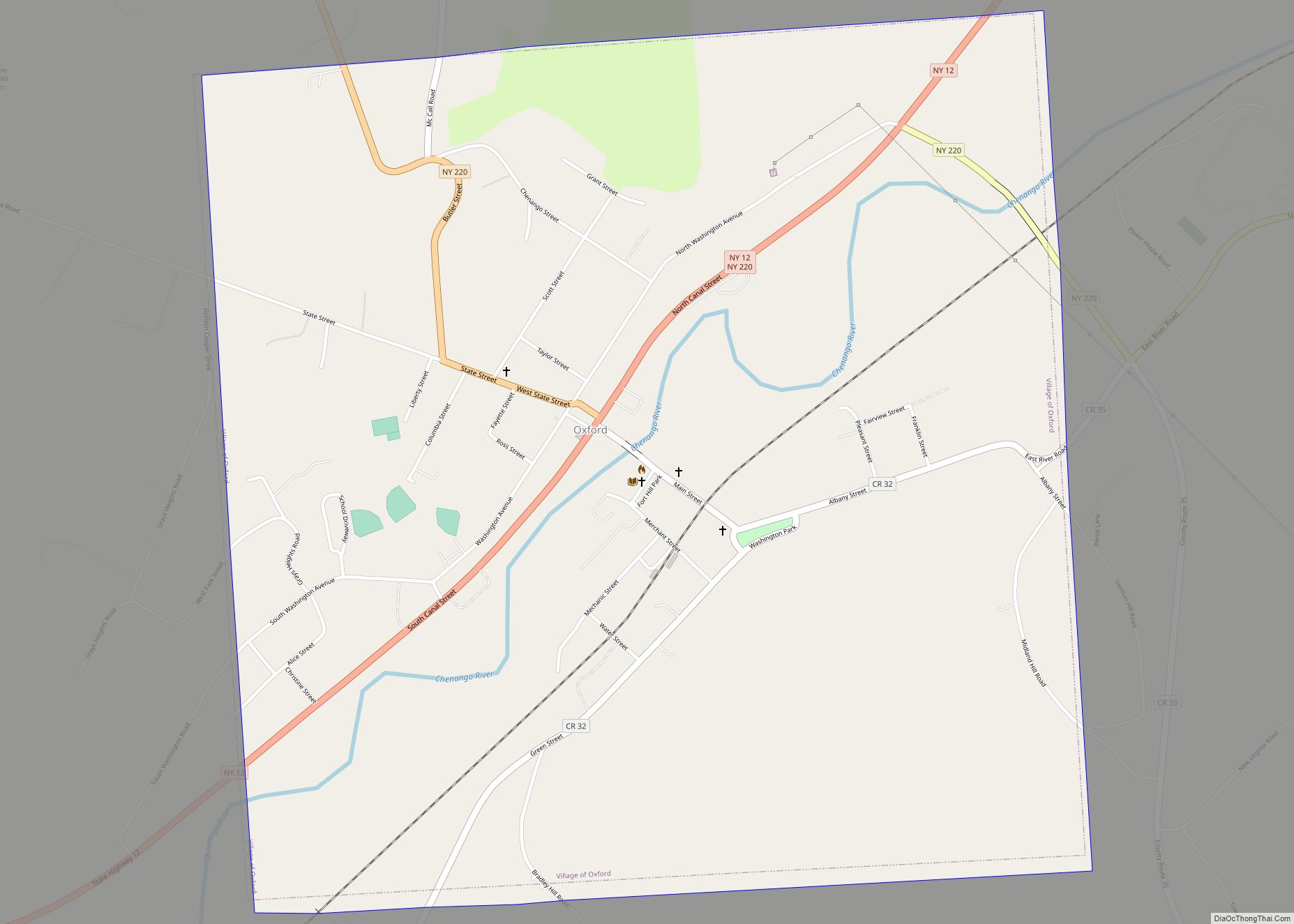
The village of Oxford is in the northern part of the town of Oxford, southwest of the city of Norwich.
| Name: | Oxford village |
|---|---|
| LSAD Code: | 47 |
| LSAD Description: | village (suffix) |
| State: | New York |
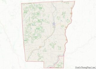
| County: | Chenango County |
| Elevation: | 971 ft (296 m) |
| Total Area: | 1.77 sq mi (4.59 km²) |
| Land Area: | 1.77 sq mi (4.59 km²) |
| Water Area: | 0.00 sq mi (0.00 km²) |
| Total Population: | 1,330 |
| Population Density: | 750.56/sq mi (289.88/km²) |
| ZIP code: | 13830 |
| Area code: | 607 |
| FIPS code: | 3655948 |
| GNISfeature ID: | 0959713 |
| Website: | villageofoxfordny.com |
Online Interactive Map
Click on ![]() to view map in "full screen" mode.
to view map in "full screen" mode.
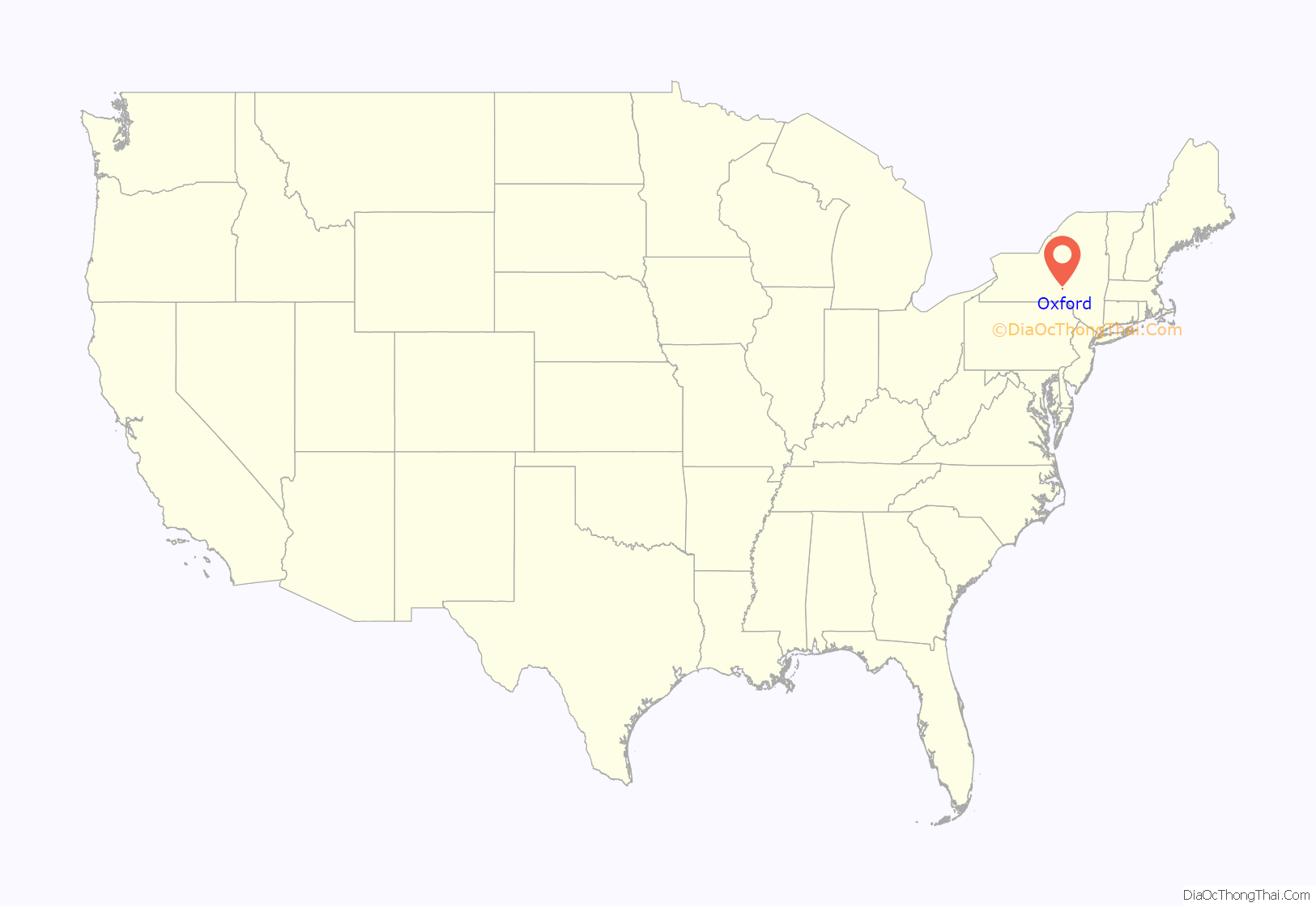
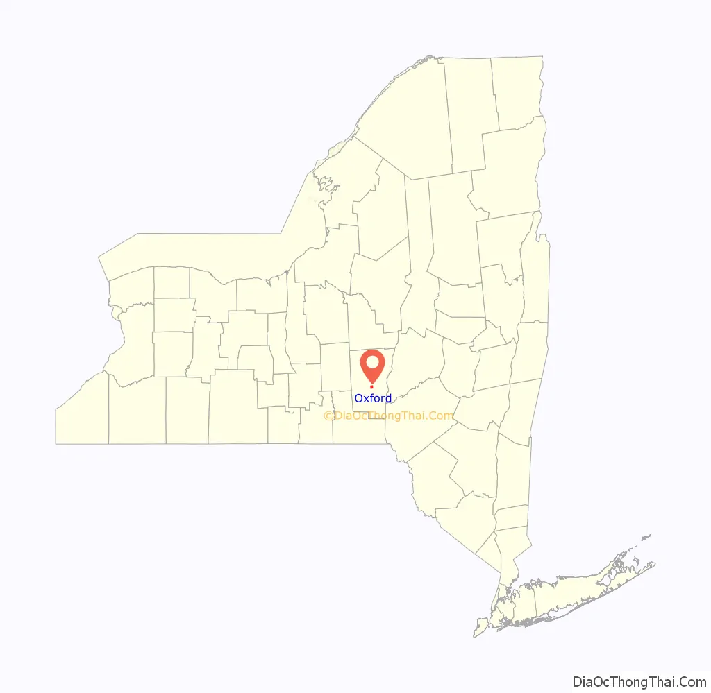
Oxford location map. Where is Oxford village?
History
The village was founded by its first settlers in 1791, including the landowner Benjamin Hovey (1758–1811) who was later a business partner of Aaron Burr and his cousin Theodore Burr.
The former Chenango Canal passed through the village, connecting the community to Utica and Binghamton.
In 1985, many of its historic buildings were included in the Oxford Village Historic District on the National Register of Historic Places.
Oxford Road Map
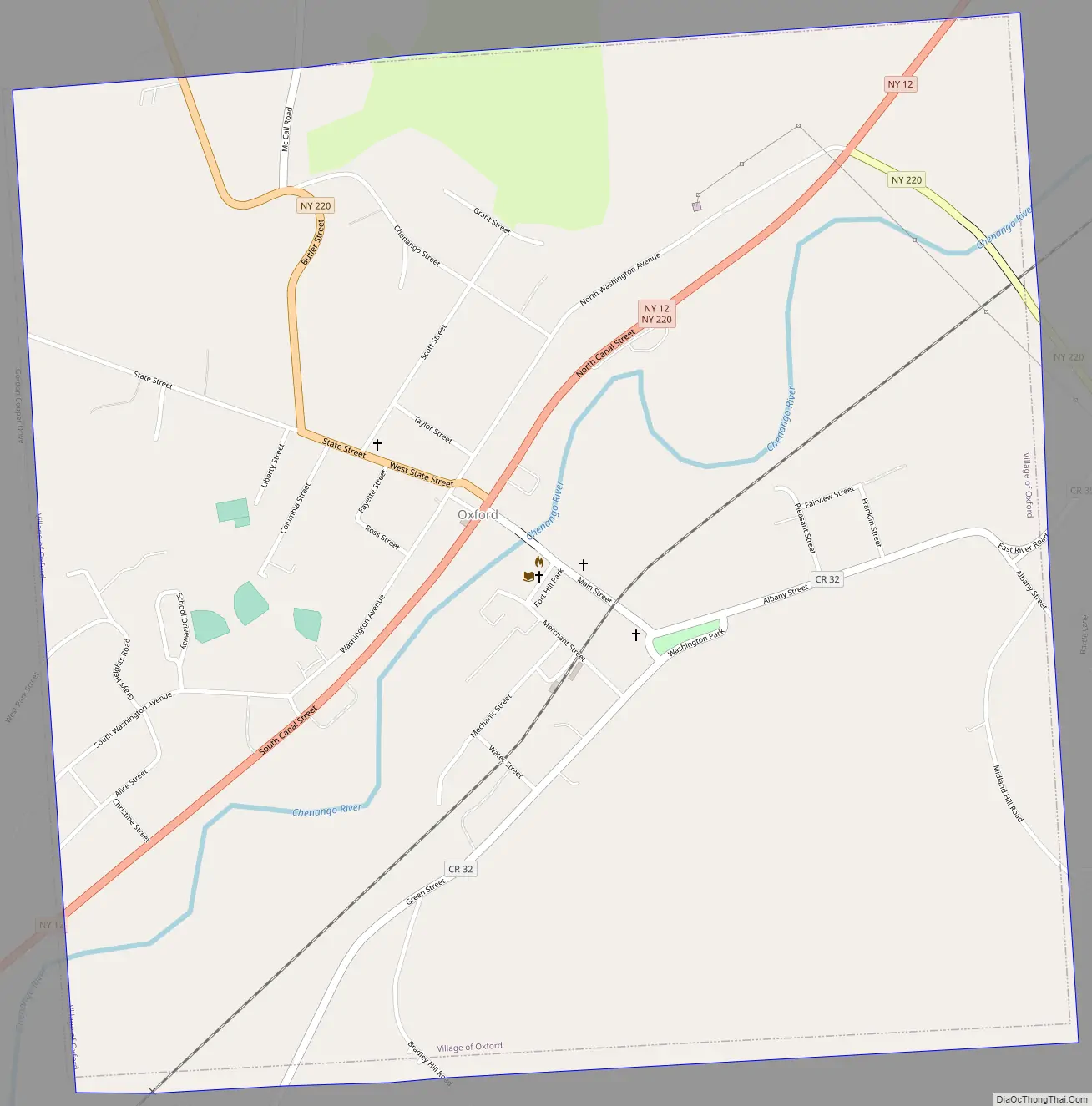
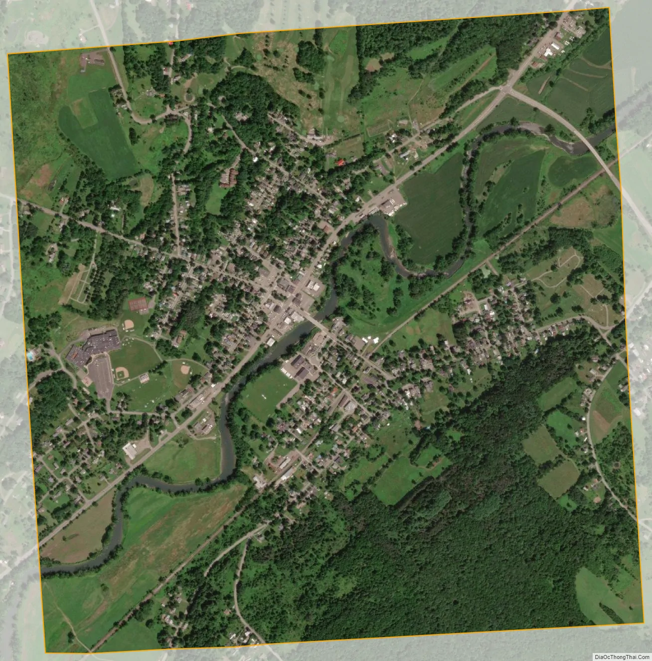
Oxford city Satellite Map
Geography
The village of Oxford is located in the northern part of the town of Oxford at 42°26′32″N 75°35′52″W / 42.44222°N 75.59778°W / 42.44222; -75.59778 (42.442354, -75.597822), in south-central Chenango County. The Chenango River, a south-flowing tributary of the Susquehanna River, divides the village.
According to the United States Census Bureau, the village has a total area of 1.8 square miles (4.6 km) all land.
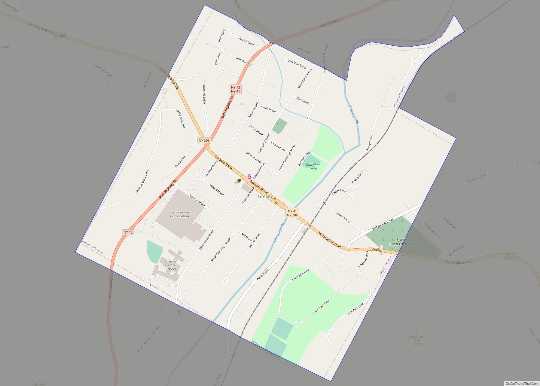
New York State Route 12 (Canal Street) intersects New York State Route 220 (State Street to the west and Main Street to the east) in the village. NY-12 leads northeast 8 miles (13 km) to Norwich, the county seat, and southwest 13 miles (21 km) to Greene.
See also
Map of New York State and its subdivision:- Albany
- Allegany
- Bronx
- Broome
- Cattaraugus
- Cayuga
- Chautauqua
- Chemung
- Chenango
- Clinton
- Columbia
- Cortland
- Delaware
- Dutchess
- Erie
- Essex
- Franklin
- Fulton
- Genesee
- Greene
- Hamilton
- Herkimer
- Jefferson
- Kings
- Lake Ontario
- Lewis
- Livingston
- Madison
- Monroe
- Montgomery
- Nassau
- New York
- Niagara
- Oneida
- Onondaga
- Ontario
- Orange
- Orleans
- Oswego
- Otsego
- Putnam
- Queens
- Rensselaer
- Richmond
- Rockland
- Saint Lawrence
- Saratoga
- Schenectady
- Schoharie
- Schuyler
- Seneca
- Steuben
- Suffolk
- Sullivan
- Tioga
- Tompkins
- Ulster
- Warren
- Washington
- Wayne
- Westchester
- Wyoming
- Yates
- Alabama
- Alaska
- Arizona
- Arkansas
- California
- Colorado
- Connecticut
- Delaware
- District of Columbia
- Florida
- Georgia
- Hawaii
- Idaho
- Illinois
- Indiana
- Iowa
- Kansas
- Kentucky
- Louisiana
- Maine
- Maryland
- Massachusetts
- Michigan
- Minnesota
- Mississippi
- Missouri
- Montana
- Nebraska
- Nevada
- New Hampshire
- New Jersey
- New Mexico
- New York
- North Carolina
- North Dakota
- Ohio
- Oklahoma
- Oregon
- Pennsylvania
- Rhode Island
- South Carolina
- South Dakota
- Tennessee
- Texas
- Utah
- Vermont
- Virginia
- Washington
- West Virginia
- Wisconsin
- Wyoming