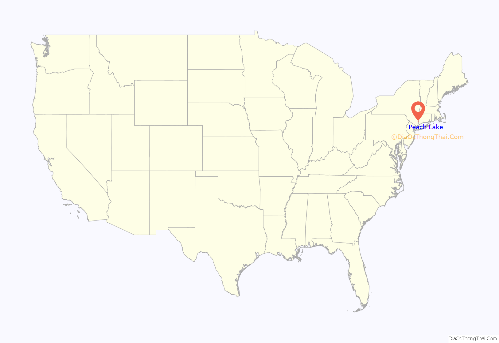
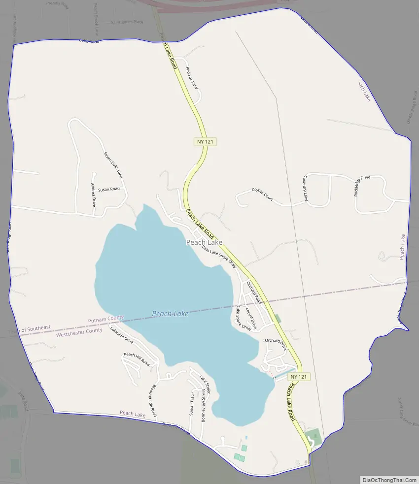
Peach Lake is a hamlet (and census-designated place) located mostly in the town of Southeast in Putnam County, New York, United States; a portion of the CDP is in the town of North Salem in Westchester County. As of the 2010 census, the population was 1,629.
The community of Peach Lake is located on the northeastern side of a lake with the same name. The lake itself is in two counties. The community is south of Interstate 84.
| Name: | Peach Lake CDP |
|---|---|
| LSAD Code: | 57 |
| LSAD Description: | CDP (suffix) |
| State: | New York |
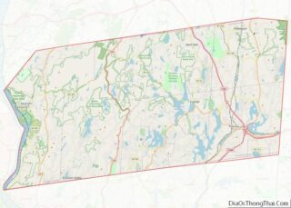
| County: | Putnam County, Westchester County |
| Elevation: | 561 ft (171 m) |
| Total Area: | 2.68 sq mi (6.95 km²) |
| Land Area: | 2.30 sq mi (5.96 km²) |
| Water Area: | 0.38 sq mi (0.98 km²) |
| Total Population: | 1,885 |
| Population Density: | 818.50/sq mi (316.05/km²) |
| FIPS code: | 3656869 |
| GNISfeature ID: | 1867413 |
Online Interactive Map
Click on ![]() to view map in "full screen" mode.
to view map in "full screen" mode.
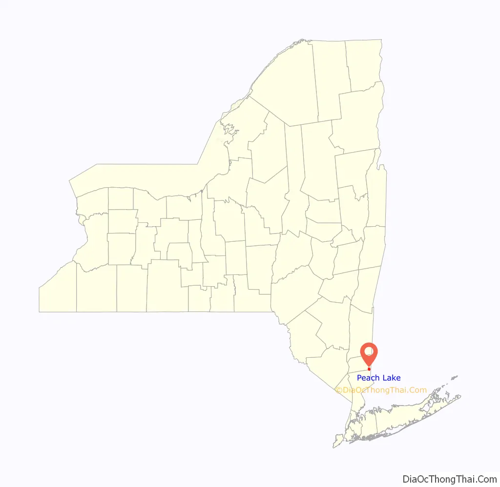
Peach Lake location map. Where is Peach Lake CDP?
History
Peach Lake is located in two towns, North Salem and Southeast, and two counties, Westchester and Putnam. Originally surrounded by farming families, the Bloomer and Palmer families lived on the western side, the Ryder family lived on the northwest side, and to the east were the Vail family.
Prior to 1731, the eastern edge of the Bloomer farm was the border of Connecticut. The area from there to the current state border was given to New York as part of the OBLONG, EQUIVALENCY or Connecticut’s Panhandle agreement.
The area was a strong dairy community from the 1850s through 1915, when the Borden Condensed Milk factory was in production in Brewster. By 1915, the factory closed after New York City condemned much of the property along the rivers and lakes in the area to protect the water quality flowing into the newly created Croton Reservoir system.
The Bloomer family, originally from Rye, New York, started farming the property on the west side of the lake prior to 1760. In 1762 they purchased the land and built, along with the Palmer family, the Peach Lake Meeting House (Quaker Meeting house) at the southeastern corner of the Lake. This Peach Lake meeting house, like many others, starting at Long Island Sound and heading north, was built in the disputed area between the Connecticut and New York colonies called the Oblong.
The Vail family ran the dairy farm on the eastern side of the lake.
The Ryder family, who have for generations controlled the Putnam County National Bank, have farmed land on the northwest side of Peach Lake since the 18th century.
North Salem was part of the tribal land of a Wappinger Indian band known as the Kitawonks (or Kitchawanks), who laid claim to all the lands bordering the Kitchewan or Croton River that separates North Salem from present-day Somers. Although the name of the lake is Peach Lake, there was no peach orchards in the surrounding area. During the 1600s and 1700s, the lake was called Lake Pehquenakonck. Dutch documents, such as Van der Donck’s 1656 History of New Netherland, mention the area. Other maps from Dutch archives, circa 1685, show the “Indian Tribes of the New World” and locations of Indian villages, include Lake Pehquenakonck. The area was later named as Peach Pond, derived from the Indian word Pech-Quen. By the mid-1800s, the name was changed again, to Peach Lake.
The bulk of North Salem’s residential properties are made up of 1,900 single-family homes – some from the 18th and 19th centuries.
Peach Lake Road Map
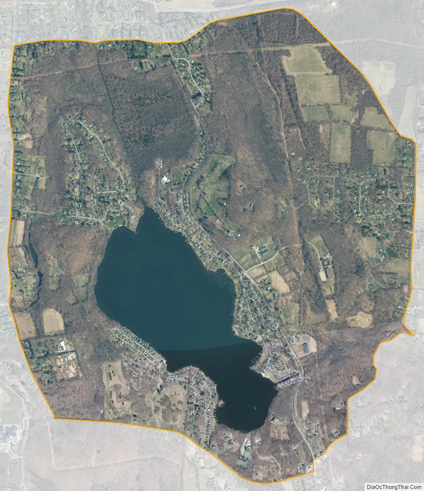
Peach Lake city Satellite Map
Geography
Peach Lake is located at 41°21′49″N 73°34′28″W / 41.363521°N 73.574454°W / 41.363521; -73.574454 (41.363521, -73.574454).
According to the United States Census Bureau, the CDP has a total area of 3.1 square miles (8.0 km), of which 2.7 square miles (7.0 km) is land and 0.4 square miles (1.0 km), or 11.76%, is water.
The Lake
Spring fed Peach Lake is located in the towns of North Salem and Southeast. The lake is 1.5 miles (2.4 km) long, 0.5 miles (0.80 km) wide at its center, and reaches a maximum depth of approximately 24 feet (7.3 m). Its western side is deeper than the eastern, unequally scalloped by glacial gouging. A sharp thermocline is present at a depth of about 11 to 13 feet (3.4 to 4.0 m) where the water temperature may change 15 °F (−9 °C) within an inch. This thermocline protects the lake from excessive weed growth in areas of the lake that are deeper than the thermocline layer, as it is simply too cold for the weeds to start growing. This temperature gradient is caused by the natural springs that feed the lake. There are no rivers entering the lake and only a very small intermittent stream on the southeastern corner.
The lake is a Class B reservoir for the New York City water supply system and, unusually for the area, outflows north through Peach Lake Brook into the East Branch Reservoir in the town of Southeast, which is part of the Croton Reservoir system.
See also
Map of New York State and its subdivision:- Albany
- Allegany
- Bronx
- Broome
- Cattaraugus
- Cayuga
- Chautauqua
- Chemung
- Chenango
- Clinton
- Columbia
- Cortland
- Delaware
- Dutchess
- Erie
- Essex
- Franklin
- Fulton
- Genesee
- Greene
- Hamilton
- Herkimer
- Jefferson
- Kings
- Lake Ontario
- Lewis
- Livingston
- Madison
- Monroe
- Montgomery
- Nassau
- New York
- Niagara
- Oneida
- Onondaga
- Ontario
- Orange
- Orleans
- Oswego
- Otsego
- Putnam
- Queens
- Rensselaer
- Richmond
- Rockland
- Saint Lawrence
- Saratoga
- Schenectady
- Schoharie
- Schuyler
- Seneca
- Steuben
- Suffolk
- Sullivan
- Tioga
- Tompkins
- Ulster
- Warren
- Washington
- Wayne
- Westchester
- Wyoming
- Yates
- Alabama
- Alaska
- Arizona
- Arkansas
- California
- Colorado
- Connecticut
- Delaware
- District of Columbia
- Florida
- Georgia
- Hawaii
- Idaho
- Illinois
- Indiana
- Iowa
- Kansas
- Kentucky
- Louisiana
- Maine
- Maryland
- Massachusetts
- Michigan
- Minnesota
- Mississippi
- Missouri
- Montana
- Nebraska
- Nevada
- New Hampshire
- New Jersey
- New Mexico
- New York
- North Carolina
- North Dakota
- Ohio
- Oklahoma
- Oregon
- Pennsylvania
- Rhode Island
- South Carolina
- South Dakota
- Tennessee
- Texas
- Utah
- Vermont
- Virginia
- Washington
- West Virginia
- Wisconsin
- Wyoming