Pearl River is a hamlet and census-designated place in the town of Orangetown, Rockland County, New York, United States. It is east of Chestnut Ridge, south of Nanuet, west of Blauvelt, New York, and north of Montvale and Old Tappan, New Jersey. The population was 15,876 at the 2010 census.
Pearl River is 20 miles (32 km) north of midtown Manhattan and just north of the New Jersey border. It is the first (traveling north) of three New York stops on New Jersey Transit’s Pascack Valley Line.
| Name: | Pearl River CDP |
|---|---|
| LSAD Code: | 57 |
| LSAD Description: | CDP (suffix) |
| State: | New York |
| County: | Rockland County |
| Elevation: | 240 ft (73 m) |
| Total Area: | 7.19 sq mi (18.63 km²) |
| Land Area: | 6.79 sq mi (17.59 km²) |
| Water Area: | 0.40 sq mi (1.03 km²) |
| Total Population: | 16,567 |
| Population Density: | 2,438.83/sq mi (941.59/km²) |
| ZIP code: | 10965 |
| Area code: | 845 |
| FIPS code: | 3656902 |
| GNISfeature ID: | 0960056 |
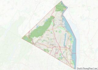
Online Interactive Map
Click on ![]() to view map in "full screen" mode.
to view map in "full screen" mode.
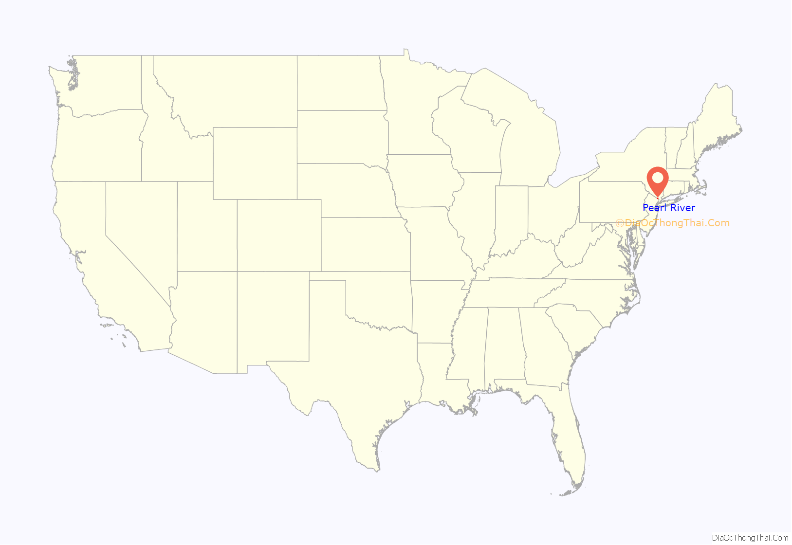
Pearl River location map. Where is Pearl River CDP?
History
In 1696, Pearl River was part of a larger piece of land known as the Kakiat Patent that was granted to Daniel Honan and Michael Hawdon. In 1713, the land was split into north and south plots. After the Revolutionary War, the land was further divided and sold. Pearl River was a piece of land made up of woods and swamps originally called Muddy Creek.
In the early 1870s, the town was divided into five different parts: Middletown, Sickletown, Pascack, Muddy Brook, and Naurashaun.
There are conflicting accounts on how Muddy Creek came to be named Pearl River. According to some historians, a town resident named Ves Bogert found small pearls in mussels that thrived in Muddy Brook and, upon hearing this, the wife of John Demarest, the president of the New Jersey and New York Railroad, suggested the name “Pearl River” to him.
Another account is that the name change was made to make the station sound more appealing on railroad schedules. A third account is that Julius E. Braunsdorf wanted to enhance the hamlet’s business image by renaming it Pearl River. In any event, there is no body of water near the hamlet called Pearl River; the most significant stream is Muddy Brook.
Braunsdorf, an industrialist and German immigrant, purchased Muddy Creek in 1870. He donated a long strip of land through the center of his property to the New Jersey and New York Railroad to enable it to bring an extension of the line from Hillsdale, New Jersey north to Nanuet.
Braunsdorf was the “Father of Pearl River” and established Aetna Sewing Machine Company to produce his patented home sewing machine in 1872. Later that year the first post office was established in the hamlet and from then on it was known as Pearl River.
Braunsdorf invented and manufactured the carbon-arc light bulb in 1873, six years before Thomas Edison’s carbonized filament version. It was installed and used on ships in New York harbor for loading and unloading operations. He also designed generators, one of which powered the first incandescent electric lights, which he also invented, in the nation’s capital.
When Braunsdorf designed the street layout, the only existing streets were Pearl Street and Washington Avenue. He drew a wide main street through the middle of town and called it Central Avenue. Parallel to Central Avenue he drew Franklin, after his hero, Benjamin Franklin. To connect Washington, Central, and Franklin he drew three streets and named them William, John and Henry, after his sons.
Braunsdorf built:
- 1872 – The Aetna Sewing Machine Company, the largest factory in Pearl River, and ceded land to the railroad company so workers from New York City could get to his factory.
- 1872 – The Pearl River Post Office and became the first Postmaster.
- 1873 – Two brick train stations (passenger/freight) still in use today.
- The Pearl River Hotel
- Low-cost housing for the factory employees he attracted from Germany and Scandinavia.
In 1894, Talbot C. Dexter moved his Dexter Folder Company to Pearl River. On August 25, 1885, Dexter filed a patent for an automatic folding machine that changed the way newspapers, books, and magazines were folded and assembled. Between 1885 and 1913, Dexter filed many patents, some still in use today.
In 1907, Ernst J. Lederle, former New York City Health Commissioner, established the Lederle Antitoxin Laboratories in Pearl River. In 1930, it became Lederle Laboratories, a division of American Cyanamid. During World War II, Lederle was a major supplier of vaccines and blood plasma to the U.S. armed forces.
In 1931, Gottfried (Fred) Schmidt invented the automatic pinsetter. Brunswick was not interested in an automatic machine at the time. In 1937, AMF acquired the patent rights to this early machine—The “Sch-Bec-Roy”, which stood for Schmidt (inventor), Beckerle (bowling alley proprietor) and McElroy (blueprint designer).
In 1955, Pearl River was the setting for Norby, an NBC situation comedy that aired from January to April of that year and was one of the first regular television series filmed in color. It starred David Wayne as a small-town banker who lived and worked in Pearl River, where the 13 episodes of the series were filmed.
In 2011, CNNMoney.com ranked Pearl River 78th on its annual “100 Best Places to Live” list.
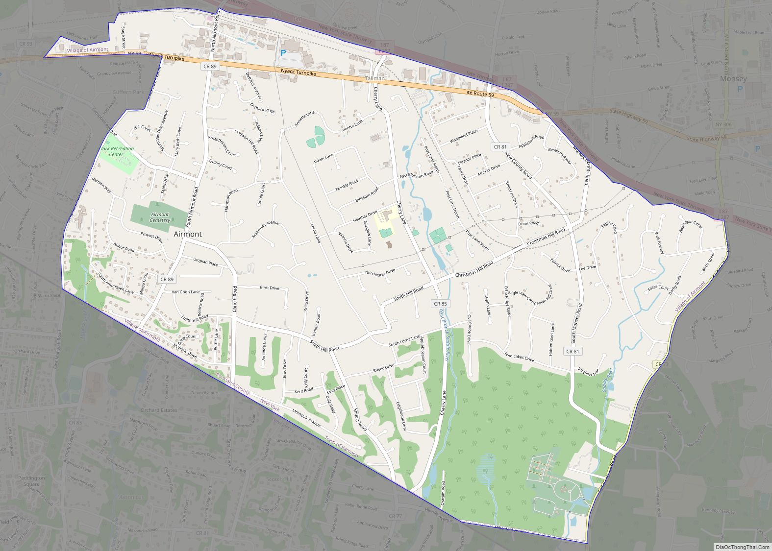
Pearl River Road Map
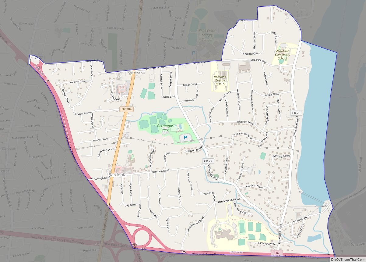
Pearl River city Satellite Map
Geography
Pearl River is located at 41°3′32.8″N 74°1′12.9″W / 41.059111°N 74.020250°W / 41.059111; -74.020250 (41.0591,-74.02025). According to the United States Census Bureau, the CDP has an area of 7.2 square miles (19 km), of which 6.8 square miles (18 km) is land and 0.3 square miles (0.78 km), or 4.87%, is water.
See also
Map of New York State and its subdivision:- Albany
- Allegany
- Bronx
- Broome
- Cattaraugus
- Cayuga
- Chautauqua
- Chemung
- Chenango
- Clinton
- Columbia
- Cortland
- Delaware
- Dutchess
- Erie
- Essex
- Franklin
- Fulton
- Genesee
- Greene
- Hamilton
- Herkimer
- Jefferson
- Kings
- Lake Ontario
- Lewis
- Livingston
- Madison
- Monroe
- Montgomery
- Nassau
- New York
- Niagara
- Oneida
- Onondaga
- Ontario
- Orange
- Orleans
- Oswego
- Otsego
- Putnam
- Queens
- Rensselaer
- Richmond
- Rockland
- Saint Lawrence
- Saratoga
- Schenectady
- Schoharie
- Schuyler
- Seneca
- Steuben
- Suffolk
- Sullivan
- Tioga
- Tompkins
- Ulster
- Warren
- Washington
- Wayne
- Westchester
- Wyoming
- Yates
- Alabama
- Alaska
- Arizona
- Arkansas
- California
- Colorado
- Connecticut
- Delaware
- District of Columbia
- Florida
- Georgia
- Hawaii
- Idaho
- Illinois
- Indiana
- Iowa
- Kansas
- Kentucky
- Louisiana
- Maine
- Maryland
- Massachusetts
- Michigan
- Minnesota
- Mississippi
- Missouri
- Montana
- Nebraska
- Nevada
- New Hampshire
- New Jersey
- New Mexico
- New York
- North Carolina
- North Dakota
- Ohio
- Oklahoma
- Oregon
- Pennsylvania
- Rhode Island
- South Carolina
- South Dakota
- Tennessee
- Texas
- Utah
- Vermont
- Virginia
- Washington
- West Virginia
- Wisconsin
- Wyoming
