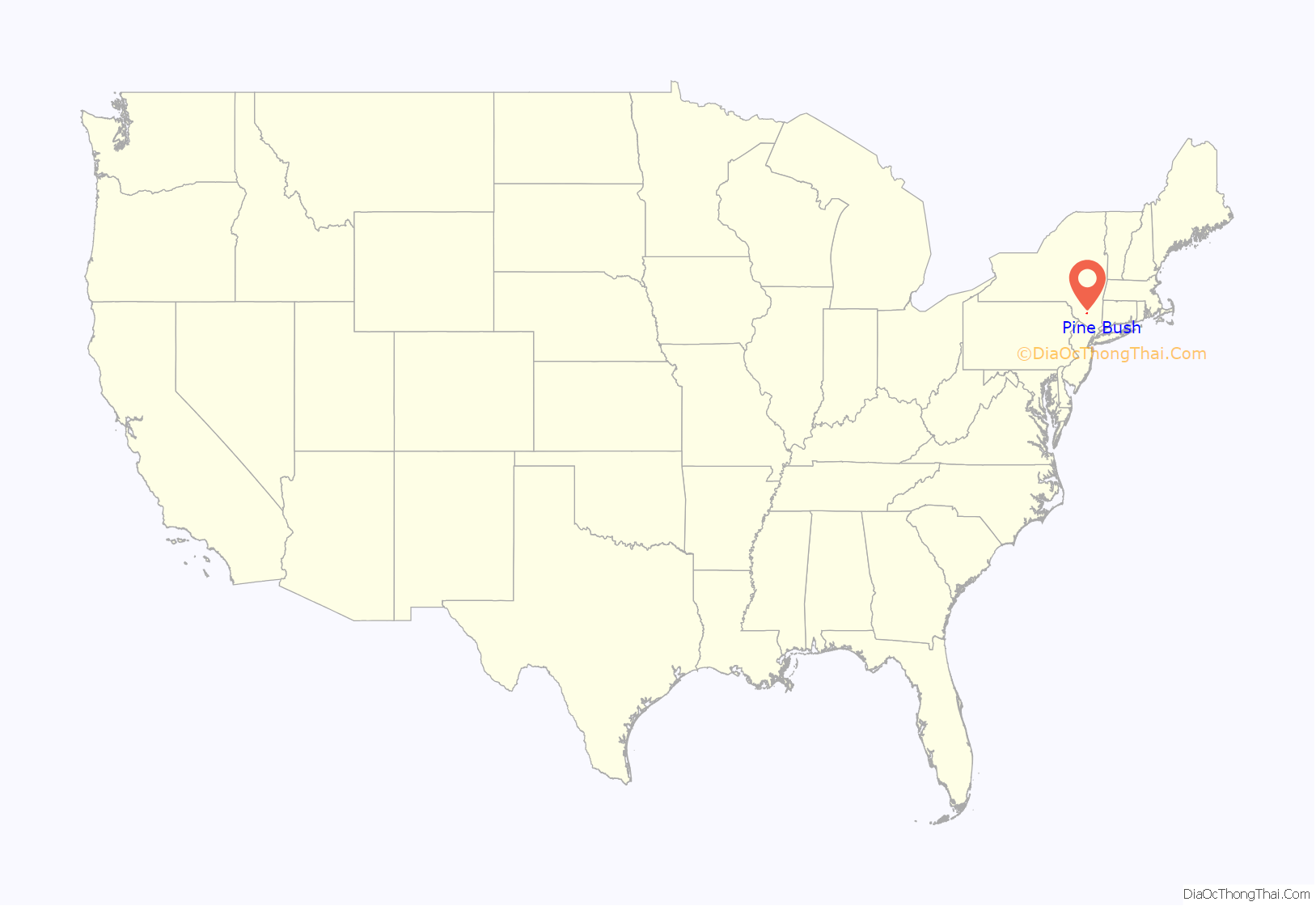
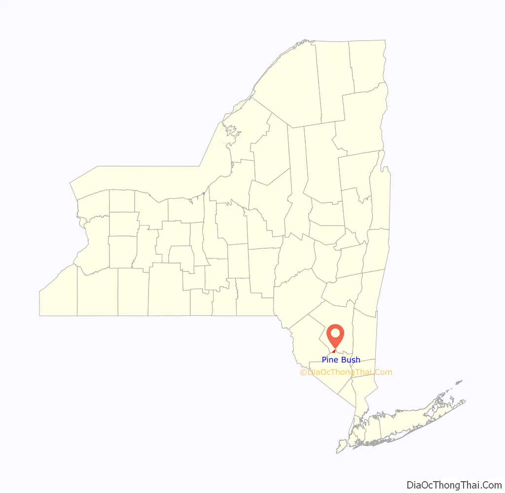
Pine Bush is a hamlet (and census-designated place) located in the Town of Crawford and adjacent to Shawangunk, New York, within Orange and adjacent to Ulster counties in the U.S. It is roughly coterminous with the 12566 ZIP code and 744 telephone exchange in the 845 area code. These both extend into adjacent regions of the Town of Shawangunk in Ulster County. (The Pine Bush Central School District takes in part of the Town of Mamakating in Sullivan County as well). The population was 1,751 at the 2020 census.
Pine Bush is part of the Poughkeepsie–Newburgh–Middletown, NY Metropolitan Statistical Area as well as the larger New York–Newark–Bridgeport, NY-NJ–CT–PA Combined Statistical Area.
| Name: | Pine Bush CDP |
|---|---|
| LSAD Code: | 57 |
| LSAD Description: | CDP (suffix) |
| State: | New York |
| County: | Orange County |
| Elevation: | 387 ft (118 m) |
| Total Area: | 2.11 sq mi (5.46 km²) |
| Land Area: | 2.11 sq mi (5.46 km²) |
| Water Area: | 0.00 sq mi (0.01 km²) |
| Total Population: | 1,751 |
| Population Density: | 831.43/sq mi (320.98/km²) |
| ZIP code: | 12566 |
| Area code: | 845 |
| FIPS code: | 3657980 |
| GNISfeature ID: | 0960421 |
Online Interactive Map
Click on ![]() to view map in "full screen" mode.
to view map in "full screen" mode.
Pine Bush location map. Where is Pine Bush CDP?
History
The community was one of the four early nineteenth century settlements in the jurisdiction of the town. It has previously been known as “Shawangunk,” “Crawford,” and “Bloomfield.” Another community named “Crawford” is located to the northwest in bordering Ulster County. This hamlet was an early terminus for a short line railroad, the Middletown & Crawford Railroad. This line was bought by the Erie railroad, which served the town until the 1970s.
As a result of reported unusual sightings during the mid-1980s, Pine Bush developed a reputation as the UFO capital of the world. This characterization was supported by Ellen Crystall’s book, Silent Invasion: The Shocking Discoveries of a UFO Researcher. The town has held an annual UFO festival for many years.
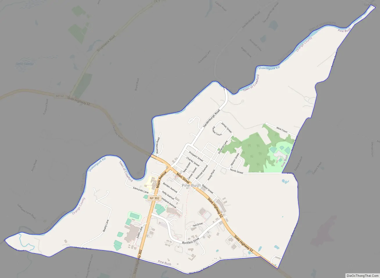
Pine Bush Road Map
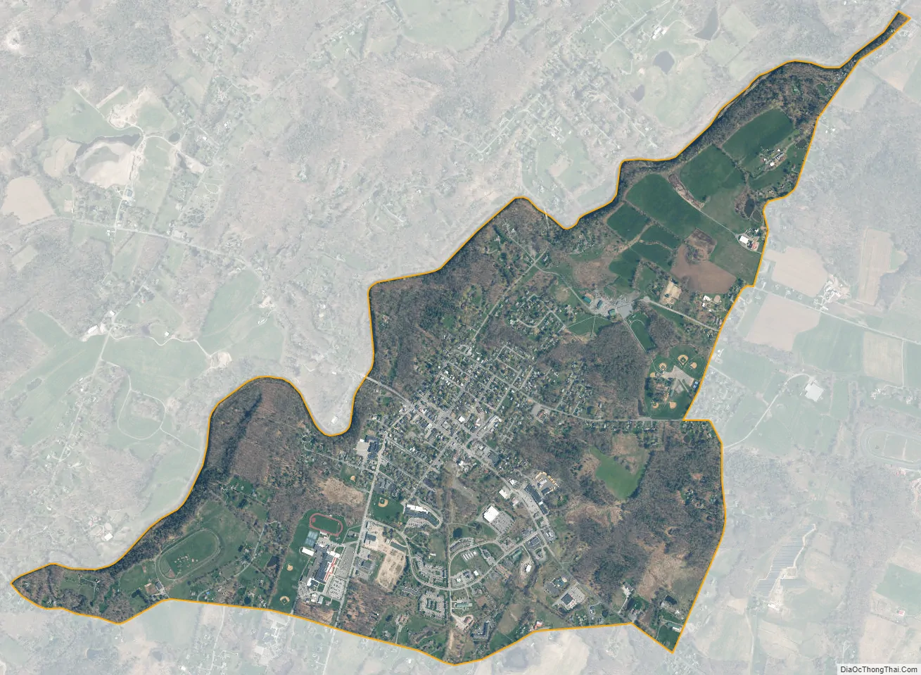
Pine Bush city Satellite Map
Geography
Pine Bush is located at 41°36′N 74°18′W / 41.600°N 74.300°W / 41.600; -74.300 (41.6088, -74.2987). According to the United States Census Bureau, the CDP has a total area of 2.1 square miles (5.4 km), all land.
The hamlet of Pine Bush is in Orange County and near the border of Ulster. The Pine Bush zip code, 12566, spills over into the Town of Shawangunk in Ulster County, but the Hamlet itself is in Orange County only. The Shawangunk Kill, a small river, marks this boundary. New York State Route 52 and New York State Route 302 intersect at this hamlet, which predates the highways.
See also
Map of New York State and its subdivision:- Albany
- Allegany
- Bronx
- Broome
- Cattaraugus
- Cayuga
- Chautauqua
- Chemung
- Chenango
- Clinton
- Columbia
- Cortland
- Delaware
- Dutchess
- Erie
- Essex
- Franklin
- Fulton
- Genesee
- Greene
- Hamilton
- Herkimer
- Jefferson
- Kings
- Lake Ontario
- Lewis
- Livingston
- Madison
- Monroe
- Montgomery
- Nassau
- New York
- Niagara
- Oneida
- Onondaga
- Ontario
- Orange
- Orleans
- Oswego
- Otsego
- Putnam
- Queens
- Rensselaer
- Richmond
- Rockland
- Saint Lawrence
- Saratoga
- Schenectady
- Schoharie
- Schuyler
- Seneca
- Steuben
- Suffolk
- Sullivan
- Tioga
- Tompkins
- Ulster
- Warren
- Washington
- Wayne
- Westchester
- Wyoming
- Yates
- Alabama
- Alaska
- Arizona
- Arkansas
- California
- Colorado
- Connecticut
- Delaware
- District of Columbia
- Florida
- Georgia
- Hawaii
- Idaho
- Illinois
- Indiana
- Iowa
- Kansas
- Kentucky
- Louisiana
- Maine
- Maryland
- Massachusetts
- Michigan
- Minnesota
- Mississippi
- Missouri
- Montana
- Nebraska
- Nevada
- New Hampshire
- New Jersey
- New Mexico
- New York
- North Carolina
- North Dakota
- Ohio
- Oklahoma
- Oregon
- Pennsylvania
- Rhode Island
- South Carolina
- South Dakota
- Tennessee
- Texas
- Utah
- Vermont
- Virginia
- Washington
- West Virginia
- Wisconsin
- Wyoming


