Poland is a village in Herkimer County, New York, United States. The population was 508 at the 2010 census.
Poland is on the border shared by the towns of Newport and Russia. The village is 16 miles (26 km) north of the county seat in Herkimer and is 14 miles (23 km) northeast of Utica. Poland Central School has roughly 500 students from grades pre-k through 12th grade.
| Name: | Poland village |
|---|---|
| LSAD Code: | 47 |
| LSAD Description: | village (suffix) |
| State: | New York |
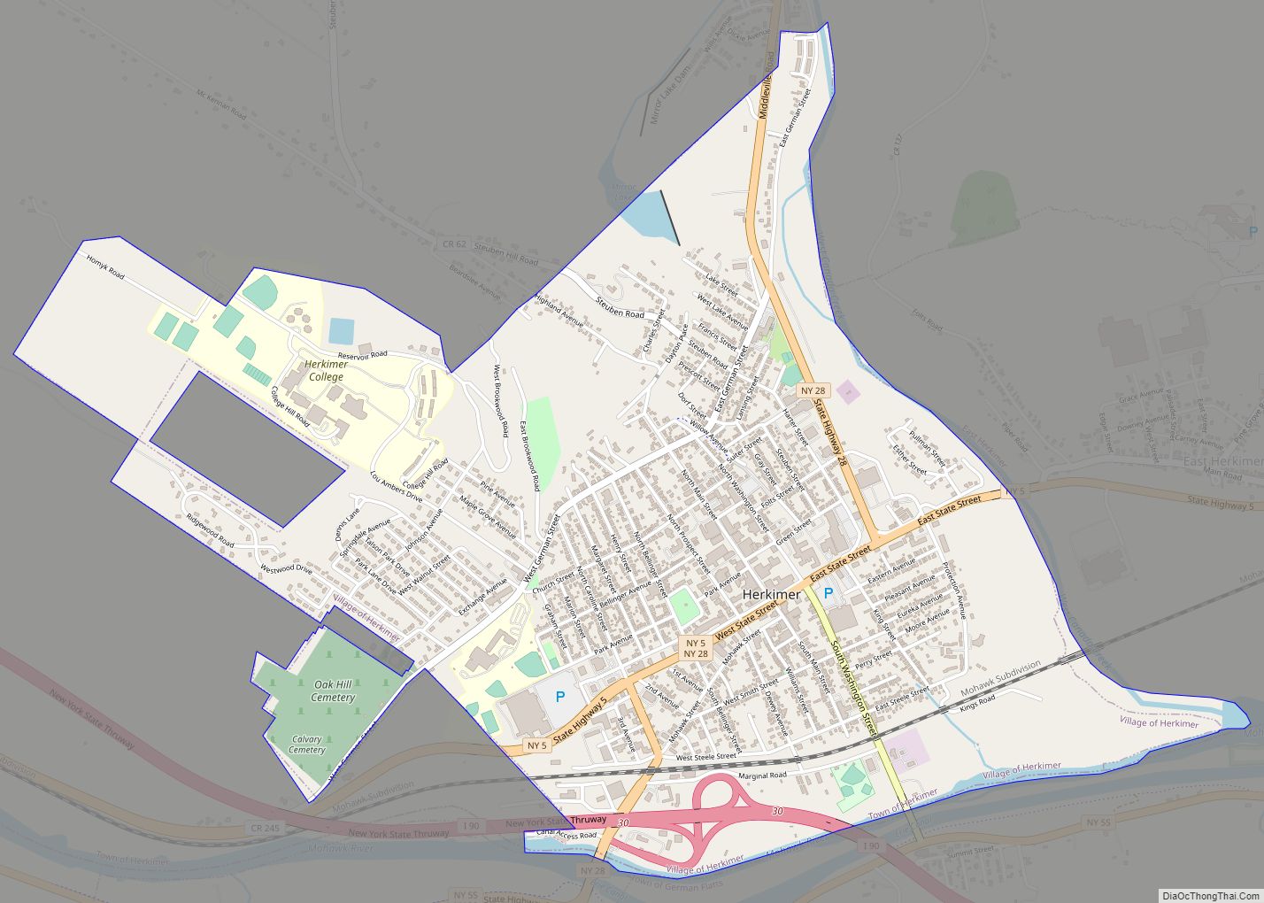
| County: | Herkimer County |
| Incorporated: | 1890 |
| Elevation: | 675 ft (206 m) |
| Total Area: | 0.55 sq mi (1.42 km²) |
| Land Area: | 0.54 sq mi (1.41 km²) |
| Water Area: | 0.01 sq mi (0.02 km²) |
| Total Population: | 464 |
| Population Density: | 854.51/sq mi (329.98/km²) |
| ZIP code: | 13431 |
| Area code: | 315 |
| FIPS code: | 3658937 |
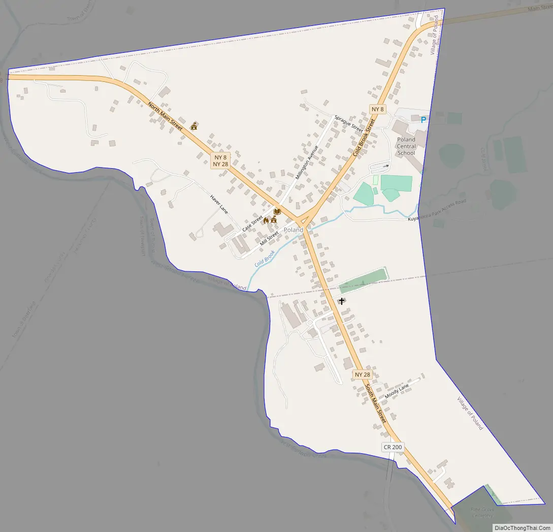
Online Interactive Map
Click on ![]() to view map in "full screen" mode.
to view map in "full screen" mode.
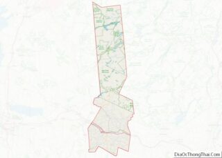
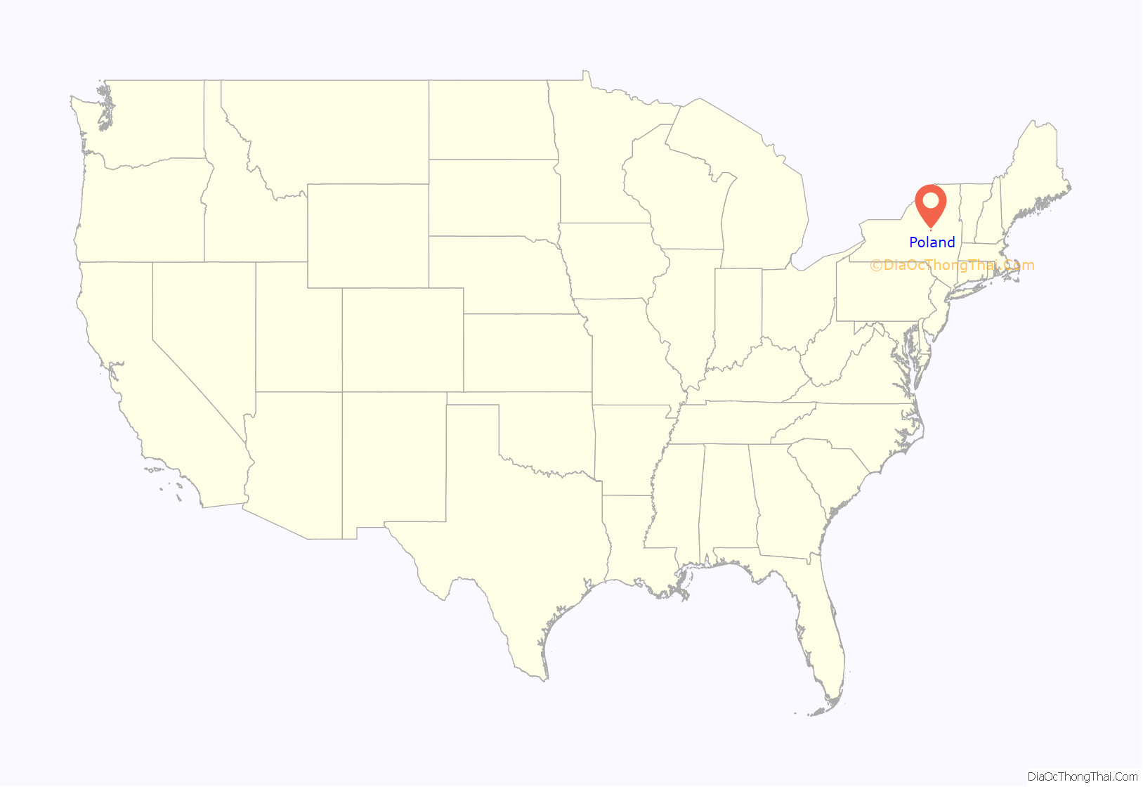
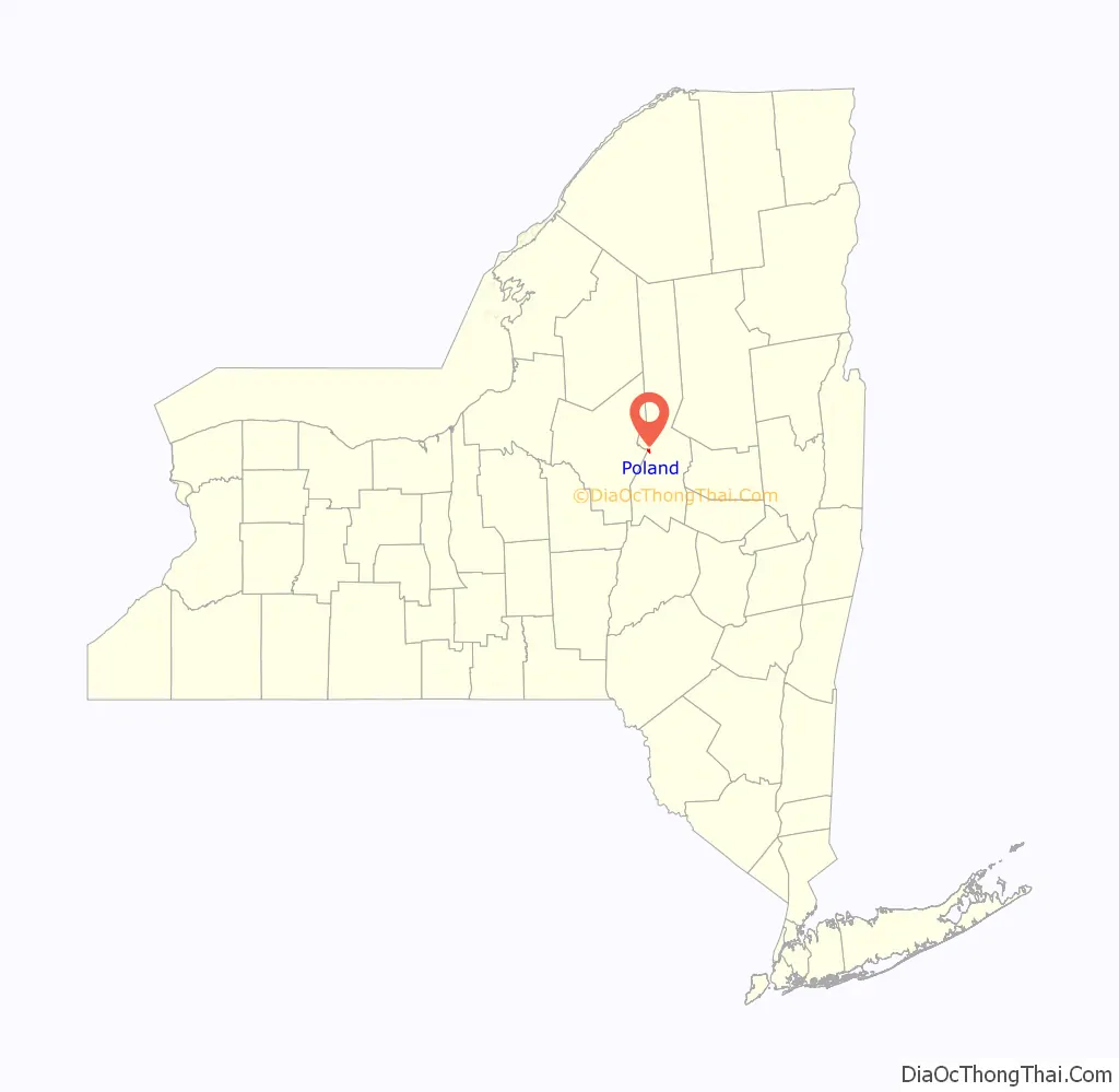
Poland location map. Where is Poland village?
History
Poland was briefly called “Maple Valley” and “Russia Flats” when it was first settled around 1800 on land owned by Samuel Wright. The first post office, established in 1838 in the hotel at the corner of Main and Case streets, was known as “Danielsville”, after Nahum Daniels, who owned a large amount of land in the village. The first postmaster, Joseph Benchley, soon changed the name because of the confusion with Dansville in western New York. The simplest explanation for the name “Poland” is that the village is adjacent to and southwest of Russia, New York, just like Poland in Europe. It is the only U.S. place called Poland to be named after the country, the rest are named after people or are of obscure origin. In 2019, Poland Central School caught on fire from a wiring issue in the basement.
In 1869 there were 200 residents and approximately 60 buildings. By the 1880s there was a church, store, hotels, grist- and sawmill, tannery sash and blind factory, wagon shop, two blacksmith shops, cheese box factory, cabinet shop, and a bootjack and ladder manufacturer. House building was booming.
Poland had a stop on the Herkimer, Newport and Poland Railway.
By 1906, there were more than 150 buildings even after two disastrous fires.
Poland was incorporated May 10, 1890, with Charles Bowen as the first President (mayor).
Poland Road Map
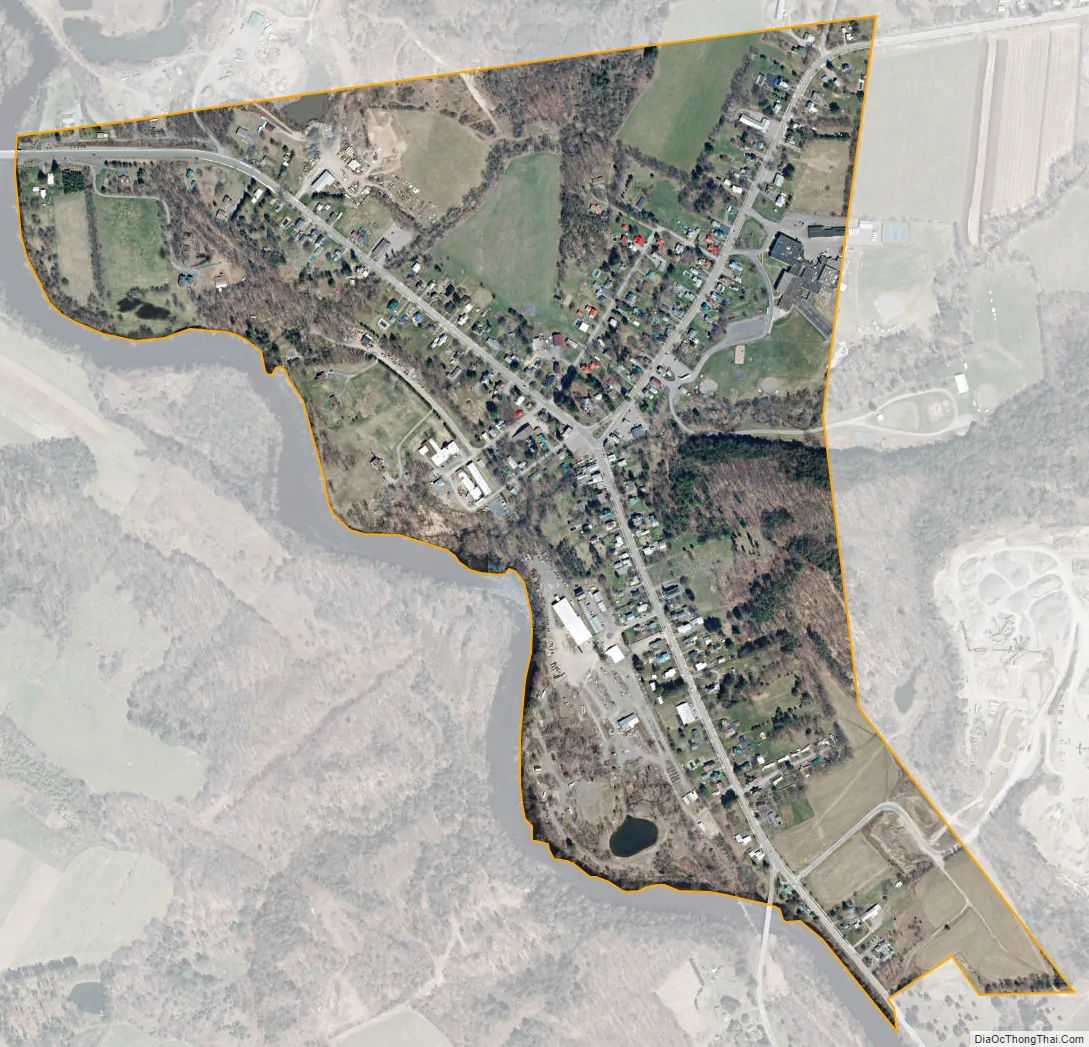
Poland city Satellite Map
Geography
Poland is located in western Herkimer County at 43°13′34″N 75°3′41″W / 43.22611°N 75.06139°W / 43.22611; -75.06139 (43.226178, −75.061521). Slightly more than half the village lies in the southern corner of the town of Russia, while the rest of the village extends south into the northwestern corner of the town of Newport.
According to the United States Census Bureau, the village has a total area of 0.55 square miles (1.42 km), of which 0.01 square miles (0.02 km), or 1.15%, are water. West Canada Creek, a tributary of the Mohawk River, forms the southwestern boundary of the village. Poland is at the junction of Routes NY-8 (Cold Brook Street) and NY-28 (Main Street).
See also
Map of New York State and its subdivision:- Albany
- Allegany
- Bronx
- Broome
- Cattaraugus
- Cayuga
- Chautauqua
- Chemung
- Chenango
- Clinton
- Columbia
- Cortland
- Delaware
- Dutchess
- Erie
- Essex
- Franklin
- Fulton
- Genesee
- Greene
- Hamilton
- Herkimer
- Jefferson
- Kings
- Lake Ontario
- Lewis
- Livingston
- Madison
- Monroe
- Montgomery
- Nassau
- New York
- Niagara
- Oneida
- Onondaga
- Ontario
- Orange
- Orleans
- Oswego
- Otsego
- Putnam
- Queens
- Rensselaer
- Richmond
- Rockland
- Saint Lawrence
- Saratoga
- Schenectady
- Schoharie
- Schuyler
- Seneca
- Steuben
- Suffolk
- Sullivan
- Tioga
- Tompkins
- Ulster
- Warren
- Washington
- Wayne
- Westchester
- Wyoming
- Yates
- Alabama
- Alaska
- Arizona
- Arkansas
- California
- Colorado
- Connecticut
- Delaware
- District of Columbia
- Florida
- Georgia
- Hawaii
- Idaho
- Illinois
- Indiana
- Iowa
- Kansas
- Kentucky
- Louisiana
- Maine
- Maryland
- Massachusetts
- Michigan
- Minnesota
- Mississippi
- Missouri
- Montana
- Nebraska
- Nevada
- New Hampshire
- New Jersey
- New Mexico
- New York
- North Carolina
- North Dakota
- Ohio
- Oklahoma
- Oregon
- Pennsylvania
- Rhode Island
- South Carolina
- South Dakota
- Tennessee
- Texas
- Utah
- Vermont
- Virginia
- Washington
- West Virginia
- Wisconsin
- Wyoming