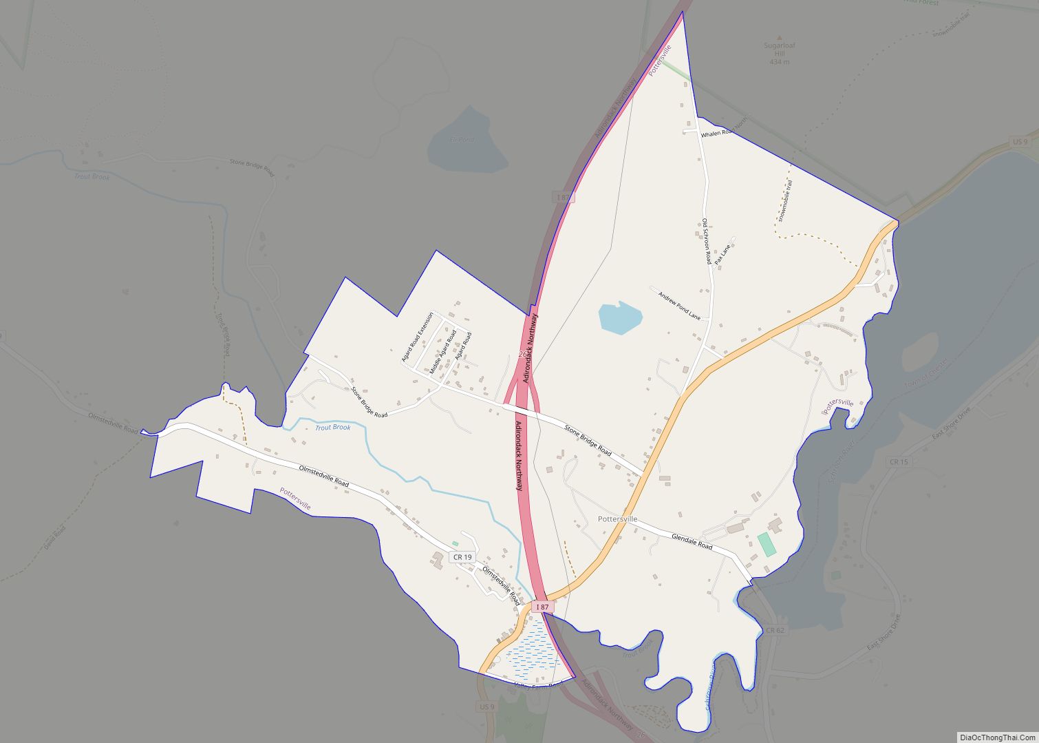
Pottersville is a hamlet and census-designated place in Chester, Warren County, New York, United States. In the census of 2010, the population was 424. The town is located in Adirondack Park on U.S. Route 9. Pottersville is home to the largest marble cave entrance in the eastern United States. (“Natural Stone Bridge and Caves”, Web).
| Name: | Pottersville CDP |
|---|---|
| LSAD Code: | 57 |
| LSAD Description: | CDP (suffix) |
| State: | New York |
| County: | Warren County |
| FIPS code: | 3659619 |
Online Interactive Map
Click on ![]() to view map in "full screen" mode.
to view map in "full screen" mode.
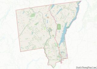
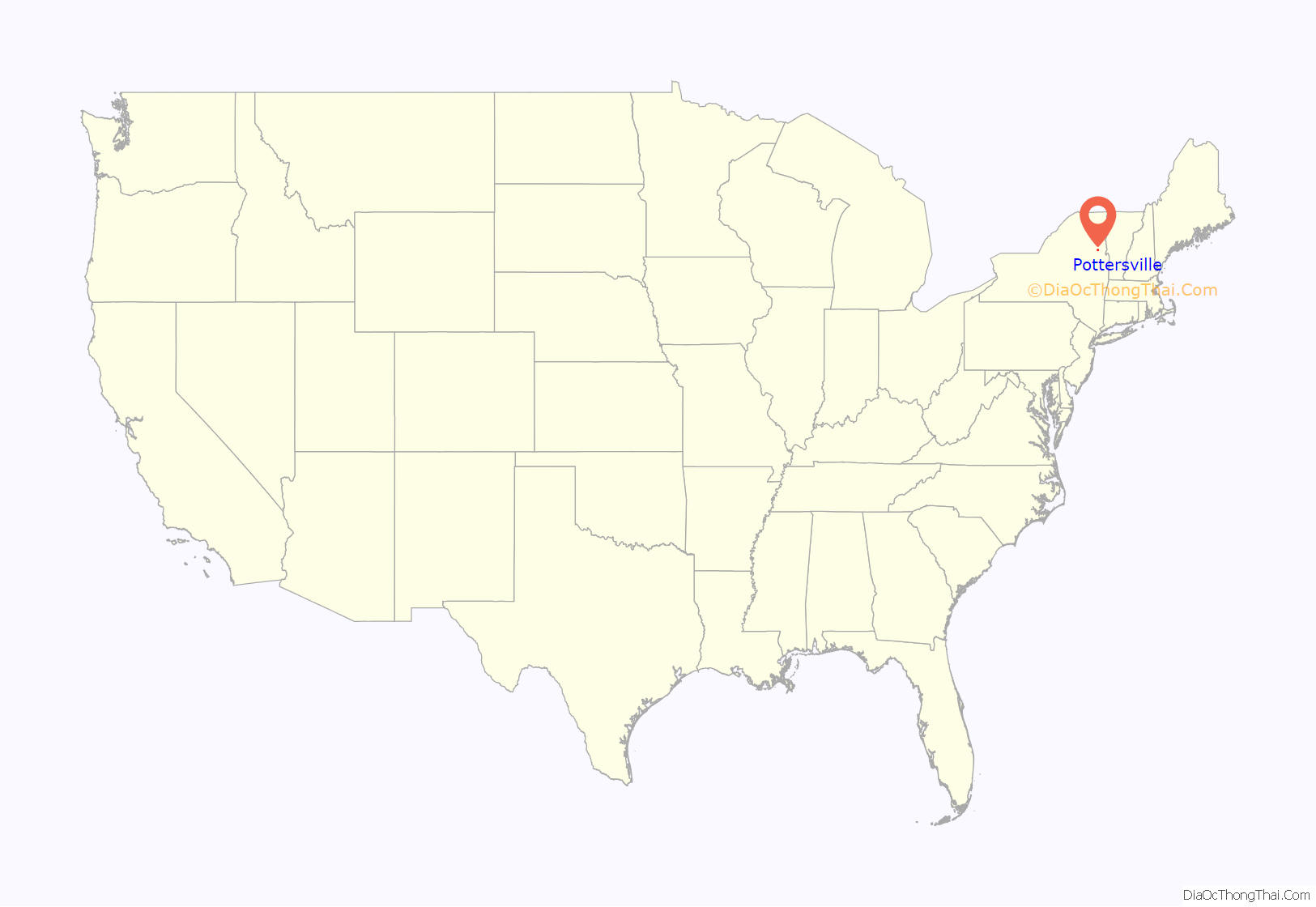
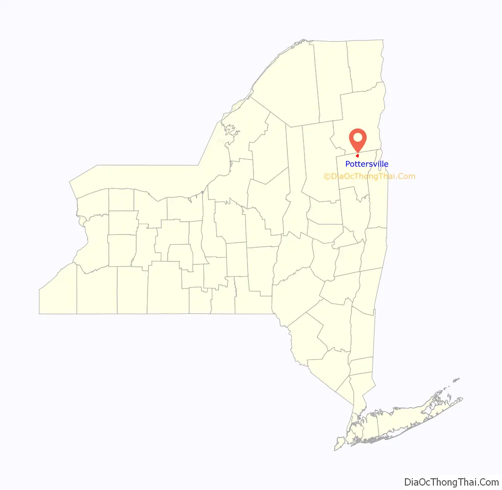
Pottersville location map. Where is Pottersville CDP?
History
Pottersville was founded on March 25, 1799, as a part of the Town of Chester, Warren County. The town was mainly agricultural; most families owned livestock, such as sheep, for access to clothing material. Carding mills and tanneries were eventually built as the first forms of manufacturing outside of the home. In 1805, roads connecting Town of Chester were opened and are in the same spots today.
Production in the Town of Chester in the year 1845 included 50,036 pounds of butter, 11,990 pounds of cheese, 31,176 bushels of potatoes and 20,372 yards of cloth. These statistics prove the Town of Chester to be a mostly-agricultural society in the 19th century.
Travelers would often stop in at the Wells House (built in 1845 by Joseph Hotchkiss) which offered memorable hospitality as a hotel. The Wells House offered fish dinners caught on Schroon Lake and venison from the surrounding forests. The hotel was frequented by “Summer Folks” from areas such as Albany, New York, and Glens Falls, New York.
An old Pottersville event was the “Pottersville Fair” which was started in 1877 by a family by the name of Faxton. The fair went bankrupt after a few years due to gambling and drinking issues, but was held once again in 1910 by the “Pottersville Fair Association”. Some of the festivities of the 1913 Pottersville Fair included watching 400 automobiles parade through the streets, along with an Ox race, music, a dog and pony show, and a contortionist, with an audience of about 7,000 people.
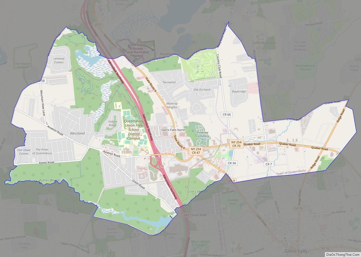
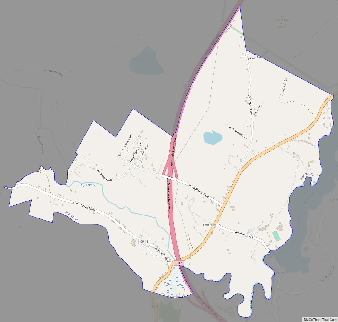
Pottersville Road Map
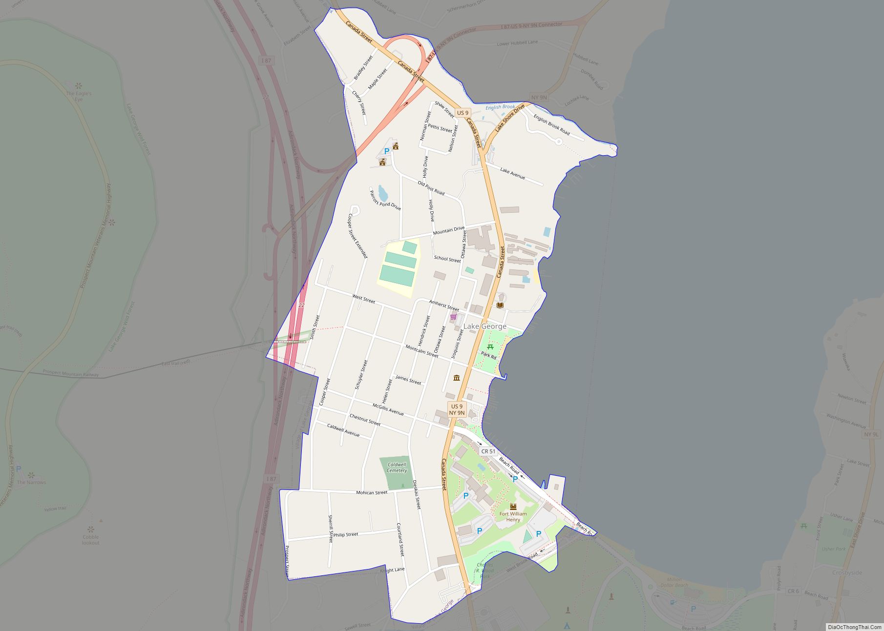
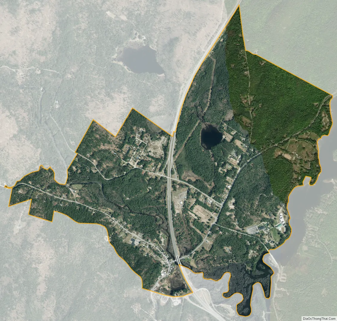
Pottersville city Satellite Map
See also
Map of New York State and its subdivision:- Albany
- Allegany
- Bronx
- Broome
- Cattaraugus
- Cayuga
- Chautauqua
- Chemung
- Chenango
- Clinton
- Columbia
- Cortland
- Delaware
- Dutchess
- Erie
- Essex
- Franklin
- Fulton
- Genesee
- Greene
- Hamilton
- Herkimer
- Jefferson
- Kings
- Lake Ontario
- Lewis
- Livingston
- Madison
- Monroe
- Montgomery
- Nassau
- New York
- Niagara
- Oneida
- Onondaga
- Ontario
- Orange
- Orleans
- Oswego
- Otsego
- Putnam
- Queens
- Rensselaer
- Richmond
- Rockland
- Saint Lawrence
- Saratoga
- Schenectady
- Schoharie
- Schuyler
- Seneca
- Steuben
- Suffolk
- Sullivan
- Tioga
- Tompkins
- Ulster
- Warren
- Washington
- Wayne
- Westchester
- Wyoming
- Yates
- Alabama
- Alaska
- Arizona
- Arkansas
- California
- Colorado
- Connecticut
- Delaware
- District of Columbia
- Florida
- Georgia
- Hawaii
- Idaho
- Illinois
- Indiana
- Iowa
- Kansas
- Kentucky
- Louisiana
- Maine
- Maryland
- Massachusetts
- Michigan
- Minnesota
- Mississippi
- Missouri
- Montana
- Nebraska
- Nevada
- New Hampshire
- New Jersey
- New Mexico
- New York
- North Carolina
- North Dakota
- Ohio
- Oklahoma
- Oregon
- Pennsylvania
- Rhode Island
- South Carolina
- South Dakota
- Tennessee
- Texas
- Utah
- Vermont
- Virginia
- Washington
- West Virginia
- Wisconsin
- Wyoming