Ransomville is a hamlet (and census-designated place) located in the Town of Porter in Niagara County, New York, United States. The population was 1,419 at the 2010 census. Portions of the hamlet are also in Town of Wilson and Town of Cambria. Ransomville is north of the City of Niagara Falls and is part of the Buffalo–Niagara Falls Metropolitan Statistical Area.
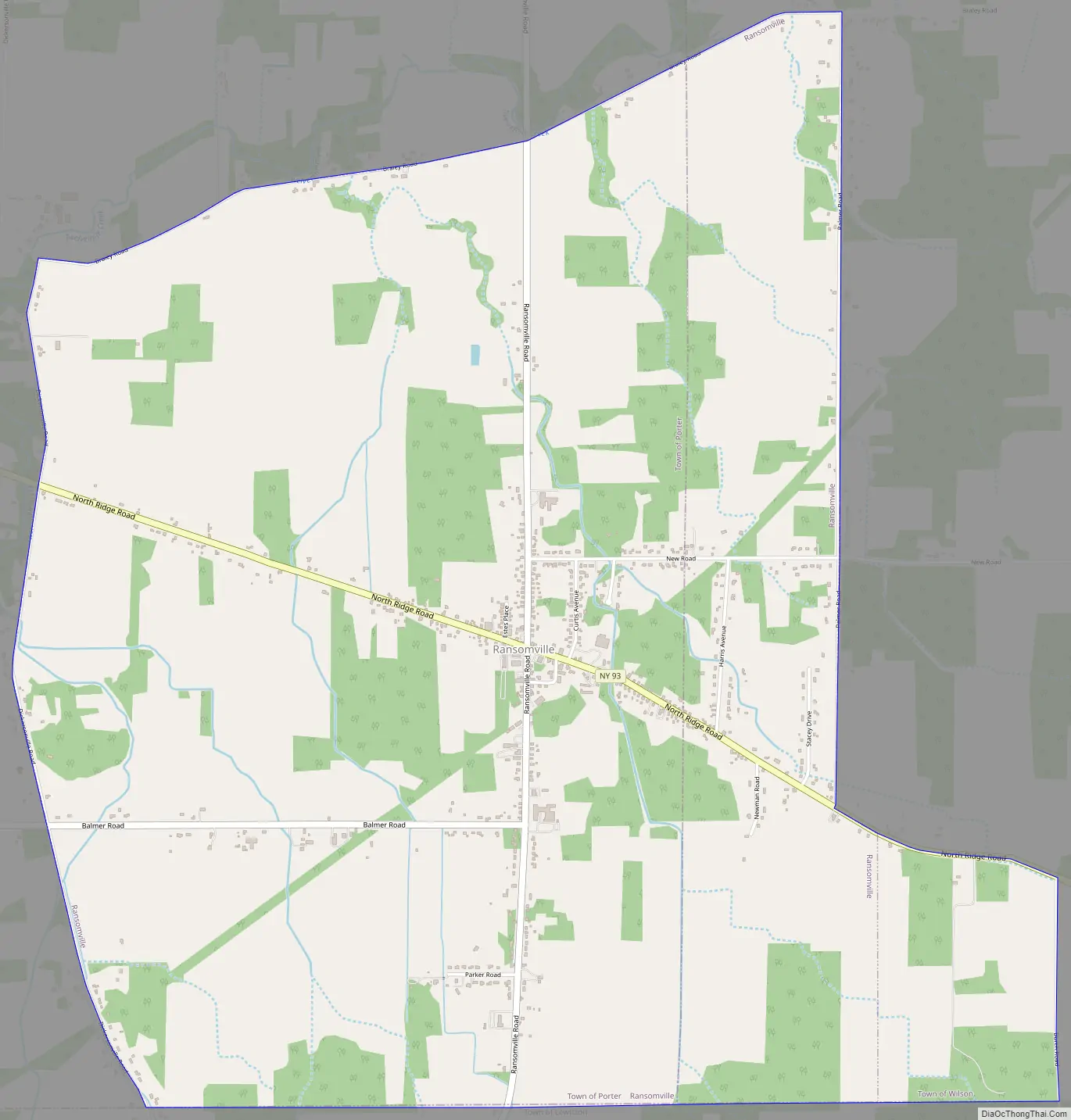
Ransomville is in the southeast corner of the town on the Youngstown-Lockport Road (New York State Route 93).
| Name: | Ransomville CDP |
|---|---|
| LSAD Code: | 57 |
| LSAD Description: | CDP (suffix) |
| State: | New York |
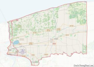
| County: | Niagara County |
| Elevation: | 325 ft (99 m) |
| Total Area: | 5.90 sq mi (15.29 km²) |
| Land Area: | 5.90 sq mi (15.29 km²) |
| Water Area: | 0.00 sq mi (0.00 km²) |
| Total Population: | 1,316 |
| Population Density: | 222.90/sq mi (86.06/km²) |
| ZIP code: | 14131 |
| Area code: | 716 |
| FIPS code: | 3660598 |
| GNISfeature ID: | 0962190 |
| Website: | https://www.townofporter.net |
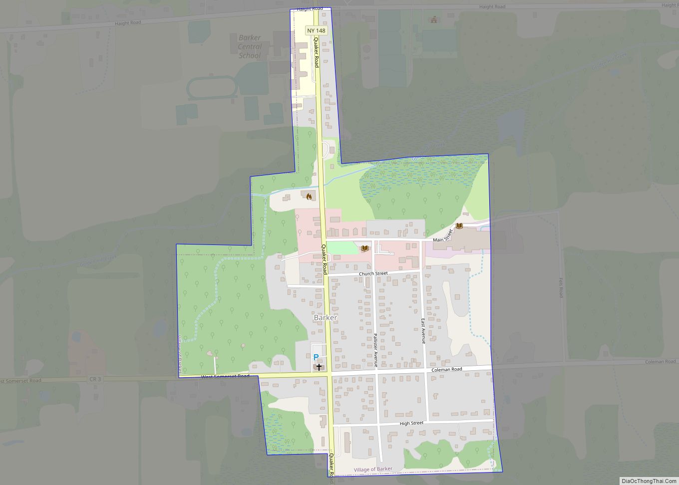
Online Interactive Map
Click on ![]() to view map in "full screen" mode.
to view map in "full screen" mode.
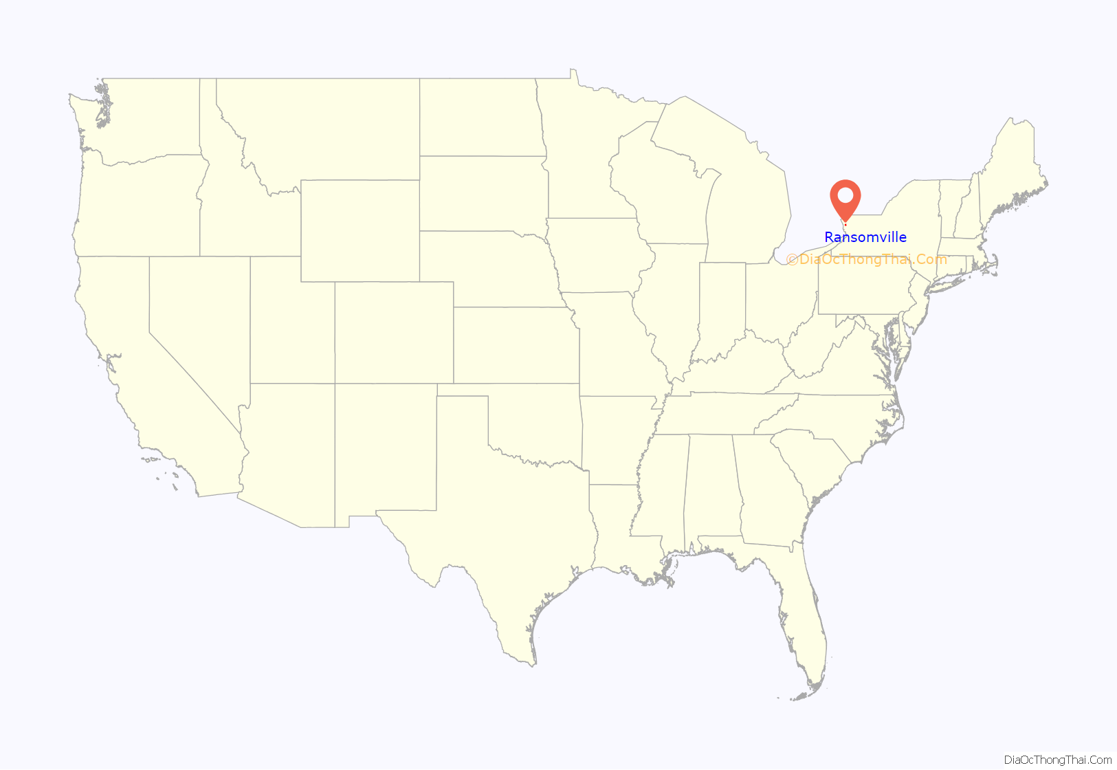
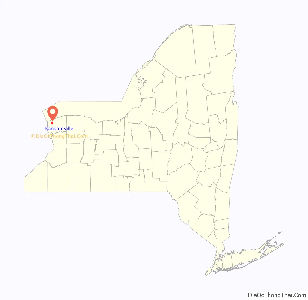
Ransomville location map. Where is Ransomville CDP?
History
Founding
The town of Ransomville was established in 1842 by the Ransom and Curtiss families and was named after William Henry Harrison Ransom. The Curtiss family, led by brothers Gideon and Capt. Gilbert Curtiss, were the first to settle in the area in the 1820s, establishing the early links with neighboring towns.
The son of immigrants from Sullivan County in the Hudson River Valley, W.H.H. Ransom arrived in Niagara County in 1839 and built a farm that he worked with his wife, Elisa Estes Ransom. In 1846, Ransom purchased a general store from his uncle, Jehiel Ransom, who had been in Niagara County since 1826 and served as postmaster. Ransom had 13 children and died at the age of 74 in Ransomville on December 29, 1889.
Development
Ransomville was established as a farming community, but some of the earliest businesses were the log taverns built by Gideon Curtiss, the first of which was erected in 1817 and the second in 1825. A cemetery was laid out by 1821. In 1840 the Ransomville House was built as a larger, more refined building. In addition to the hotel, an 1860 map of the village lists two doctors and two blacksmiths, as well as a bootmaker, carriage maker, harness maker, grocer, lumber mill and general merchandise store.
Early settlers from the Curtiss family cleared and laid down the roads from Ransomville to Youngstown to the West (NY 93), along the ridge to the South (NY 104) and Lake Ontario to the North (CR 17). In 1876, The Rome, Watertown and Ogdensburg Railroad took over the Lake Ontario Shore Railroad and extended track, connecting Ransomville with Lewiston to the West and Syracuse to the East. This was later incorporated into the New York Central Railroad. A year later, Gilbert Curtiss built the Excelsior Elevator across from the rail depot. The Curtisses’ agricultural business would grow to include a poultry farm that was considered the largest in the nation by the early 20th century.
In the 20th century, the town’s claim to poultry fame faded with the development of new techniques and the opening of larger facilities. In 1924, the Volunteer Fire Company was formed with 24 charter members and Dr. John C. Plain as its President. A first fire hall was built in 1925 and then replaced by the current facility in 1960. Original equipment included a motorized chemical pumper rig, which replaced the hand-drawn cart. In 1933, Harold Bass opened the Bass Ford Dealership, which was soon joined by Richard Coulter’s Chevrolet dealership. In 1954, Ed Ortiz and his brother opened the Ransomville Speedway for dirt track racing. The brothers moved the track outside of town to its current location in 1958.
Ransomville Road Map
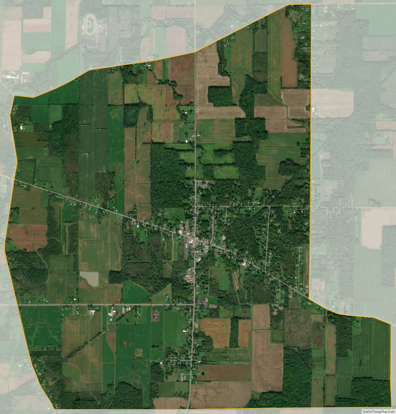
Ransomville city Satellite Map
Geography
Ransomville is located at 43°14′13″N 78°54′55″W / 43.23694°N 78.91528°W / 43.23694; -78.91528 (43.236955, -78.915327).
According to the United States Census Bureau, the CDP has a total area of 6.2 square miles (16 km), all land.
See also
Map of New York State and its subdivision:- Albany
- Allegany
- Bronx
- Broome
- Cattaraugus
- Cayuga
- Chautauqua
- Chemung
- Chenango
- Clinton
- Columbia
- Cortland
- Delaware
- Dutchess
- Erie
- Essex
- Franklin
- Fulton
- Genesee
- Greene
- Hamilton
- Herkimer
- Jefferson
- Kings
- Lake Ontario
- Lewis
- Livingston
- Madison
- Monroe
- Montgomery
- Nassau
- New York
- Niagara
- Oneida
- Onondaga
- Ontario
- Orange
- Orleans
- Oswego
- Otsego
- Putnam
- Queens
- Rensselaer
- Richmond
- Rockland
- Saint Lawrence
- Saratoga
- Schenectady
- Schoharie
- Schuyler
- Seneca
- Steuben
- Suffolk
- Sullivan
- Tioga
- Tompkins
- Ulster
- Warren
- Washington
- Wayne
- Westchester
- Wyoming
- Yates
- Alabama
- Alaska
- Arizona
- Arkansas
- California
- Colorado
- Connecticut
- Delaware
- District of Columbia
- Florida
- Georgia
- Hawaii
- Idaho
- Illinois
- Indiana
- Iowa
- Kansas
- Kentucky
- Louisiana
- Maine
- Maryland
- Massachusetts
- Michigan
- Minnesota
- Mississippi
- Missouri
- Montana
- Nebraska
- Nevada
- New Hampshire
- New Jersey
- New Mexico
- New York
- North Carolina
- North Dakota
- Ohio
- Oklahoma
- Oregon
- Pennsylvania
- Rhode Island
- South Carolina
- South Dakota
- Tennessee
- Texas
- Utah
- Vermont
- Virginia
- Washington
- West Virginia
- Wisconsin
- Wyoming