Romulus is a hamlet (and census-designated place) located in the Town of Romulus, Seneca County, New York, United States on the border with the Town of Varick. The population was 409 at the 2010 census.
The hamlet was originally called “Romulusville.” It was renamed Romulus, after the town, circa 1870.
| Name: | Romulus CDP |
|---|---|
| LSAD Code: | 57 |
| LSAD Description: | CDP (suffix) |
| State: | New York |
| County: | Seneca County |
| Elevation: | 718 ft (219 m) |
| Total Area: | 0.61 sq mi (1.58 km²) |
| Land Area: | 0.61 sq mi (1.58 km²) |
| Water Area: | 0.00 sq mi (0.00 km²) |
| Total Population: | 356 |
| Population Density: | 584.56/sq mi (225.85/km²) |
| ZIP code: | 14541 |
| Area code: | 607 |
| FIPS code: | 3663429 |
| GNISfeature ID: | 2628183 |
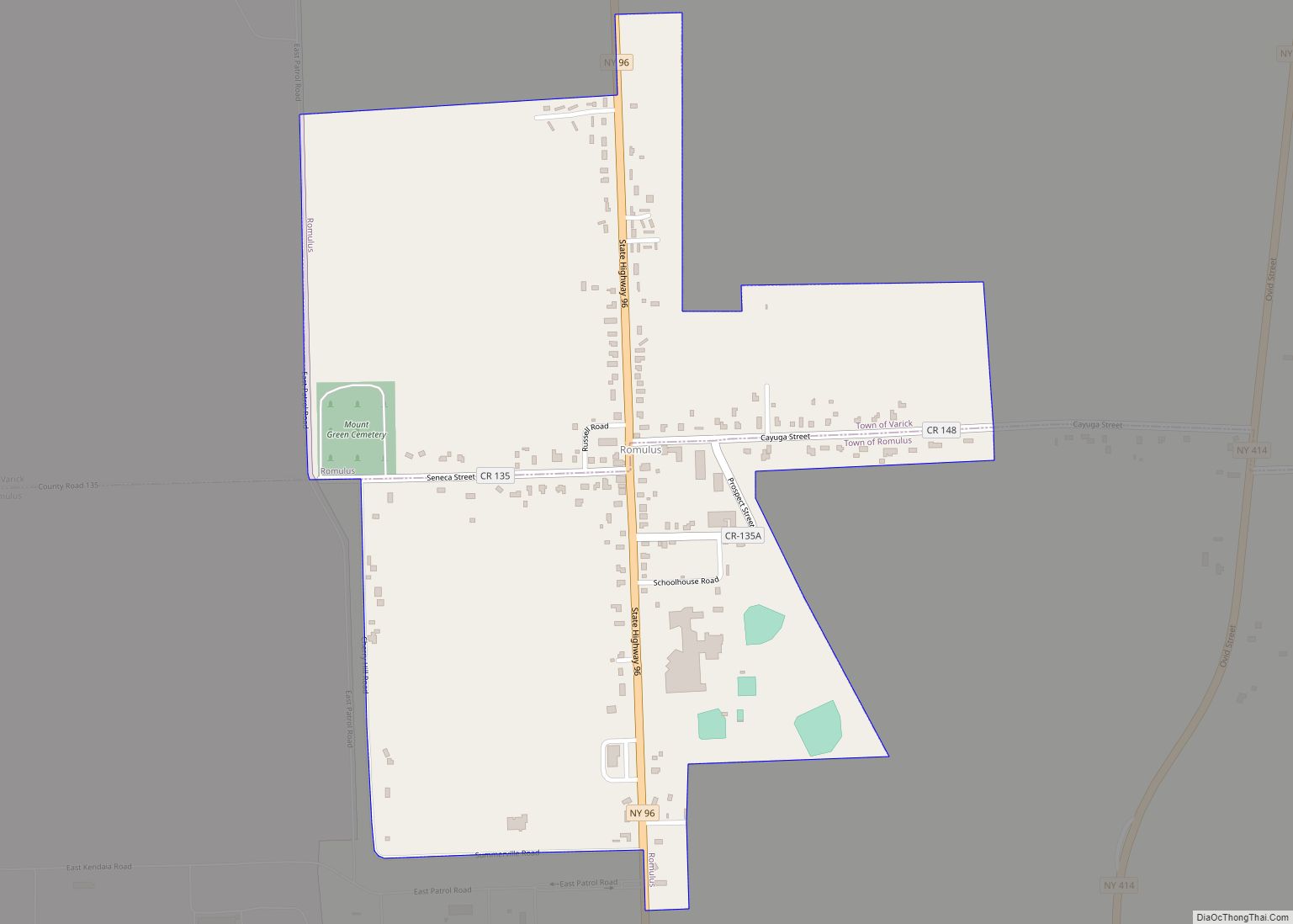
Online Interactive Map
Click on ![]() to view map in "full screen" mode.
to view map in "full screen" mode.
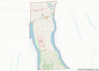
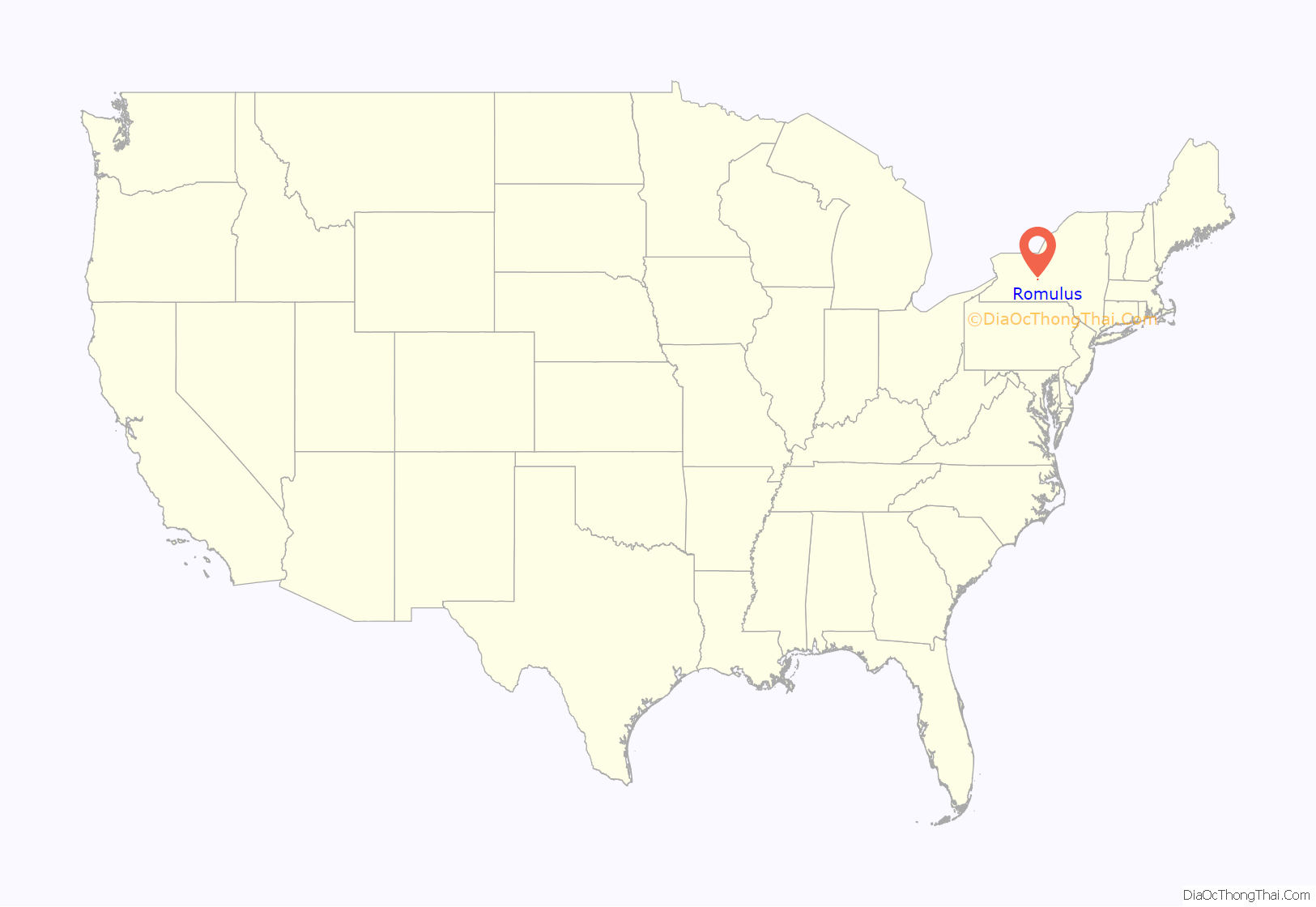
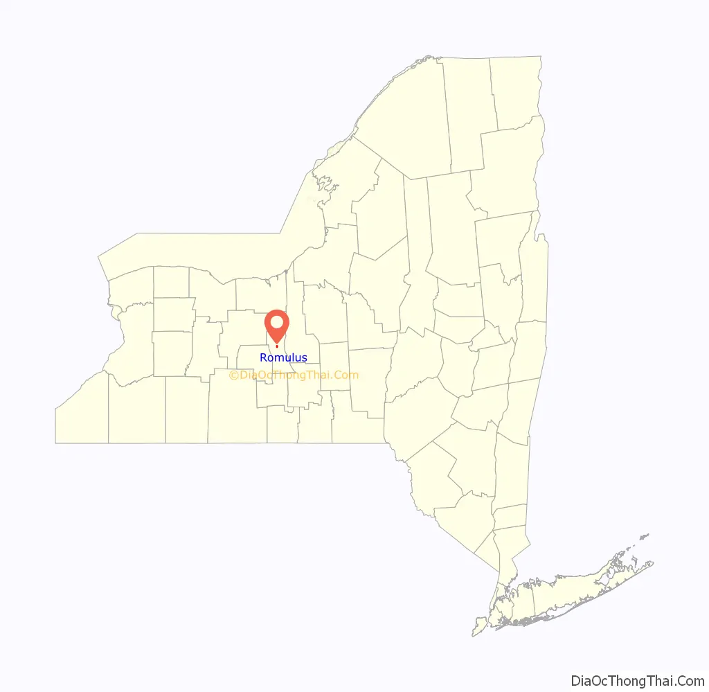
Romulus location map. Where is Romulus CDP?
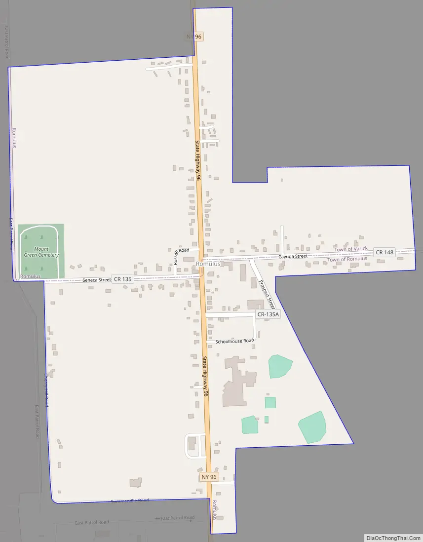
Romulus Road Map
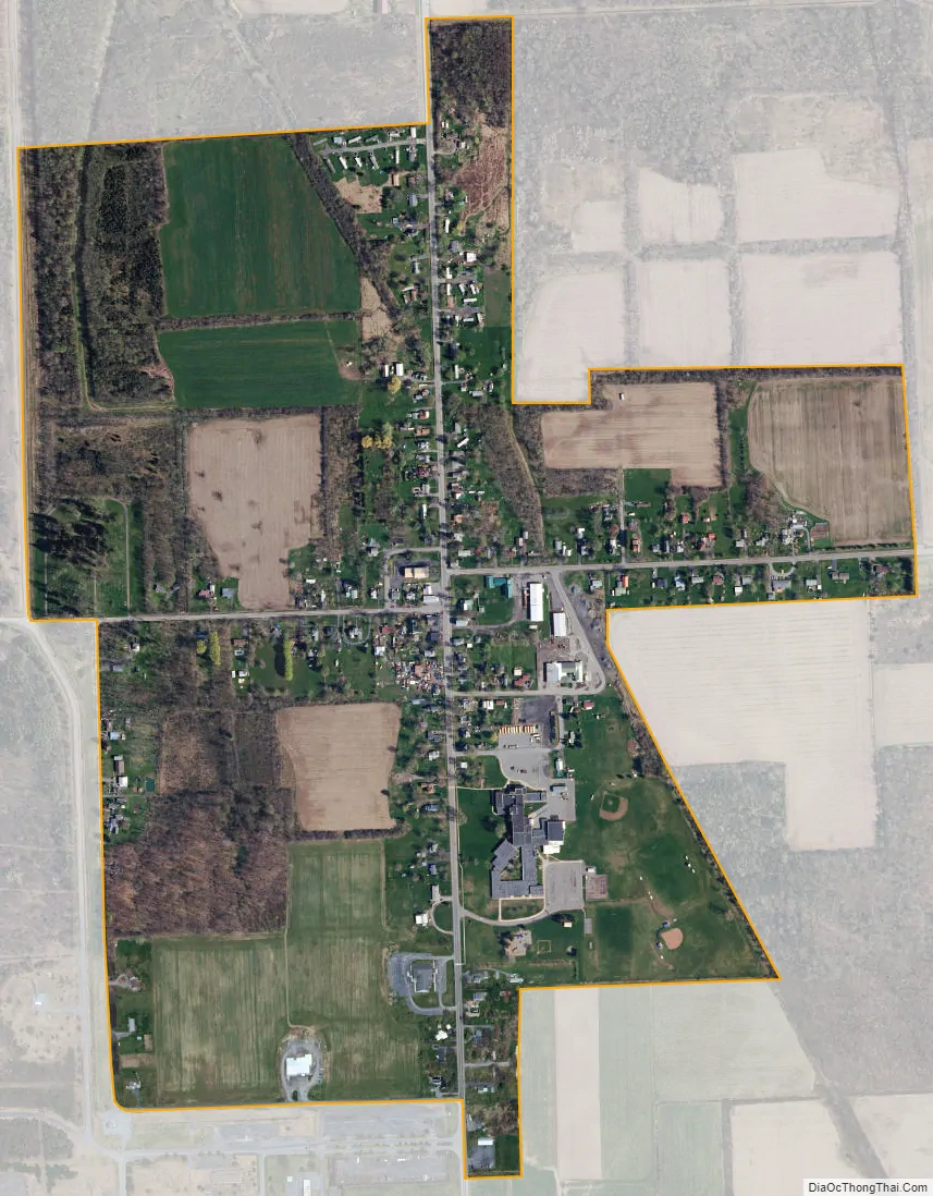
Romulus city Satellite Map
Geography
Romulus is located at 42°45′06″N 76°50′06″W / 42.751799°N 76.835069°W / 42.751799; -76.835069.
According to the United States Census Bureau, the CDP has a total area of 0.6 square miles (1.6 km), all of it land.
The primary intersection in the hamlet is at N.Y. Route 96, Cayuga Street (CR 148) and Seneca Street (CR 135). Romulus is adjacent to the former Seneca Army Depot.
See also
Map of New York State and its subdivision:- Albany
- Allegany
- Bronx
- Broome
- Cattaraugus
- Cayuga
- Chautauqua
- Chemung
- Chenango
- Clinton
- Columbia
- Cortland
- Delaware
- Dutchess
- Erie
- Essex
- Franklin
- Fulton
- Genesee
- Greene
- Hamilton
- Herkimer
- Jefferson
- Kings
- Lake Ontario
- Lewis
- Livingston
- Madison
- Monroe
- Montgomery
- Nassau
- New York
- Niagara
- Oneida
- Onondaga
- Ontario
- Orange
- Orleans
- Oswego
- Otsego
- Putnam
- Queens
- Rensselaer
- Richmond
- Rockland
- Saint Lawrence
- Saratoga
- Schenectady
- Schoharie
- Schuyler
- Seneca
- Steuben
- Suffolk
- Sullivan
- Tioga
- Tompkins
- Ulster
- Warren
- Washington
- Wayne
- Westchester
- Wyoming
- Yates
- Alabama
- Alaska
- Arizona
- Arkansas
- California
- Colorado
- Connecticut
- Delaware
- District of Columbia
- Florida
- Georgia
- Hawaii
- Idaho
- Illinois
- Indiana
- Iowa
- Kansas
- Kentucky
- Louisiana
- Maine
- Maryland
- Massachusetts
- Michigan
- Minnesota
- Mississippi
- Missouri
- Montana
- Nebraska
- Nevada
- New Hampshire
- New Jersey
- New Mexico
- New York
- North Carolina
- North Dakota
- Ohio
- Oklahoma
- Oregon
- Pennsylvania
- Rhode Island
- South Carolina
- South Dakota
- Tennessee
- Texas
- Utah
- Vermont
- Virginia
- Washington
- West Virginia
- Wisconsin
- Wyoming