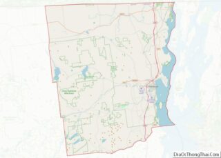
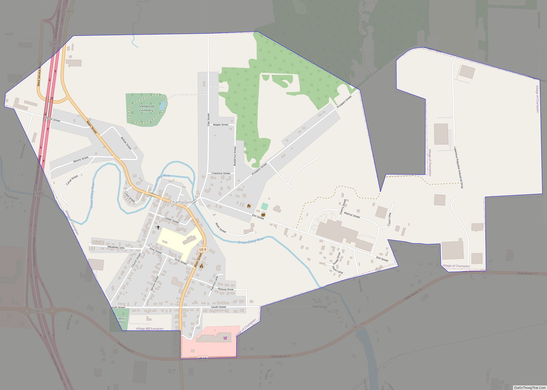
Rouses Point is a village in Clinton County, New York, United States, along the 45th parallel. The population was 2,209 at the 2010 census. The village is named after Jacques Rouse, a French Canadian soldier who fought alongside the Americans during their war for independence. The village is on the western shore of Lake Champlain at the source of the Richelieu River. Also located in the northeastern corner of the town of Champlain, it is north of the city of Plattsburgh and is on the Canada–United States border.
| Name: | Rouses Point village |
|---|---|
| LSAD Code: | 47 |
| LSAD Description: | village (suffix) |
| State: | New York |
| County: | Clinton County |
| Elevation: | 112 ft (34 m) |
| Total Area: | 2.47 sq mi (6.40 km²) |
| Land Area: | 1.75 sq mi (4.53 km²) |
| Water Area: | 0.72 sq mi (1.87 km²) |
| Total Population: | 2,195 |
| Population Density: | 1,254.29/sq mi (484.38/km²) |
| ZIP code: | 12979 |
| Area code: | 518 |
| FIPS code: | 3663979 |
| GNISfeature ID: | 0963048 |
| Website: | www.rousespointny.com |
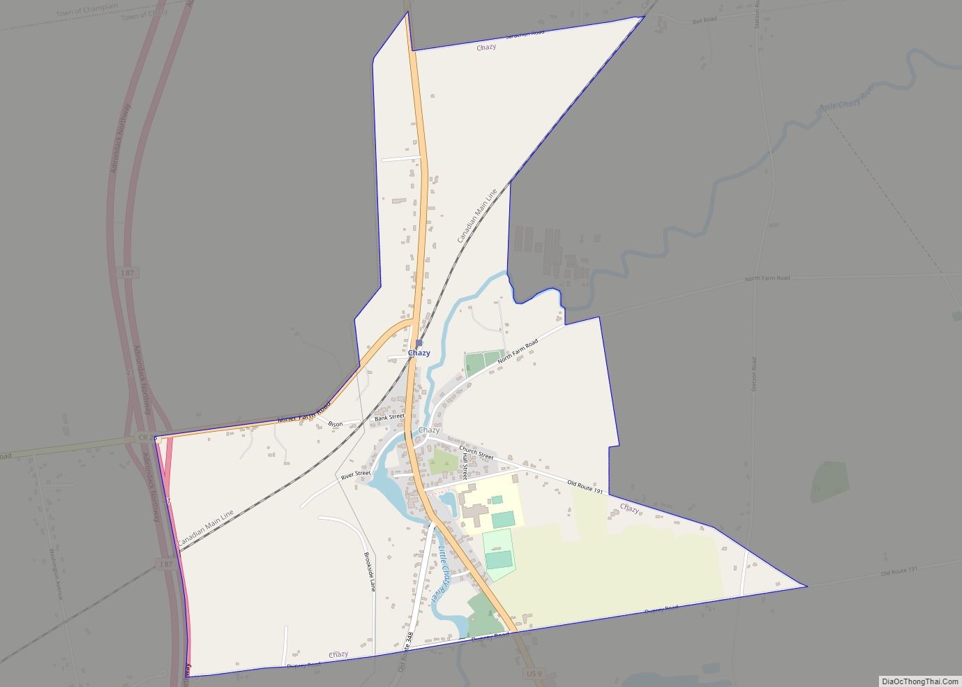
Online Interactive Map
Click on ![]() to view map in "full screen" mode.
to view map in "full screen" mode.
Rouses Point location map. Where is Rouses Point village?

History
Rouses Point was first settled around 1783 by Canadian and Nova Scotian refugees who were granted tracts of land in reward for their services during the American Revolution.
Steamboats were a booming business on this part of the lake; the second commercial steamboat in the world was launched on Lake Champlain, with Rouses Point as its first port-of-call. Steamboat traffic continued on the lake for the next 100 years until displaced by the railroad.
Edward Thurber built the first frame house in 1818. President James Monroe stayed there.
After an unnamed first fort (sometimes called “Fort Blunder”) was mistakenly built 1.2 km north of Island Point in Canada, Fort Montgomery was built here between 1844 and 1871 to guard Lake Champlain against possible invasion from British Canada. The fort was never completed and was briefly garrisoned by the U.S. Army during the American Civil War. In 1816 the First stone house built from “Fort Blunder” was a house of worship for Baptists, Methodists, and Presbyterians. It is still standing as a family home.
By 1860, Rouses Point had a variety of shops and tradespeople such as loggers, bakers, tailors, carpenters, blacksmiths, prostitutes, and hatters. Its location on the Canada–U.S. border made it an important stop on the Underground Railroad, through which many African American slaves escaped to freedom.
Rouses Point became an incorporated village in 1877, and grew to a population of over 2,000 by 1892. The Delaware and Hudson Railway opened a station, connecting the village to New York City and Montreal.
During Prohibition (1923–33), the village’s proximity to the Canada–U.S. border made it popular with those who wanted to smuggle illegal alcohol across the border. Rum-running became common, and three speakeasies, one called “The Bucket of Blood”, operated nightly. Organized crime visited the area, bringing with it the usual vices.
During World War II, the community was the scene of substantial shipments of war materials to points north by water and rail.
Today, the lake at Rouses Point has three marinas filled with pleasure craft.
Wyeth, a pharmaceutical company, formerly employed over 1,000 people.
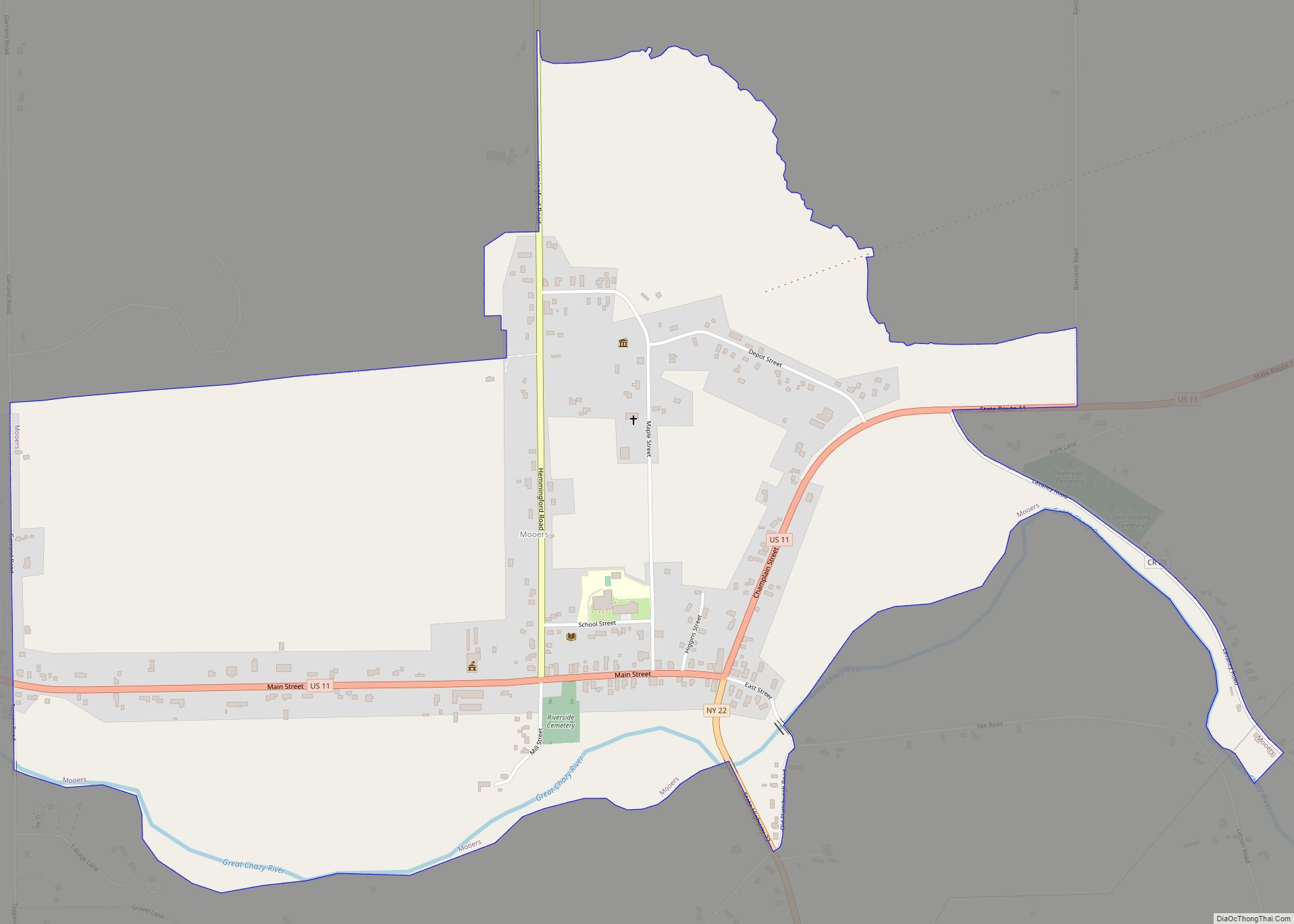
Rouses Point Road Map

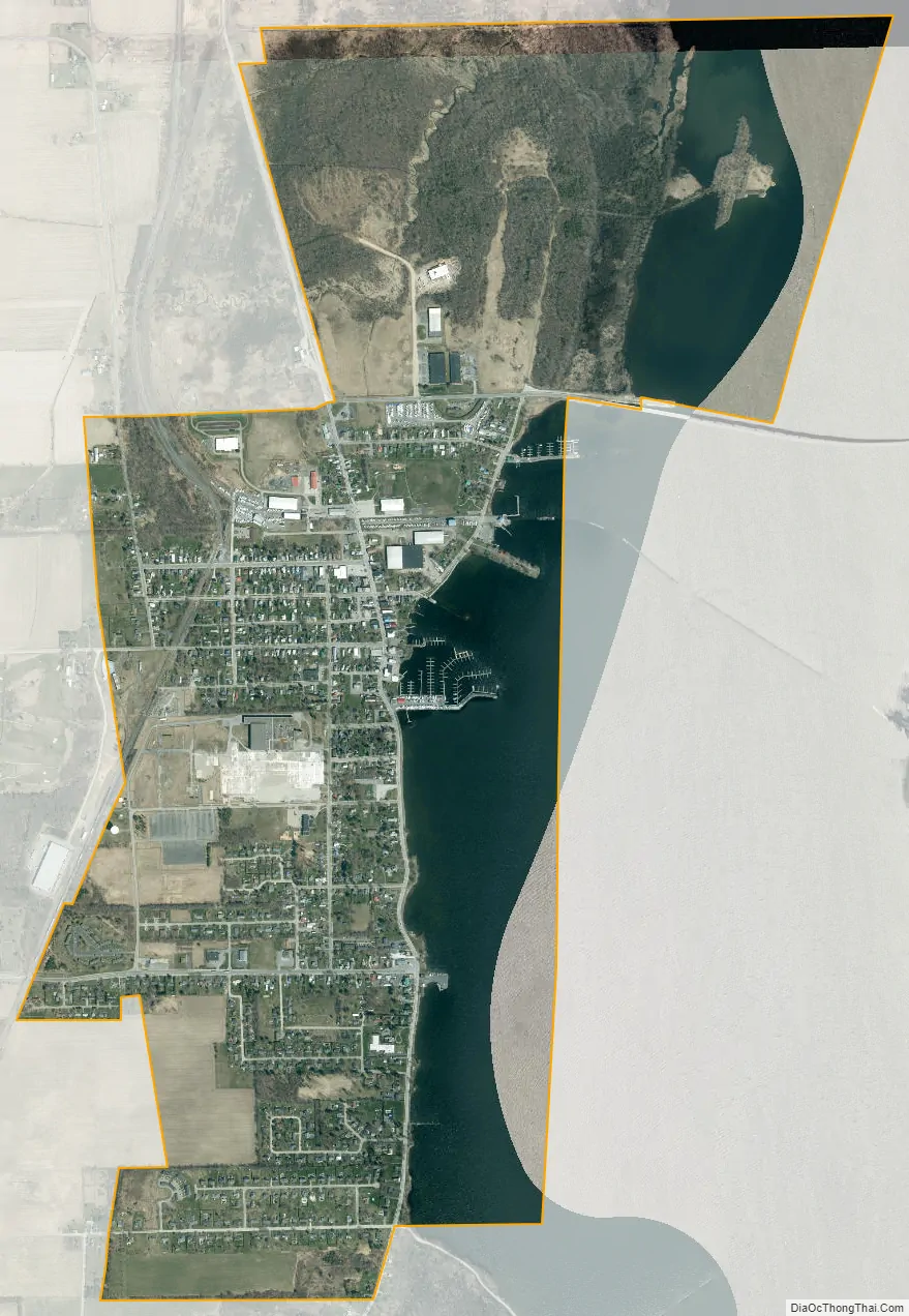
Rouses Point city Satellite Map
Geography
Rouses Point, located at 44°59′15″N 73°22′3″W / 44.98750°N 73.36750°W / 44.98750; -73.36750 (44.987531, -73.367634), is the northernmost village in New York in terms of the center of population.
According to the United States Census Bureau, the village has a total area of 2.5 square miles (6.4 km), of which 1.8 square miles (4.6 km) is land and 0.73 square miles (1.9 km), or 29.18%, is water.
Rouses Point is a port of entry from Canada and is close to the Canada–United States border with Quebec. The village is on the western shore of Lake Champlain.
The village is located by the U.S. Route 2 and U.S. Route 11 intersection. U.S. 2 leads east across the Rouses Point Bridge into Vermont. New York State Route 9B enters the village from the south, and New York State Route 276 enters the village from the northwest.
The intersection of U.S. 2 and U.S. 11 is the western terminus of the eastern segment of U.S. 2. Approximately 8/10ths of a mile to the north U.S. 11 ends at the Canada–U.S. border.
See also
Map of New York State and its subdivision:- Albany
- Allegany
- Bronx
- Broome
- Cattaraugus
- Cayuga
- Chautauqua
- Chemung
- Chenango
- Clinton
- Columbia
- Cortland
- Delaware
- Dutchess
- Erie
- Essex
- Franklin
- Fulton
- Genesee
- Greene
- Hamilton
- Herkimer
- Jefferson
- Kings
- Lake Ontario
- Lewis
- Livingston
- Madison
- Monroe
- Montgomery
- Nassau
- New York
- Niagara
- Oneida
- Onondaga
- Ontario
- Orange
- Orleans
- Oswego
- Otsego
- Putnam
- Queens
- Rensselaer
- Richmond
- Rockland
- Saint Lawrence
- Saratoga
- Schenectady
- Schoharie
- Schuyler
- Seneca
- Steuben
- Suffolk
- Sullivan
- Tioga
- Tompkins
- Ulster
- Warren
- Washington
- Wayne
- Westchester
- Wyoming
- Yates
- Alabama
- Alaska
- Arizona
- Arkansas
- California
- Colorado
- Connecticut
- Delaware
- District of Columbia
- Florida
- Georgia
- Hawaii
- Idaho
- Illinois
- Indiana
- Iowa
- Kansas
- Kentucky
- Louisiana
- Maine
- Maryland
- Massachusetts
- Michigan
- Minnesota
- Mississippi
- Missouri
- Montana
- Nebraska
- Nevada
- New Hampshire
- New Jersey
- New Mexico
- New York
- North Carolina
- North Dakota
- Ohio
- Oklahoma
- Oregon
- Pennsylvania
- Rhode Island
- South Carolina
- South Dakota
- Tennessee
- Texas
- Utah
- Vermont
- Virginia
- Washington
- West Virginia
- Wisconsin
- Wyoming