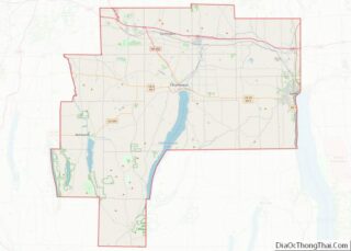
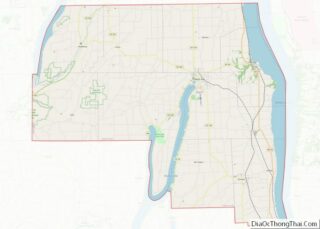
Rushville is a village in Ontario and Yates Counties in the U.S. state of New York. The population was 655 in the 2019 American Community Survey. Most of the Village of Rushville is within the Town of Potter in Yates County and a small part is in the Town of Gorham in Ontario County. It is one of two villages in Ontario County that is split between two townships and the only village in Ontario split between two counties.
| Name: | Rushville village |
|---|---|
| LSAD Code: | 47 |
| LSAD Description: | village (suffix) |
| State: | New York |
| County: | Ontario County, Yates County |
| Incorporated: | April 24, 1866 (1866-04-24) |
| Elevation: | 876 ft (267 m) |
| Total Area: | 0.68 sq mi (1.75 km²) |
| Land Area: | 0.68 sq mi (1.75 km²) |
| Water Area: | 0.00 sq mi (0.00 km²) |
| Total Population: | 651 |
| Population Density: | 961.60/sq mi (371.54/km²) |
| ZIP code: | 14544 |
| Area code: | 585 |
| FIPS code: | 3664199 |
| GNISfeature ID: | 0963107 |
| Website: | www.villageofrushville.com |
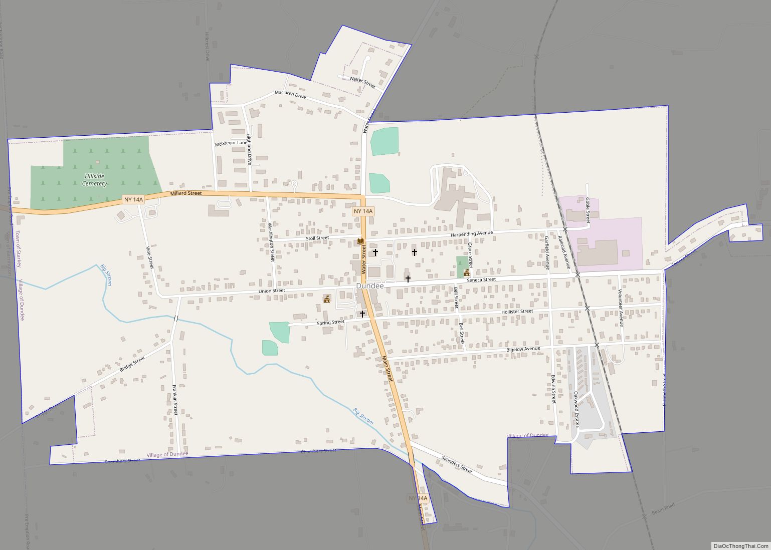
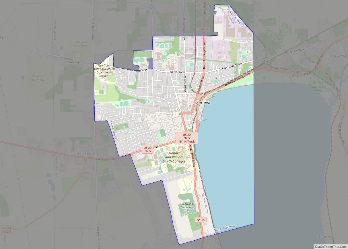
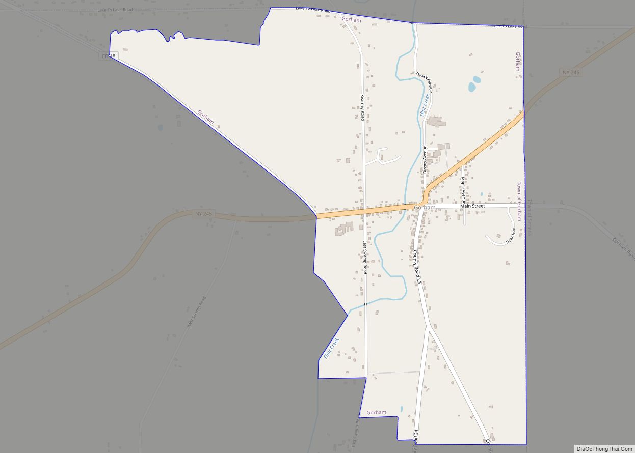
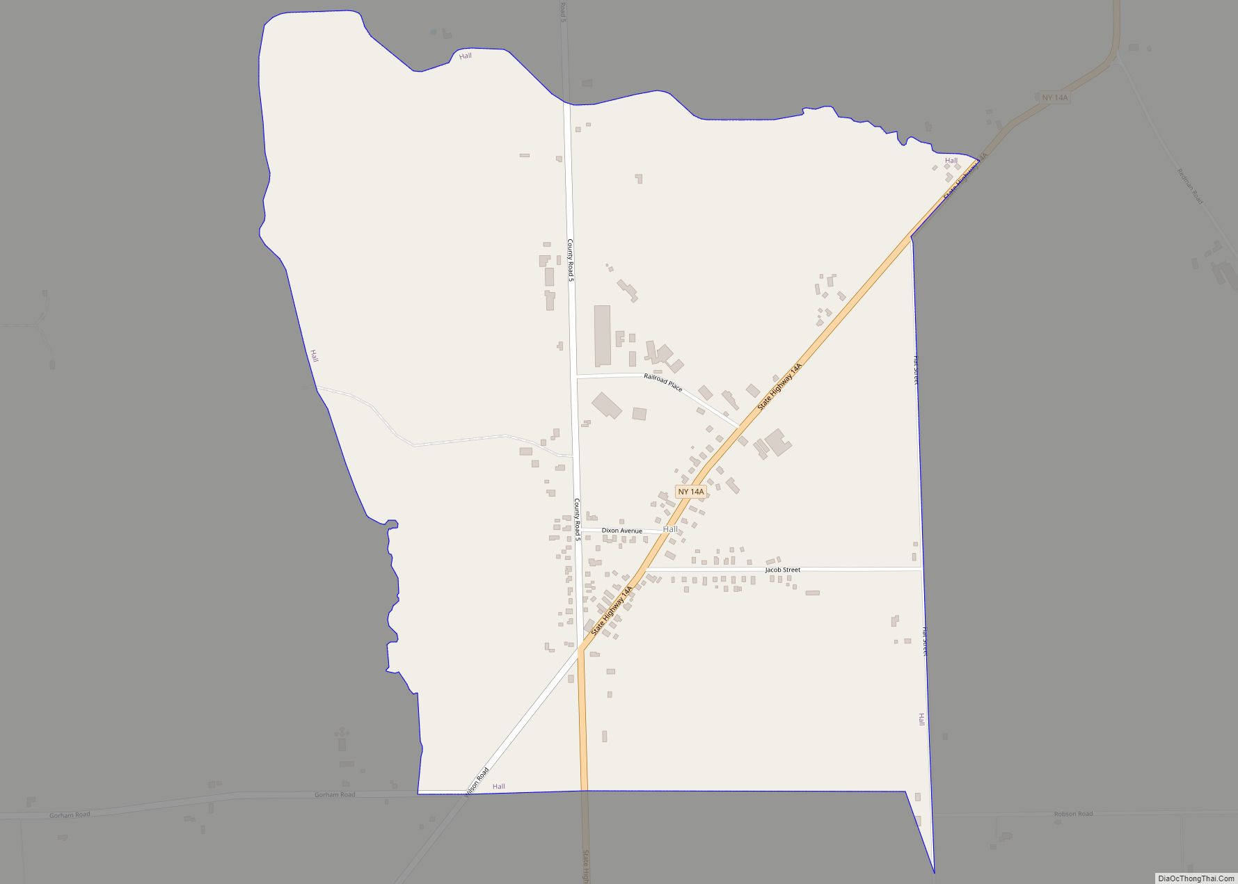
Online Interactive Map
Click on ![]() to view map in "full screen" mode.
to view map in "full screen" mode.
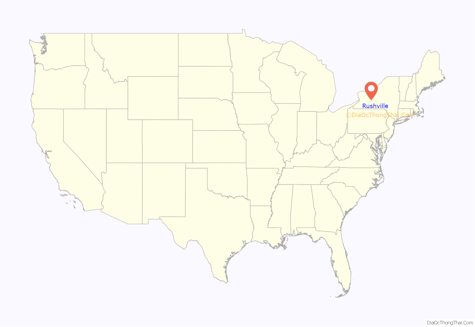
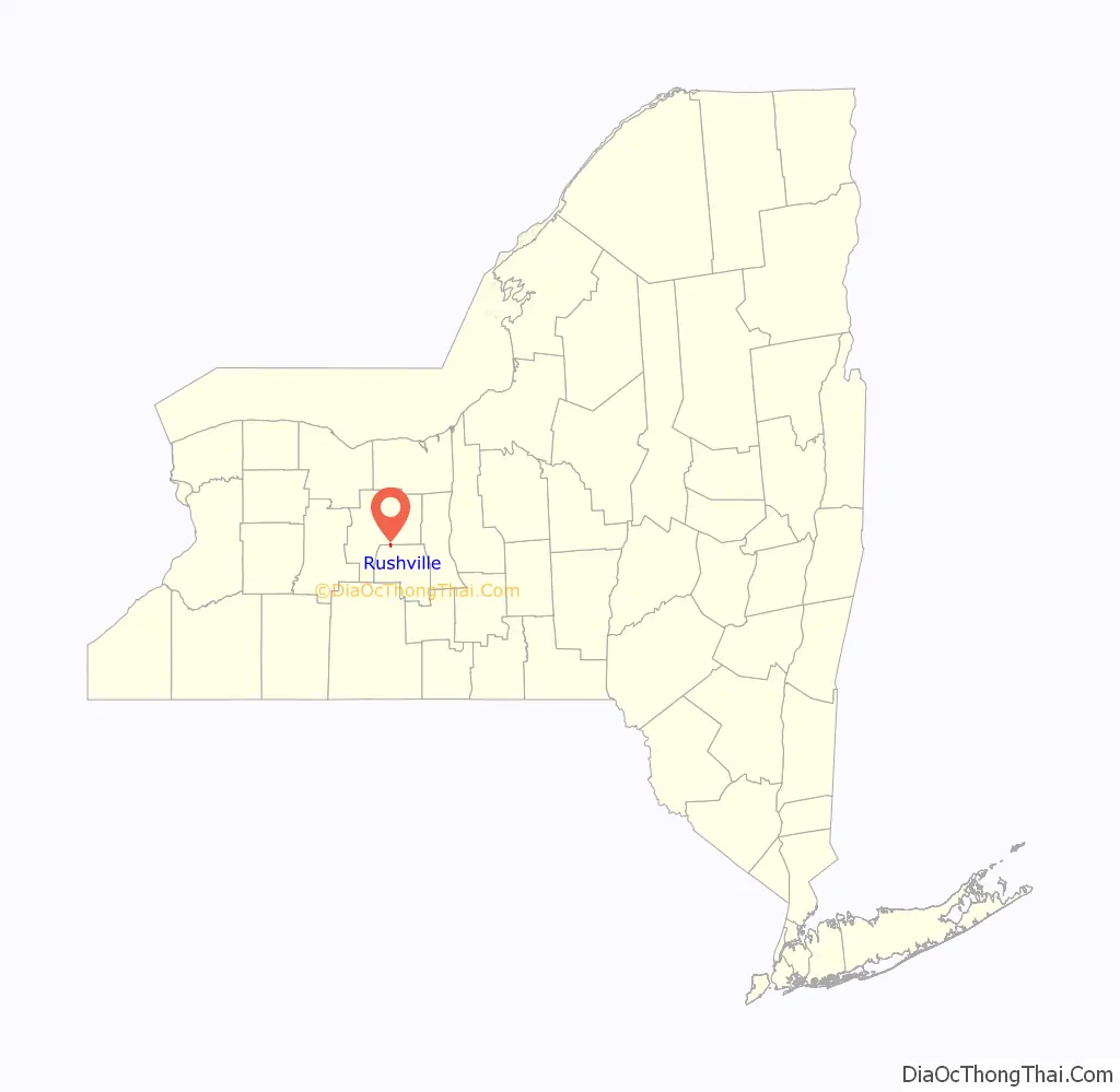
Rushville location map. Where is Rushville village?
History
Rushville was originally called Federal Hollow. The town was called this because many its initial settlers favored the Federalist political party, and it is located in one Canandaigua Lake’s many hollows, or valleys. Elias Gilbert was the first settler in Rushville, also opening one of the first saw mills on the West River in 1800.
Federal Hollow became Rushvile in 1819, when it got a Post Station. Town leadership chose the name in honor of Dr. Benjamin Rush, a hero of the American Revolution, at the suggestion of local doctor Ira Bryant. The first postmaster was Chester Loomis.
The Milton Wilson House was listed on the National Register of Historic Places in 1994.
In 2017, the village voted no to dissolution, 179 “no” to 96 “yes.”
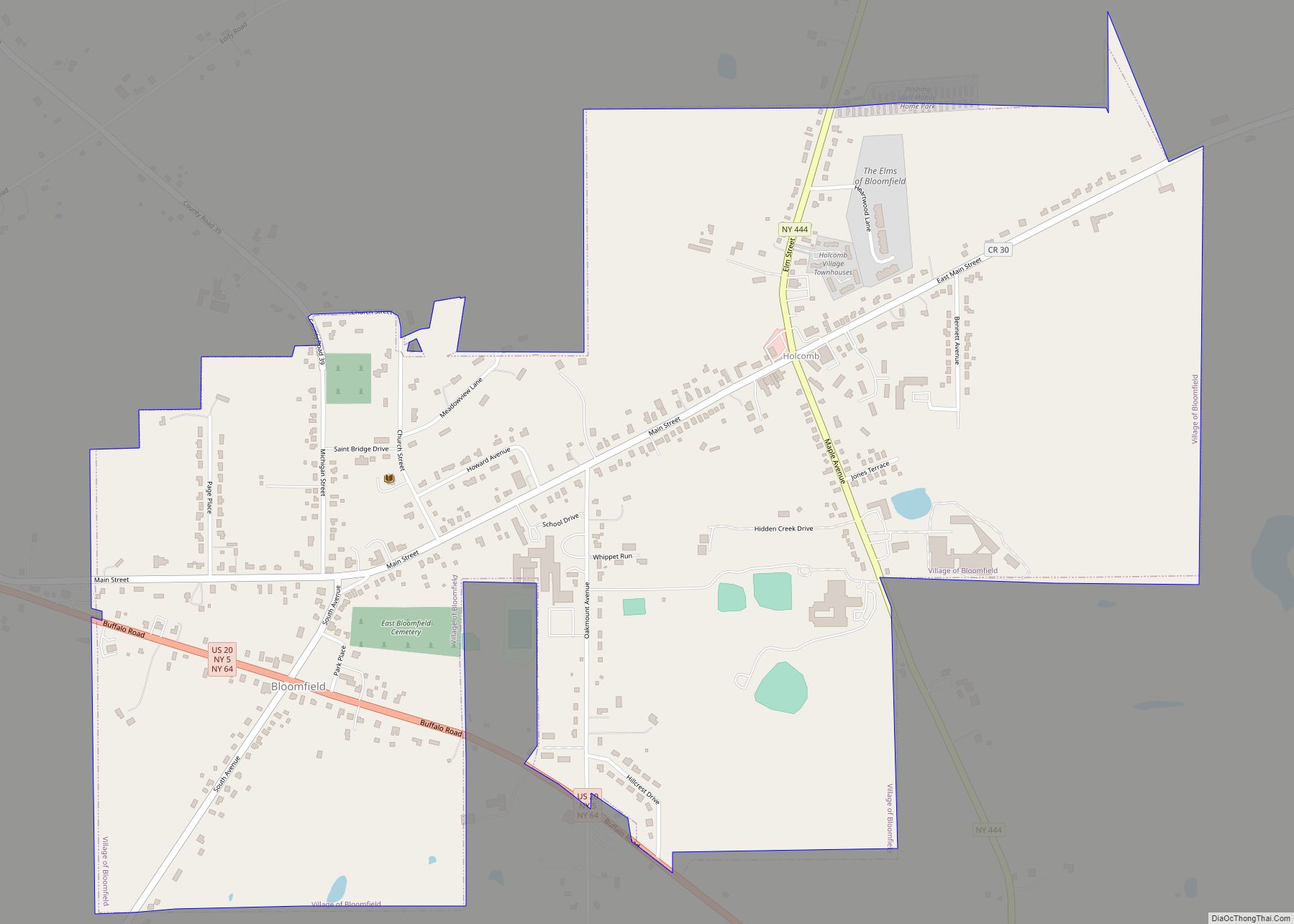
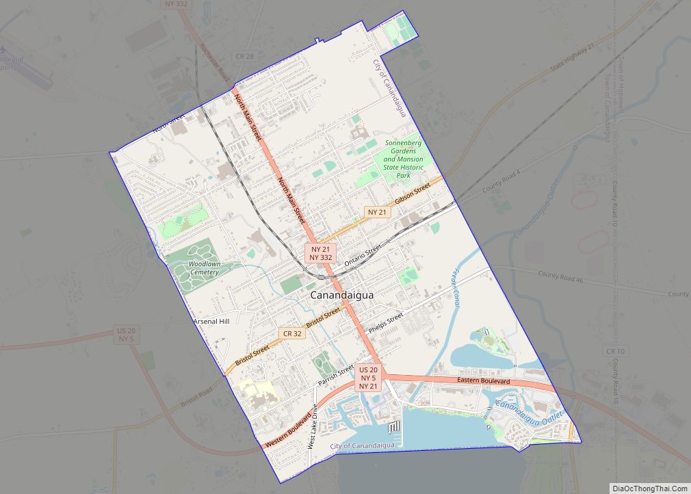
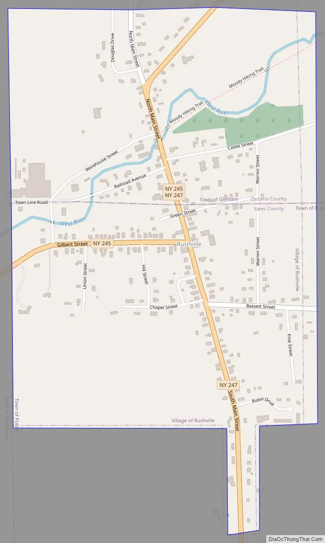
Rushville Road Map
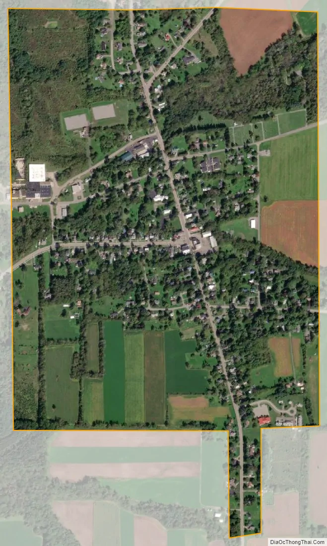
Rushville city Satellite Map
Geography
Rushville is located at 42°45′40″N 77°13′34″W / 42.76111°N 77.22611°W / 42.76111; -77.22611 (42.761136, -77.226177).
According to the United States Census Bureau, the village has a total area of 0.6 square miles (1.7 km), all land.
Rushville is in the Finger Lakes District of New York and lies between Canandaigua Lake and Seneca Lake. The West River flows southwest through the village.
Marcus Whitman Middle/High School is located just outside Rushville.
New York State Route 245 and New York State Route 247, pass, partly conjoined, through the Village of Rushville.
See also
Map of New York State and its subdivision:- Albany
- Allegany
- Bronx
- Broome
- Cattaraugus
- Cayuga
- Chautauqua
- Chemung
- Chenango
- Clinton
- Columbia
- Cortland
- Delaware
- Dutchess
- Erie
- Essex
- Franklin
- Fulton
- Genesee
- Greene
- Hamilton
- Herkimer
- Jefferson
- Kings
- Lake Ontario
- Lewis
- Livingston
- Madison
- Monroe
- Montgomery
- Nassau
- New York
- Niagara
- Oneida
- Onondaga
- Ontario
- Orange
- Orleans
- Oswego
- Otsego
- Putnam
- Queens
- Rensselaer
- Richmond
- Rockland
- Saint Lawrence
- Saratoga
- Schenectady
- Schoharie
- Schuyler
- Seneca
- Steuben
- Suffolk
- Sullivan
- Tioga
- Tompkins
- Ulster
- Warren
- Washington
- Wayne
- Westchester
- Wyoming
- Yates
- Alabama
- Alaska
- Arizona
- Arkansas
- California
- Colorado
- Connecticut
- Delaware
- District of Columbia
- Florida
- Georgia
- Hawaii
- Idaho
- Illinois
- Indiana
- Iowa
- Kansas
- Kentucky
- Louisiana
- Maine
- Maryland
- Massachusetts
- Michigan
- Minnesota
- Mississippi
- Missouri
- Montana
- Nebraska
- Nevada
- New Hampshire
- New Jersey
- New Mexico
- New York
- North Carolina
- North Dakota
- Ohio
- Oklahoma
- Oregon
- Pennsylvania
- Rhode Island
- South Carolina
- South Dakota
- Tennessee
- Texas
- Utah
- Vermont
- Virginia
- Washington
- West Virginia
- Wisconsin
- Wyoming