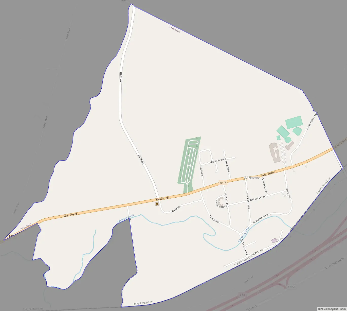
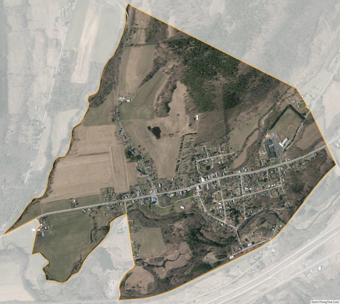
Schenevus is a hamlet (and census-designated place) in the town of Maryland in southeastern Otsego County, New York, United States. According to the 2010 census, the population was 551. The Schenevus Central School district covers the towns of Maryland, Westford, Milford, Decatur and Roseboom. The Schenevus Carousel and Twentieth Century Steam Riding Gallery No. 409 are listed on the National Register of Historic Places.
New York State Route 7 runs through the center of Schenevus, and Interstate 88 passes just to the south, serving the CDP via exit 18.
Schenevus was an incorporated village from 1870 to 1994.
| Name: | Schenevus CDP |
|---|---|
| LSAD Code: | 57 |
| LSAD Description: | CDP (suffix) |
| State: | New York |
| County: | Otsego County |
| Incorporated: | June 6, 1870 |
| Elevation: | 1,266 ft (386 m) |
| Total Area: | 1.0 sq mi (2.7 km²) |
| Land Area: | 1.0 sq mi (2.7 km²) |
| Water Area: | 0.0 sq mi (0.0 km²) |
| Total Population: | 551 |
| Population Density: | 530/sq mi (200/km²) |
| ZIP code: | 12155 |
| FIPS code: | 3665519 |
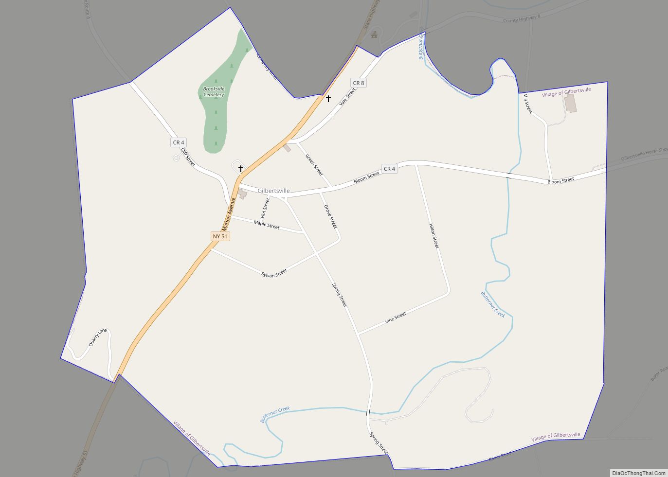
Online Interactive Map
Click on ![]() to view map in "full screen" mode.
to view map in "full screen" mode.
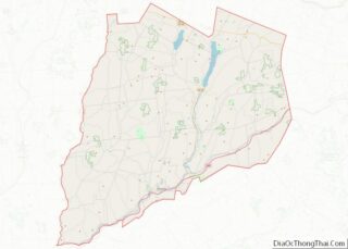
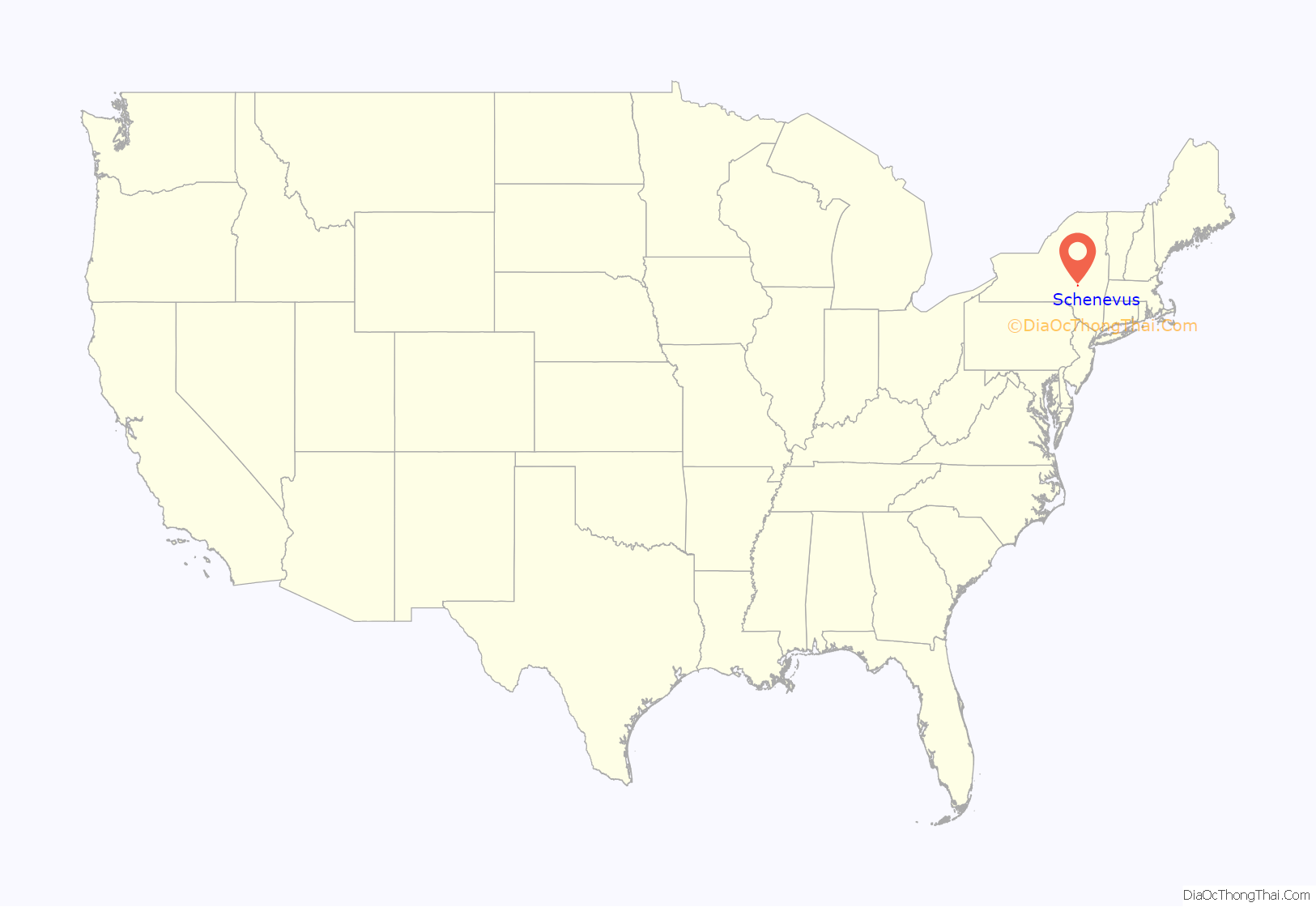
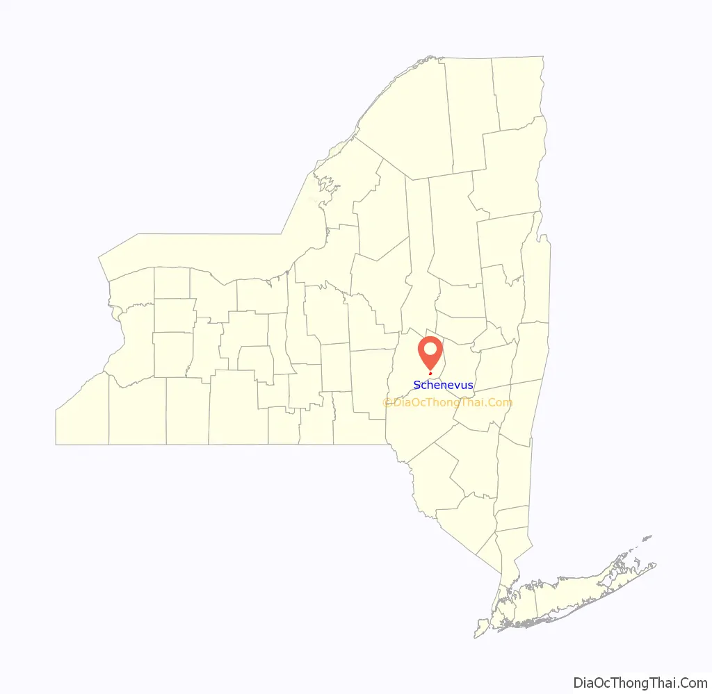
Schenevus location map. Where is Schenevus CDP?
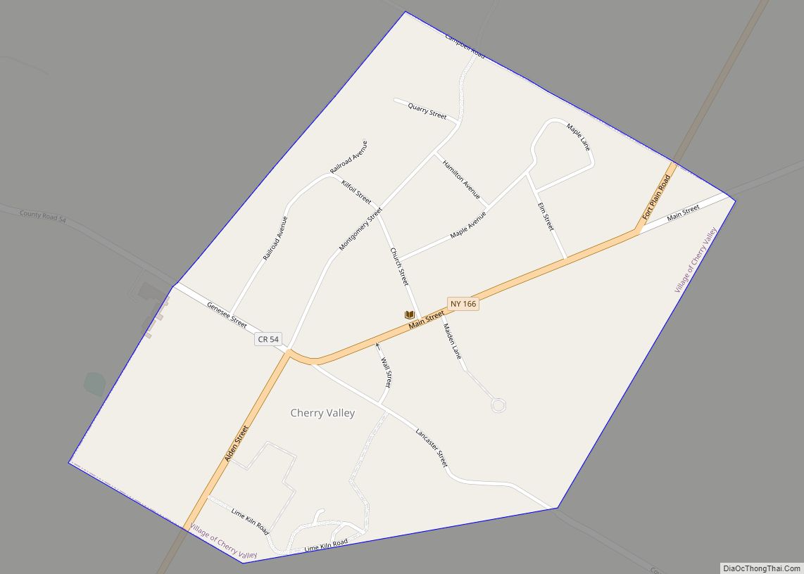
Schenevus Road Map
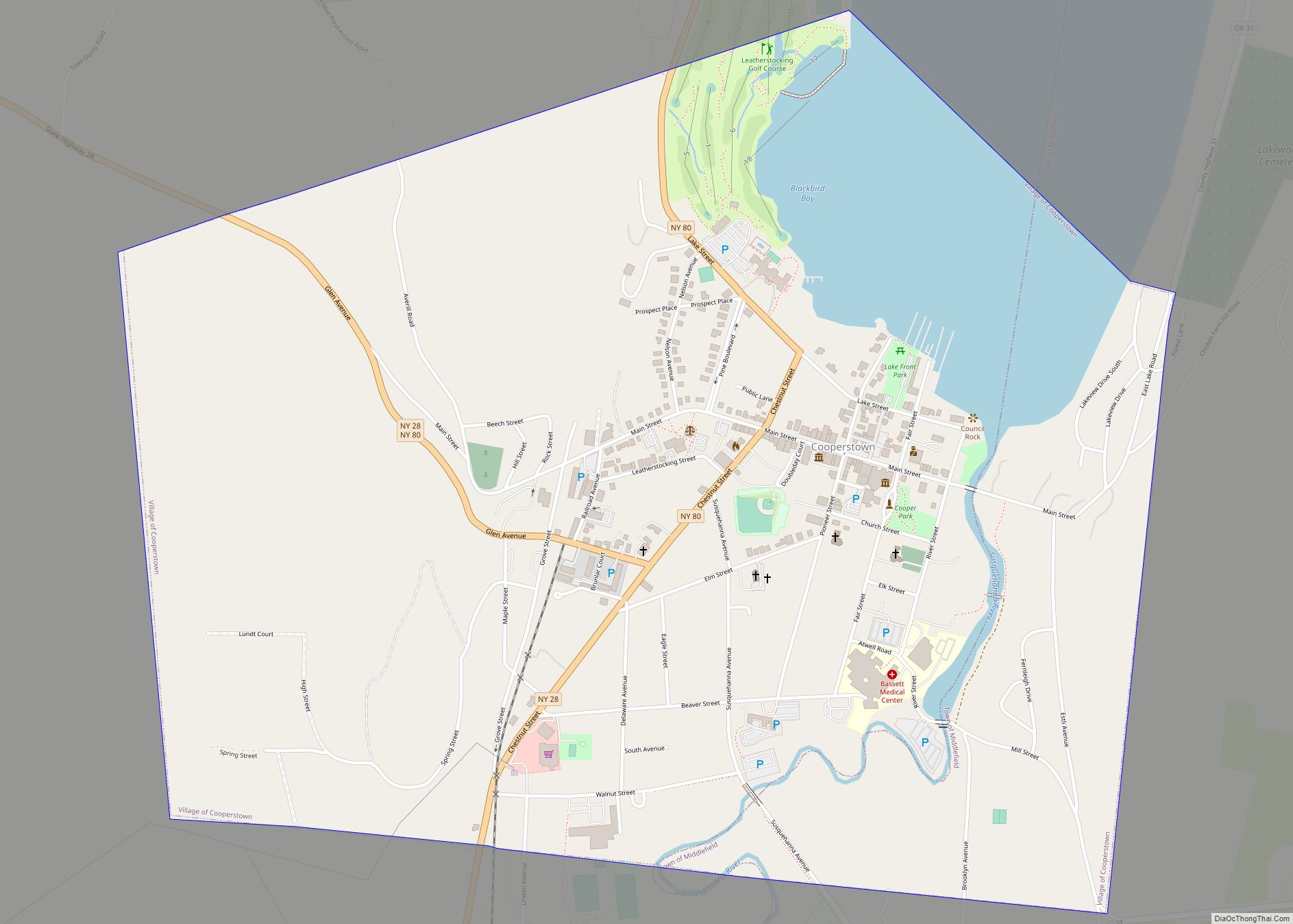
Schenevus city Satellite Map
See also
Map of New York State and its subdivision:- Albany
- Allegany
- Bronx
- Broome
- Cattaraugus
- Cayuga
- Chautauqua
- Chemung
- Chenango
- Clinton
- Columbia
- Cortland
- Delaware
- Dutchess
- Erie
- Essex
- Franklin
- Fulton
- Genesee
- Greene
- Hamilton
- Herkimer
- Jefferson
- Kings
- Lake Ontario
- Lewis
- Livingston
- Madison
- Monroe
- Montgomery
- Nassau
- New York
- Niagara
- Oneida
- Onondaga
- Ontario
- Orange
- Orleans
- Oswego
- Otsego
- Putnam
- Queens
- Rensselaer
- Richmond
- Rockland
- Saint Lawrence
- Saratoga
- Schenectady
- Schoharie
- Schuyler
- Seneca
- Steuben
- Suffolk
- Sullivan
- Tioga
- Tompkins
- Ulster
- Warren
- Washington
- Wayne
- Westchester
- Wyoming
- Yates
- Alabama
- Alaska
- Arizona
- Arkansas
- California
- Colorado
- Connecticut
- Delaware
- District of Columbia
- Florida
- Georgia
- Hawaii
- Idaho
- Illinois
- Indiana
- Iowa
- Kansas
- Kentucky
- Louisiana
- Maine
- Maryland
- Massachusetts
- Michigan
- Minnesota
- Mississippi
- Missouri
- Montana
- Nebraska
- Nevada
- New Hampshire
- New Jersey
- New Mexico
- New York
- North Carolina
- North Dakota
- Ohio
- Oklahoma
- Oregon
- Pennsylvania
- Rhode Island
- South Carolina
- South Dakota
- Tennessee
- Texas
- Utah
- Vermont
- Virginia
- Washington
- West Virginia
- Wisconsin
- Wyoming