Scotchtown is a hamlet (and census-designated place) in the Town of Wallkill, in Orange County, New York, United States. The population was 10,578 at the 2020 census. It has the ZIP Code 10941. The hamlet is located east of the City of Middletown. It is part of the Poughkeepsie–Newburgh–Middletown, NY Metropolitan Statistical Area as well as the larger New York–Newark–Bridgeport, NY-NJ–CT–PA Combined Statistical Area.
The Mills Industrial Park at 874 Silver Lake Scotchtown Road (41°28′39″N 74°21′49″W / 41.477525°N 74.36358°W / 41.477525; -74.36358 (Mills Industrial Park)) was the original planned location for the 1969 Woodstock Festival; however, after the Town of Walkill’s board voted against holding the festival, it was moved to Bethel, where it was held less than a month later.
| Name: | Scotchtown CDP |
|---|---|
| LSAD Code: | 57 |
| LSAD Description: | CDP (suffix) |
| State: | New York |
| County: | Orange County |
| Elevation: | 722 ft (220 m) |
| Total Area: | 4.85 sq mi (12.56 km²) |
| Land Area: | 4.84 sq mi (12.53 km²) |
| Water Area: | 0.01 sq mi (0.03 km²) |
| Total Population: | 10,578 |
| Population Density: | 2,186.89/sq mi (844.31/km²) |
| ZIP code: | 10941 |
| Area code: | 845 |
| FIPS code: | 3665882 |
| GNISfeature ID: | 0964670 |
Online Interactive Map
Click on ![]() to view map in "full screen" mode.
to view map in "full screen" mode.
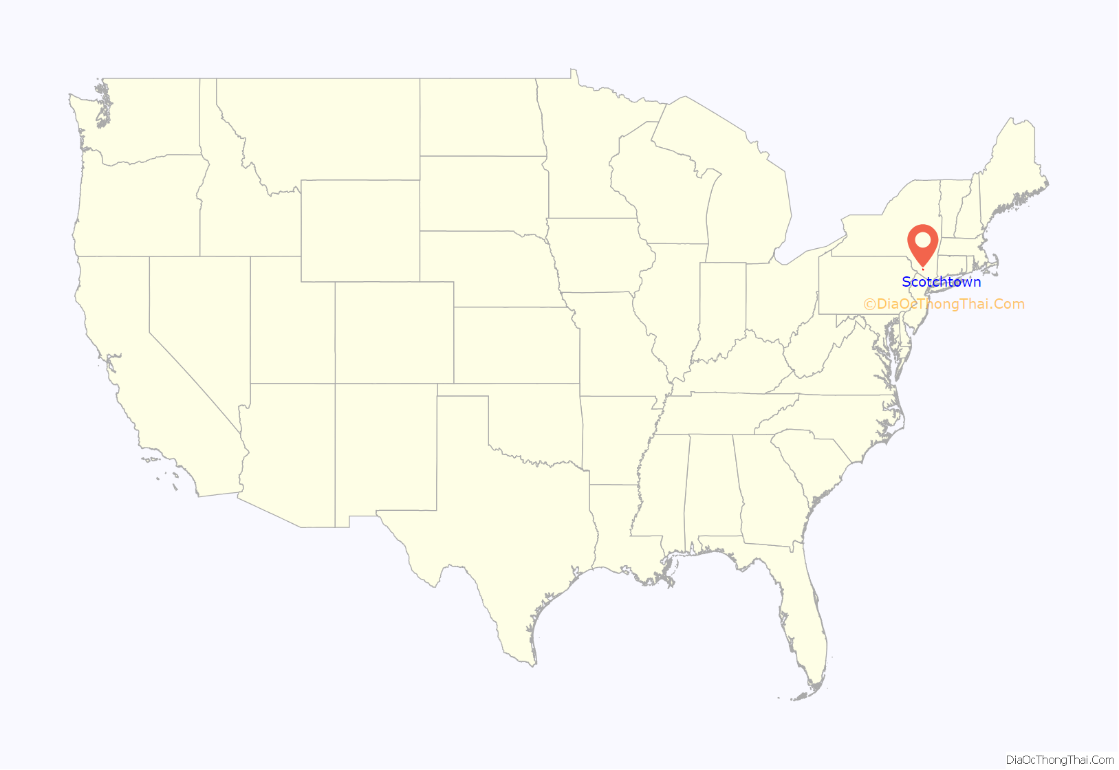
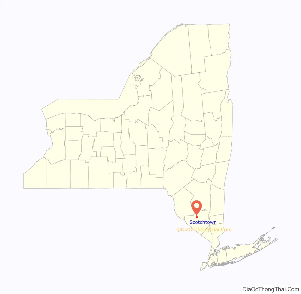
Scotchtown location map. Where is Scotchtown CDP?
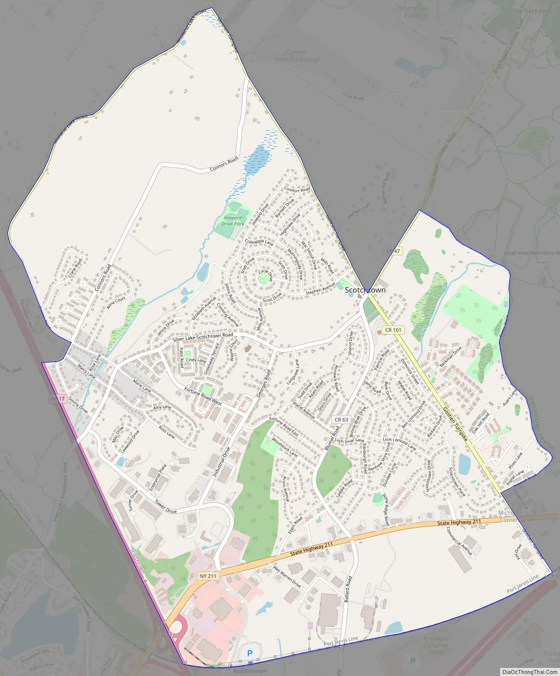
Scotchtown Road Map
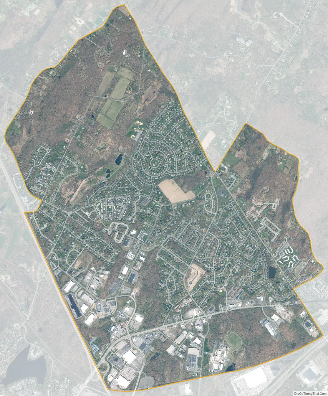
Scotchtown city Satellite Map
Geography
Scotchtown is located at 41°28′N 74°22′W / 41.467°N 74.367°W / 41.467; -74.367 (41.4732, -74.3663).
According to the United States Census Bureau, the CDP has a total area of 4.2 square miles (11 km), all land.
See also
Map of New York State and its subdivision:- Albany
- Allegany
- Bronx
- Broome
- Cattaraugus
- Cayuga
- Chautauqua
- Chemung
- Chenango
- Clinton
- Columbia
- Cortland
- Delaware
- Dutchess
- Erie
- Essex
- Franklin
- Fulton
- Genesee
- Greene
- Hamilton
- Herkimer
- Jefferson
- Kings
- Lake Ontario
- Lewis
- Livingston
- Madison
- Monroe
- Montgomery
- Nassau
- New York
- Niagara
- Oneida
- Onondaga
- Ontario
- Orange
- Orleans
- Oswego
- Otsego
- Putnam
- Queens
- Rensselaer
- Richmond
- Rockland
- Saint Lawrence
- Saratoga
- Schenectady
- Schoharie
- Schuyler
- Seneca
- Steuben
- Suffolk
- Sullivan
- Tioga
- Tompkins
- Ulster
- Warren
- Washington
- Wayne
- Westchester
- Wyoming
- Yates
- Alabama
- Alaska
- Arizona
- Arkansas
- California
- Colorado
- Connecticut
- Delaware
- District of Columbia
- Florida
- Georgia
- Hawaii
- Idaho
- Illinois
- Indiana
- Iowa
- Kansas
- Kentucky
- Louisiana
- Maine
- Maryland
- Massachusetts
- Michigan
- Minnesota
- Mississippi
- Missouri
- Montana
- Nebraska
- Nevada
- New Hampshire
- New Jersey
- New Mexico
- New York
- North Carolina
- North Dakota
- Ohio
- Oklahoma
- Oregon
- Pennsylvania
- Rhode Island
- South Carolina
- South Dakota
- Tennessee
- Texas
- Utah
- Vermont
- Virginia
- Washington
- West Virginia
- Wisconsin
- Wyoming


