Solvay is a village located in the town of Geddes, Onondaga County, New York, United States, and a suburb of the city of Syracuse. As of the 2020 census, the population was 6,645. The village is named after the Solvay brothers, Belgian inventors of the chemical process employed by the Solvay Process Company, formerly the major industry of the village.
| Name: | Solvay village |
|---|---|
| LSAD Code: | 47 |
| LSAD Description: | village (suffix) |
| State: | New York |
| County: | Onondaga County |
| Founded: | 1794 |
| Elevation: | 499 ft (152 m) |
| Total Area: | 1.62 sq mi (4.19 km²) |
| Land Area: | 1.62 sq mi (4.19 km²) |
| Water Area: | 0.00 sq mi (0.00 km²) |
| Total Population: | 6,645 |
| Population Density: | 4,112.00/sq mi (1,587.49/km²) |
| ZIP code: | 13209 |
| Area code: | 315 |
| FIPS code: | 3668286 |
| GNISfeature ID: | 0965631 |
| Website: | villageofsolvay.com |
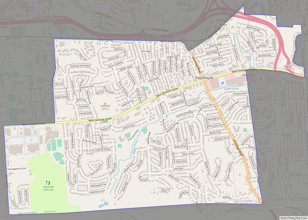
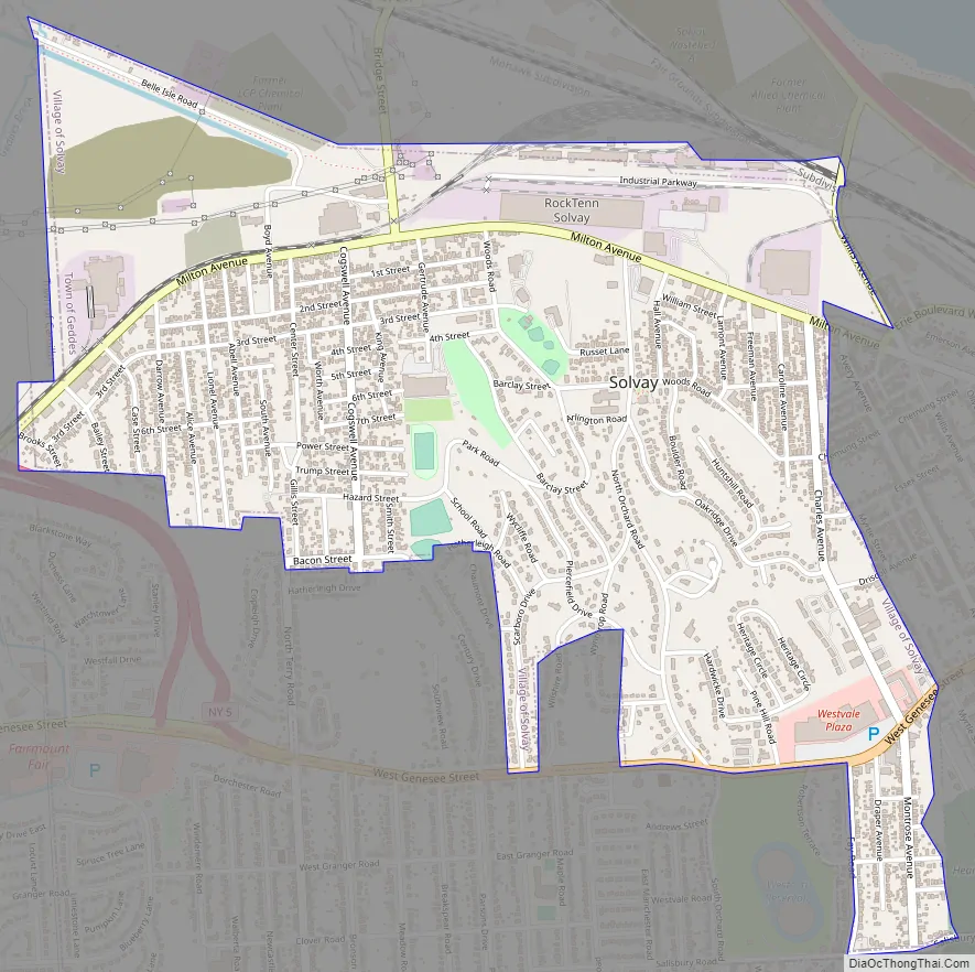
Online Interactive Map
Click on ![]() to view map in "full screen" mode.
to view map in "full screen" mode.
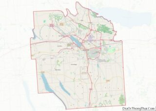
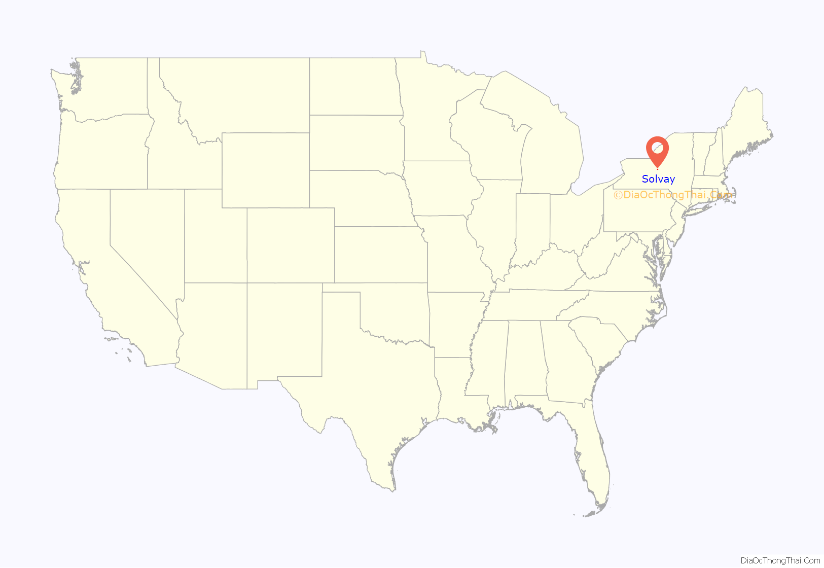
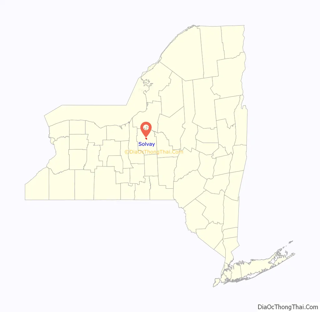
Solvay location map. Where is Solvay village?
History
The area was within the former Central New York Military Tract, but Solvay was in a location reserved for members of the Onondaga tribe.
The village was initially founded in 1794 by James Geddes and was initially called “Geddesburgh.” The first residents were mostly Irish, subsequently joined by Tyroleans and Poles. Eventually the community became known for its population largely Italian in extraction. It still retains a large segment (about 35% in 2005) of population of Italian descent. More recently many families of Ukrainian descent have settled in the village.
The village was renamed “Solvay” after 1884, when the Solvay Process Company built a Solvay process plant to produce soda ash. The Village of Solvay was incorporated in 1895. Other major businesses of Solvay include the Frazer & Jones Company (Division of the Eastern Company), a foundry; Crucible Steel, producer of specialty steels; Iroquois China Company (Solvay China); Pass & Seymour, producing electrical wiring devices.
The Solvay Process plant, by then owned by Allied Chemical and Dye Corporation, closed in 1985. The community has remained stable despite this loss.
Reflecting paternalistic programs of the Solvay Process Company and the Hazard family, the first village and school library was in Guild Hall. Then Solvay received a Carnegie library in 1902. James A. Randall of Syracuse was the architect (1902-5). The building was constructed with Hazard support.
Since the Hazards’ time, the village has provided superior services, as envisioned by the family. Solvay has its own municipal electric company which provides service to the village at one of the least expensive rates in the nation. A typical three bedroom home in the village which is completely electric (meaning no natural gas service) sees an average bill of around $225 per month in the winter and $160 in the summer (2009).
The Solvay Public Library was listed on the National Register of Historic Places in 2007.
Solvay Road Map
Solvay city Satellite Map

Geography
Solvay is located at 43°3′26″N 76°12′53″W / 43.05722°N 76.21472°W / 43.05722; -76.21472 (43.057316, -76.214649), immediately west of Syracuse and south of the New York State Fairgrounds (far westside). Its eastern boundary is shared with Syracuse. The village is south of the east end of Onondaga Lake and is also south of Interstate 690. The Erie Canal passes through the village.
According to the United States Census Bureau, the village has a total area of 1.6 square miles (4.1 km), all land.
See also
Map of New York State and its subdivision:- Albany
- Allegany
- Bronx
- Broome
- Cattaraugus
- Cayuga
- Chautauqua
- Chemung
- Chenango
- Clinton
- Columbia
- Cortland
- Delaware
- Dutchess
- Erie
- Essex
- Franklin
- Fulton
- Genesee
- Greene
- Hamilton
- Herkimer
- Jefferson
- Kings
- Lake Ontario
- Lewis
- Livingston
- Madison
- Monroe
- Montgomery
- Nassau
- New York
- Niagara
- Oneida
- Onondaga
- Ontario
- Orange
- Orleans
- Oswego
- Otsego
- Putnam
- Queens
- Rensselaer
- Richmond
- Rockland
- Saint Lawrence
- Saratoga
- Schenectady
- Schoharie
- Schuyler
- Seneca
- Steuben
- Suffolk
- Sullivan
- Tioga
- Tompkins
- Ulster
- Warren
- Washington
- Wayne
- Westchester
- Wyoming
- Yates
- Alabama
- Alaska
- Arizona
- Arkansas
- California
- Colorado
- Connecticut
- Delaware
- District of Columbia
- Florida
- Georgia
- Hawaii
- Idaho
- Illinois
- Indiana
- Iowa
- Kansas
- Kentucky
- Louisiana
- Maine
- Maryland
- Massachusetts
- Michigan
- Minnesota
- Mississippi
- Missouri
- Montana
- Nebraska
- Nevada
- New Hampshire
- New Jersey
- New Mexico
- New York
- North Carolina
- North Dakota
- Ohio
- Oklahoma
- Oregon
- Pennsylvania
- Rhode Island
- South Carolina
- South Dakota
- Tennessee
- Texas
- Utah
- Vermont
- Virginia
- Washington
- West Virginia
- Wisconsin
- Wyoming