Sparkill, formerly known as Tappan Sloat, is a suburban hamlet and census-designated place in the Town of Orangetown, Rockland County, New York, United States located north of Palisades; east of Tappan; south of Piermont and west of the Hudson River. As of the 2010 census, the CDP had a population of 1,565. The hamlet is home to St. Thomas Aquinas College and the Dominican Sisters of Sparkill.
| Name: | Sparkill CDP |
|---|---|
| LSAD Code: | 57 |
| LSAD Description: | CDP (suffix) |
| State: | New York |
| County: | Rockland County |
| Total Area: | 0.53 sq mi (1.37 km²) |
| Land Area: | 0.53 sq mi (1.37 km²) |
| Water Area: | 0.00 sq mi (0.00 km²) |
| Total Population: | 1,581 |
| Population Density: | 2,983.02/sq mi (1,152.47/km²) |
| ZIP code: | 10976 |
| Area code: | 845 |
| FIPS code: | 3670068 |
| GNISfeature ID: | 02631237 |
Online Interactive Map
Click on ![]() to view map in "full screen" mode.
to view map in "full screen" mode.
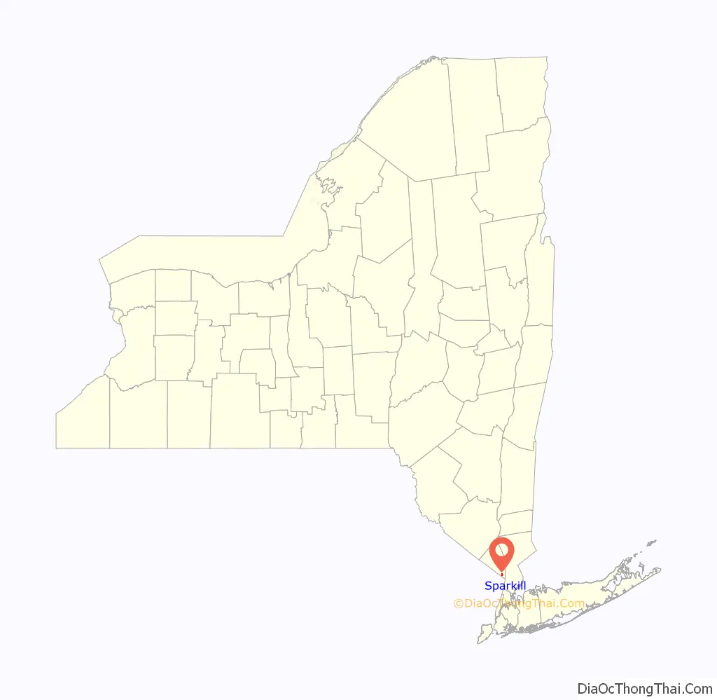
Sparkill location map. Where is Sparkill CDP?

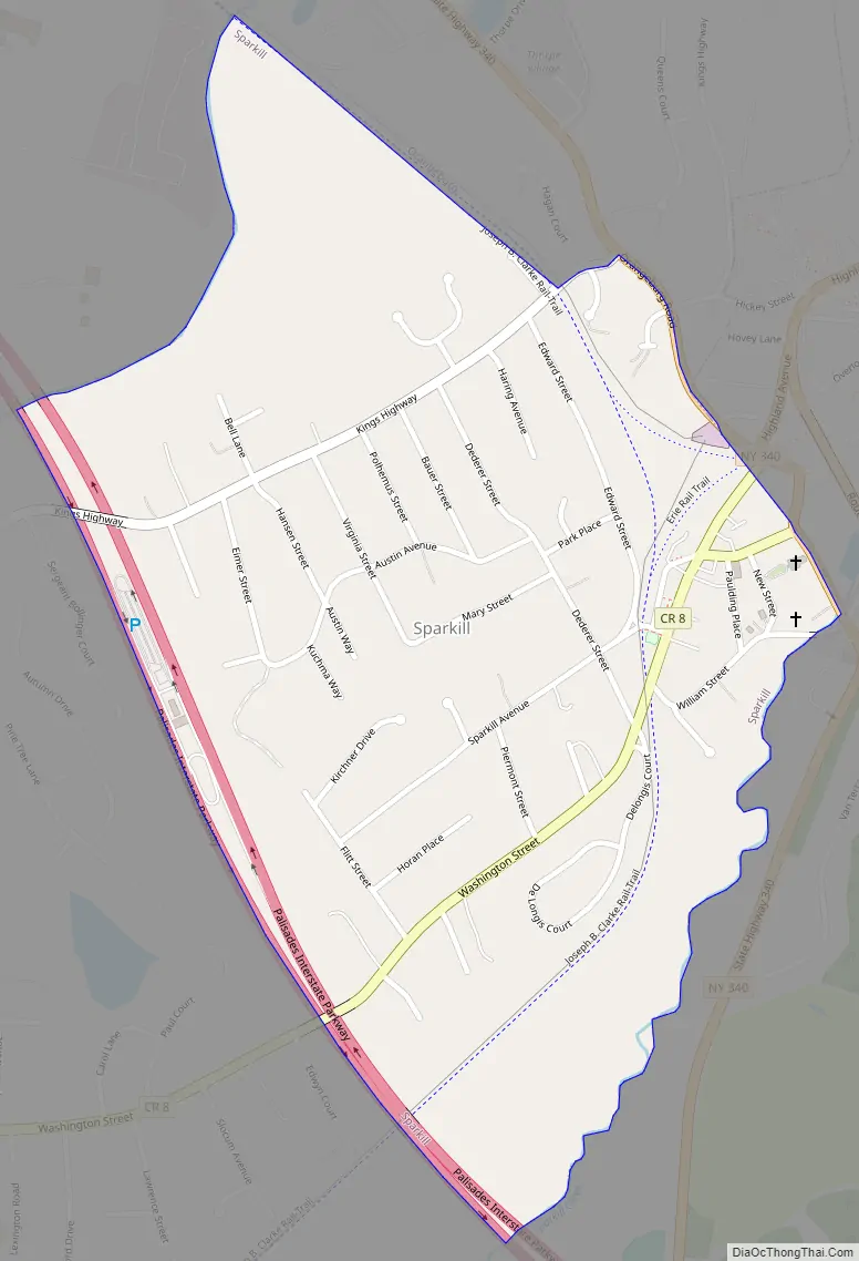
Sparkill Road Map
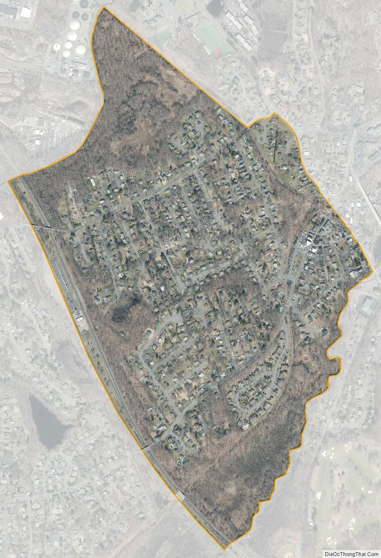
Sparkill city Satellite Map
Geography
Sparkill is located at 41°3′52″N 73°57′25″W. According to the United States Census Bureau, the CDP has a total area of 0.529 square mile, all land.
See also
Map of New York State and its subdivision:- Albany
- Allegany
- Bronx
- Broome
- Cattaraugus
- Cayuga
- Chautauqua
- Chemung
- Chenango
- Clinton
- Columbia
- Cortland
- Delaware
- Dutchess
- Erie
- Essex
- Franklin
- Fulton
- Genesee
- Greene
- Hamilton
- Herkimer
- Jefferson
- Kings
- Lake Ontario
- Lewis
- Livingston
- Madison
- Monroe
- Montgomery
- Nassau
- New York
- Niagara
- Oneida
- Onondaga
- Ontario
- Orange
- Orleans
- Oswego
- Otsego
- Putnam
- Queens
- Rensselaer
- Richmond
- Rockland
- Saint Lawrence
- Saratoga
- Schenectady
- Schoharie
- Schuyler
- Seneca
- Steuben
- Suffolk
- Sullivan
- Tioga
- Tompkins
- Ulster
- Warren
- Washington
- Wayne
- Westchester
- Wyoming
- Yates
- Alabama
- Alaska
- Arizona
- Arkansas
- California
- Colorado
- Connecticut
- Delaware
- District of Columbia
- Florida
- Georgia
- Hawaii
- Idaho
- Illinois
- Indiana
- Iowa
- Kansas
- Kentucky
- Louisiana
- Maine
- Maryland
- Massachusetts
- Michigan
- Minnesota
- Mississippi
- Missouri
- Montana
- Nebraska
- Nevada
- New Hampshire
- New Jersey
- New Mexico
- New York
- North Carolina
- North Dakota
- Ohio
- Oklahoma
- Oregon
- Pennsylvania
- Rhode Island
- South Carolina
- South Dakota
- Tennessee
- Texas
- Utah
- Vermont
- Virginia
- Washington
- West Virginia
- Wisconsin
- Wyoming


