Unadilla is a village located in the Town of Unadilla in Otsego County, New York, United States. The population was 1,128 at the 2010 census.
The Village of Unadilla is located in the southern part of the town, southwest of Oneonta. The community refers to itself as “The Village Beautiful.”
| Name: | Unadilla village |
|---|---|
| LSAD Code: | 47 |
| LSAD Description: | village (suffix) |
| State: | New York |
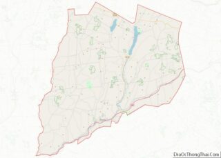
| County: | Otsego County |
| Elevation: | 1,010 ft (308 m) |
| Total Area: | 1.09 sq mi (2.81 km²) |
| Land Area: | 1.04 sq mi (2.68 km²) |
| Water Area: | 0.05 sq mi (0.13 km²) |
| Total Population: | 1,065 |
| Population Density: | 1,027.00/sq mi (396.70/km²) |
| ZIP code: | 13849 |
| Area code: | 607 |
| FIPS code: | 3676001 |
| GNISfeature ID: | 0968118 |
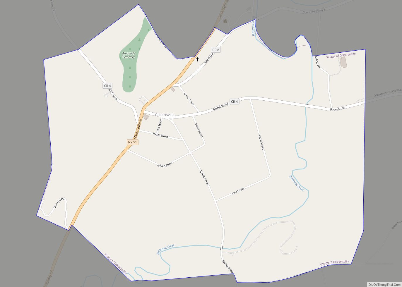
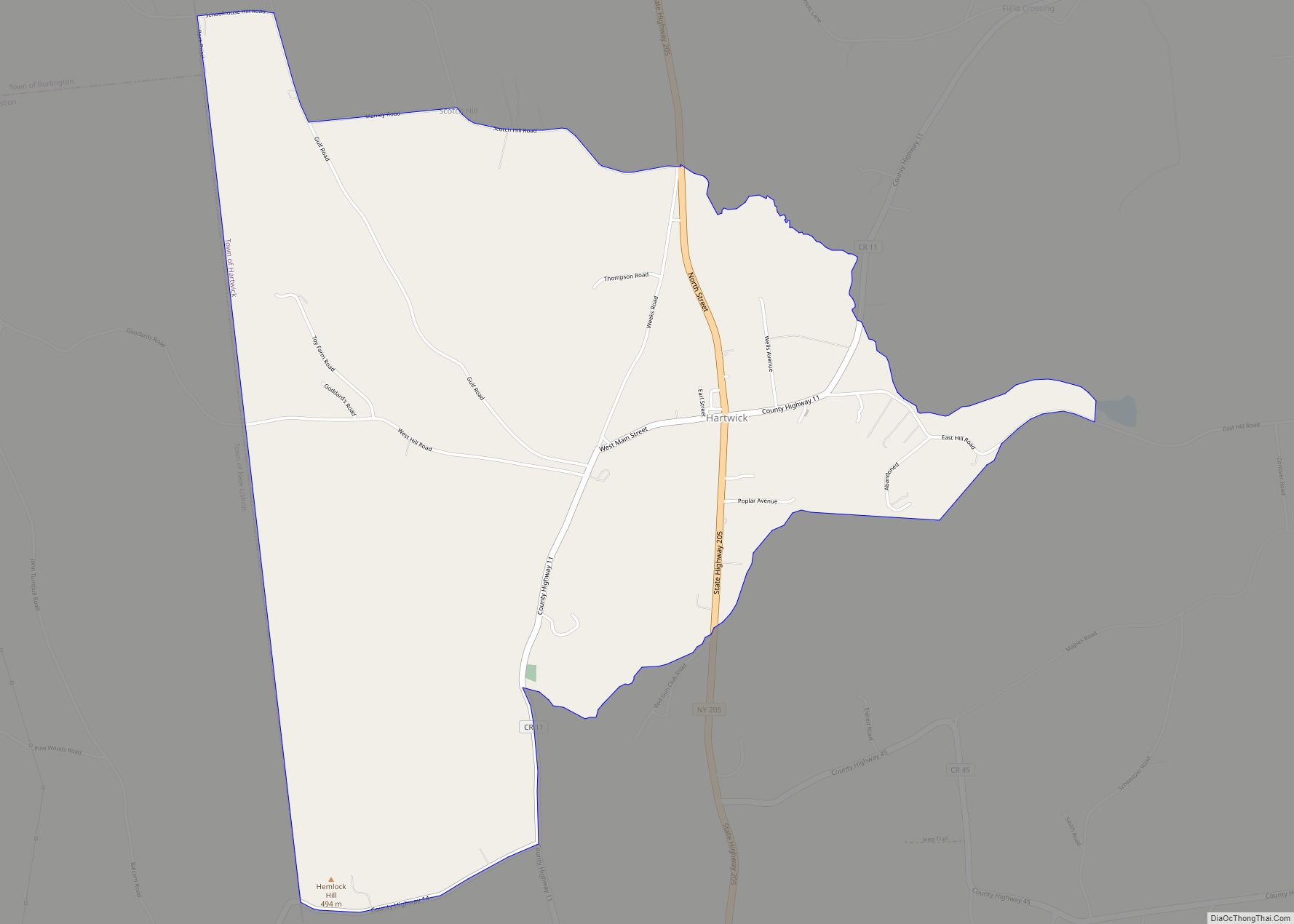
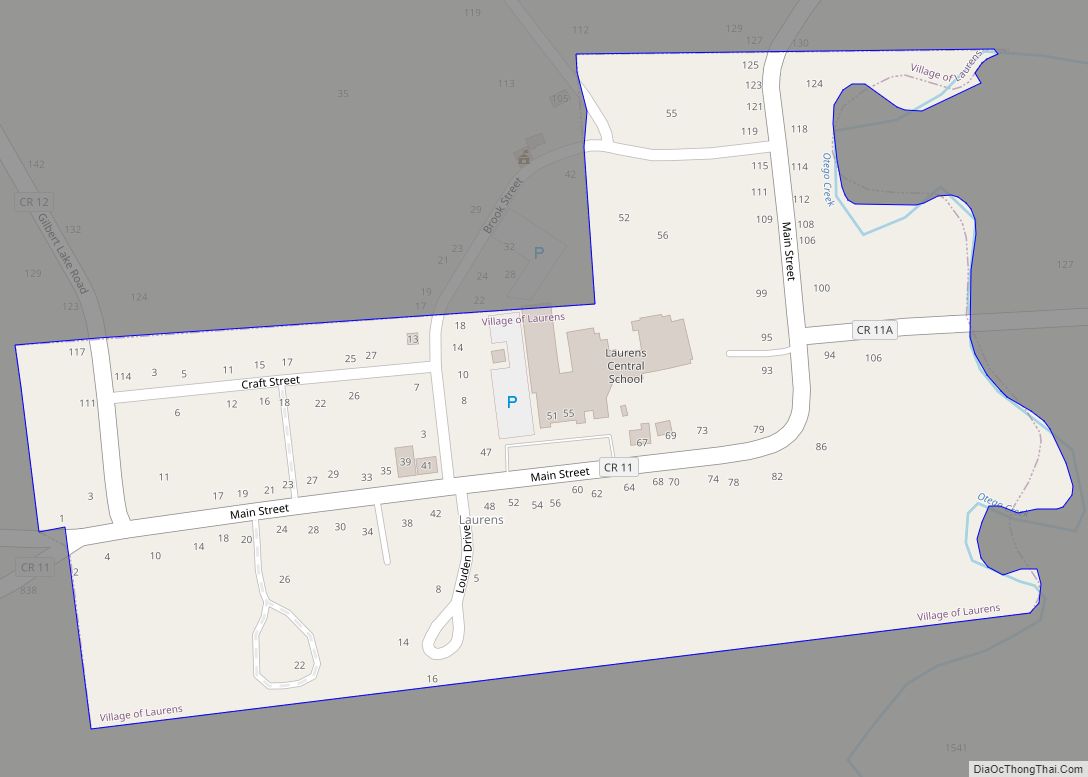
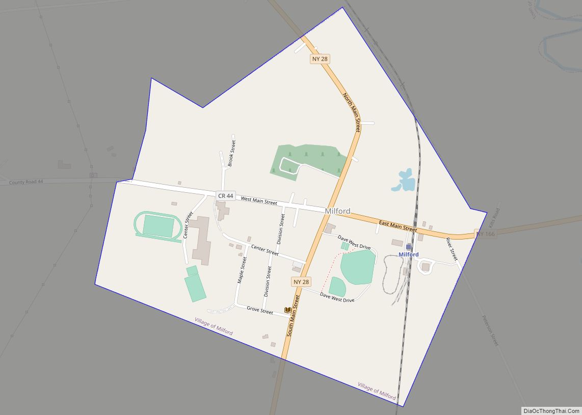
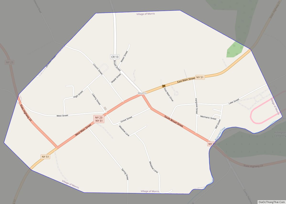
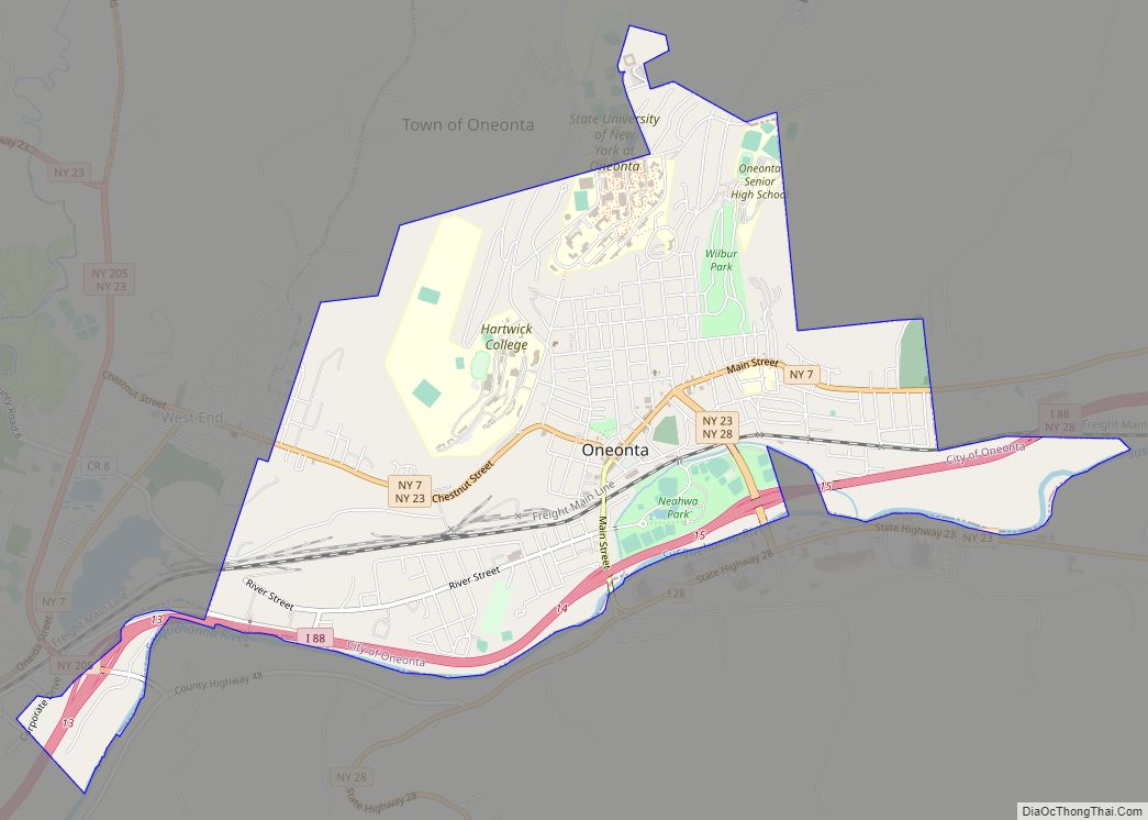
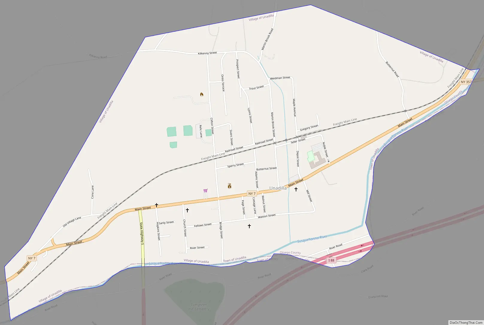
Online Interactive Map
Click on ![]() to view map in "full screen" mode.
to view map in "full screen" mode.
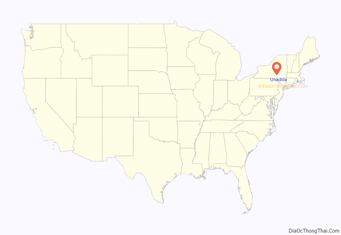
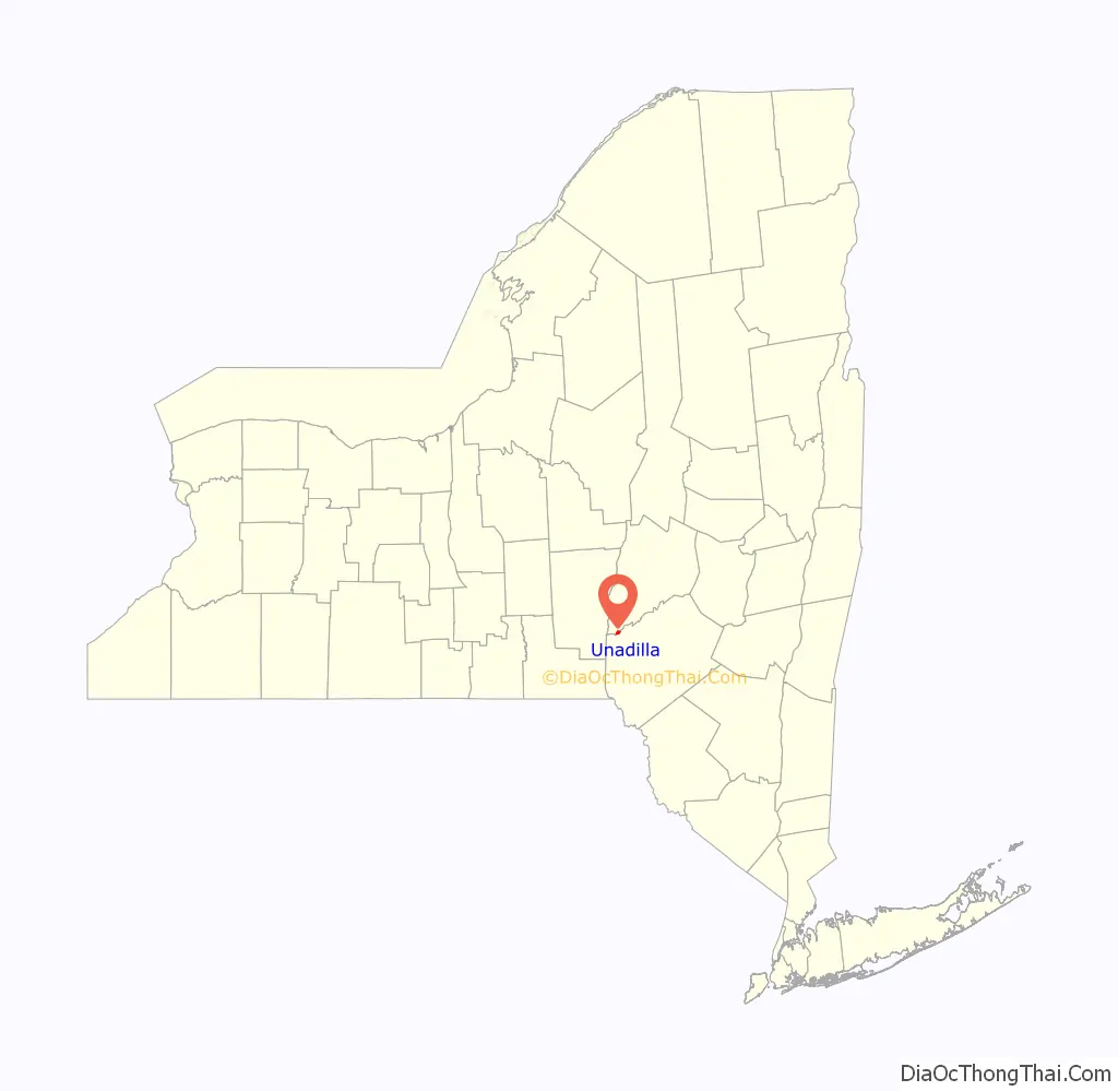
Unadilla location map. Where is Unadilla village?
History
The town was originally the site of a Seneca Indian village at the confluence of the Susquehanna and Unadilla Rivers, where the village of Sidney (in Delaware County) is now located. The name Unadilla, which represents one spelling from a number of different interpretations of several Iroquois dialects, is said to mean “Meeting Place”, indicating the place where two rivers meet.
Unadilla was first settled by whites around 1770. The location of the village now called Unadilla was first settled about the same time by a group of Scots-Irish at the junction of the Ouleout Creek and the Susquehanna River. Both villages were destroyed by the Continental Army in October 1778 because they were being used by Loyalists as a base for raiding frontier communities.
Shortly thereafter, Unadilla Village was again settled, and originally called “Wattles Ferry,” It grew after it became an important stop for travel west: the Catskill Turnpike crossed the Susquehanna at Wattles Ferry, located in the eastern end of the village. Eventually, the turnpikes were replaced in importance by the Albany and Susquehanna Railroad (later the Delaware and Hudson Railway). The small community continued to take advantage of this progress and prosper.
Unadilla incorporated as a village in 1827, finally incorporated in 1889.
The village contains many historical homes, some built before the Civil War.
Unadilla’s Boy Scout Troop #1 was chartered in 1910, and is recognized as the oldest continuously operating troop in the United States.
The Unadilla Village Historic District and Roswell Wright House are listed on the National Register of Historic Places.
Unadilla Road Map
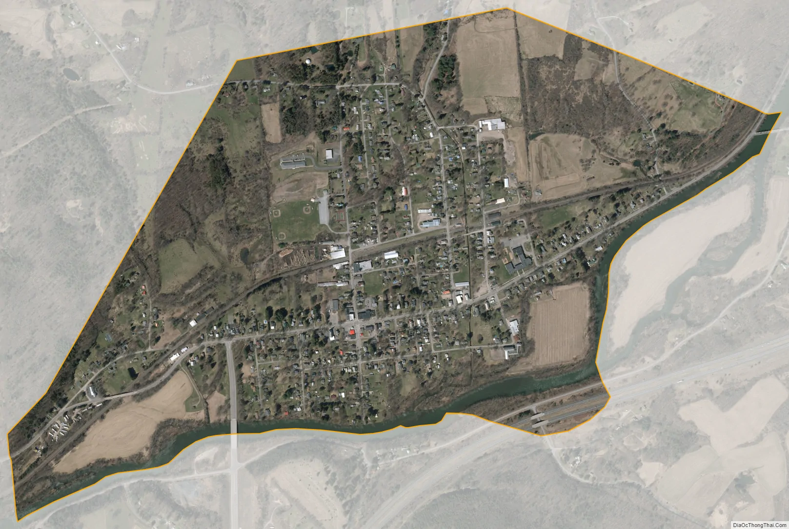
Unadilla city Satellite Map
Geography
Unadilla is located at 42°19′36″N 75°18′53″W / 42.32667°N 75.31472°W / 42.32667; -75.31472 (42.326694, -75.314863).
According to the United States Census Bureau, the village has a total area of 1.1 square miles (2.8 km), all land.
The Village of Unadilla is located in Otsego County, adjacent to the Susquehanna River by the county line shared with Delaware County. The village is about three miles upstream from the Village of Sidney located in Delaware County. The Village of Unadilla is located in the south part of the Town of Unadilla on New York Route 7 (Main Street) and north of Interstate 88.
See also
Map of New York State and its subdivision:- Albany
- Allegany
- Bronx
- Broome
- Cattaraugus
- Cayuga
- Chautauqua
- Chemung
- Chenango
- Clinton
- Columbia
- Cortland
- Delaware
- Dutchess
- Erie
- Essex
- Franklin
- Fulton
- Genesee
- Greene
- Hamilton
- Herkimer
- Jefferson
- Kings
- Lake Ontario
- Lewis
- Livingston
- Madison
- Monroe
- Montgomery
- Nassau
- New York
- Niagara
- Oneida
- Onondaga
- Ontario
- Orange
- Orleans
- Oswego
- Otsego
- Putnam
- Queens
- Rensselaer
- Richmond
- Rockland
- Saint Lawrence
- Saratoga
- Schenectady
- Schoharie
- Schuyler
- Seneca
- Steuben
- Suffolk
- Sullivan
- Tioga
- Tompkins
- Ulster
- Warren
- Washington
- Wayne
- Westchester
- Wyoming
- Yates
- Alabama
- Alaska
- Arizona
- Arkansas
- California
- Colorado
- Connecticut
- Delaware
- District of Columbia
- Florida
- Georgia
- Hawaii
- Idaho
- Illinois
- Indiana
- Iowa
- Kansas
- Kentucky
- Louisiana
- Maine
- Maryland
- Massachusetts
- Michigan
- Minnesota
- Mississippi
- Missouri
- Montana
- Nebraska
- Nevada
- New Hampshire
- New Jersey
- New Mexico
- New York
- North Carolina
- North Dakota
- Ohio
- Oklahoma
- Oregon
- Pennsylvania
- Rhode Island
- South Carolina
- South Dakota
- Tennessee
- Texas
- Utah
- Vermont
- Virginia
- Washington
- West Virginia
- Wisconsin
- Wyoming