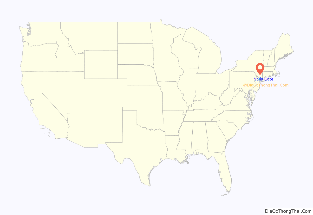
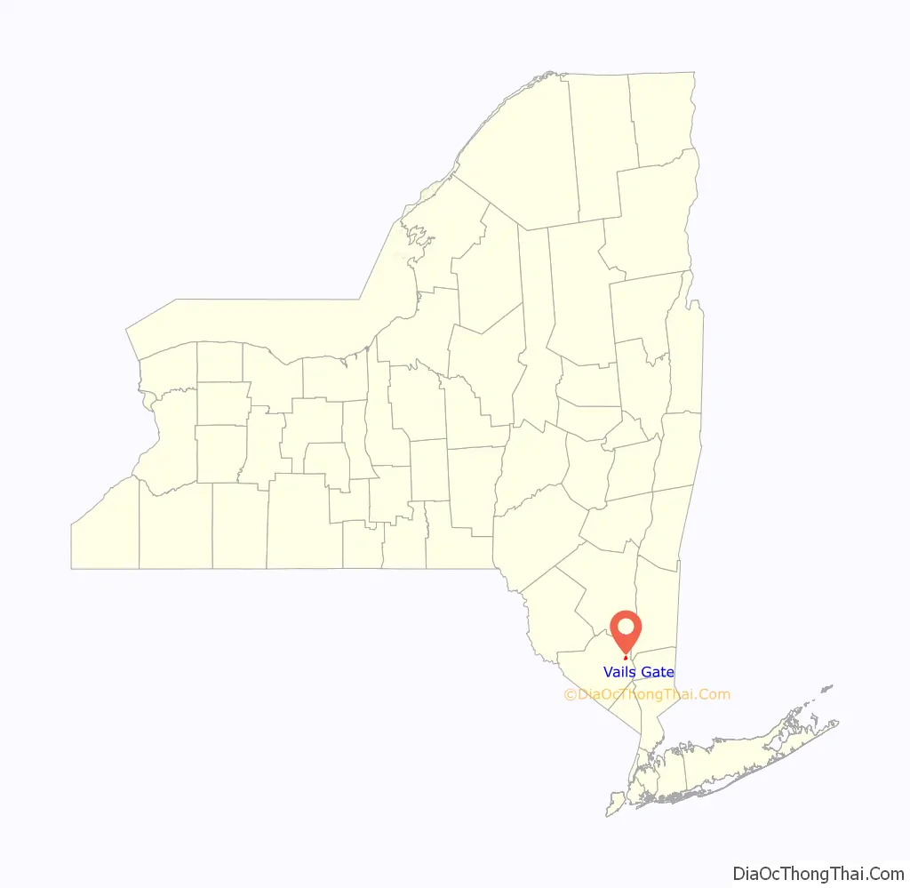
Vails Gate is a hamlet (and census-designated place) in Orange County, New York, United States. The population was 3,368 at the 2020 census. It is part of the Poughkeepsie–Newburgh–Middletown, NY Metropolitan Statistical Area as well as the larger New York–Newark–Bridgeport, NY-NJ–CT–PA Combined Statistical Area.
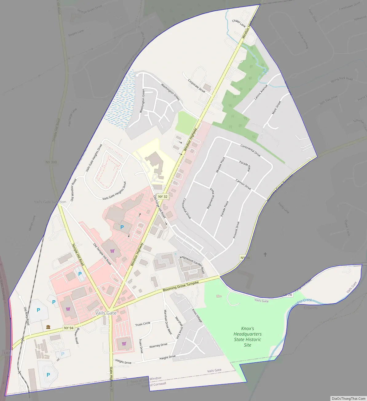
Vails Gate is in the southern part of the Town of New Windsor, located on Route 32. It is defined largely by the junction of that highway with Routes 94 and 300, a busy commercial center which has the ZIP code 12584. Part of that also spills into adjacent regions of the Town of Cornwall to the south.
| Name: | Vails Gate CDP |
|---|---|
| LSAD Code: | 57 |
| LSAD Description: | CDP (suffix) |
| State: | New York |
| County: | Orange County |
| Elevation: | 282 ft (86 m) |
| Total Area: | 1.03 sq mi (2.67 km²) |
| Land Area: | 1.03 sq mi (2.67 km²) |
| Water Area: | 0.00 sq mi (0.00 km²) |
| Total Population: | 3,368 |
| Population Density: | 3,266.73/sq mi (1,261.02/km²) |
| ZIP code: | 12584 |
| Area code: | 845 |
| FIPS code: | 3676584 |
| GNISfeature ID: | 0968340 |
Online Interactive Map
Click on ![]() to view map in "full screen" mode.
to view map in "full screen" mode.
Vails Gate location map. Where is Vails Gate CDP?
History
The locale has always been referred to as a neighborhood of New Windsor. In the 19th century, it became known as Vail’s Gate, after John D. Vail, a former postmaster and keeper of the Blooming Grove Turnpike tollgate. For the same reason, it was also earlier called Tooker’s Gate.
Vail served as the first postmaster of the New Windsor post office, established on April 10, 1850, being named the Mortonville Post Office. The name was finally changed to Vails Gate Post Office, which led to the apostrophe permanently dropping from the name. Efforts to change the name of the hamlet to Mortonville, after the Morton family, residents of the Ellison House, never occurred.
Historic sites
- Knox’s Headquarters
- New Windsor Cantonment
- Edmonston House
- Vails Gate Methodist Church and Cemetery
- Brewster’s Forge Memorial
Vails Gate Road Map
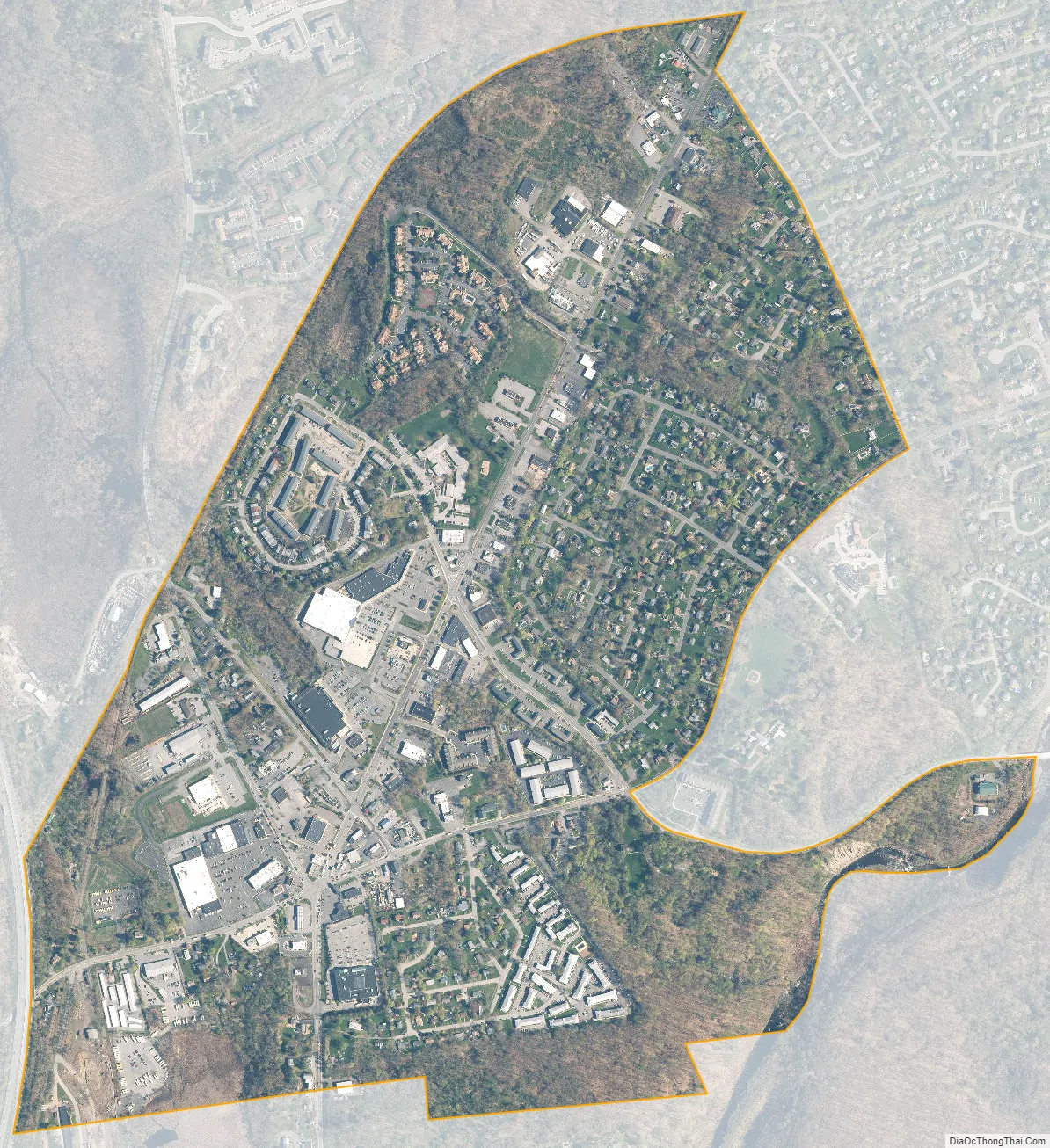
Vails Gate city Satellite Map
Geography
Vails Gate is located at 41°27′29″N 74°3′13″W / 41.45806°N 74.05361°W / 41.45806; -74.05361 (41.457943, -74.053484).
According to the United States Census Bureau, the CDP has a total area of 1.0 square mile (2.6 km), all land.
See also
Map of New York State and its subdivision:- Albany
- Allegany
- Bronx
- Broome
- Cattaraugus
- Cayuga
- Chautauqua
- Chemung
- Chenango
- Clinton
- Columbia
- Cortland
- Delaware
- Dutchess
- Erie
- Essex
- Franklin
- Fulton
- Genesee
- Greene
- Hamilton
- Herkimer
- Jefferson
- Kings
- Lake Ontario
- Lewis
- Livingston
- Madison
- Monroe
- Montgomery
- Nassau
- New York
- Niagara
- Oneida
- Onondaga
- Ontario
- Orange
- Orleans
- Oswego
- Otsego
- Putnam
- Queens
- Rensselaer
- Richmond
- Rockland
- Saint Lawrence
- Saratoga
- Schenectady
- Schoharie
- Schuyler
- Seneca
- Steuben
- Suffolk
- Sullivan
- Tioga
- Tompkins
- Ulster
- Warren
- Washington
- Wayne
- Westchester
- Wyoming
- Yates
- Alabama
- Alaska
- Arizona
- Arkansas
- California
- Colorado
- Connecticut
- Delaware
- District of Columbia
- Florida
- Georgia
- Hawaii
- Idaho
- Illinois
- Indiana
- Iowa
- Kansas
- Kentucky
- Louisiana
- Maine
- Maryland
- Massachusetts
- Michigan
- Minnesota
- Mississippi
- Missouri
- Montana
- Nebraska
- Nevada
- New Hampshire
- New Jersey
- New Mexico
- New York
- North Carolina
- North Dakota
- Ohio
- Oklahoma
- Oregon
- Pennsylvania
- Rhode Island
- South Carolina
- South Dakota
- Tennessee
- Texas
- Utah
- Vermont
- Virginia
- Washington
- West Virginia
- Wisconsin
- Wyoming


