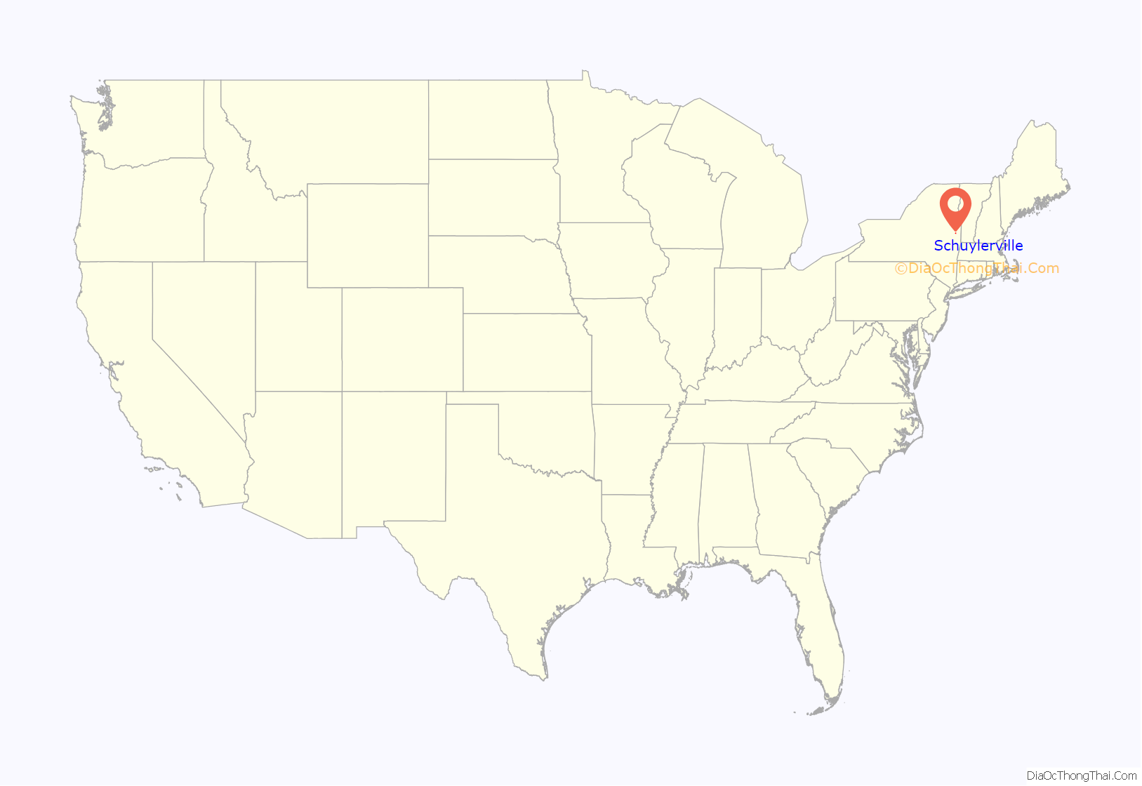
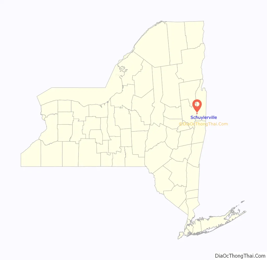
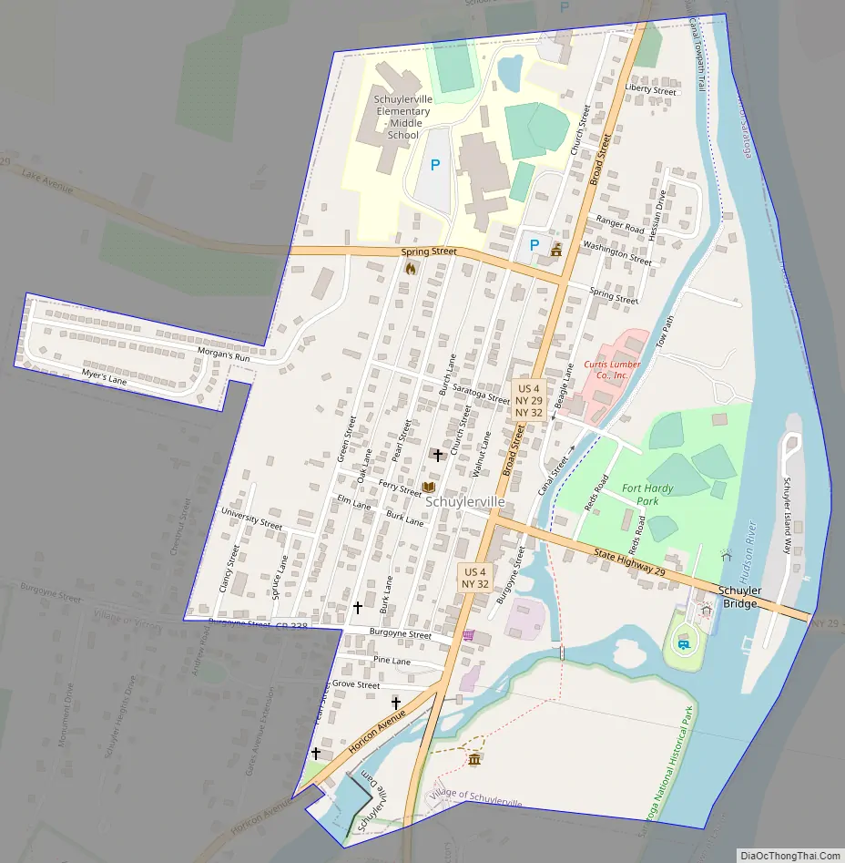
Schuylerville (/ˈskaɪlərˌvɪl/) is a village in Saratoga County, New York, United States. The village is located in the northeastern part of the Town of Saratoga, east of Saratoga Springs. The Village of Victory is adjacent to Schuylerville to the southwest and the Hudson River forms the village’s eastern border. The population was 1,386 at the 2010 census. The village was incorporated in 1831 and is named after the Schuyler family, a prominent family of Dutch descent in colonial America.
Schuylerville was the site of the surrender of the British Army under General John Burgoyne, following the Battles of Saratoga (1777) in the nearby Town of Stillwater. Schuylerville contains several historic buildings, including the General Schuyler House, part of the Saratoga National Historical Park, and Old Saratoga Reformed Church. The schools of the Schuylerville Central School District are located in the village, as are the offices of the Town of Saratoga. The village is served by a public library, Fort Hardy Park, a visitor’s center, Schuyler Hose Company volunteer fire department and several churches. Village government consists of a mayor and four trustees.
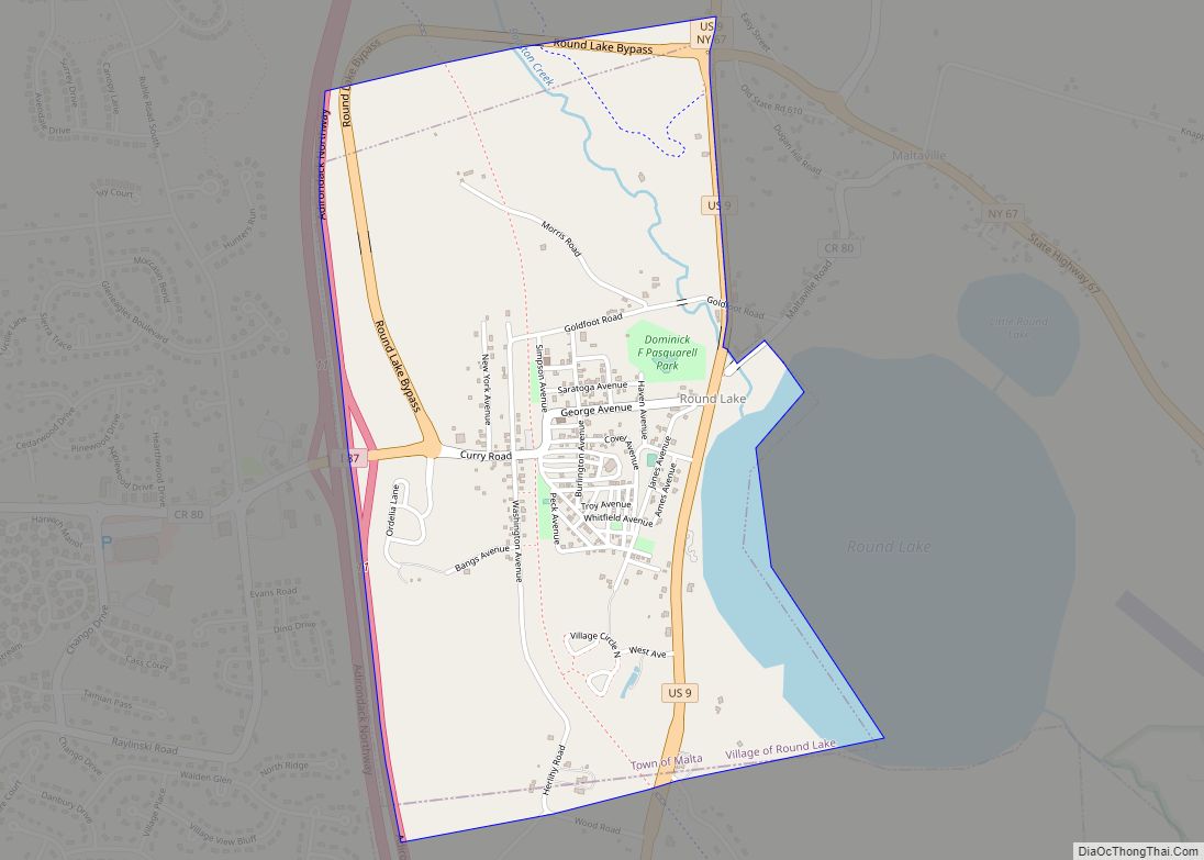
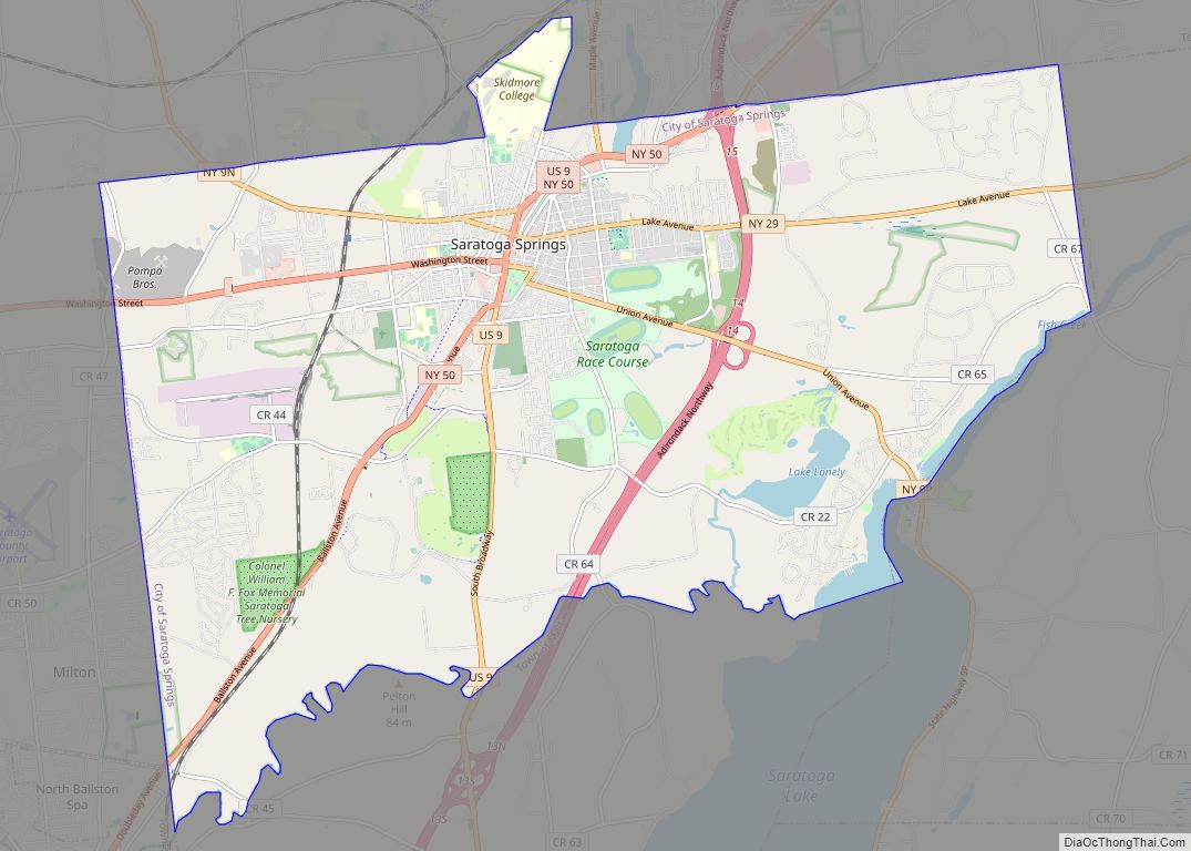
Nearby cultural attractions include the Saratoga Performing Arts Center, Saratoga Race Course, Saratoga National Historical Park and Glens Falls Civic Center. Skidmore College, SUNY Empire State College and Adirondack Community College are also nearby.
| Name: | Schuylerville village |
|---|---|
| LSAD Code: | 47 |
| LSAD Description: | village (suffix) |
| State: | New York |
| County: | Saratoga County |
| Elevation: | 128 ft (39 m) |
| Total Area: | 0.59 sq mi (1.52 km²) |
| Land Area: | 0.53 sq mi (1.38 km²) |
| Water Area: | 0.05 sq mi (0.14 km²) |
| Total Population: | 1,370 |
| Population Density: | 2,570.36/sq mi (992.39/km²) |
| ZIP code: | 12871 |
| Area code: | 518 |
| FIPS code: | 3665750 |
| GNISfeature ID: | 0964639 |
| Website: | www.villageofschuylerville.org |
Online Interactive Map
Click on ![]() to view map in "full screen" mode.
to view map in "full screen" mode.
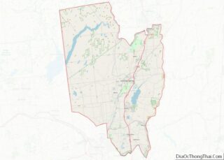
Schuylerville location map. Where is Schuylerville village?
History
Inhabited by Native Americans as late as 820 A.D., the region was eventually settled by Dutch settlers from Albany in 1691, who called the region Fort Saratoga. These settlers included the influential Schuyler family. Conflicts occurred among the French, Mohawk, Mohican, Dutch, and English peoples. The peace of 1763 between France and England resulted in this area being available for settlement. Homes and mills were built by European Americans, including General Phillip Schuyler’s flax mill in 1767 (the first of its kind in the American colonies).
The community that developed near the fort was originally called “Saratoga”, but was partly destroyed by the French and their Native allies in 1745 during King George’s War. The Old Saratoga Reformed Church was organized in 1770. It was used as a hospital during the Revolutionary War.
Revolutionary War
In 1777, the British Army under General [stark] crossed the Hudson River, one-half mile north of Schuylerville (known then as Saratoga) on their campaign from Canada to Albany in an attempt to end the American Revolution by splitting the colonies in two. The British marched south approximately nine miles to Bemis Heights, near present-day Stillwater, where American troops engaged them in the two Battles of Saratoga, the first on September 19 and the second on October 7, 1777. The British advance was stopped by the American forces, and the British retreated back northward to an encampment along Fish Creek, just outside the village. The Saratoga Battle Monument in the Village of Victory is located near the site of the British encampment.
American forces blocked further British retreat and surrounded the encampment. With winter approaching and no hope of escape, the British were forced to surrender. On October 17, 1777, General Burgoyne surrendered his army to American General Horatio Gates, marking the turning point of the American Revolution. The British laid down their arms in what is now Fort Hardy Park in the Village of Schuylerville. The American victory at Saratoga was enough to convince France to throw their support to the American cause, and Spain eventually followed France’s lead.
Historic sites
The Schuyler House, the Bullard Block, Old Saratoga Reformed Church, and St. Stephen’s Episcopal Church are listed on the National Register of Historic Places. The Marshall House is listed as a significant Revolutionary War historic site and is the sole surviving building from the time of the Battles of Saratoga.
The Marshall House lies one mile north of the village center on US Highway 4 and NY Highway 32. It was made famous by the publication of Baroness Frederika Riedesel’s Letters and Journals relating to the War of the American Revolution and the Capture of the German Troops at Saratoga.
This house was built in 1770-1773. During the closing days of the Battles of Saratoga, Baroness Riedesel with her three infant daughters sheltered there, together with the wives of British army officers and wounded personnel. Her account of the travails of those around her, her keen insight into the personalities of the principal officers of both the British and American armies, and her devotion to her husband in peril have led some commentators to name her as the first woman war correspondent.
The Marshall House was bombarded by the Americans, who assumed it to be an enemy headquarters. Within are conserved cannonballs and other reminders of the ordeal suffered by those who took refuge there. The stone cellar, made famous by the baroness, is largely unchanged. The Marshall House is the sole remaining witness building to the Battles of Saratoga. The owners welcome visitors by appointment.
Schuylerville Road Map
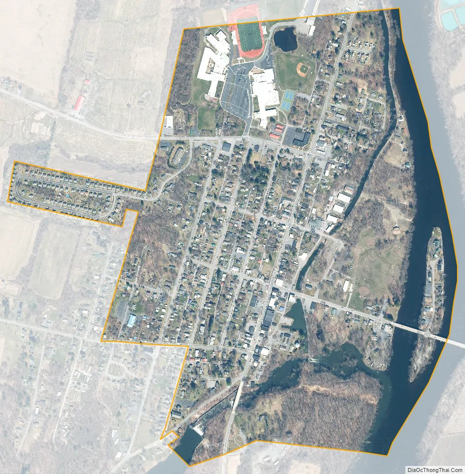
Schuylerville city Satellite Map
Geography
According to the United States Census Bureau, the village has a total area of 0.6 square miles (1.6 km), of which 0.5 square miles (1.3 km) is land and 0.1 square miles (0.26 km) (10.34%) is water.
The village is on the west bank of the Hudson River, which defines the county line of Washington County.
U.S. Route 4 and NY Route 29 intersect in the community. NY Route 32 is conjoined with US-4 in the village.
See also
Map of New York State and its subdivision:- Albany
- Allegany
- Bronx
- Broome
- Cattaraugus
- Cayuga
- Chautauqua
- Chemung
- Chenango
- Clinton
- Columbia
- Cortland
- Delaware
- Dutchess
- Erie
- Essex
- Franklin
- Fulton
- Genesee
- Greene
- Hamilton
- Herkimer
- Jefferson
- Kings
- Lake Ontario
- Lewis
- Livingston
- Madison
- Monroe
- Montgomery
- Nassau
- New York
- Niagara
- Oneida
- Onondaga
- Ontario
- Orange
- Orleans
- Oswego
- Otsego
- Putnam
- Queens
- Rensselaer
- Richmond
- Rockland
- Saint Lawrence
- Saratoga
- Schenectady
- Schoharie
- Schuyler
- Seneca
- Steuben
- Suffolk
- Sullivan
- Tioga
- Tompkins
- Ulster
- Warren
- Washington
- Wayne
- Westchester
- Wyoming
- Yates
- Alabama
- Alaska
- Arizona
- Arkansas
- California
- Colorado
- Connecticut
- Delaware
- District of Columbia
- Florida
- Georgia
- Hawaii
- Idaho
- Illinois
- Indiana
- Iowa
- Kansas
- Kentucky
- Louisiana
- Maine
- Maryland
- Massachusetts
- Michigan
- Minnesota
- Mississippi
- Missouri
- Montana
- Nebraska
- Nevada
- New Hampshire
- New Jersey
- New Mexico
- New York
- North Carolina
- North Dakota
- Ohio
- Oklahoma
- Oregon
- Pennsylvania
- Rhode Island
- South Carolina
- South Dakota
- Tennessee
- Texas
- Utah
- Vermont
- Virginia
- Washington
- West Virginia
- Wisconsin
- Wyoming