Oneida (/oʊˈnaɪdə/, Oneida: kanaˀalóhaleˀ) is a city in Madison County in the U.S. state of New York. It is located west of Oneida Castle (in Oneida County) and east of Wampsville. The population was 11,390 at the 2010 census. The city, like both Oneida County and the nearby silver and china maker, was named for the Oneida tribe, which had a large territory here around Oneida Lake during the colonial period.
| Name: | Oneida city |
|---|---|
| LSAD Code: | 25 |
| LSAD Description: | city (suffix) |
| State: | New York |
| County: | Madison County |
| Elevation: | 430 ft (131 m) |
| Total Area: | 22.14 sq mi (57.33 km²) |
| Land Area: | 22.05 sq mi (57.12 km²) |
| Water Area: | 0.08 sq mi (0.21 km²) |
| Total Population: | 10,329 |
| Population Density: | 468.37/sq mi (180.84/km²) |
| ZIP code: | 13421 |
| Area code: | 315 |
| FIPS code: | 3654837 |
| GNISfeature ID: | 0959363 |
| Website: | www.oneidacity.com |
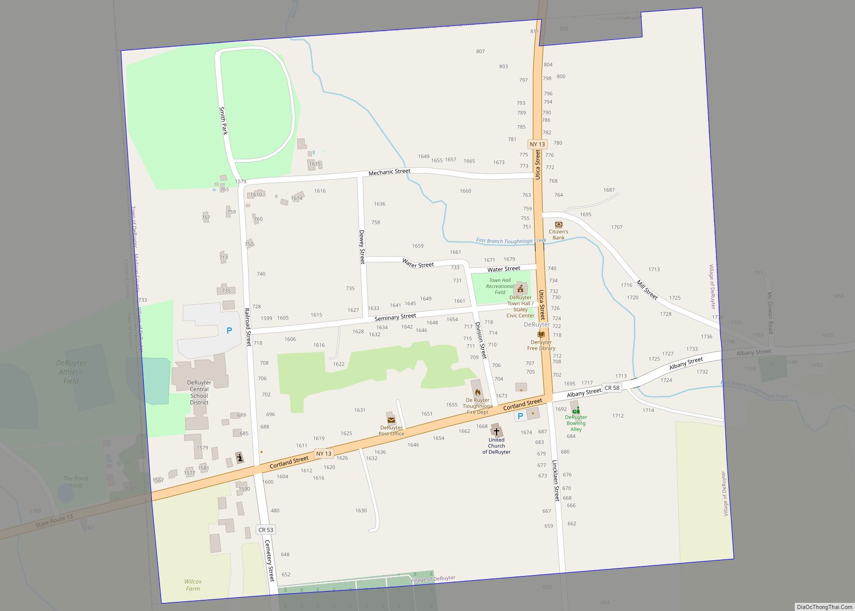
Online Interactive Map
Click on ![]() to view map in "full screen" mode.
to view map in "full screen" mode.
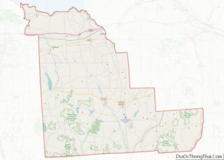
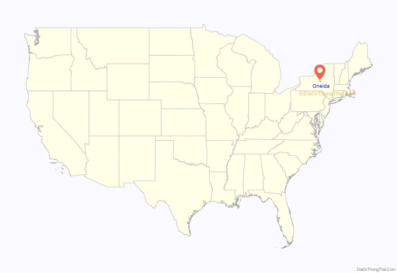
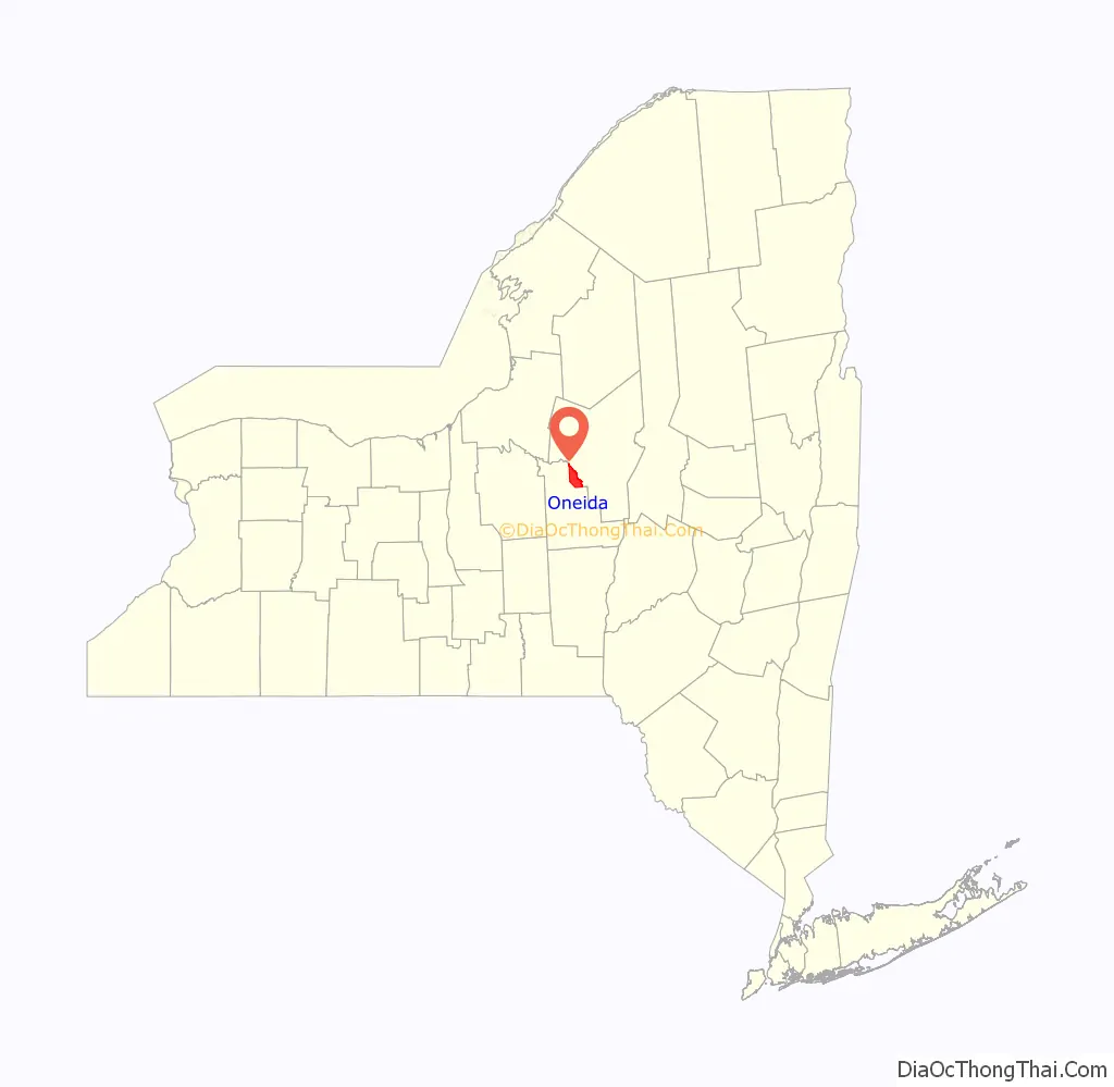
Oneida location map. Where is Oneida city?
History
This area was part of the territory of the Oneida tribe during the colonial era. The Oneida were one of the original Five Nations of the Iroquois League and many Oneida were allies of the Americans during the Revolutionary War, although the Onondaga, Cayuga, Seneca and Mohawk tribes led by Mohawk Chief Joseph Brant, who fought for the British out of Niagara, decimated several isolated American settlements. Returning to their homes after the Revolution, the Oneida men who served and supported the American effort were compensated by the U.S. government for their losses and took in remnants of the Mohegan nation.
The federally recognized Oneida Nation owns land in this vicinity, where some members live. It operates the Turning Stone Casino and Resort in Verona. It is one of four recognized tribes of Oneida people, the only one in the state.
In the post-Revolutionary period, central and western New York were settled by many migrants from New England. With development of the Erie Canal in the early 19th century, the movement of people expanded towards the Midwest as trade and commerce increased. Oneida’s development began to pick up as new trade routes were opened, especially in the period initially following construction of the Oneida Lake canal and feeder and an associated railroad stop, tying it into major trade networks of the day.
The Village of Oneida was incorporated on June 20, 1848 as part of the larger Town of Lenox to its west, but years of friction among the different sections of town spurred this village to establish itself independently as the new Town of Oneida in 1896. In turn, this town was later chartered as the City of Oneida on March 28, 1901. Because of its history, the center part of the city has a compact design and is a pedestrian friendly community today.
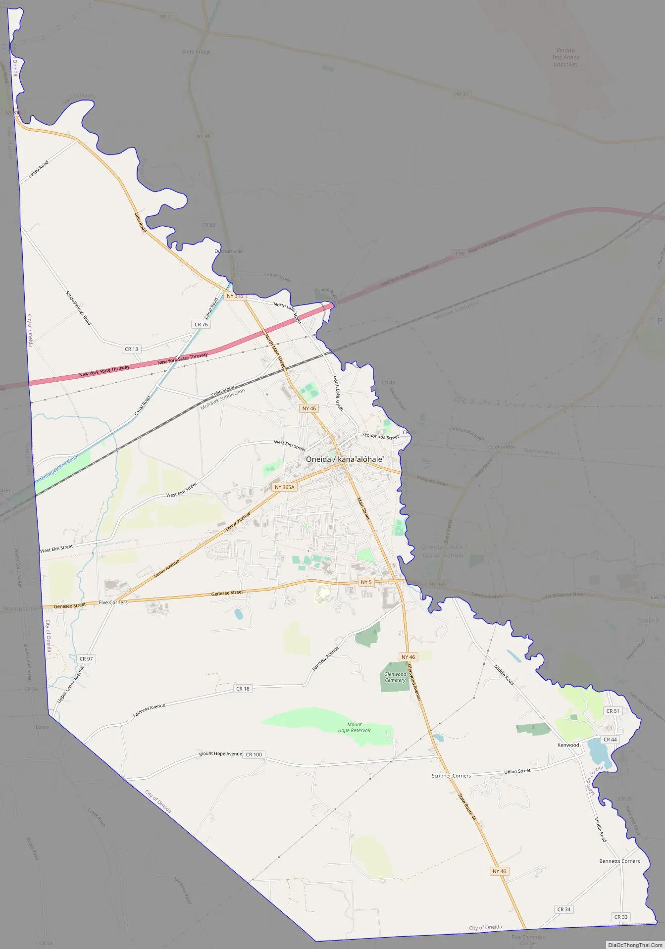
Oneida Road Map
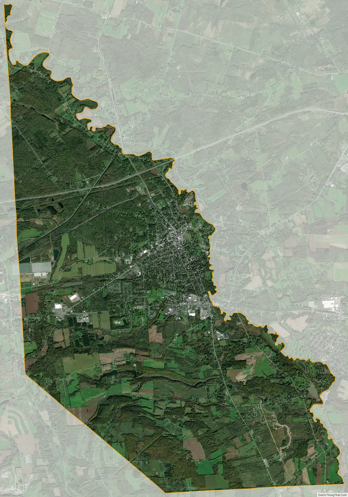
Oneida city Satellite Map
Geography
Oneida is located at 43°5′6″N 75°39′12″W / 43.08500°N 75.65333°W / 43.08500; -75.65333 (43.084961, -75.653375). The city is located between Syracuse and Utica.
According to the United States Census Bureau, the city has a total area of 22.1 square miles (57 km), of which 0.1 square miles (0.26 km) (0.23%) is covered by water.
Oneida is centrally located among Montreal, Toronto, Buffalo, Boston, and New York City. It is west of the Adirondack Mountains. It is located just southeast of Oneida Lake, the largest lake entirely within New York.
See also
Map of New York State and its subdivision:- Albany
- Allegany
- Bronx
- Broome
- Cattaraugus
- Cayuga
- Chautauqua
- Chemung
- Chenango
- Clinton
- Columbia
- Cortland
- Delaware
- Dutchess
- Erie
- Essex
- Franklin
- Fulton
- Genesee
- Greene
- Hamilton
- Herkimer
- Jefferson
- Kings
- Lake Ontario
- Lewis
- Livingston
- Madison
- Monroe
- Montgomery
- Nassau
- New York
- Niagara
- Oneida
- Onondaga
- Ontario
- Orange
- Orleans
- Oswego
- Otsego
- Putnam
- Queens
- Rensselaer
- Richmond
- Rockland
- Saint Lawrence
- Saratoga
- Schenectady
- Schoharie
- Schuyler
- Seneca
- Steuben
- Suffolk
- Sullivan
- Tioga
- Tompkins
- Ulster
- Warren
- Washington
- Wayne
- Westchester
- Wyoming
- Yates
- Alabama
- Alaska
- Arizona
- Arkansas
- California
- Colorado
- Connecticut
- Delaware
- District of Columbia
- Florida
- Georgia
- Hawaii
- Idaho
- Illinois
- Indiana
- Iowa
- Kansas
- Kentucky
- Louisiana
- Maine
- Maryland
- Massachusetts
- Michigan
- Minnesota
- Mississippi
- Missouri
- Montana
- Nebraska
- Nevada
- New Hampshire
- New Jersey
- New Mexico
- New York
- North Carolina
- North Dakota
- Ohio
- Oklahoma
- Oregon
- Pennsylvania
- Rhode Island
- South Carolina
- South Dakota
- Tennessee
- Texas
- Utah
- Vermont
- Virginia
- Washington
- West Virginia
- Wisconsin
- Wyoming