Warrensburg is a census-designated place (CDP) in Warren County, New York, United States. The population was 3,208 at the 2000 census. It is part of the Glens Falls Metropolitan Statistical Area.
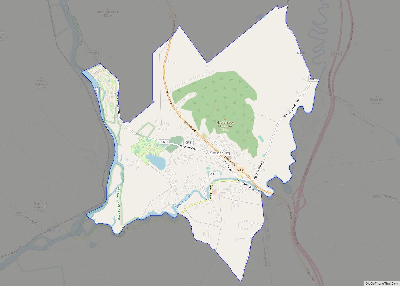
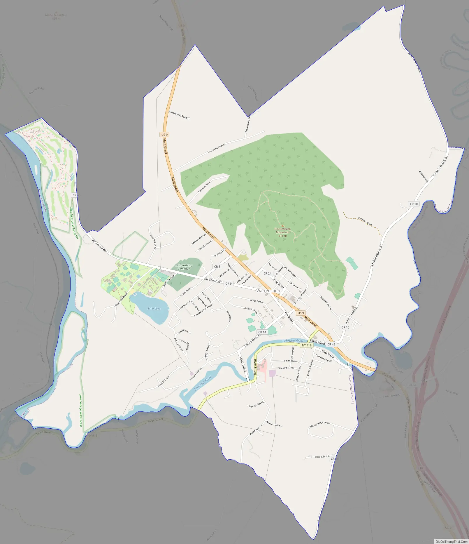
Warrensburg is located on U.S. Route 9, on the Schroon River, east of the Hudson River, and west of Interstate 87 (The Northway). The CDP is entirely within the town of Warrensburg.
According to the 2000 United States Census, the CDP comprises less than one-fifth of the town’s total area, yet has about 75% of the town’s population. The CDP’s population density is more than fourteen times that of the town outside the CDP. Much of the town’s historic core is within the Hamlet of Warrensburgh Historic District, listed on the National Register of Historic Places in 2001. Also listed on the National Register of Historic Places are the Merrill MaGee House, Mixter Blacksmith Shop, and Warrensburg Mills Historic District.
| Name: | Warrensburg CDP |
|---|---|
| LSAD Code: | 57 |
| LSAD Description: | CDP (suffix) |
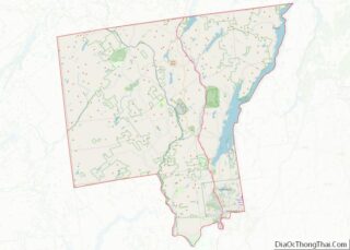
| State: | New York |
| County: | Warren County |
| Elevation: | 745 ft (227 m) |
| Total Area: | 6.96 sq mi (18.02 km²) |
| Land Area: | 6.76 sq mi (17.50 km²) |
| Water Area: | 0.20 sq mi (0.53 km²) |
| Total Population: | 3,045 |
| Population Density: | 450.71/sq mi (174.03/km²) |
| ZIP code: | 12885 |
| Area code: | 518 |
| FIPS code: | 3678289 |
| GNISfeature ID: | 0968825 |
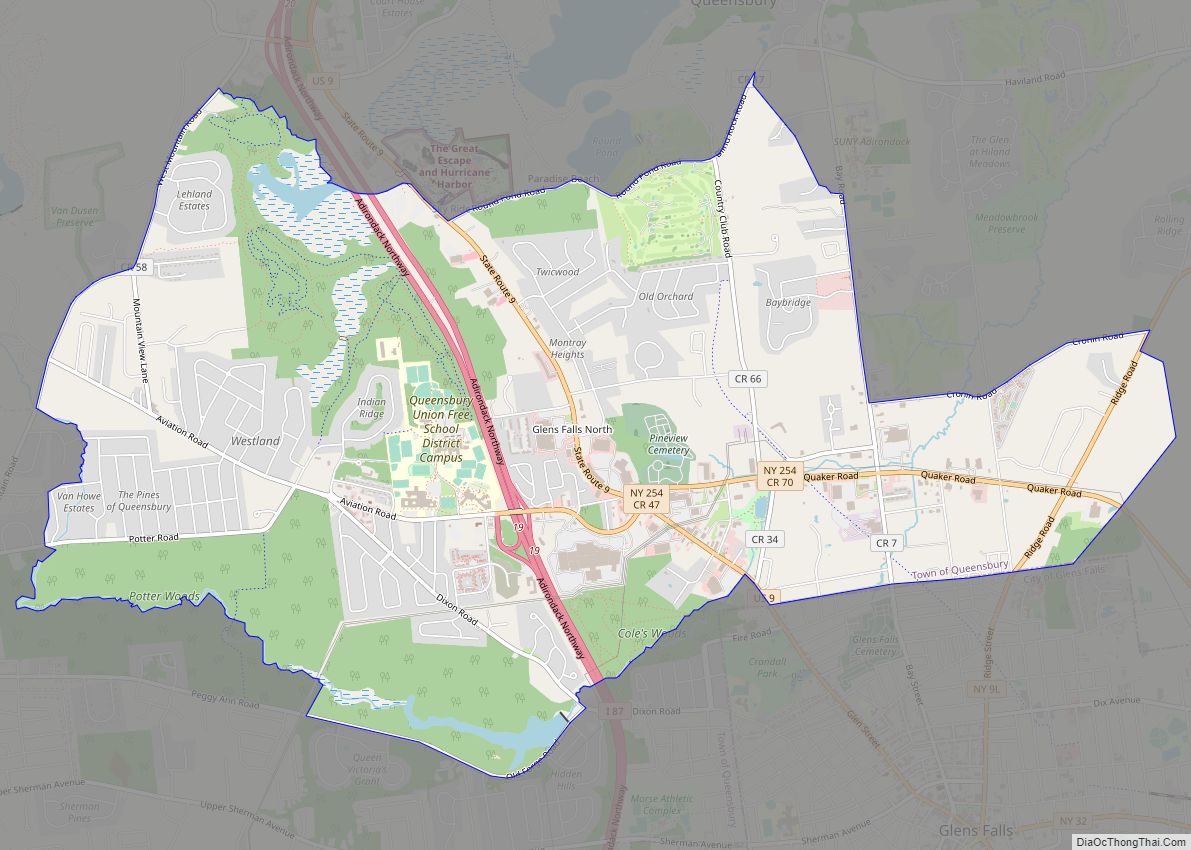
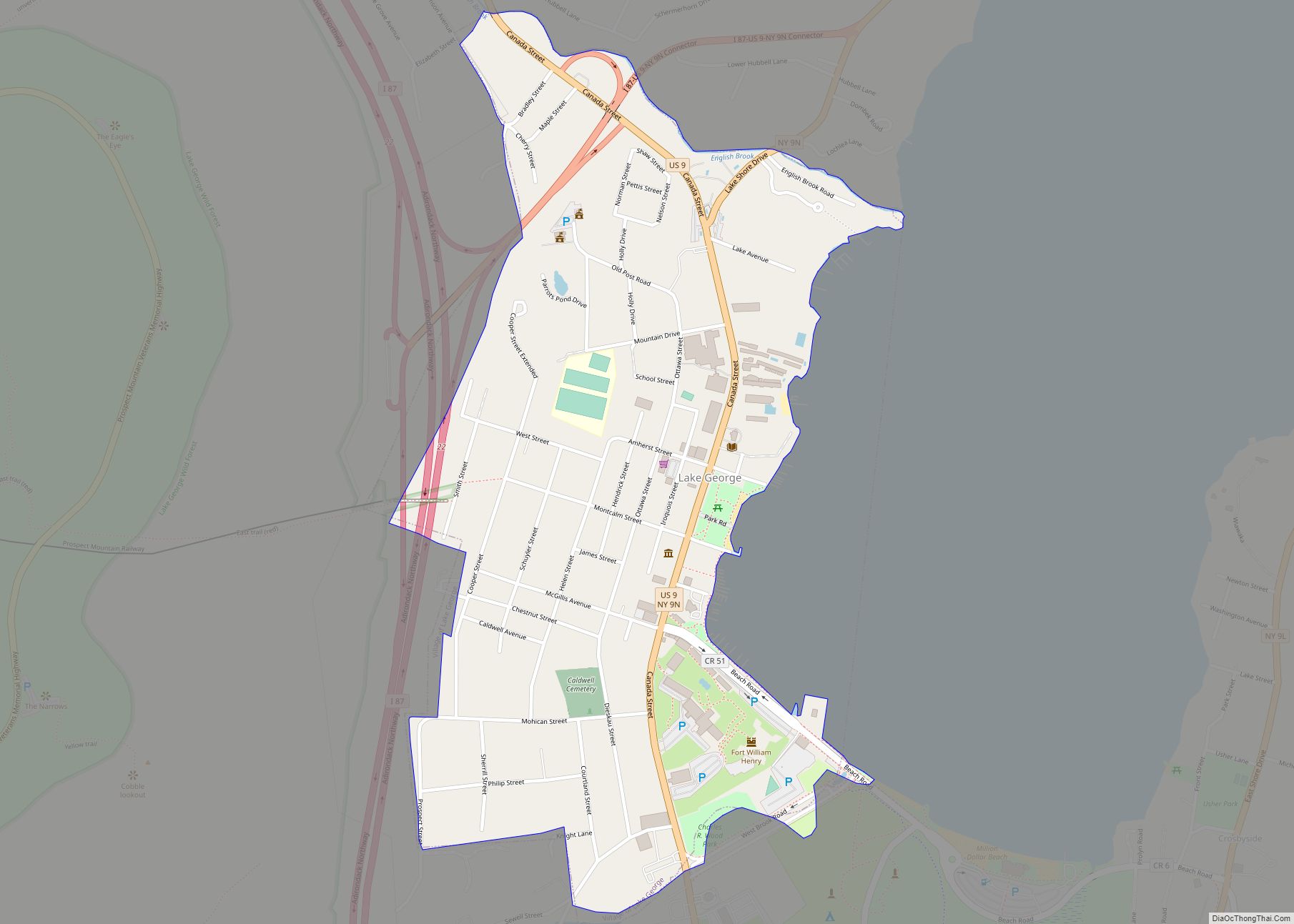
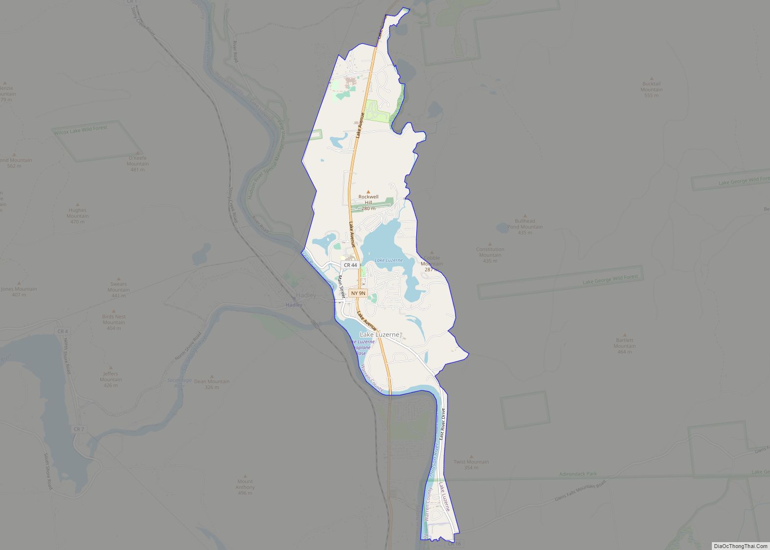
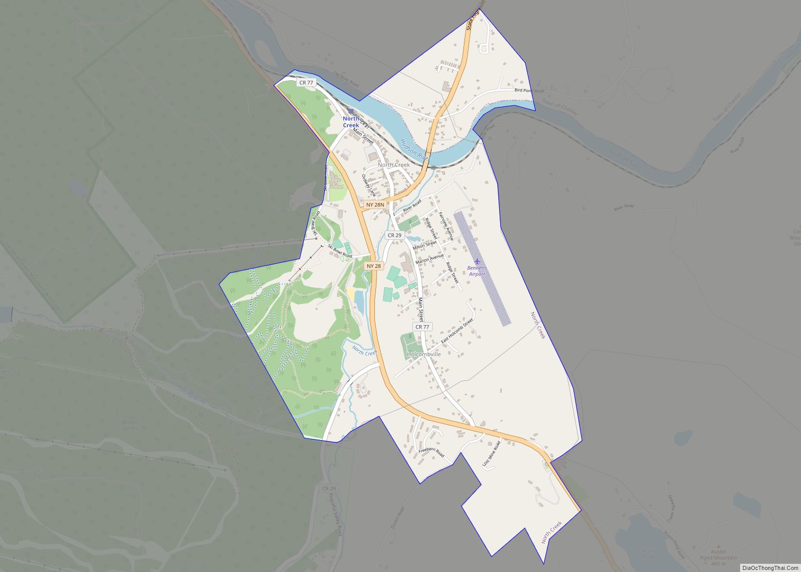
Online Interactive Map
Click on ![]() to view map in "full screen" mode.
to view map in "full screen" mode.
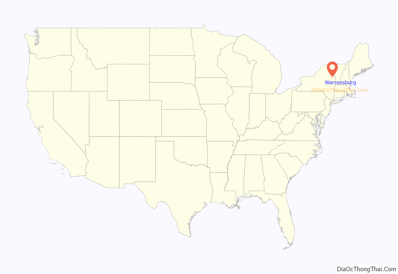
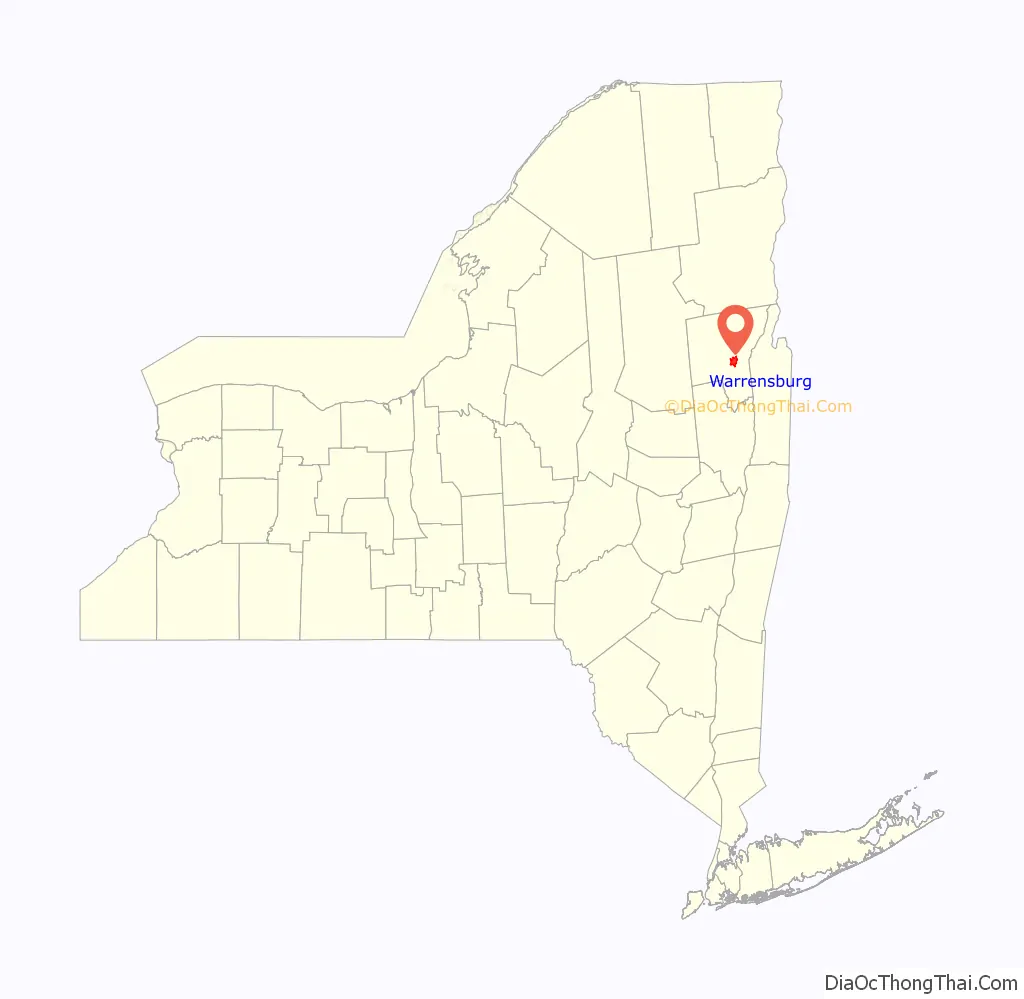
Warrensburg location map. Where is Warrensburg CDP?
Warrensburg Road Map
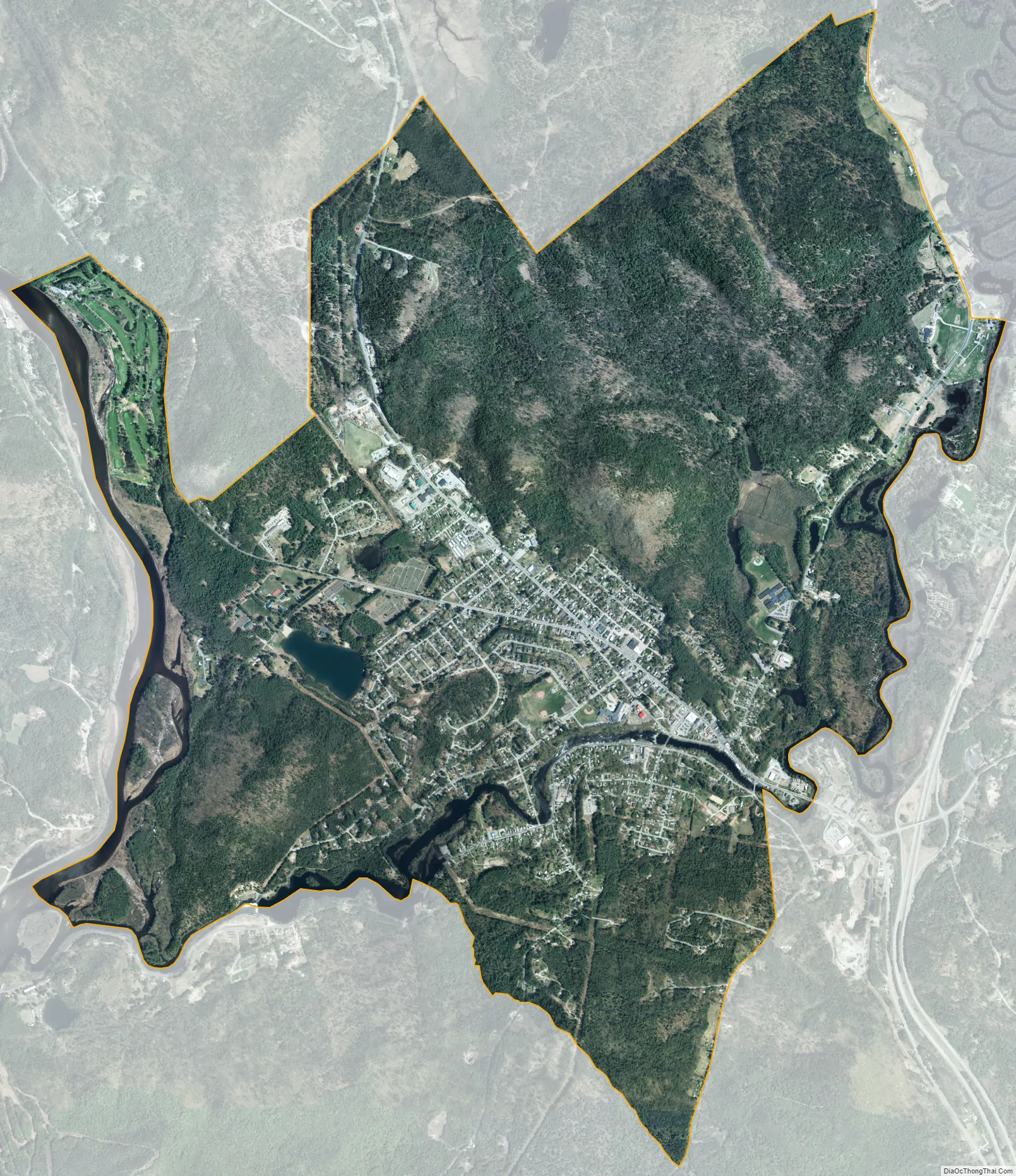
Warrensburg city Satellite Map
Geography
According to the United States Census Bureau, the CDP has a total area of 11.3 square miles (29.2 km), of which 11.1 square miles (28.7 km) is land and 0.2 square mile (0.5 km) (1.86%) is water.
Warrensburg is located west of Lake George and is entirely inside the Adirondack Park.
See also
Map of New York State and its subdivision:- Albany
- Allegany
- Bronx
- Broome
- Cattaraugus
- Cayuga
- Chautauqua
- Chemung
- Chenango
- Clinton
- Columbia
- Cortland
- Delaware
- Dutchess
- Erie
- Essex
- Franklin
- Fulton
- Genesee
- Greene
- Hamilton
- Herkimer
- Jefferson
- Kings
- Lake Ontario
- Lewis
- Livingston
- Madison
- Monroe
- Montgomery
- Nassau
- New York
- Niagara
- Oneida
- Onondaga
- Ontario
- Orange
- Orleans
- Oswego
- Otsego
- Putnam
- Queens
- Rensselaer
- Richmond
- Rockland
- Saint Lawrence
- Saratoga
- Schenectady
- Schoharie
- Schuyler
- Seneca
- Steuben
- Suffolk
- Sullivan
- Tioga
- Tompkins
- Ulster
- Warren
- Washington
- Wayne
- Westchester
- Wyoming
- Yates
- Alabama
- Alaska
- Arizona
- Arkansas
- California
- Colorado
- Connecticut
- Delaware
- District of Columbia
- Florida
- Georgia
- Hawaii
- Idaho
- Illinois
- Indiana
- Iowa
- Kansas
- Kentucky
- Louisiana
- Maine
- Maryland
- Massachusetts
- Michigan
- Minnesota
- Mississippi
- Missouri
- Montana
- Nebraska
- Nevada
- New Hampshire
- New Jersey
- New Mexico
- New York
- North Carolina
- North Dakota
- Ohio
- Oklahoma
- Oregon
- Pennsylvania
- Rhode Island
- South Carolina
- South Dakota
- Tennessee
- Texas
- Utah
- Vermont
- Virginia
- Washington
- West Virginia
- Wisconsin
- Wyoming