Washingtonville is a village in the town of Blooming Grove, Orange County, New York, United States. The population was 5,657 at the 2020 census. It is part of the Poughkeepsie–Newburgh–Middletown, NY Metropolitan Statistical Area as well as the larger New York–Newark–Bridgeport, NY-NJ–CT–PA Combined Statistical Area. The village is named in honor of George Washington.
| Name: | Washingtonville village |
|---|---|
| LSAD Code: | 47 |
| LSAD Description: | village (suffix) |
| State: | New York |
| County: | Orange County |
| Elevation: | 305 ft (93 m) |
| Total Area: | 2.55 sq mi (6.61 km²) |
| Land Area: | 2.54 sq mi (6.57 km²) |
| Water Area: | 0.01 sq mi (0.04 km²) |
| Total Population: | 5,657 |
| Population Density: | 2,228.92/sq mi (860.54/km²) |
| ZIP code: | 10992 |
| Area code: | 845 |
| FIPS code: | 3678465 |
| GNISfeature ID: | 968876 |
| Website: | www.washingtonville-ny.gov |
Online Interactive Map
Click on ![]() to view map in "full screen" mode.
to view map in "full screen" mode.
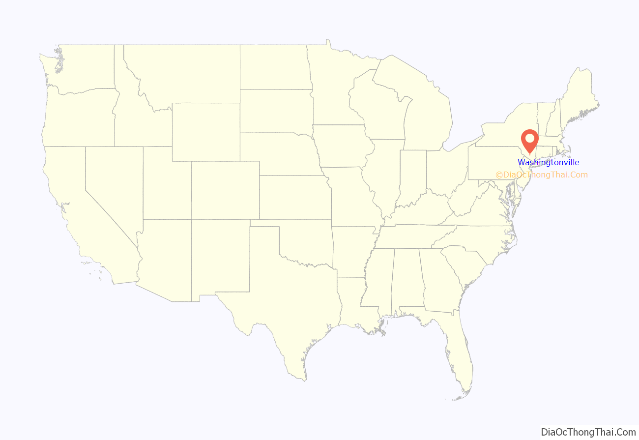
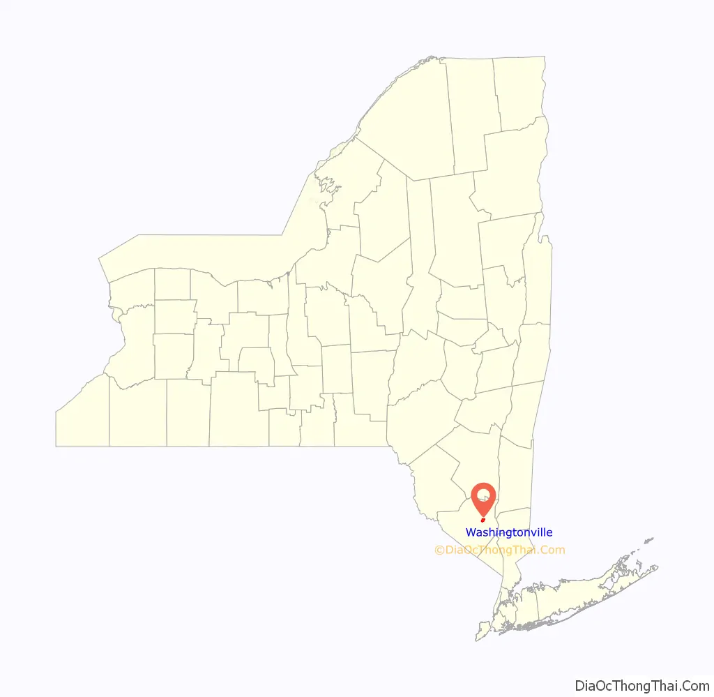
Washingtonville location map. Where is Washingtonville village?
History
Washingtonville was first settled in 1731. The village maintained a slow but steady growth during the second half of the 18th century. In 1809, John Jaques, a boot and shoemaker, set up his shop in this tiny settlement of nine houses, then known as “Little York.” In 1839 he established Brotherhood Winery, now the oldest continuously operating winery in the United States.
In its earlier years, Washingtonville was called “Matthews Field,” even before it was known as Little York. A part of the Rip Van Dam patent, it was sold to Vincent Matthews in 1721. Matthews was the first white European settler of the region. Its earliest known inhabitant was an Indian by the name of Moringamus, whose wigwam or tepee was once pitched in back of where the Coleman bottled-gas plant is located now.
Samuel Moffat built a trading post on the village square in 1811 at the junction of the New Windsor and Blooming Grove Turnpike with the Goshen Road. His son David later endowed Moffat Library on the spot. The hamlet began to prosper with a tannery, grist and plaster mills. A hotel was needed and Samuel Moffat built his Washington Tavern in 1818. The same year Samuel and John Jaques bestowed the village with a new name, Washingtonville, in honor of the late general and first president of the United States. George Washington was said to have come through and watered his horse at the trough which had been located under an elm tree in the center of the village.
Washingtonville grew after 1850, when the New York, Lake Erie and Western Railway built its branch through the village. Incorporated in 1895, the village had become an important dairying center where two creameries, Borden’s (later used as a bus garage for the Washingtonville Central School District) and the Farmers Cooperative Market on South Street, several groceries, a bank, feed and lumber dealers, wagon shops, furniture makers and a hub shop all prospered. Its greatest growth in that time occurred in the seventh and eighth decades.
C.R. Shons opened up a cooperative on Depot Street and also had a large orchard on Goshen Avenue. Thomas Fulton’s grist mill was destroyed by fire in the early 1900s. Hugh Lunney had his slaughterhouse on Goshen Avenue, near where the Spear Printing Company plant was, and also had a large ice house beside the point to Coopers Creek, harvesting ice for commercial use from the pond in the winter.
Borden’s Creamery maintained a bottling plant and its refrigerator cars, loaded with milk, were shipped to Greycourt (Harriman) on either the Erie freight or passenger runs. This firm cut its ice from the small pond south of its creamery, storing it in the ice house on the east side of the plant.
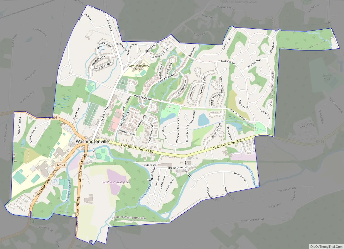
Washingtonville Road Map
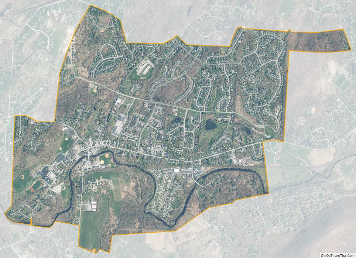
Washingtonville city Satellite Map
Geography
According to the United States Census Bureau, the village has a total area of 2.54 square miles (6.6 km). The village developed on each side of Moodna Creek, a tributary of the Hudson River. It is prone to seasonal flooding. There are also three lakes in the village, none of these have a formal name.
Washingtonville is at the junction of highways NY-94 and NY-208.
The tallest point in the village is approximately 500 feet and is located on the crest of Capital Drive, the lowest point is the easterly most section of the Moodna Creek in the village, at 295 feet.
See also
Map of New York State and its subdivision:- Albany
- Allegany
- Bronx
- Broome
- Cattaraugus
- Cayuga
- Chautauqua
- Chemung
- Chenango
- Clinton
- Columbia
- Cortland
- Delaware
- Dutchess
- Erie
- Essex
- Franklin
- Fulton
- Genesee
- Greene
- Hamilton
- Herkimer
- Jefferson
- Kings
- Lake Ontario
- Lewis
- Livingston
- Madison
- Monroe
- Montgomery
- Nassau
- New York
- Niagara
- Oneida
- Onondaga
- Ontario
- Orange
- Orleans
- Oswego
- Otsego
- Putnam
- Queens
- Rensselaer
- Richmond
- Rockland
- Saint Lawrence
- Saratoga
- Schenectady
- Schoharie
- Schuyler
- Seneca
- Steuben
- Suffolk
- Sullivan
- Tioga
- Tompkins
- Ulster
- Warren
- Washington
- Wayne
- Westchester
- Wyoming
- Yates
- Alabama
- Alaska
- Arizona
- Arkansas
- California
- Colorado
- Connecticut
- Delaware
- District of Columbia
- Florida
- Georgia
- Hawaii
- Idaho
- Illinois
- Indiana
- Iowa
- Kansas
- Kentucky
- Louisiana
- Maine
- Maryland
- Massachusetts
- Michigan
- Minnesota
- Mississippi
- Missouri
- Montana
- Nebraska
- Nevada
- New Hampshire
- New Jersey
- New Mexico
- New York
- North Carolina
- North Dakota
- Ohio
- Oklahoma
- Oregon
- Pennsylvania
- Rhode Island
- South Carolina
- South Dakota
- Tennessee
- Texas
- Utah
- Vermont
- Virginia
- Washington
- West Virginia
- Wisconsin
- Wyoming


