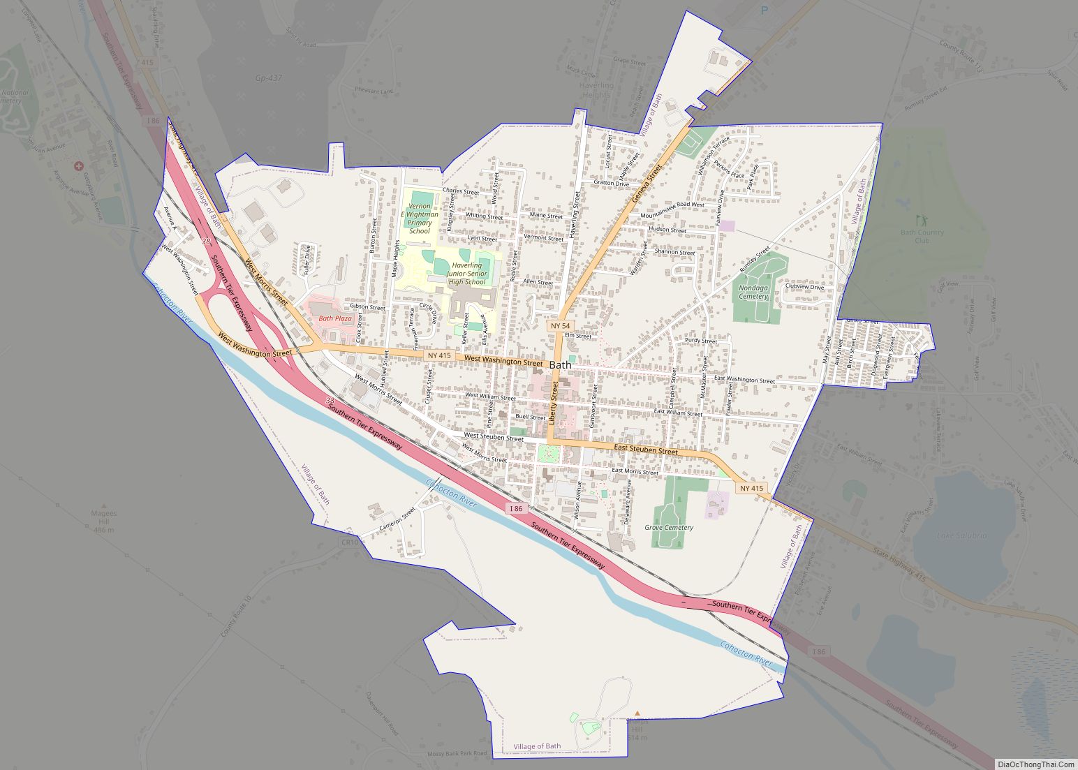
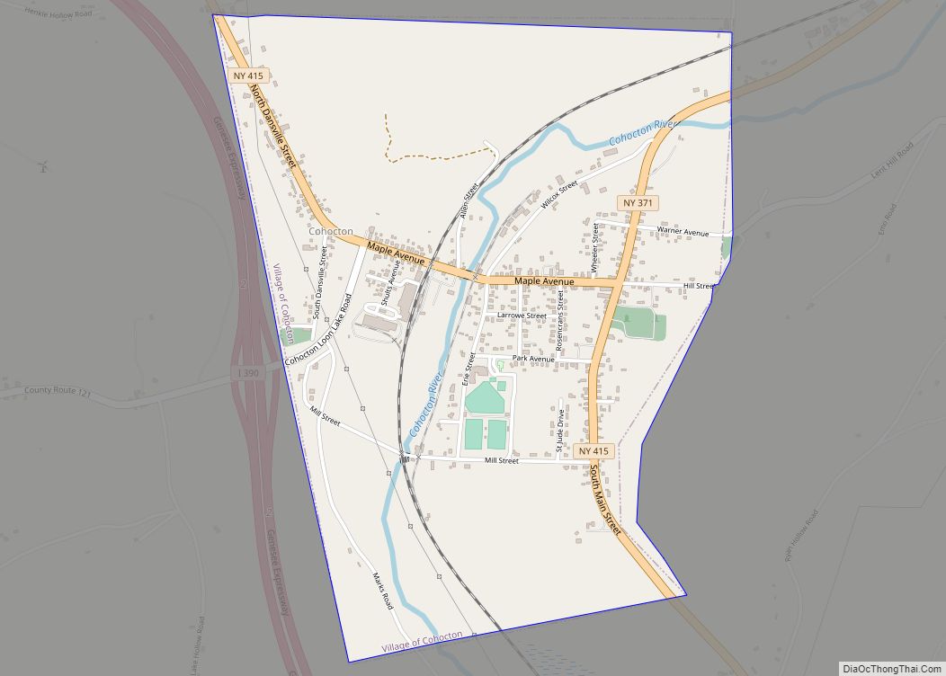
Wayland is a village in Steuben County, New York, United States. The population was 1,865 at the 2010 census.
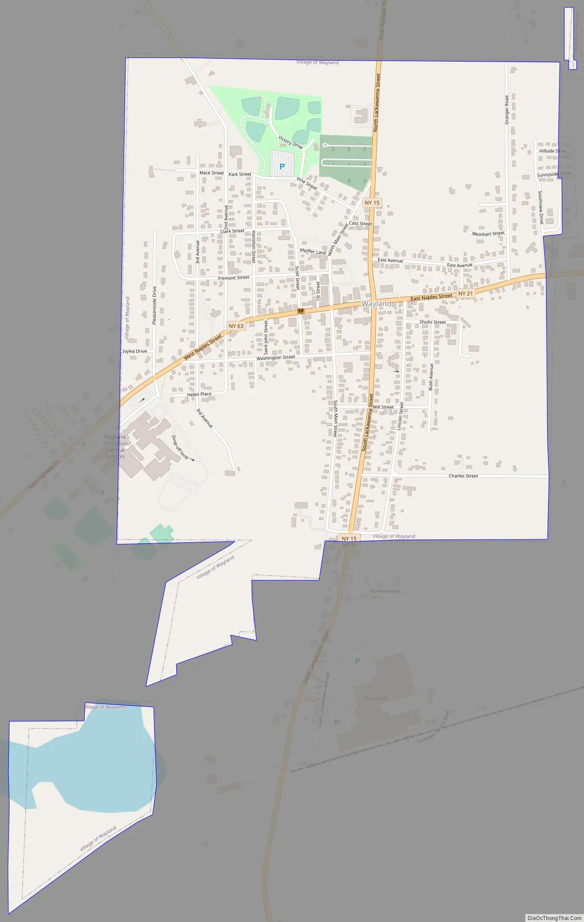
The Village of Wayland is in the northern part of the Town of Wayland, near the northern border of Steuben County.
| Name: | Wayland village |
|---|---|
| LSAD Code: | 47 |
| LSAD Description: | village (suffix) |
| State: | New York |
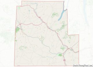
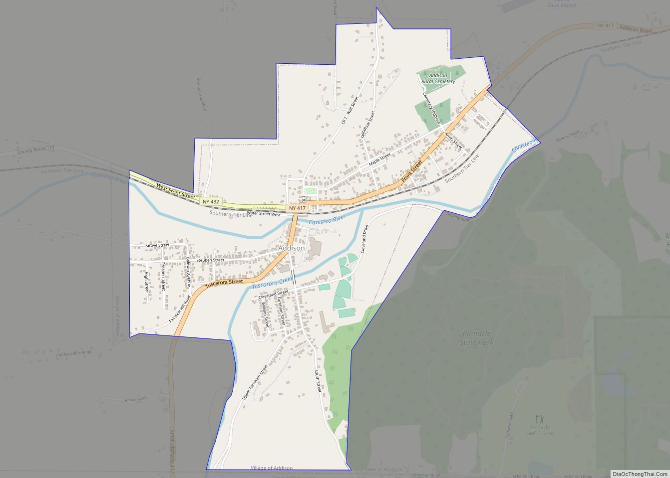
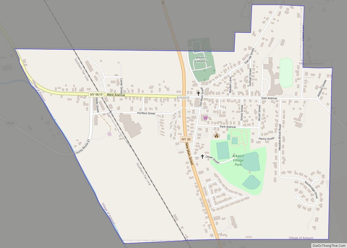
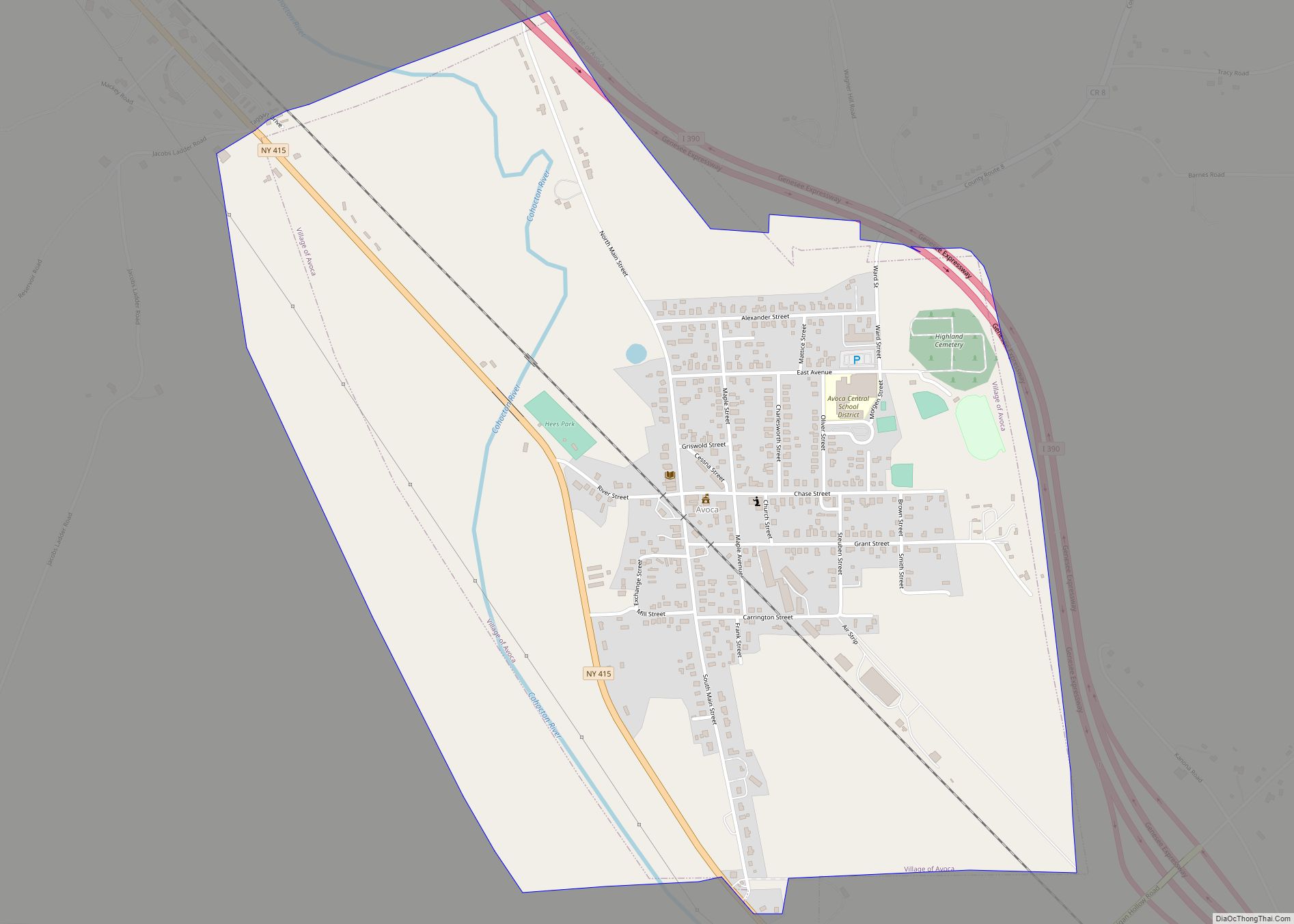
| County: | Steuben County |
| Elevation: | 1,375 ft (419 m) |
| Total Area: | 1.19 sq mi (3.08 km²) |
| Land Area: | 1.13 sq mi (2.93 km²) |
| Water Area: | 0.06 sq mi (0.15 km²) |
| Total Population: | 1,680 |
| Population Density: | 1,486.73/sq mi (574.23/km²) |
| ZIP code: | 14572 |
| Area code: | 585 |
| FIPS code: | 3678850 |
| GNISfeature ID: | 0968949 |
Online Interactive Map
Click on ![]() to view map in "full screen" mode.
to view map in "full screen" mode.
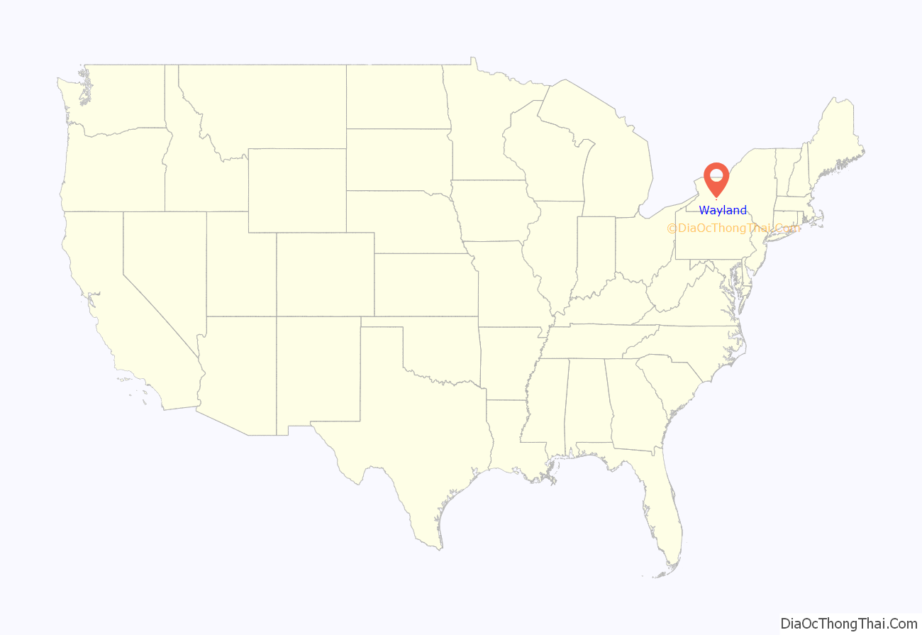
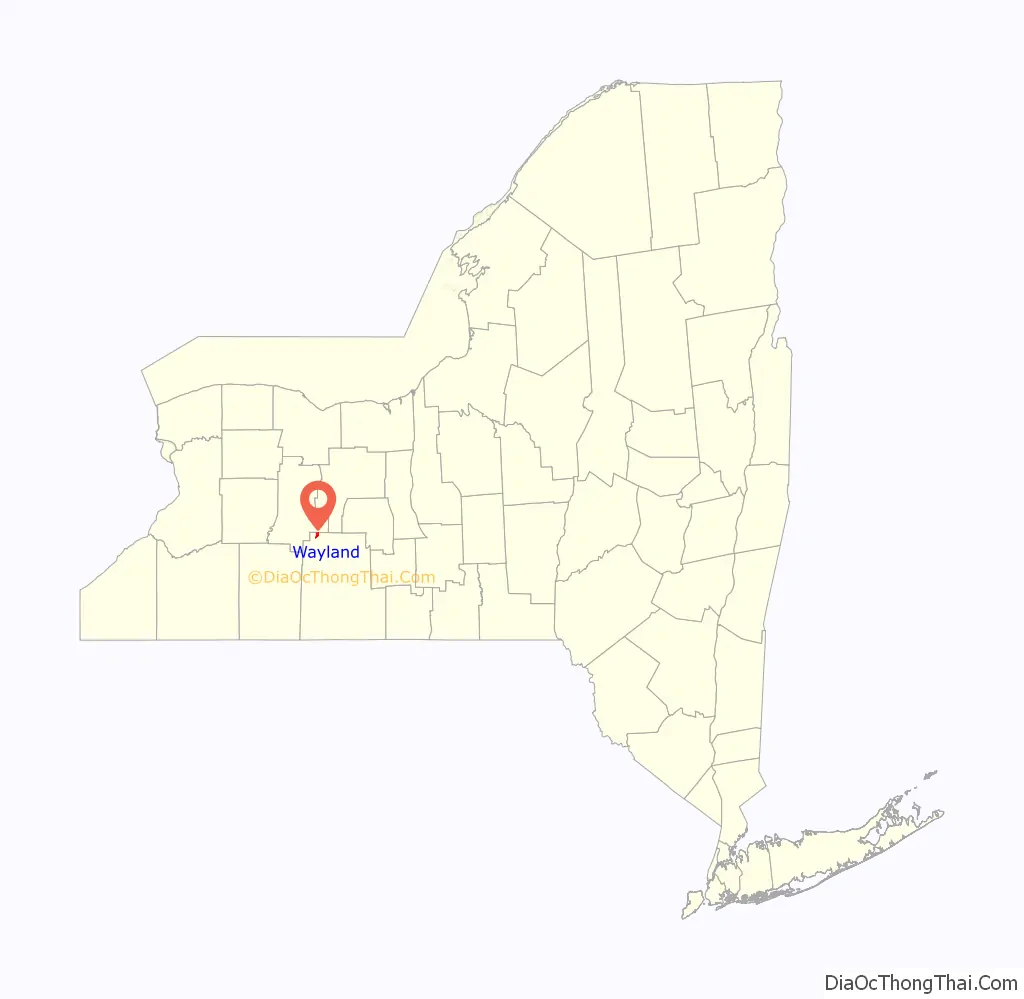
Wayland location map. Where is Wayland village?
History
The village was incorporated in 1877. The village grew after it was selected as a station on the Erie Railroad.
Wayland Road Map
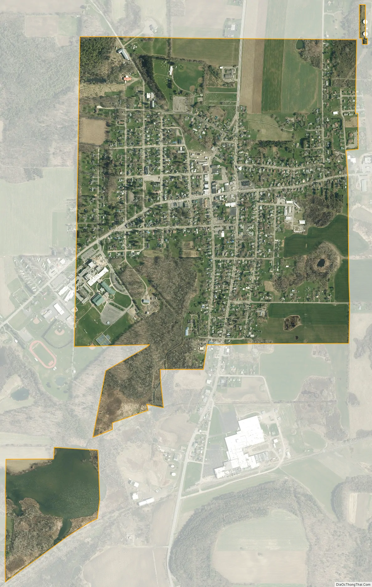
Wayland city Satellite Map
Geography
Wayland is located at 42°34′5″N 77°35′30″W / 42.56806°N 77.59167°W / 42.56806; -77.59167 (42.568131, -77.591854).
According to the United States Census Bureau, the village has a total area of 1.0 square mile (2.7 km), all land.
Wayland is in the northwestern part of the county, near the border of Livingston County and just north of Interstate 390 at the junction of NY-15, NY-21 and NY-63. County Road 93 also leads into the village from the north.
Wayland is the northern terminal of the B&H Rail Corporation’s Painted Post-to-Wayland railroad line.
Wayland was formerly located on the New York City (Hoboken)-to-Buffalo Main Line of the Delaware, Lackawanna & Western Railroad and on the New York City (Jersey City)-to-Rochester Main Line of the Erie Railroad. Both of these routes were abandoned and partially or fully-dismantled through Wayland by order of the United States Interstate Commerce Commission, to promote highway and air transportation. Additionally, upon the 1960 merger of the Delaware, Lackawanna and Western Railroad and the Erie Railroad, the new Erie Lackawanna Railroad obtained the ability to abandon the Groveland-Wayland portion of its former DL&W Buffalo-Hoboken, NJ mainline, thus eliminating a steep southbound (railroad east) grade that had operationally tormented the DL&W for 81 years (since 1882). The EL rerouted its combined Buffalo-Hoboken operation to the Erie Buffalo-Hoboken mainline, via Hornell alone, when the former DL&W track was lifted in 1963.
See also
Map of New York State and its subdivision:- Albany
- Allegany
- Bronx
- Broome
- Cattaraugus
- Cayuga
- Chautauqua
- Chemung
- Chenango
- Clinton
- Columbia
- Cortland
- Delaware
- Dutchess
- Erie
- Essex
- Franklin
- Fulton
- Genesee
- Greene
- Hamilton
- Herkimer
- Jefferson
- Kings
- Lake Ontario
- Lewis
- Livingston
- Madison
- Monroe
- Montgomery
- Nassau
- New York
- Niagara
- Oneida
- Onondaga
- Ontario
- Orange
- Orleans
- Oswego
- Otsego
- Putnam
- Queens
- Rensselaer
- Richmond
- Rockland
- Saint Lawrence
- Saratoga
- Schenectady
- Schoharie
- Schuyler
- Seneca
- Steuben
- Suffolk
- Sullivan
- Tioga
- Tompkins
- Ulster
- Warren
- Washington
- Wayne
- Westchester
- Wyoming
- Yates
- Alabama
- Alaska
- Arizona
- Arkansas
- California
- Colorado
- Connecticut
- Delaware
- District of Columbia
- Florida
- Georgia
- Hawaii
- Idaho
- Illinois
- Indiana
- Iowa
- Kansas
- Kentucky
- Louisiana
- Maine
- Maryland
- Massachusetts
- Michigan
- Minnesota
- Mississippi
- Missouri
- Montana
- Nebraska
- Nevada
- New Hampshire
- New Jersey
- New Mexico
- New York
- North Carolina
- North Dakota
- Ohio
- Oklahoma
- Oregon
- Pennsylvania
- Rhode Island
- South Carolina
- South Dakota
- Tennessee
- Texas
- Utah
- Vermont
- Virginia
- Washington
- West Virginia
- Wisconsin
- Wyoming