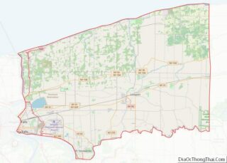
Wilson is a town in Niagara County, New York, United States. The population was 5,993 at the 2010 census. The town was named after an early settler, Reuben Wilson, who built and dwelt in a log cabin on the shore of Lake Ontario at the site of what would become the Village of Wilson.
The Town of Wilson is on the northern border of the county and contains a village, also called Wilson.
| Name: | Wilson village |
|---|---|
| LSAD Code: | 47 |
| LSAD Description: | village (suffix) |
| State: | New York |
| County: | Niagara County |
| Total Area: | 51.46 sq mi (133.29 km²) |
| Land Area: | 49.41 sq mi (127.96 km²) |
| Water Area: | 2.06 sq mi (5.33 km²) |
| Total Population: | 5,993 |
| Population Density: | 118.23/sq mi (45.65/km²) |
| FIPS code: | 3682359 |
Online Interactive Map
Click on ![]() to view map in "full screen" mode.
to view map in "full screen" mode.
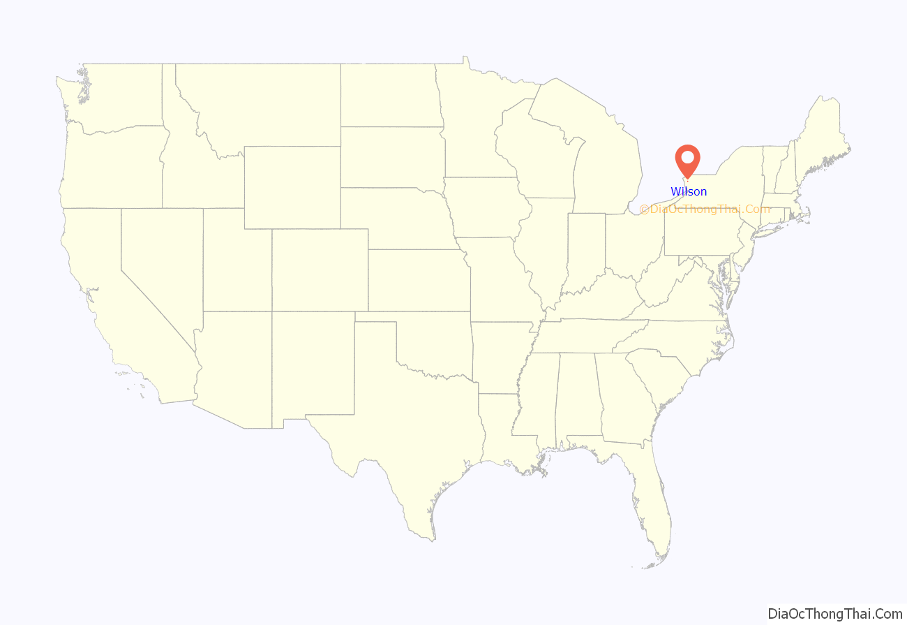
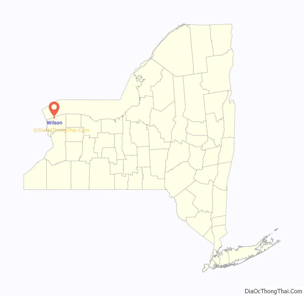
Wilson location map. Where is Wilson village?
History
The Town of Wilson was established in 1818 from the town of Porter. The origin of the town name is Reuben Wilson, one of the earliest pioneers of the town.
The Morse Cobblestone Farmhouse was listed on the National Register of Historic Places in 2010.
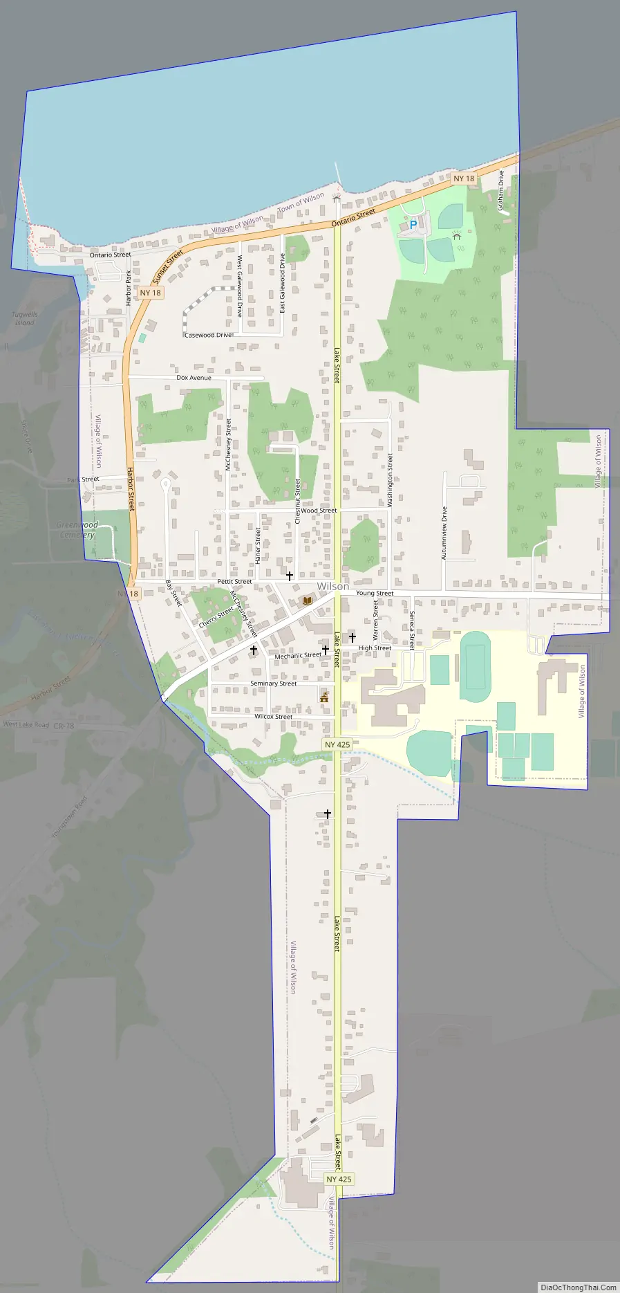
Wilson Road Map
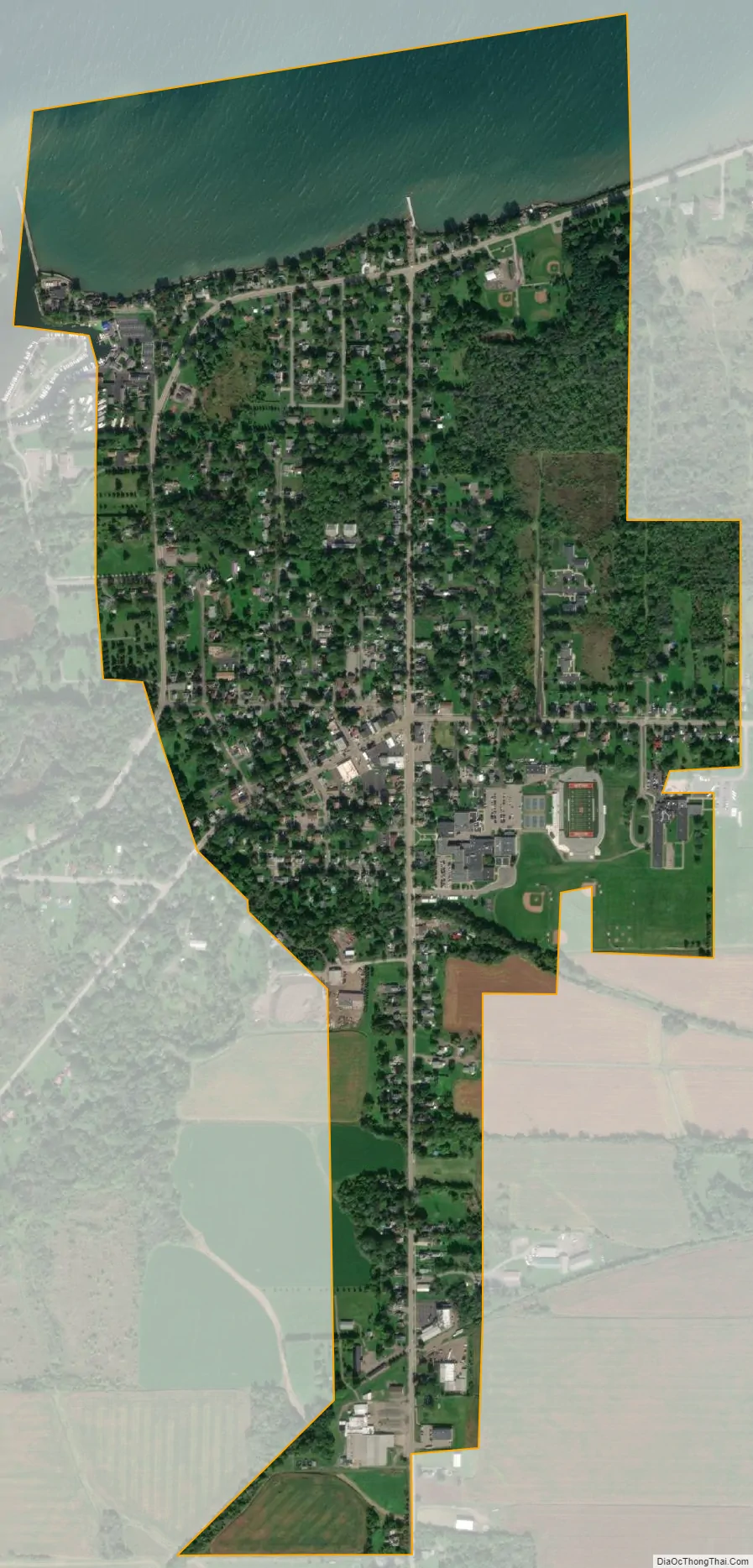
Wilson city Satellite Map
Geography
According to the United States Census Bureau, the town has a total area of 51.5 square miles (133.3 km), of which 49.5 square miles (128.3 km) is land and 1.9 square miles (5.0 km) (3.75%) is water.
The Town of Wilson is on the south shore of Lake Ontario.
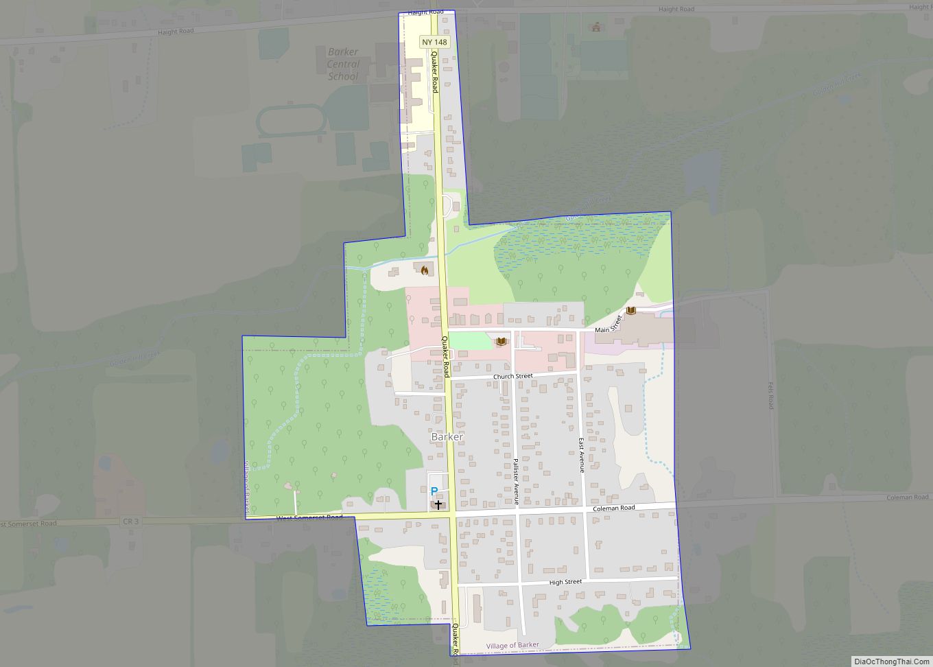
North-south highway New York State Route 425 (Wilson-Cambria Road) intersects New York State Route 18 (Seaway Trail) in Wilson village.
Adjacent cities and towns
- Town of Porter – west
- Town of Lewiston – southwest
- Town of Newfane – east
- Town of Cambria – south
- Lake Ontario – north
Major highways in the Town of Wilson
- New York State Route 18 (Lake Rd., Creek Rd.), East-West Highway across the north part of town roughly paralleling Lake Ontario from Porter town line to the Newfane town line.
- New York State Route 93 (Youngstown-Lockport Rd.), East-West roadway through the southwest part of town from the Cambria town line to the Porter town line.
- New York State Route 425 (Cambria-Wilson Rd.), (Lake Street), North-South roadway through the town from its northern terminus with NY 18 to the Cambria town line.
See also
Map of New York State and its subdivision:- Albany
- Allegany
- Bronx
- Broome
- Cattaraugus
- Cayuga
- Chautauqua
- Chemung
- Chenango
- Clinton
- Columbia
- Cortland
- Delaware
- Dutchess
- Erie
- Essex
- Franklin
- Fulton
- Genesee
- Greene
- Hamilton
- Herkimer
- Jefferson
- Kings
- Lake Ontario
- Lewis
- Livingston
- Madison
- Monroe
- Montgomery
- Nassau
- New York
- Niagara
- Oneida
- Onondaga
- Ontario
- Orange
- Orleans
- Oswego
- Otsego
- Putnam
- Queens
- Rensselaer
- Richmond
- Rockland
- Saint Lawrence
- Saratoga
- Schenectady
- Schoharie
- Schuyler
- Seneca
- Steuben
- Suffolk
- Sullivan
- Tioga
- Tompkins
- Ulster
- Warren
- Washington
- Wayne
- Westchester
- Wyoming
- Yates
- Alabama
- Alaska
- Arizona
- Arkansas
- California
- Colorado
- Connecticut
- Delaware
- District of Columbia
- Florida
- Georgia
- Hawaii
- Idaho
- Illinois
- Indiana
- Iowa
- Kansas
- Kentucky
- Louisiana
- Maine
- Maryland
- Massachusetts
- Michigan
- Minnesota
- Mississippi
- Missouri
- Montana
- Nebraska
- Nevada
- New Hampshire
- New Jersey
- New Mexico
- New York
- North Carolina
- North Dakota
- Ohio
- Oklahoma
- Oregon
- Pennsylvania
- Rhode Island
- South Carolina
- South Dakota
- Tennessee
- Texas
- Utah
- Vermont
- Virginia
- Washington
- West Virginia
- Wisconsin
- Wyoming