Woodbury is a hamlet and census-designated place (CDP) located within the Town of Oyster Bay in Nassau County, on Long Island, in New York, United States. The population was 8,907 at the 2010 census.
Woodbury borders Laurel Hollow to the north, Plainview to the south, Syosset to the west, and Cold Spring Harbor, West Hills and South Huntington to the east. Woodbury is located approximately 35 miles (57 km) east of Midtown Manhattan.
| Name: | Woodbury CDP |
|---|---|
| LSAD Code: | 57 |
| LSAD Description: | CDP (suffix) |
| State: | New York |
| County: | Nassau County |
| Total Area: | 5.1 sq mi (13 km²) |
| Land Area: | 5.1 sq mi (13 km²) |
| Water Area: | 0.0 sq mi (0.0 km²) |
| Total Population: | 8,907 |
| Population Density: | 1,700/sq mi (670/km²) |
| FIPS code: | 3682744 |
Online Interactive Map
Click on ![]() to view map in "full screen" mode.
to view map in "full screen" mode.
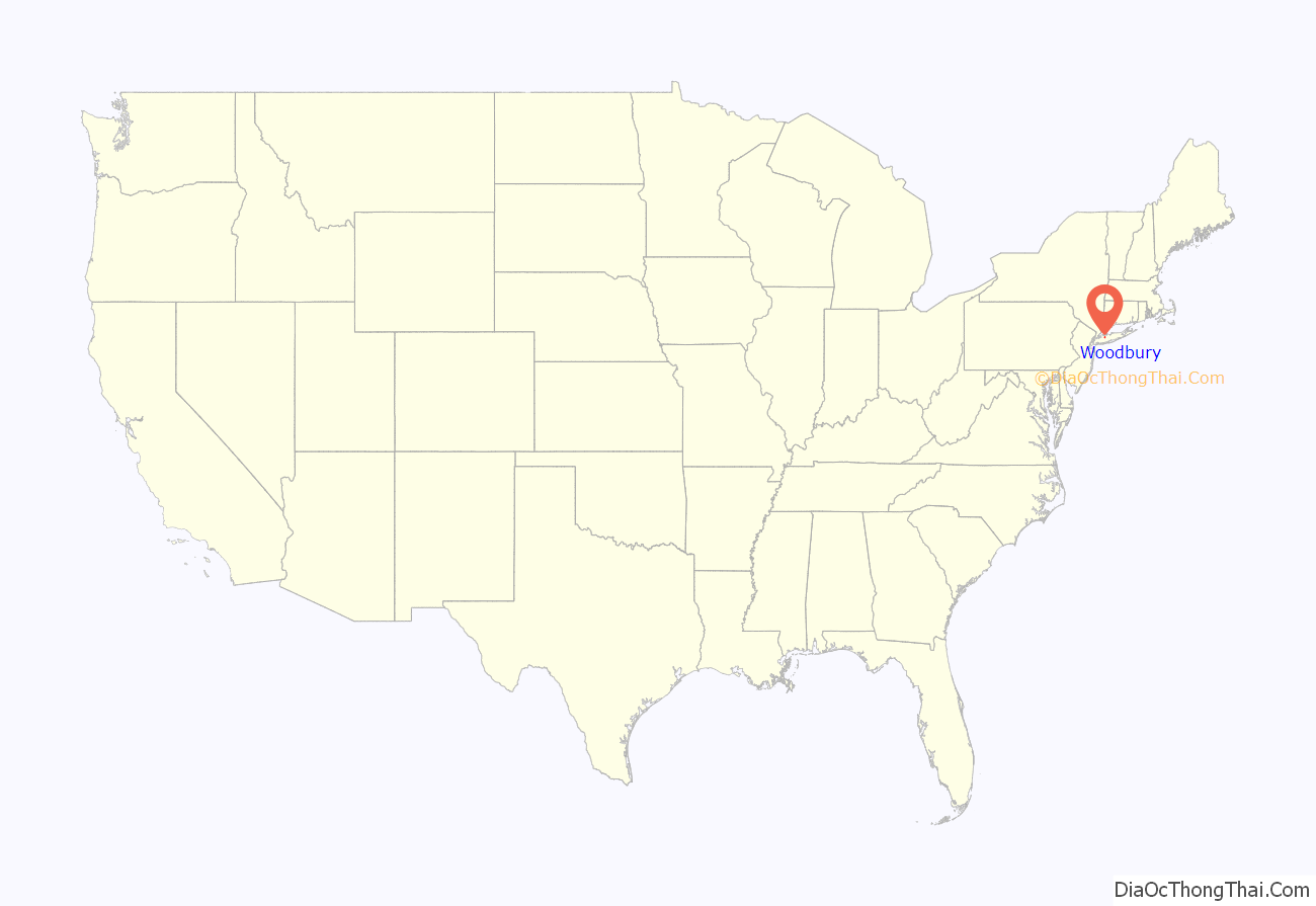
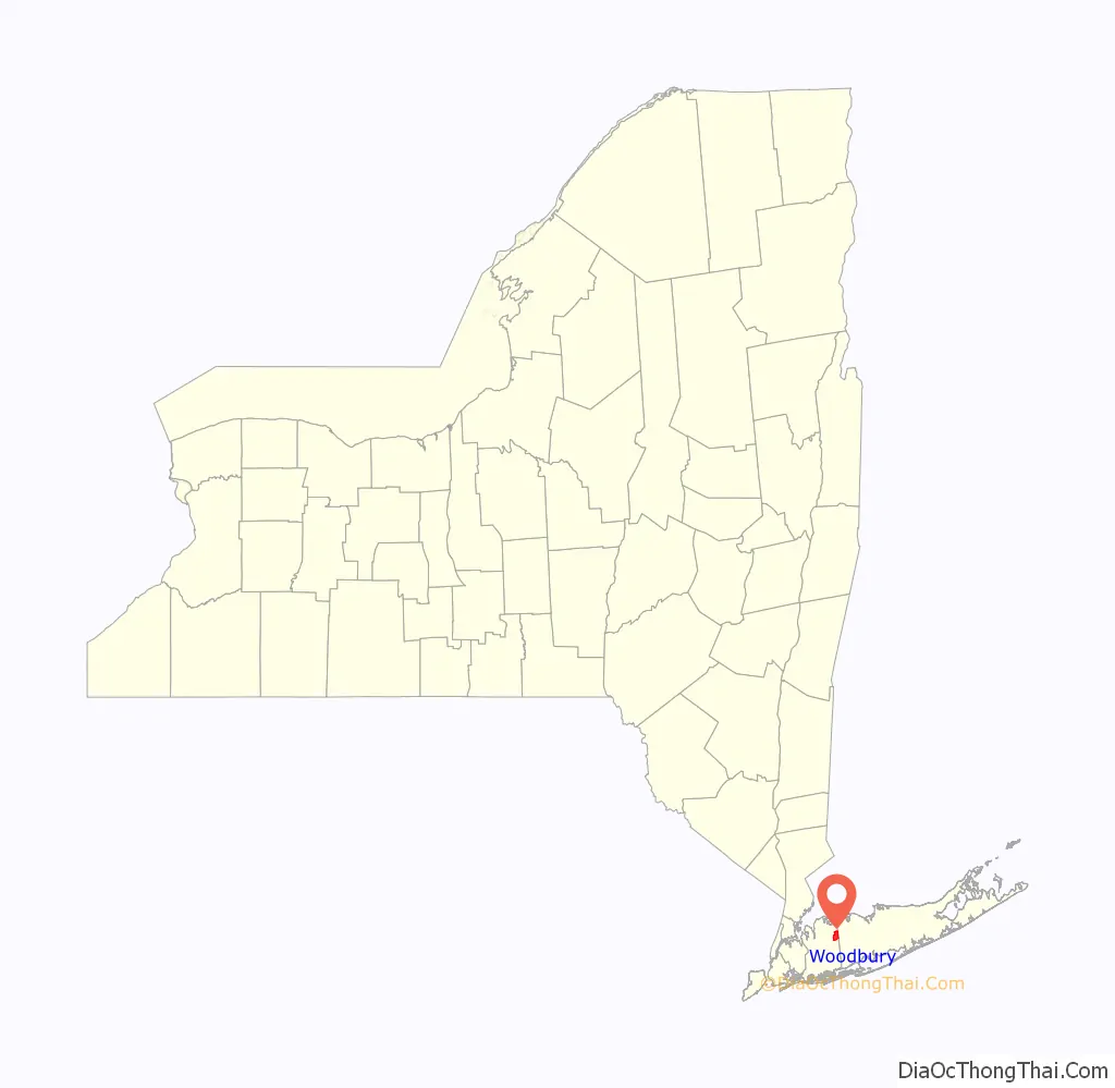
Woodbury location map. Where is Woodbury CDP?
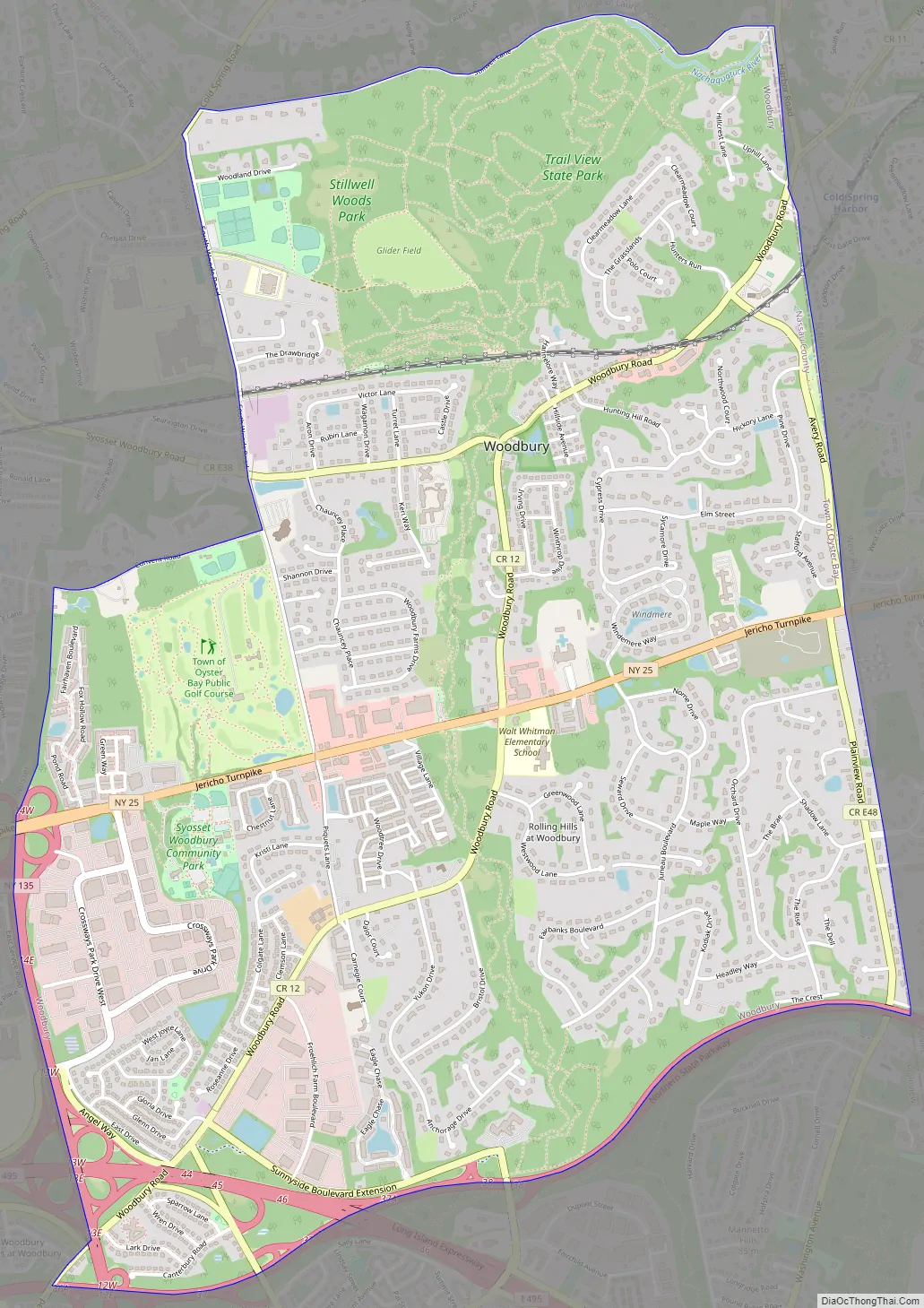
Woodbury Road Map
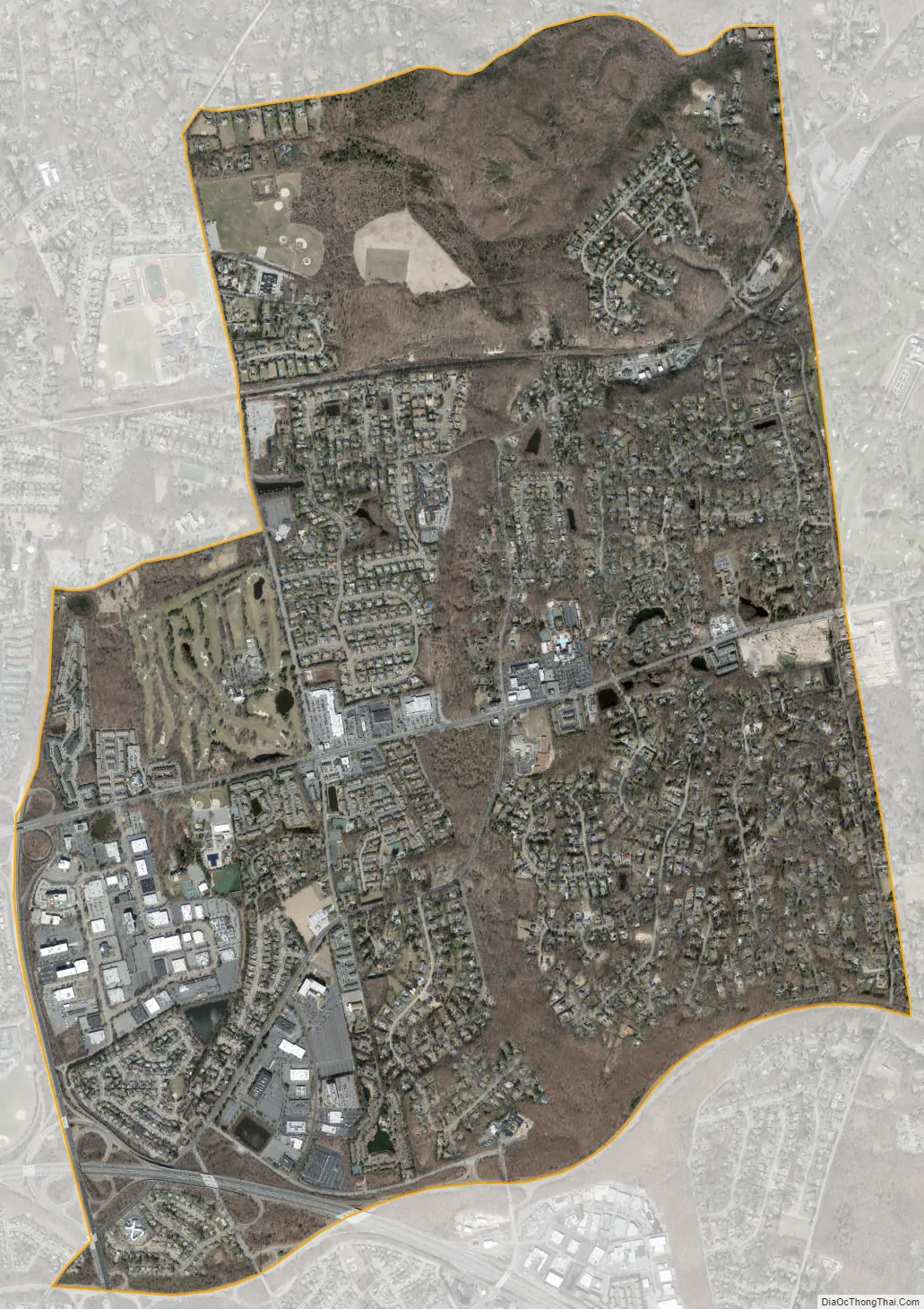
Woodbury city Satellite Map
Geography
According to the United States Census Bureau, the CDP has a total area of 5.1 square miles (13 km), of which 0.20% is water.
The ZIP Code of the Woodbury Post Office is 11797.
See also
Map of New York State and its subdivision:- Albany
- Allegany
- Bronx
- Broome
- Cattaraugus
- Cayuga
- Chautauqua
- Chemung
- Chenango
- Clinton
- Columbia
- Cortland
- Delaware
- Dutchess
- Erie
- Essex
- Franklin
- Fulton
- Genesee
- Greene
- Hamilton
- Herkimer
- Jefferson
- Kings
- Lake Ontario
- Lewis
- Livingston
- Madison
- Monroe
- Montgomery
- Nassau
- New York
- Niagara
- Oneida
- Onondaga
- Ontario
- Orange
- Orleans
- Oswego
- Otsego
- Putnam
- Queens
- Rensselaer
- Richmond
- Rockland
- Saint Lawrence
- Saratoga
- Schenectady
- Schoharie
- Schuyler
- Seneca
- Steuben
- Suffolk
- Sullivan
- Tioga
- Tompkins
- Ulster
- Warren
- Washington
- Wayne
- Westchester
- Wyoming
- Yates
- Alabama
- Alaska
- Arizona
- Arkansas
- California
- Colorado
- Connecticut
- Delaware
- District of Columbia
- Florida
- Georgia
- Hawaii
- Idaho
- Illinois
- Indiana
- Iowa
- Kansas
- Kentucky
- Louisiana
- Maine
- Maryland
- Massachusetts
- Michigan
- Minnesota
- Mississippi
- Missouri
- Montana
- Nebraska
- Nevada
- New Hampshire
- New Jersey
- New Mexico
- New York
- North Carolina
- North Dakota
- Ohio
- Oklahoma
- Oregon
- Pennsylvania
- Rhode Island
- South Carolina
- South Dakota
- Tennessee
- Texas
- Utah
- Vermont
- Virginia
- Washington
- West Virginia
- Wisconsin
- Wyoming


