Worcester is a census-designated place (CDP) forming the central settlement of the town of Worcester in Otsego County, New York, United States. The population of the CDP was 986 at the 2020 census.
| Name: | Worcester CDP |
|---|---|
| LSAD Code: | 57 |
| LSAD Description: | CDP (suffix) |
| State: | New York |
| County: | Otsego County |
| Elevation: | 1,330 ft (410 m) |
| Total Area: | 8.61 sq mi (22.30 km²) |
| Land Area: | 8.56 sq mi (22.18 km²) |
| Water Area: | 0.05 sq mi (0.12 km²) |
| Total Population: | 986 |
| Population Density: | 115.13/sq mi (44.45/km²) |
| Area code: | 607 |
| FIPS code: | 3683118 |
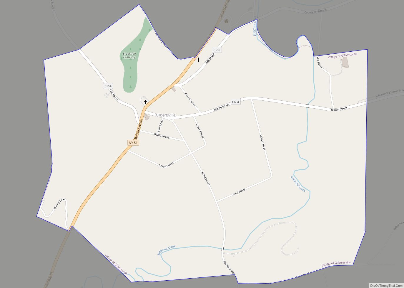
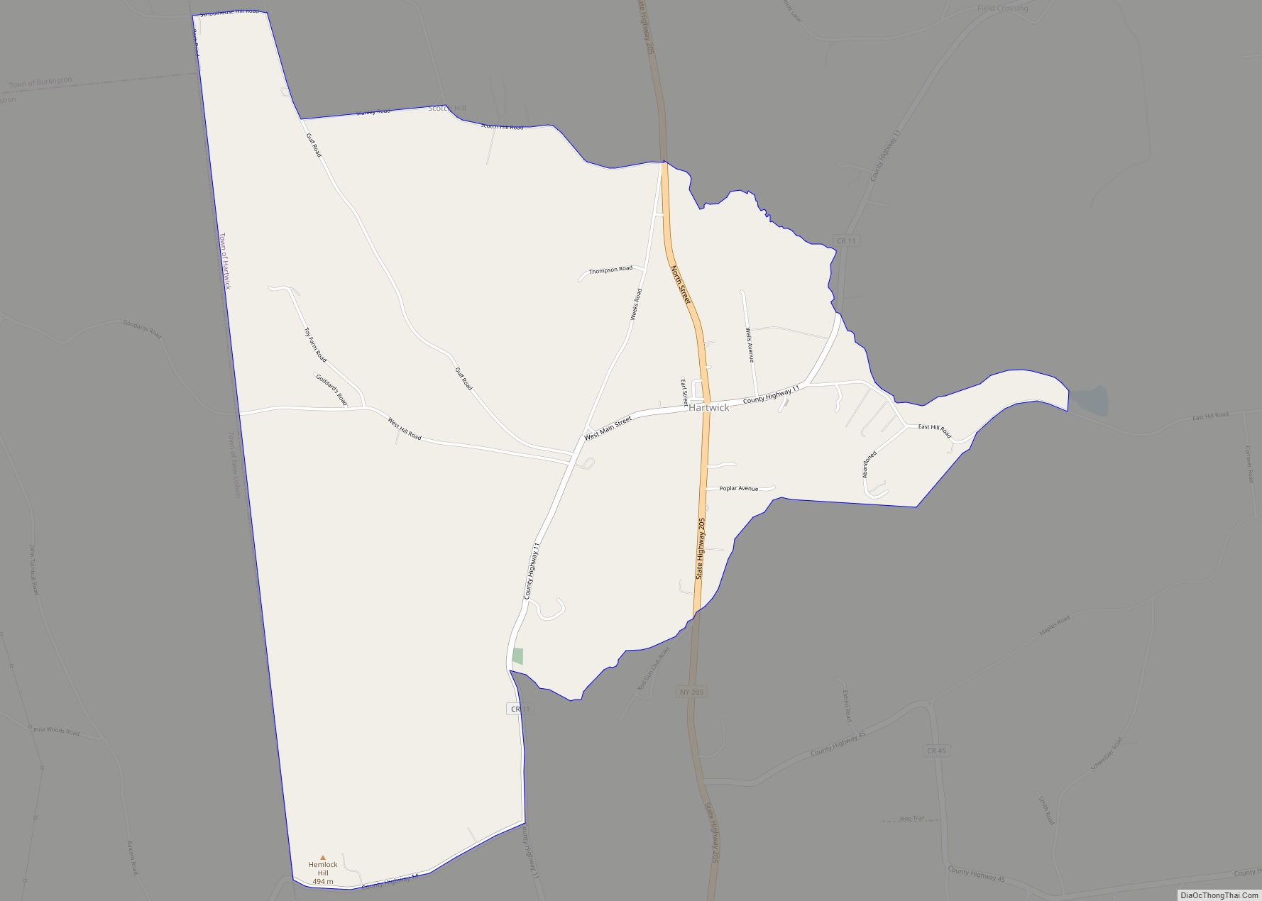
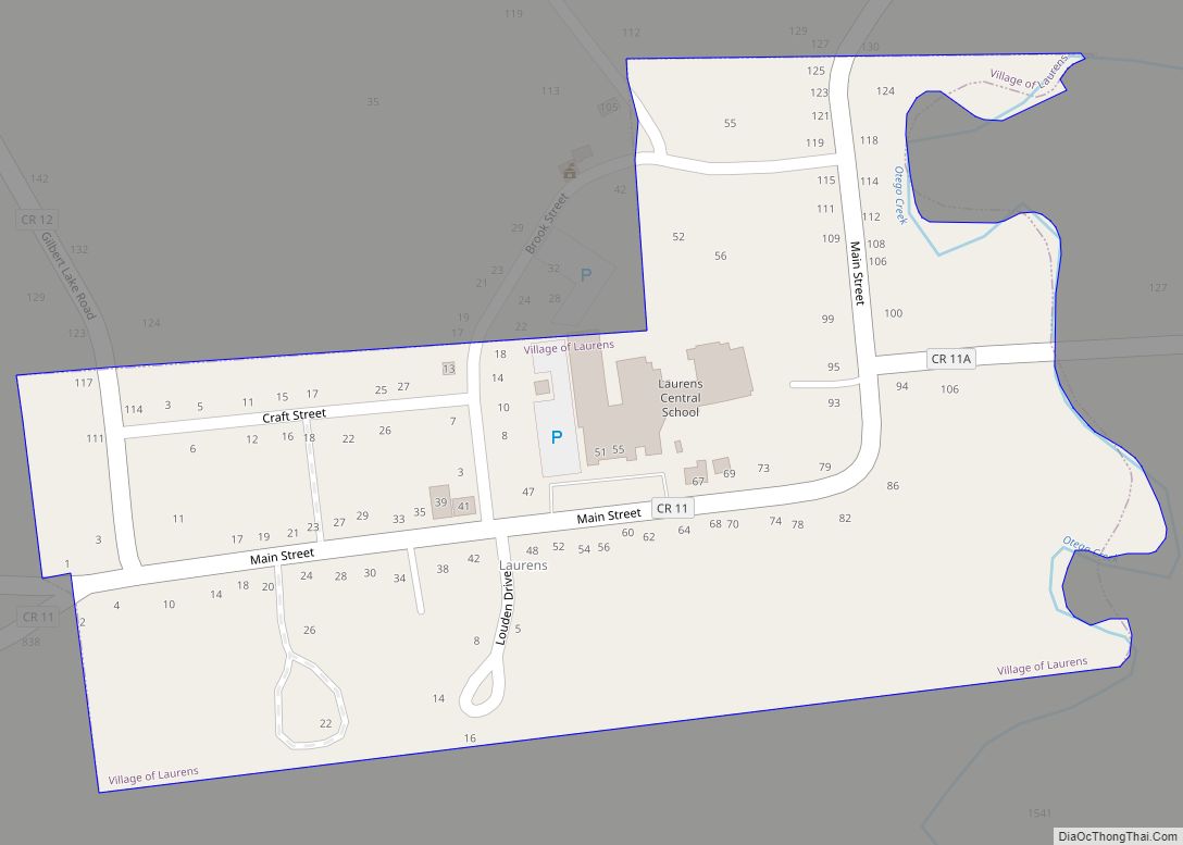
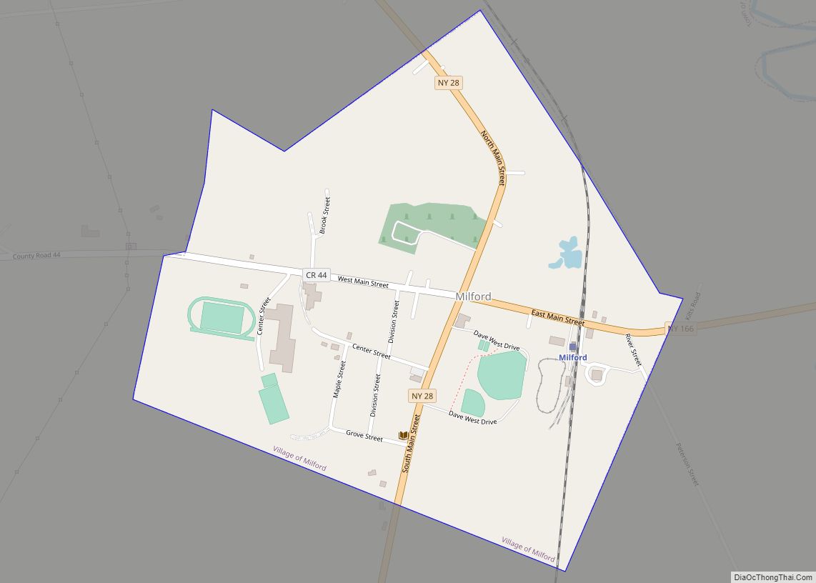
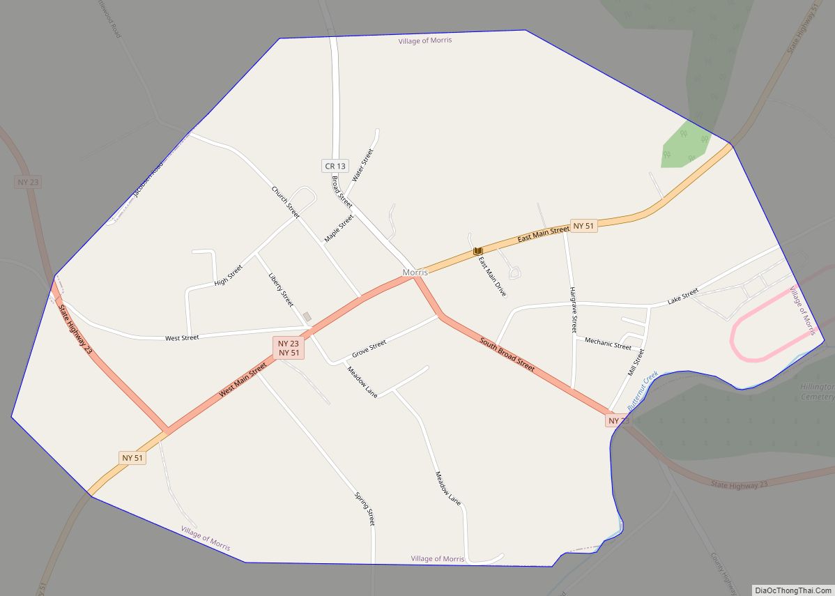
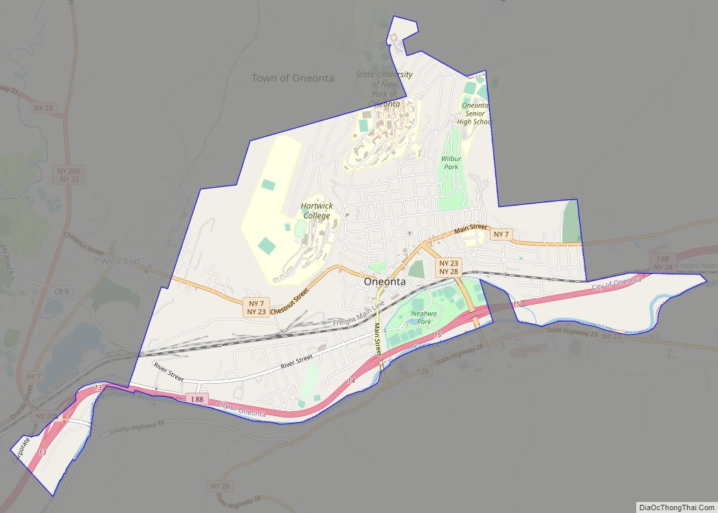
Online Interactive Map
Click on ![]() to view map in "full screen" mode.
to view map in "full screen" mode.
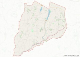
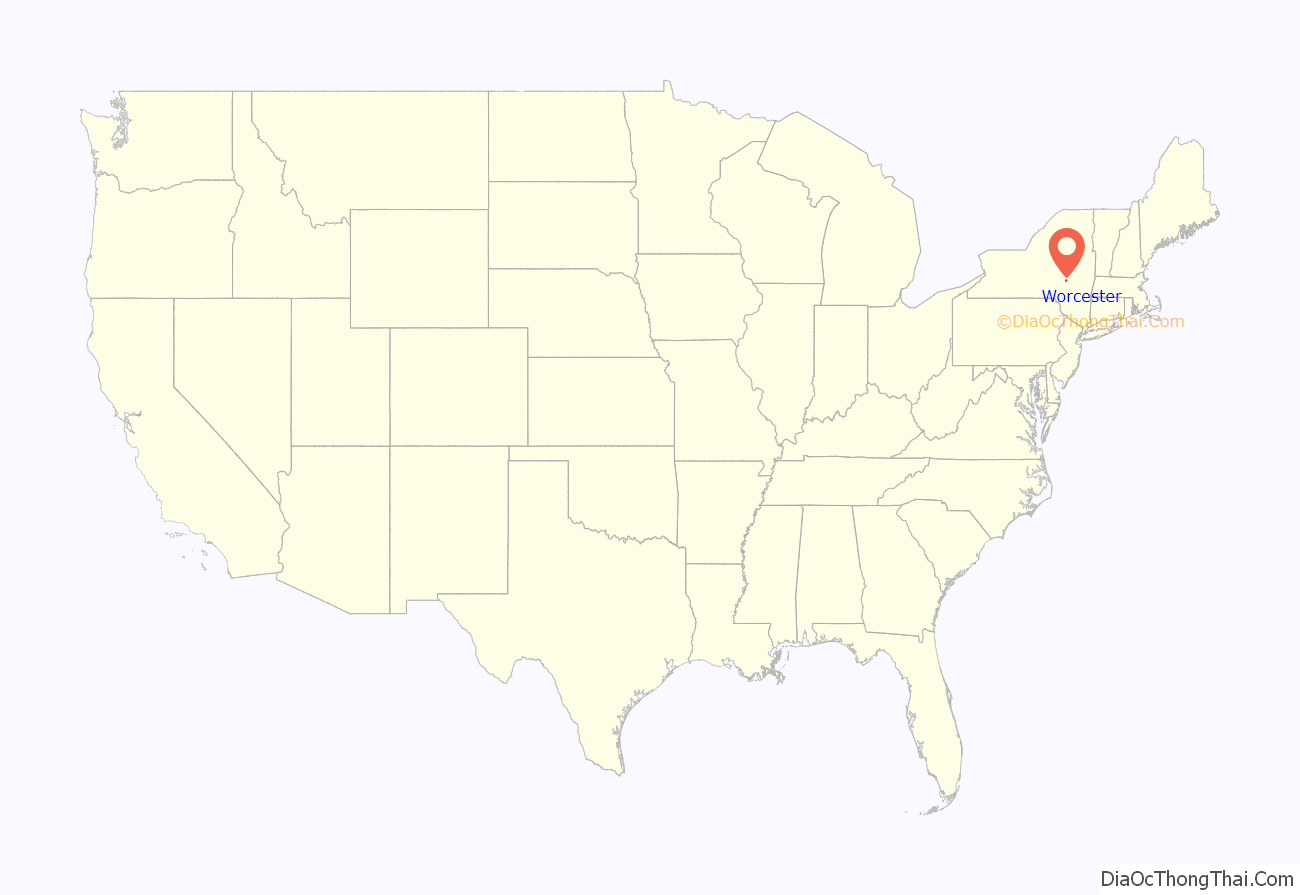
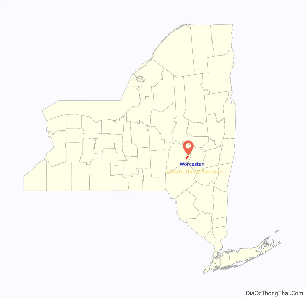
Worcester location map. Where is Worcester CDP?
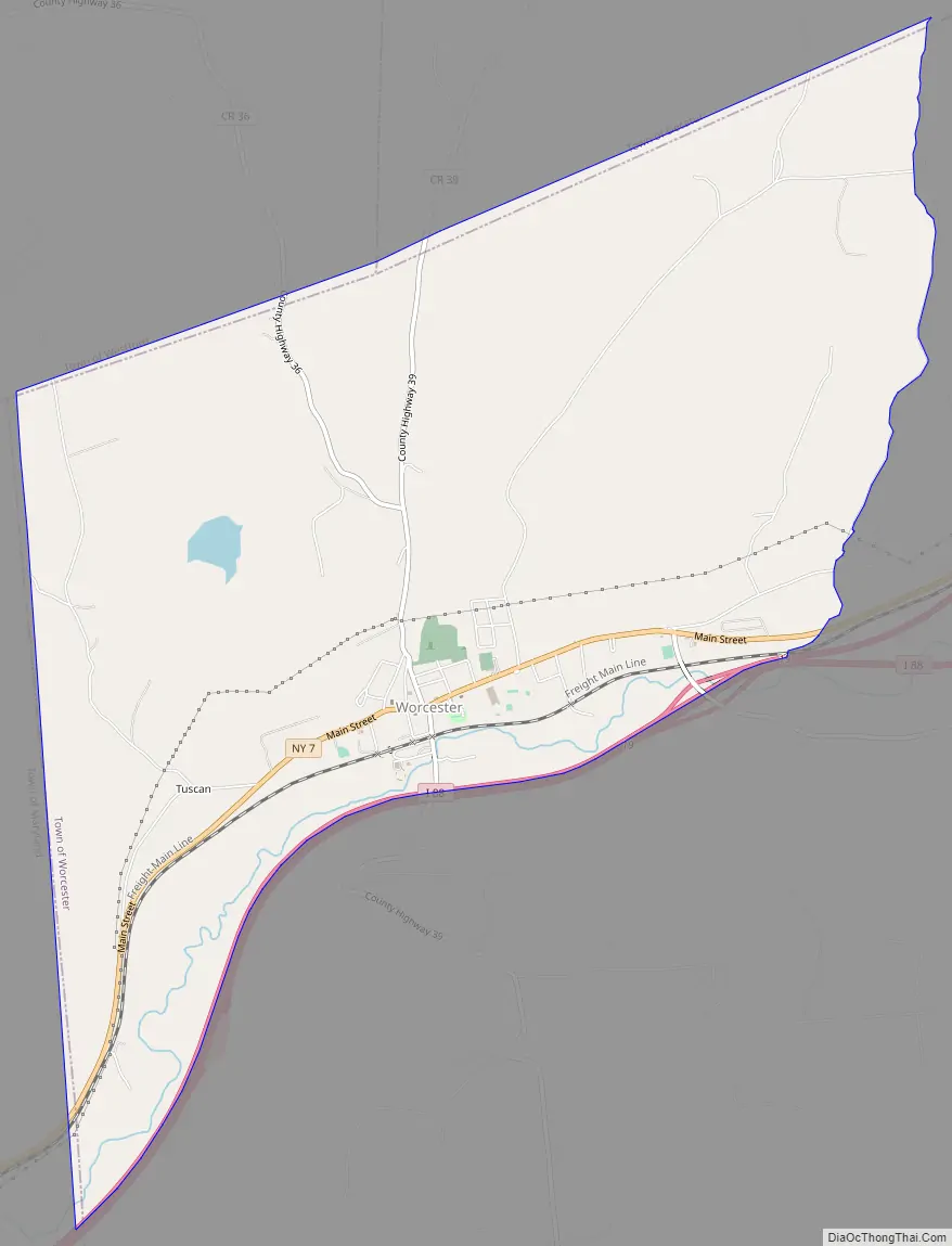
Worcester Road Map
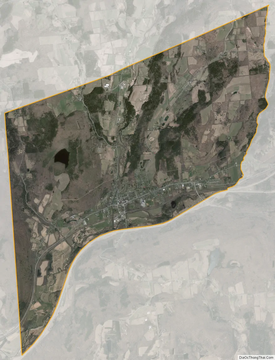
Worcester city Satellite Map
Geography
Worcester is located at 42°35′30″N 74°45′1″W / 42.59167°N 74.75028°W / 42.59167; -74.75028 (42.59172, -74.75050), along New York State Route 7. Interstate 88 skirts the south edge of the CDP, serving the community via Exit 19, one mile (1.6 km) east of the CDP center.
According to the United States Census Bureau, the CDP has a total area of 8.6 square miles (22.3 km), of which 8.6 square miles (22.2 km) is land and 0.039 square miles (0.1 km), or 0.53%, is water.
See also
Map of New York State and its subdivision:- Albany
- Allegany
- Bronx
- Broome
- Cattaraugus
- Cayuga
- Chautauqua
- Chemung
- Chenango
- Clinton
- Columbia
- Cortland
- Delaware
- Dutchess
- Erie
- Essex
- Franklin
- Fulton
- Genesee
- Greene
- Hamilton
- Herkimer
- Jefferson
- Kings
- Lake Ontario
- Lewis
- Livingston
- Madison
- Monroe
- Montgomery
- Nassau
- New York
- Niagara
- Oneida
- Onondaga
- Ontario
- Orange
- Orleans
- Oswego
- Otsego
- Putnam
- Queens
- Rensselaer
- Richmond
- Rockland
- Saint Lawrence
- Saratoga
- Schenectady
- Schoharie
- Schuyler
- Seneca
- Steuben
- Suffolk
- Sullivan
- Tioga
- Tompkins
- Ulster
- Warren
- Washington
- Wayne
- Westchester
- Wyoming
- Yates
- Alabama
- Alaska
- Arizona
- Arkansas
- California
- Colorado
- Connecticut
- Delaware
- District of Columbia
- Florida
- Georgia
- Hawaii
- Idaho
- Illinois
- Indiana
- Iowa
- Kansas
- Kentucky
- Louisiana
- Maine
- Maryland
- Massachusetts
- Michigan
- Minnesota
- Mississippi
- Missouri
- Montana
- Nebraska
- Nevada
- New Hampshire
- New Jersey
- New Mexico
- New York
- North Carolina
- North Dakota
- Ohio
- Oklahoma
- Oregon
- Pennsylvania
- Rhode Island
- South Carolina
- South Dakota
- Tennessee
- Texas
- Utah
- Vermont
- Virginia
- Washington
- West Virginia
- Wisconsin
- Wyoming